West End
Settlement in Somerset
England
West End
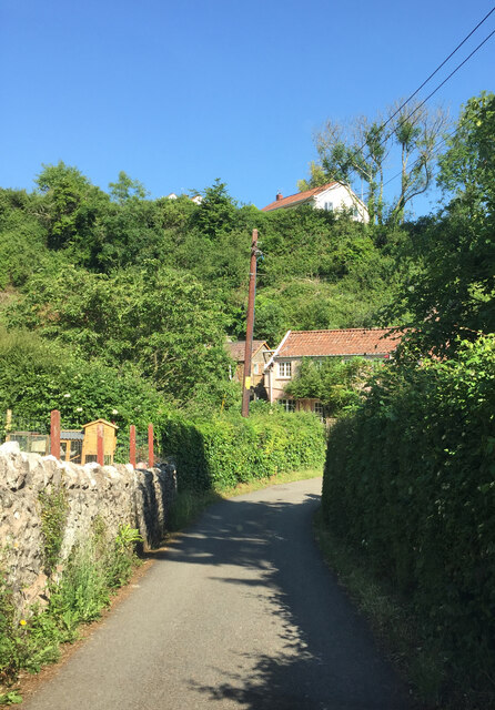
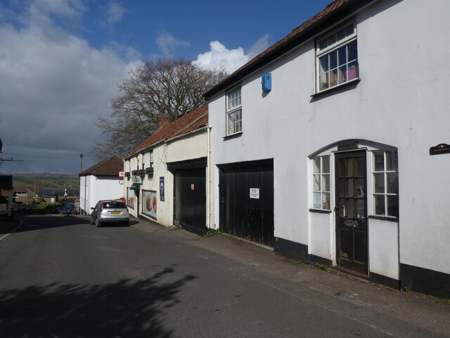
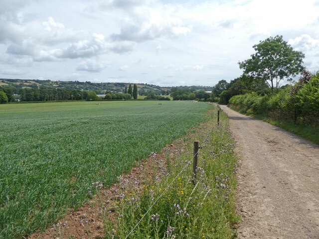
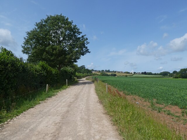
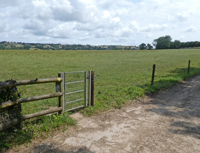
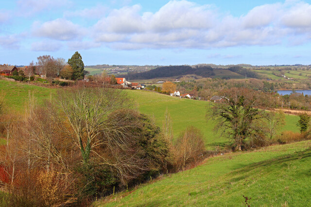
West End is a small village located in the county of Somerset, England. Situated in the northern part of the county, it lies approximately 10 miles south-west of the city of Bath. The village is nestled in a picturesque rural setting, surrounded by rolling hills and countryside, offering residents a tranquil and scenic environment.
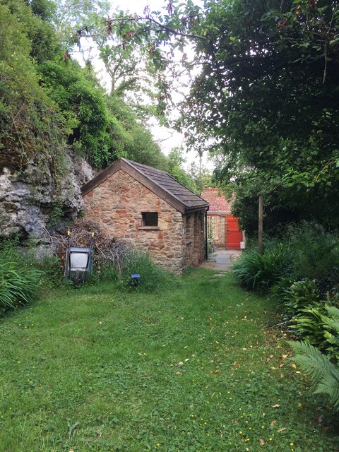
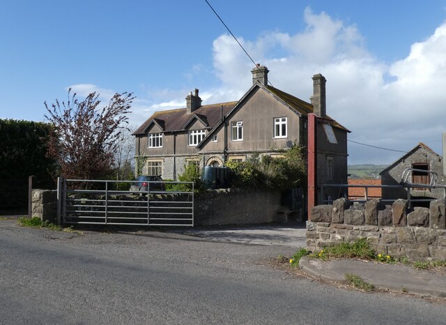
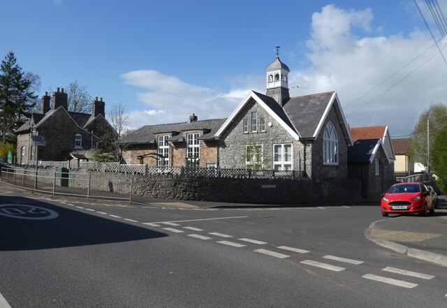
Despite its small size, West End has a strong sense of community and a rich history. The village dates back to medieval times and is home to several historic buildings, including a 14th-century church that stands as a testament to its past. The local architecture reflects the traditional charm of the region, with many stone-built cottages and farmhouses dotting the landscape.
The village is predominantly residential, with a close-knit population of residents who enjoy the peacefulness and natural beauty of the area. Agriculture plays a significant role in the local economy, and the surrounding farmland is used for grazing livestock and growing crops.
While West End is primarily known for its quiet and rural atmosphere, it benefits from its proximity to larger towns and cities. The city of Bath, renowned for its Roman baths and Georgian architecture, is easily accessible, offering residents a range of amenities and cultural attractions.
In summary, West End, Somerset is a charming and historic village nestled in the scenic countryside of Somerset. With its strong sense of community and proximity to larger towns, it offers residents a peaceful and picturesque place to call home.
If you have any feedback on the listing, please let us know in the comments section below.
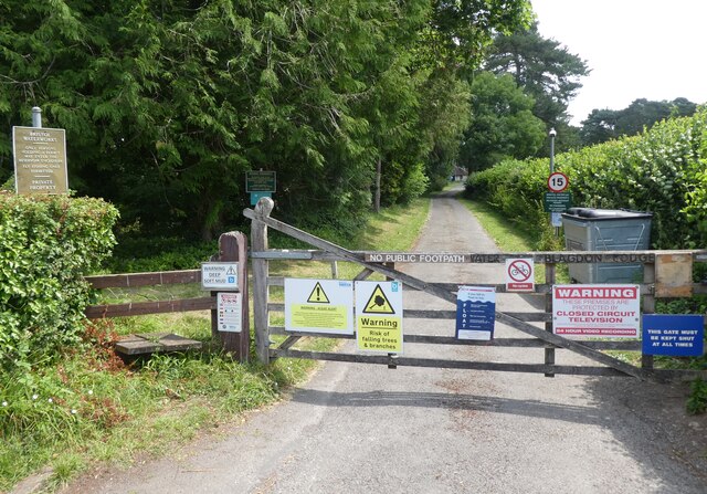
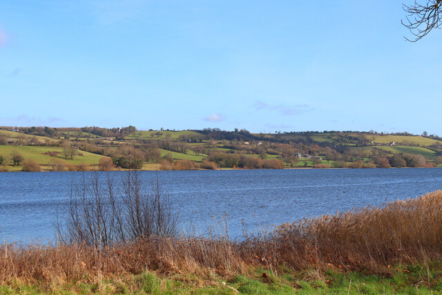
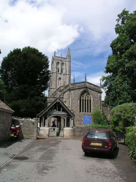
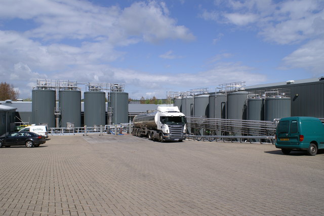
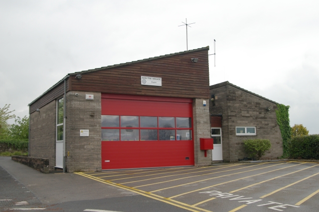
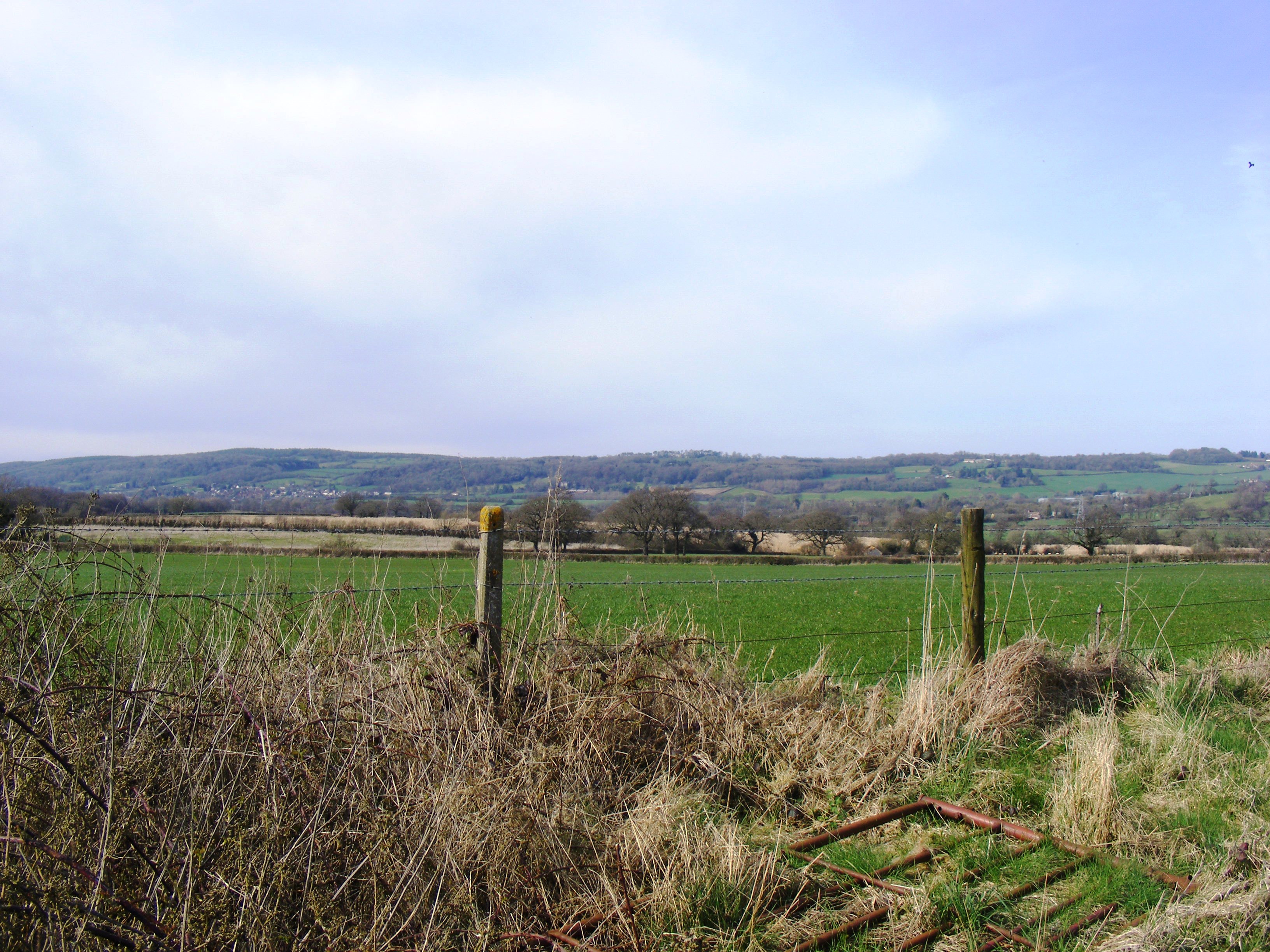
West End Images
Images are sourced within 2km of 51.329411/-2.7170125 or Grid Reference ST5059. Thanks to Geograph Open Source API. All images are credited.
West End is located at Grid Ref: ST5059 (Lat: 51.329411, Lng: -2.7170125)
Unitary Authority: North Somerset
Police Authority: Avon and Somerset
What 3 Words
///fuss.pigtails.inserted. Near Blagdon, Somerset
Nearby Locations
Related Wikis

Blagdon
Blagdon is a village and civil parish in the ceremonial county of Somerset, within the unitary authority of North Somerset, in England. It is located in...

Church of St Andrew, Blagdon
The Anglican Church Of St Andrew in Blagdon, within the English county of Somerset, was built in the 15th century. It is a Grade II* listed building.The...

Blagdon railway station
Blagdon railway station is a closed terminus railway station situated in the village of Blagdon in North Somerset, England. The station opened on the 4...

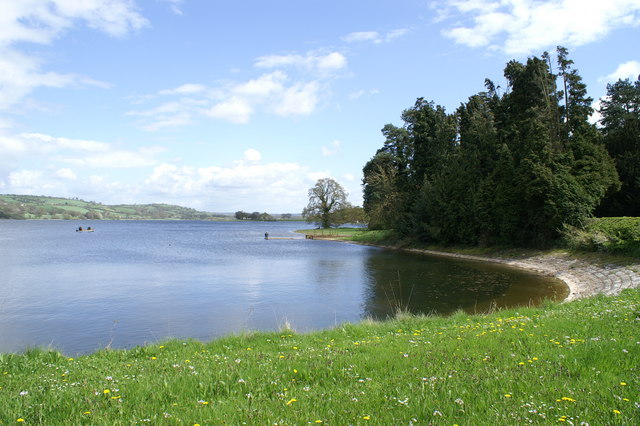
Blagdon Lake
Blagdon Lake lies in a valley at the northern edge of the Mendip Hills, close to the village of Blagdon and approximately 10 miles (16 km) south of Bristol...
Bourne SSSI, Avon
Bourne SSSI, Avon (grid reference ST484600) is an 8.47 hectare geological Site of Special Scientific Interest near the village of Burrington, North Somerset...

Burrington railway station
Burrington railway station served the village of Burrington, North Somerset, England, from 1901 to 1950 on the Wrington Vale Light Railway. == History... ==

Burrington, Somerset
Burrington is a small village and civil parish in Somerset, England. It is situated in the unitary authority of North Somerset, 5 miles (8.0 km) north...

Burrington Camp
Burrington Camp, also known as Burrington Ham, is an Iron Age hill fort in the North Somerset district of Somerset, England. The hill fort is situated...
Nearby Amenities
Located within 500m of 51.329411,-2.7170125Have you been to West End?
Leave your review of West End below (or comments, questions and feedback).