West Allerdean

Settlement in Northumberland

England

West Allerdean

Burn near Allerdean
Burn near Allerdean Credit: Richard Webb

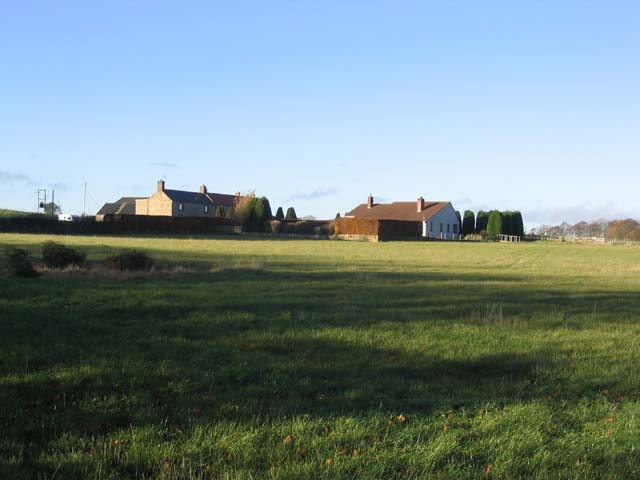
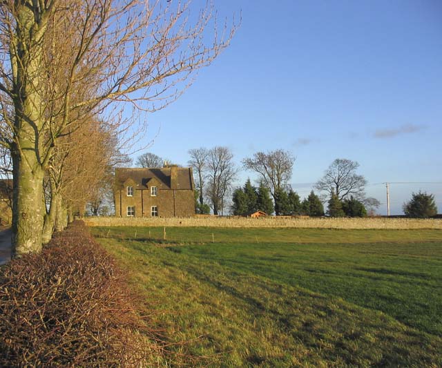
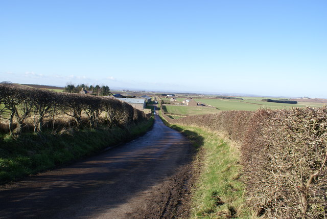
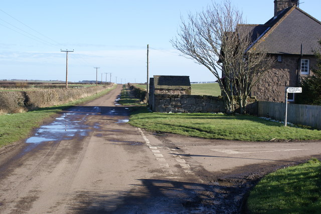
West Allerdean is a small village located in the county of Northumberland, in the northeast of England. Situated near the coast, it lies about 8 miles east of the town of Berwick-upon-Tweed and 4 miles west of the Scottish border. The village is nestled amidst picturesque countryside, offering residents and visitors a tranquil and idyllic setting.

The village itself is relatively small, with a population of around 200 people. It is characterized by its charming stone-built houses and quaint cottages, adding to its overall traditional and rural charm. The community in West Allerdean is tight-knit and friendly, with strong community spirit evident through various local events and activities.

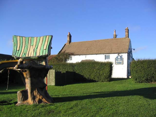
Although small, West Allerdean boasts a few amenities, including a village hall that serves as a hub for social gatherings and recreational activities. The village is also within easy reach of nearby towns and villages, providing access to a wider range of services and amenities.

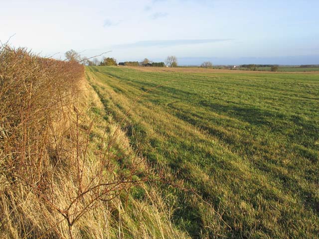
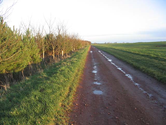
The surrounding area offers a wealth of natural beauty, with the stunning Northumberland coastline just a short distance away. Residents and visitors can enjoy long walks along sandy beaches, explore nature reserves, and take in breathtaking views of the North Sea. The village is also conveniently located near several historical landmarks, including the nearby Holy Island of Lindisfarne and the famous Bamburgh Castle.

Overall, West Allerdean is a delightful village that offers a peaceful and picturesque setting for those seeking a rural lifestyle in Northumberland.

If you have any feedback on the listing, please let us know in the comments section below.

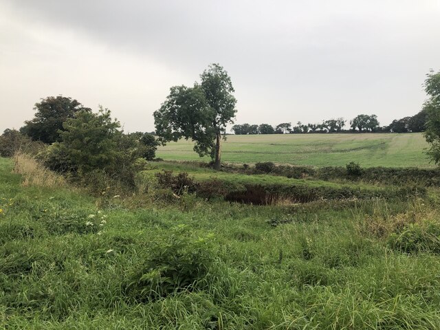
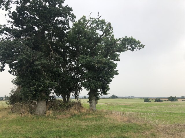
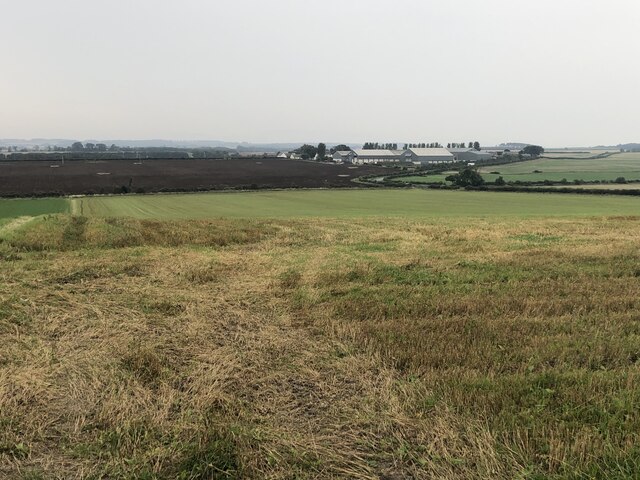
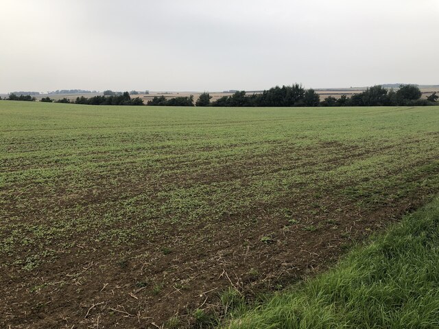
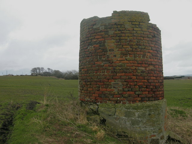
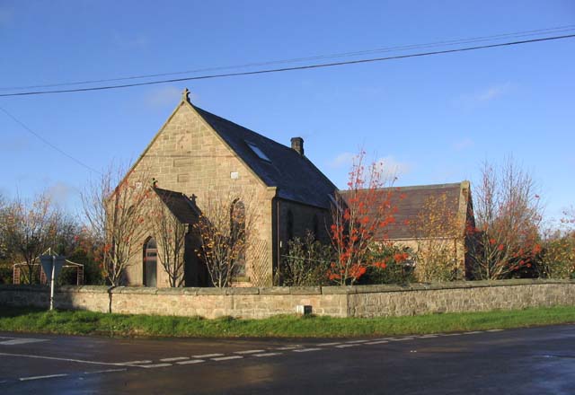
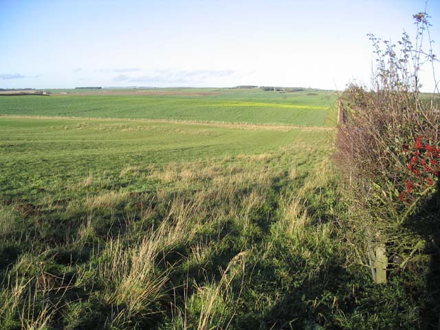
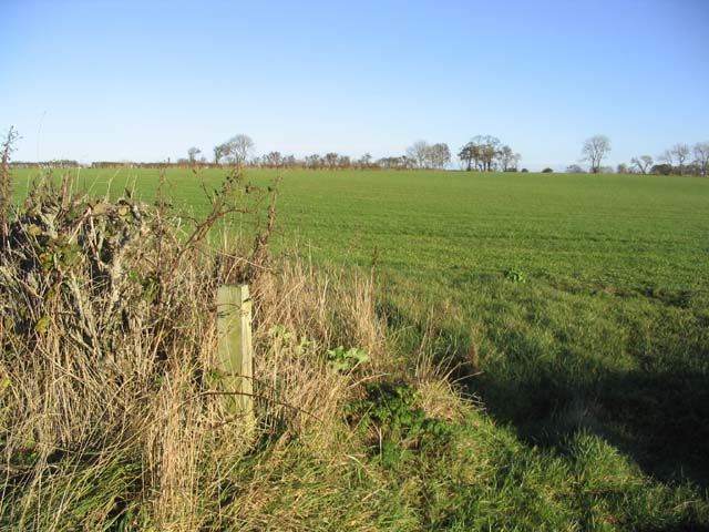
West Allerdean Images

Images are sourced within 2km of 55.712263/-2.0567918 or Grid Reference NT9646. Thanks to Geograph Open Source API. All images are credited.

Burn near Allerdean
Burn near Allerdean
Field, East Allerdean
West Allergen
West Allergen
Winter arable near Miller's Bridge Next year's crop.
Winter arable near Miller's Bridge
Next year's crop.
Chimney Stump, Shoresdean Colliery Remains from Shoresdean Colliery, Northumberland. More information here <span class="nowrap"><a title="http://sine.newcastle.ac.uk/view_structure_information.asp?struct_id=1101" rel="nofollow ugc noopener" href="http://sine.newcastle.ac.uk/view_structure_information.asp?struct_id=1101">Link</a><img style="margin-left:2px;" alt="External link" title="External link - shift click to open in new window" src="https://s1.geograph.org.uk/img/external.png" width="10" height="10"/></span>.
Chimney Stump, Shoresdean Colliery
Remains from Shoresdean Colliery, Northumberland. More information here LinkExternal link.
House at West Allerdean A former church converted into a dwelling house. An inscribed stone on the gable wall reads:-

PM CHURCH
1902
House at West Allerdean
A former church converted into a dwelling house. An inscribed stone on the gable wall reads:- PM CHURCH 1902
Rich farmland at East Allerdean
Pasture field
Pasture field
Houses at Allerdean Greens
The Plough Inn at West Allerdean Viewed from the kiddies play area.
The Plough Inn at West Allerdean
Viewed from the kiddies play area.
Road junction and sign at West Allerdean Looking along the B6354, with the distances on the signpost accurate to within quarter miles.
Road junction and sign at West Allerdean
Looking along the B6354, with the distances on the signpost accurate to within quarter miles.
Ancroft Northmoor farmhouse
Grazing field Near Ancroft Northmoor Farm.
Grazing field
Near Ancroft Northmoor Farm.
Access track In agricultural land to the North of Ancroft Southmoor Farm.
Access track
In agricultural land to the North of Ancroft Southmoor Farm.
Camphouses Junction
Camphouses Junction
Thornton Mains
Thornton Mains
Thornton Junction
Thornton Junction
Thornton Roadsign
Thornton Roadsign
Show me another place!

West Allerdean is located at Grid Ref: NT9646 (Lat: 55.712263, Lng: -2.0567918)

Unitary Authority: Northumberland

Police Authority: Northumbria

What 3 Words

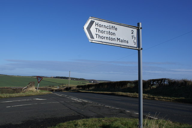
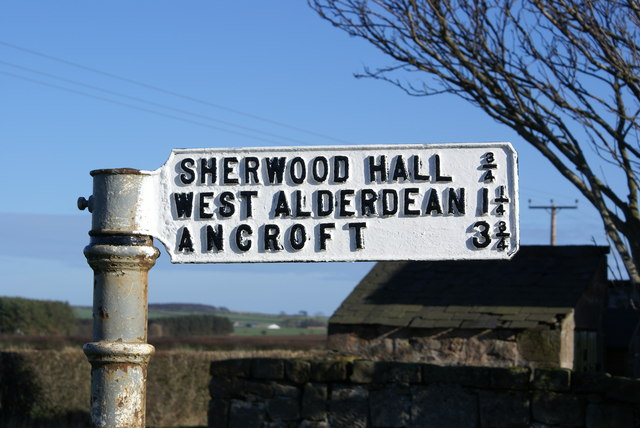
///consults.saving.private. Near Ancroft, Northumberland
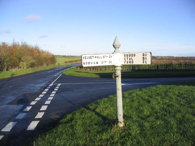
Nearby Locations

West Allerdean

Related Wikis

Ancroft Northmoor

Ancroft Northmoor is a village in Northumberland, England. The population of the Civil Parish taken at the 2011 census was 895. == Governance == Ancroft...

Shoreswood

Shoreswood is a place and civil parish about 6 miles from Berwick-upon-Tweed, in the county of Northumberland, England. The parish includes the hamlets...

Velvet Hall railway station

Velvet Hall railway station was a railway station which served the village of Horncliffe in Northumberland, England. == History == The station opened on...

Longridge Towers School

Longridge Towers School is a non-selective co-educational independent day and boarding school in the parish of Horncliffe (formerly Longridge) near Berwick...

Nearby Amenities

Located within 500m of 55.712263,-2.0567918
West Allerdean
Place: hamlet
Lat/Long: 55.7125033/-2.0558259
Noexit: yes
Lat/Long: 55.7122256/-2.0563933
Post Box
Post Box Type: lamp
Ref: TD15 38
Source: survey
Lat/Long: 55.7123026/-2.0562847
Generator Method: wind_turbine
Generator Output Electricity: yes
Generator Source: wind
Generator Type: horizontal_axis
Power: generator
Lat/Long: 55.711033/-2.0555739
Power: pole
Source: Bing
Lat/Long: 55.7124583/-2.0588905
Power: pole
Source: Bing
Lat/Long: 55.7125474/-2.0603389
Power: pole
Source: Bing
Lat/Long: 55.7126404/-2.0617591
Power: pole
Source: Bing
Lat/Long: 55.7127393/-2.0632008
Power: pole
Source: Bing
Lat/Long: 55.7128338/-2.0646143
Give Way
Direction: backward
Lat/Long: 55.7122956/-2.0568733
Give Way
Direction: backward
Lat/Long: 55.7124406/-2.0564769
The data included in this document is from www.openstreetmap.org. The data is made available under ODbL.

Have you been to West Allerdean?

Leave your review of West Allerdean below (or comments, questions and feedback).