Weensland

Settlement in Roxburghshire

Scotland

Weensland

River Teviot, Hawick Hawick High School on the left.
River Teviot, Hawick Credit: Richard Webb

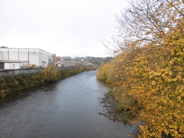
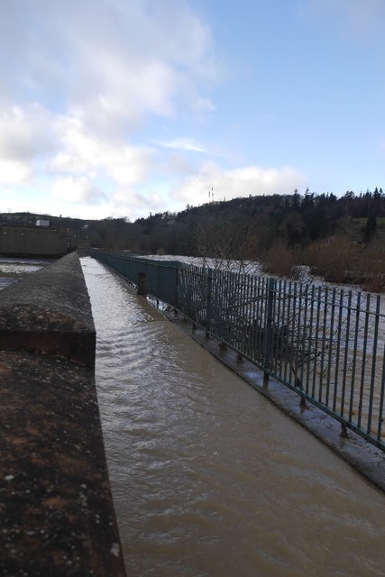
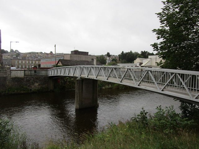
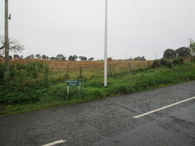
Weensland is a small village located in the county of Roxburghshire in Scotland. Situated along the River Tweed, the village is known for its picturesque countryside and charming rural setting. The village is surrounded by rolling hills and lush green fields, making it a popular destination for outdoor enthusiasts and nature lovers.

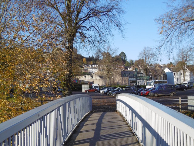
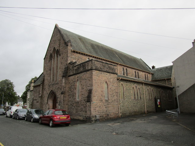
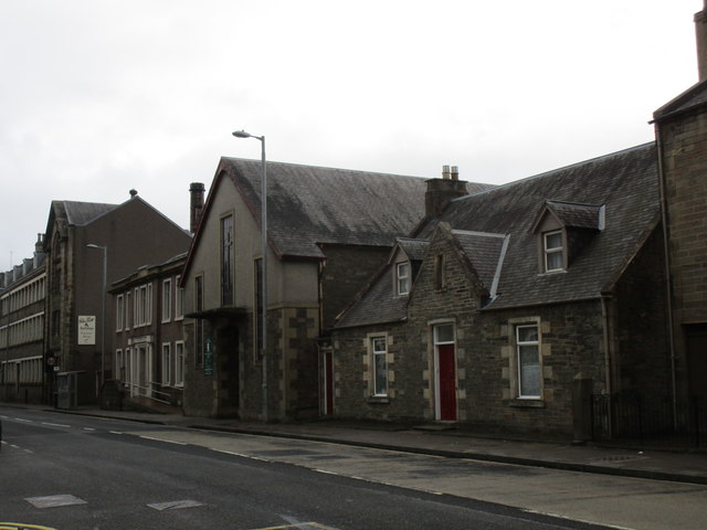
Weensland is home to a close-knit community of residents who take pride in their village and its heritage. The village features traditional stone buildings, a historic church, and a village hall where local events and gatherings are held. There are also a few small shops and businesses in the village, providing essentials for residents and visitors.

The surrounding area offers plenty of opportunities for outdoor activities such as hiking, fishing, and cycling. The nearby River Tweed is a popular spot for fishing enthusiasts, known for its abundance of salmon and trout. Weensland is also located near several historical sites and attractions, including medieval castles and ruins.

Overall, Weensland is a peaceful and idyllic village that offers a quiet retreat from the hustle and bustle of city life.

If you have any feedback on the listing, please let us know in the comments section below.
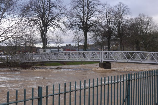
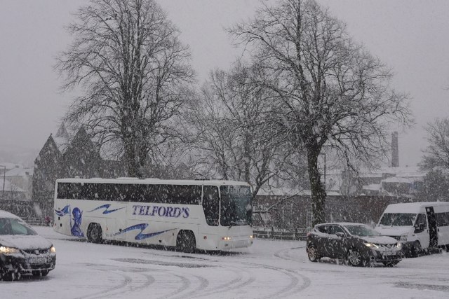
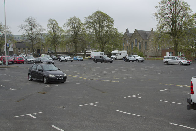
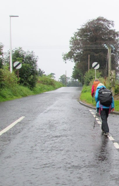
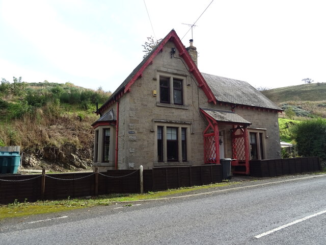
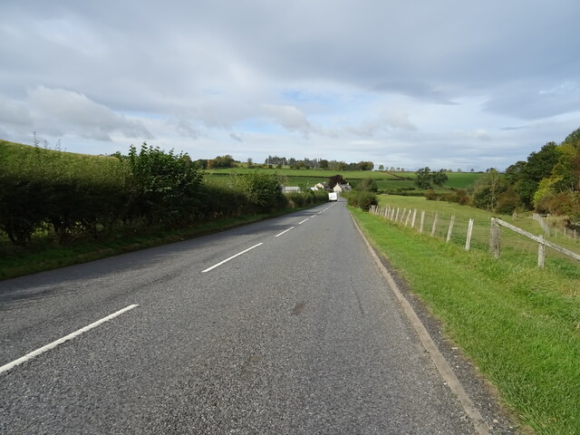
Weensland Images

Images are sourced within 2km of 55.429744/-2.7657238 or Grid Reference NT5115. Thanks to Geograph Open Source API. All images are credited.

River Teviot, Hawick Hawick High School on the left.
River Teviot, Hawick
Hawick High School on the left.
Common Haugh, Hawick The car park was empty as it was closed for line work.
Common Haugh, Hawick
The car park was empty as it was closed for line work.
Lawson Bridge, Hawick A little upstream of its predecessor, it is often used by Hawick High School pupils to get their buses on The Haugh.
Lawson Bridge, Hawick
A little upstream of its predecessor, it is often used by Hawick High School pupils to get their buses on The Haugh.
Flooded path, Hawick A wall gives some protection to Hawick High School as the Teviot rises to the edge of major flooding.
Flooded path, Hawick
A wall gives some protection to Hawick High School as the Teviot rises to the edge of major flooding.
Lawson Bridge, Hawick The river level is dropping after a rapid rise during heavy rain. The Common Haugh had flooded.
Lawson Bridge, Hawick
The river level is dropping after a rapid rise during heavy rain. The Common Haugh had flooded.
Common Haugh, Hawick The school bus for Newcastleton before a fraught journey home.
Common Haugh, Hawick
The school bus for Newcastleton before a fraught journey home.
Haugh Car Park This is an unusual car park in a town, in that there was no charge. There is also, according to the signs, a market held here one day a week.
Haugh Car Park
This is an unusual car park in a town, in that there was no charge. There is also, according to the signs, a market held here one day a week.
Lawson Bridge A footbridge over the River Teviot.
Lawson Bridge
A footbridge over the River Teviot.
Teviot Church, Hawick The former St. George's United Free Church.
The architect was J.P. Alison and the church was built 1913-16.
Teviot Church, Hawick
The former St. George's United Free Church. The architect was J.P. Alison and the church was built 1913-16.
Roman Catholic Church of St. Mary and St. David A modest building which barely stands out among its residential and industrial neighbours.
Roman Catholic Church of St. Mary and St. David
A modest building which barely stands out among its residential and industrial neighbours.
Hawick High School Part of a large complex of buildings.
Hawick High School
Part of a large complex of buildings.
Stirches  Road  meets  countryside After climbing out of Hawick, the first field
Stirches Road meets countryside
After climbing out of Hawick, the first field
Stirches  Road  leaves  Hawick Junction of Guthrie Drive to the right
Stirches Road leaves Hawick
Junction of Guthrie Drive to the right
Flood defence works Near Teviot Church, Hawick
Flood defence works
Near Teviot Church, Hawick
Building the river wall Flood defence work near the Teviot Church in Hawick - part of a £99M project for the town as a whole.
Building the river wall
Flood defence work near the Teviot Church in Hawick - part of a £99M project for the town as a whole.
Lawson footbridge Newly constructed over the River Teviot in Hawick, giving access to Wilton Lodge Park, further downstream.
Lawson footbridge
Newly constructed over the River Teviot in Hawick, giving access to Wilton Lodge Park, further downstream.
West Lodge on the A6088
A6088 towards Hawick
Show me another place!

Weensland is located at Grid Ref: NT5115 (Lat: 55.429744, Lng: -2.7657238)

Unitary Authority: The Scottish Borders

Police Authority: The Lothians and Scottish Borders

What 3 Words

///shepherdess.angel.cheeks. Near Hawick, Scottish Borders

Nearby Locations

Weensland

Related Wikis

Mansfield Park, Hawick

Mansfield Park is a rugby union ground in Hawick, Scotland, with a capacity of approximately 5,000. It is the home of Hawick Rugby Football Club, who currently...

Burnfoot, Hawick

Burnfoot (Scottish Gaelic: Bun na h-Aibhne, Scots: Burnfit) is a housing estate just east of the A7, in the northern part of Hawick, by the Boonraw Burn...

Hawick railway station

Hawick railway station served the town of Hawick, Scottish Borders, Scotland from 1849 to 1969 on the Waverley Route. == History == The first station opened...

Appletreehall

Appletreehall is a village in the Scottish Borders area of Scotland, 2 miles (3 kilometres) north-east of Hawick, in the historic county of Roxburghshire...

Nearby Amenities

Located within 500m of 55.429744,-2.7657238
Bus Stop
Weensland Park
Bus: yes
Naptan AtcoCode: 6900450
Naptan Bearing: SW
Naptan CommonName: Weensland Park
Naptan Indicator: near
Naptan Landmark: Weensland Park
Naptan NaptanCode: 72723268
Naptan Street: Weensland Road
Operator: Scottish Borders Council
Public Transport: platform
Ref: 6900450
Shelter: no
Source: NaPTAN
Lat/Long: 55.4305258/-2.7653776
Bus Stop
Daykins Drive
Bus: yes
Naptan AtcoCode: 6900848
Naptan Bearing: E
Naptan CommonName: Daykins Drive
Naptan Indicator: opp
Naptan Landmark: Daykins Drive
Naptan NaptanCode: 72725967
Naptan Street: Weensland Road
Operator: Scottish Borders Council
Public Transport: platform
Ref: 6900848
Source: NaPTAN
Lat/Long: 55.4323682/-2.7610199
Bus Stop
Daykins Drive
Bus: yes
Naptan AtcoCode: 6900849
Naptan Bearing: SW
Naptan CommonName: Daykins Drive
Naptan Indicator: nr
Naptan Landmark: Daykins Drive
Naptan NaptanCode: 72725965
Naptan Street: Weensland Road
Operator: Scottish Borders Council
Public Transport: platform
Ref: 6900849
Shelter: no
Source: NaPTAN
Lat/Long: 55.4322161/-2.7609063
Bus Stop
Weensland Park
Bench: no
Bus: yes
Naptan AtcoCode: 6900850
Naptan Bearing: E
Naptan CommonName: Weensland Park
Naptan Indicator: opp
Naptan Landmark: Weensland Park
Naptan NaptanCode: 72725972
Naptan Street: Weensland Road
Operator: Scottish Borders Council
Public Transport: platform
Ref: 6900850
Shelter: no
Source: NaPTAN
Tactile Paving: yes
Lat/Long: 55.4306059/-2.7655056
Bus Stop
Oliver Bank
Bus: yes
Naptan AtcoCode: 6900851
Naptan Bearing: E
Naptan CommonName: Oliver Bank
Naptan Indicator: adj
Naptan Landmark: Oliver Park
Naptan NaptanCode: 72725959
Naptan Street: Weensland Road
Operator: Scottish Borders Council
Public Transport: platform
Ref: 6900851
Shelter: no
Source: NaPTAN
Lat/Long: 55.4291539/-2.7706291
Bus Stop
Oliver Park
Bench: no
Bus: yes
Naptan AtcoCode: 6900852
Naptan Bearing: W
Naptan CommonName: Oliver Park
Naptan Indicator: opp
Naptan Landmark: Oliver Park
Naptan NaptanCode: 72725969
Naptan Street: Weensland Road
Operator: Scottish Borders Council
Public Transport: platform
Ref: 6900852
Shelter: yes
Source: NaPTAN
Tactile Paving: yes
Lat/Long: 55.4290646/-2.7705483
Noexit: yes
Lat/Long: 55.4285968/-2.768447
Noexit: yes
Lat/Long: 55.4291662/-2.7687365
Post Box
Brand: Royal Mail
Brand Wikidata: Q638098
Mapillary: 838197603436401
Operator: Royal Mail
Operator Wikidata: Q638098
Post Box Mounting: stone_wall
Post Box Type: wall
Ref: TD9 15
Source: survey
Survey Date: 2020-05-07
Lat/Long: 55.4299634/-2.767351
Premier
Addr City: Hawick
Addr Housename: Bourtree Petrol Station
Addr Postcode: TD9 8LA
Addr Street: Weensland Road
Brand: Premier
Brand Wikidata: Q7240340
Brand Wikipedia: en:Spar (retailer)
Operator: Bourtree Petrol Station
Phone: +44 1450 372800
Shop: convenience
Website: https://www.premier-stores.co.uk/our-stores/weensland
Lat/Long: 55.4322322/-2.7616436
Weensland
Place: suburb
Lat/Long: 55.4288357/-2.7695469
Natural: shrub
Lat/Long: 55.4280644/-2.7662623
Natural: shrub
Lat/Long: 55.4257209/-2.7680594
Natural: shrub
Lat/Long: 55.4257938/-2.7679082
Natural: shrub
Lat/Long: 55.4258668/-2.7677268
Give Way
Lat/Long: 55.4298967/-2.7647853
Noexit: yes
Lat/Long: 55.4276262/-2.7700343
Noexit: yes
Lat/Long: 55.4281018/-2.771537
Noexit: yes
Lat/Long: 55.4280162/-2.7709369
Noexit: yes
Lat/Long: 55.4266206/-2.7707565
Crossing
Lat/Long: 55.429316/-2.7678709
Crossing
Lat/Long: 55.4294679/-2.7671054
Crossing
Lat/Long: 55.4294525/-2.7671524
Generator Method: photovoltaic
Generator Output Electricity: yes
Generator Source: solar
Generator Type: solar_photovoltaic_panel
Power: generator
Lat/Long: 55.4266049/-2.7701184
Generator Method: photovoltaic
Generator Output Electricity: yes
Generator Source: solar
Generator Type: solar_photovoltaic_panel
Power: generator
Lat/Long: 55.4272571/-2.7715467
Generator Method: photovoltaic
Generator Output Electricity: yes
Generator Source: solar
Generator Type: solar_photovoltaic_panel
Power: generator
Lat/Long: 55.4281505/-2.7698717
Generator Method: photovoltaic
Generator Output Electricity: yes
Generator Source: solar
Generator Type: solar_photovoltaic_panel
Power: generator
Lat/Long: 55.4262236/-2.7699333
Generator Method: photovoltaic
Generator Output Electricity: yes
Generator Source: solar
Generator Type: solar_photovoltaic_panel
Power: generator
Lat/Long: 55.4270752/-2.7693084
Generator Method: photovoltaic
Generator Output Electricity: yes
Generator Source: solar
Generator Type: solar_photovoltaic_panel
Power: generator
Lat/Long: 55.4281741/-2.7692588
Generator Method: photovoltaic
Generator Output Electricity: yes
Generator Source: solar
Generator Type: solar_photovoltaic_panel
Power: generator
Lat/Long: 55.428996/-2.7684474
Generator Method: photovoltaic
Generator Output Electricity: yes
Generator Source: solar
Generator Type: solar_photovoltaic_panel
Power: generator
Lat/Long: 55.4289054/-2.7700111
Generator Method: photovoltaic
Generator Output Electricity: yes
Generator Source: solar
Generator Type: solar_photovoltaic_panel
Power: generator
Lat/Long: 55.4288521/-2.7703008
Events Venue
Mansfield Park Events
Addr City: Hawick
Addr Housename: Mansfield Park
Addr Postcode: TD9 8AW
Addr Street: Mansfield Road
Phone: +44 1450 390900
Website: https://www.mansfieldpark.co.uk/
Lat/Long: 55.4319704/-2.7676406
Barrier: cycle_barrier
Lat/Long: 55.429869/-2.7722057
Noexit: yes
Lat/Long: 55.4313776/-2.7623249
Scott & Son Automotive
Addr City: Hawick
Addr Postcode: TD9 8LA
Addr Street: Weensland Road
Email: info@scottandsonautomotive.co.uk
Phone: +44 1450 218050
Service Vehicle Air Conditioning: yes
Service Vehicle Body Repair: yes
Service Vehicle Brakes: yes
Service Vehicle Breakdown Recovery: yes
Service Vehicle Car Repair: yes
Service Vehicle Diagnostics: yes
Service Vehicle Inspection: yes
Service Vehicle Muffler: yes
Service Vehicle Oil Change: yes
Service Vehicle Repairs: yes
Service Vehicle Tyres: yes
Service Vehicle Wheels: yes
Shop: car_repair
Website: https://www.scottandsonautomotive.co.uk/
Lat/Long: 55.4324947/-2.7609537
Give Way
Direction: forward
Lat/Long: 55.4334702/-2.767141
The data included in this document is from www.openstreetmap.org. The data is made available under ODbL.

Have you been to Weensland?

Leave your review of Weensland below (or comments, questions and feedback).