Week

Settlement in Devon North Devon

England

Week

Sheeps Acre
Sheeps Acre Credit: Roger Cornfoot

Week, Devon is a small village located in the county of Devon, England. Situated approximately 4 miles north of the town of Barnstaple, Week is nestled in the picturesque North Devon countryside. The village is part of the North Devon District and lies within the South West region of England.

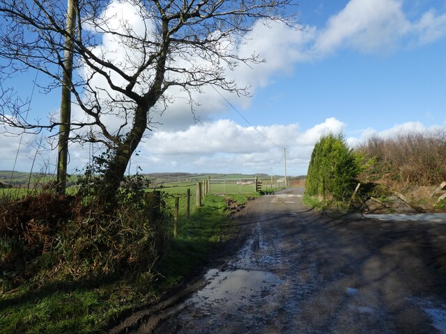
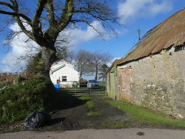
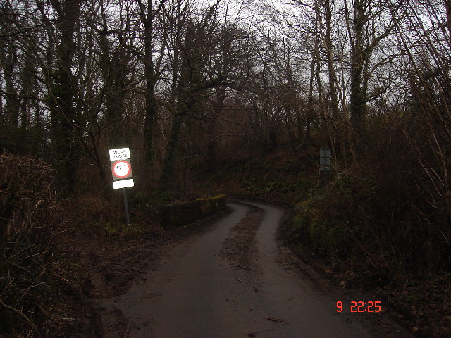
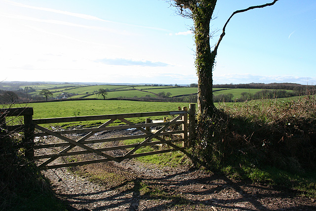
Week is a charming and tranquil village known for its rural beauty and traditional English character. The landscape surrounding the village is mostly composed of rolling hills, lush green fields, and meandering streams, providing a peaceful and idyllic setting for residents and visitors alike.

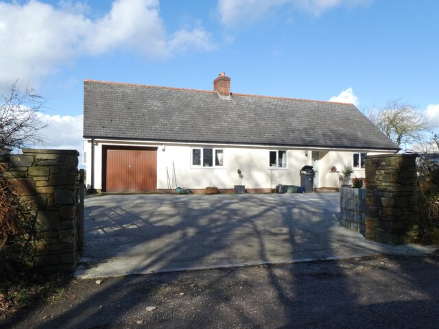
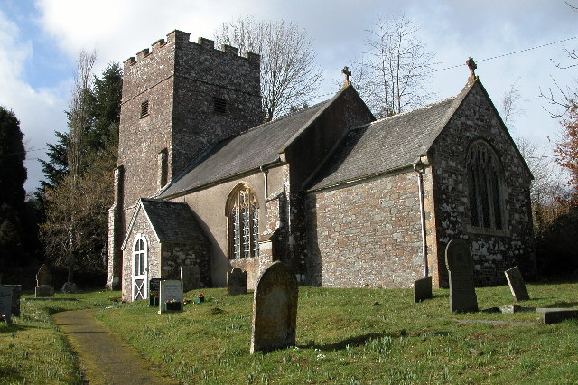
Although small in size, Week has a close-knit community that takes pride in maintaining the village's heritage. The architecture in Week reflects its rich history, with many traditional cottages and buildings still standing. The village church, St. Mary's, is a notable landmark, dating back to the 15th century and showcasing beautiful stained glass windows.

Outdoor enthusiasts will appreciate the natural beauty that surrounds Week, as there are several walking and hiking trails in the area. The nearby Taw River offers opportunities for fishing and boating, while the stunning North Devon coastline, including popular spots such as Saunton Sands and Croyde Bay, is just a short drive away.

Despite its rural setting, Week benefits from its proximity to Barnstaple, where residents can access a range of amenities, including shops, restaurants, schools, and healthcare facilities.

In summary, Week, Devon is a charming and picturesque village that offers a peaceful countryside lifestyle while still providing easy access to nearby urban amenities.

If you have any feedback on the listing, please let us know in the comments section below.
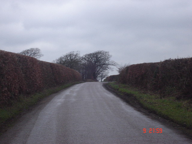
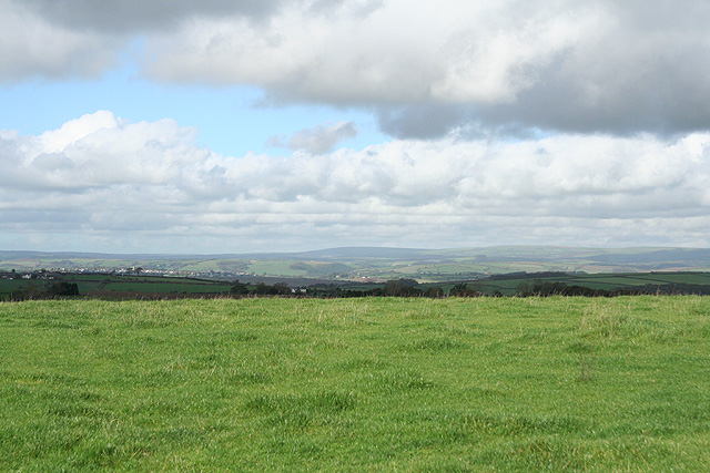
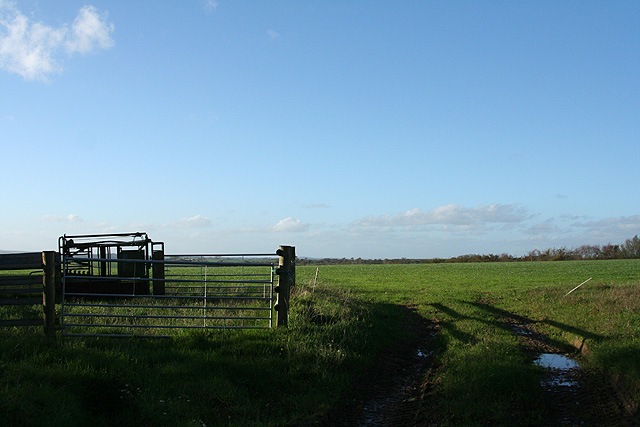
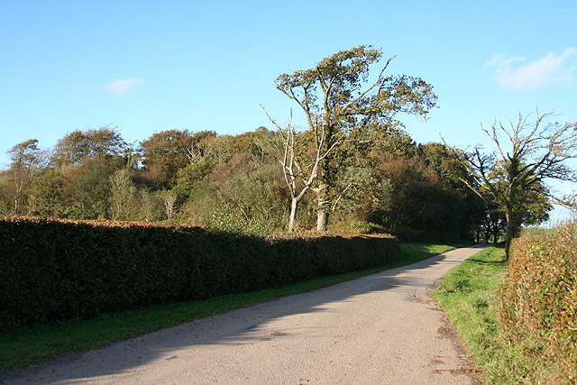
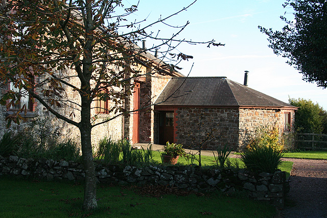
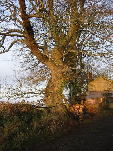
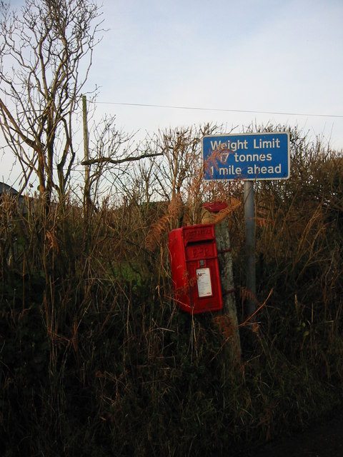
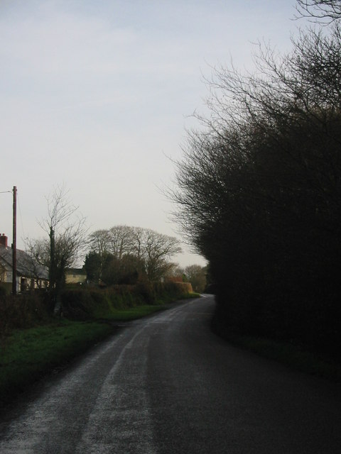
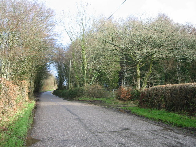
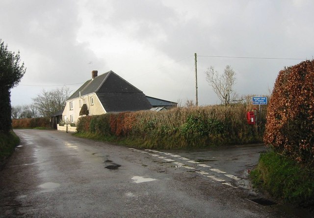
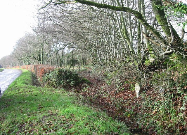
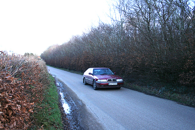
Week Images

Images are sourced within 2km of 50.935911/-3.7993989 or Grid Reference SS7316. Thanks to Geograph Open Source API. All images are credited.

Sheeps Acre
Sheeps Acre
Track to Sheepsbyre
Track to Sheepsbyre
Sheepsbyre Cottage
Sheepsbyre Cottage
Weak bridge, Week Bridge over Huntacott Water, a normally placid but occasionally raging waterway.
One of many small rivers to cut small, deep valleys into the North Devon plateau.
Weak bridge, Week
Bridge over Huntacott Water, a normally placid but occasionally raging waterway. One of many small rivers to cut small, deep valleys into the North Devon plateau.
Hedges at Benley Cross Very much Exmoor style of beech hedges either side of the road.   Retain much of their leaves and give some shelter even in January.
Hedges at Benley Cross
Very much Exmoor style of beech hedges either side of the road. Retain much of their leaves and give some shelter even in January.
Romansleigh: near Higher Thornham Looking south-south-east
Romansleigh: near Higher Thornham
Looking south-south-east
Romansleigh: towards South Molton Looking north with Exmoor on the skyline
Romansleigh: towards South Molton
Looking north with Exmoor on the skyline
Chulmleigh: Dodyard Moor Looking west-north-west on an October afternoon
Chulmleigh: Dodyard Moor
Looking west-north-west on an October afternoon
Chulmleigh: wood on Bycott Moor Looking north-north-west by the entrance to Bycott Farm on the lane between Challacombe and Three Corner Cross
Chulmleigh: wood on Bycott Moor
Looking north-north-west by the entrance to Bycott Farm on the lane between Challacombe and Three Corner Cross
East Worlington: Bealy Court Farm buildings here have been converted to holiday cottages. Looking south-south-east to a barn and its single storey horse-engine house or roundhouse. Which suggests that the building on the left was probably a threshing barn at one time. Both buildings are now residential
East Worlington: Bealy Court
Farm buildings here have been converted to holiday cottages. Looking south-south-east to a barn and its single storey horse-engine house or roundhouse. Which suggests that the building on the left was probably a threshing barn at one time. Both buildings are now residential
Winter sunshine on beech trees, Little Sheepsbyre.  Beech trees on hedgebank at Little Sheepsbyre dwarf the cottage.
Winter sunshine on beech trees, Little Sheepsbyre.
Beech trees on hedgebank at Little Sheepsbyre dwarf the cottage.
Post box at Molland Cross. Serving a few scattered households in this very rural community, this little postbox is tucked away in the hedge at Molland Cross.
Post box at Molland Cross.
Serving a few scattered households in this very rural community, this little postbox is tucked away in the hedge at Molland Cross.
Looking towards Little Sheepsbyre. Photo taken on the road between Stone Moor Cross and Cheldon Cross.
Looking towards Little Sheepsbyre.
Photo taken on the road between Stone Moor Cross and Cheldon Cross.
Lutworthy Moor Plantations The road towards Mouseberry Cross narrows between the trees, with Lutworthy Moor Plantations on the right of the photo.
Lutworthy Moor Plantations
The road towards Mouseberry Cross narrows between the trees, with Lutworthy Moor Plantations on the right of the photo.
Molland Cross Molland Cross showing the farm and a postbox on the junction.
Molland Cross
Molland Cross showing the farm and a postbox on the junction.
Hedgerows by entrance to Broadsmoor Farm Winter light on roadside hedgerows. Narrow strips of ground alongside the old drovers routes are common in the area.
Hedgerows by entrance to Broadsmoor Farm
Winter light on roadside hedgerows. Narrow strips of ground alongside the old drovers routes are common in the area.
Chulmleigh: by Stone Moor Cross Looking east on the road to Cheldon Cross
Chulmleigh: by Stone Moor Cross
Looking east on the road to Cheldon Cross
Cheldon: Mounticombe Moors Looking south west towards Mounticombe
Cheldon: Mounticombe Moors
Looking south west towards Mounticombe
Show me another place!

Week is located at Grid Ref: SS7316 (Lat: 50.935911, Lng: -3.7993989)

Administrative County: Devon

District: North Devon

Police Authority: Devon and Cornwall

What 3 Words

///polices.decompose.gliding. Near Chulmleigh, Devon

Related Wikis

Week, Devon

Week is a small village in the civil parish of Chulmleigh, in the North Devon district of Devon, England. Its nearest town is Chulmleigh, which lies approximately...

Cheldon

Cheldon is a village and former civil parish, 17 miles (27 km) north-west of Exeter, now in the parish of Chulmleigh, in the North Devon district, in the...

Affeton Castle

Affeton Castle is a converted late-medieval gatehouse near East Worlington, Devon, England. It was formerly part of the fortified manor house of Affeton...

Meshaw

Meshaw is a village and civil parish in the North Devon district of Devon, England. Its nearest town is South Molton, which lies approximately 5.9 miles...

Nearby Amenities

Located within 500m of 50.935911,-3.7993989
Week
Is In: Devon, England, UK
Place: hamlet
Wikidata: Q7979386
Lat/Long: 50.9372861/-3.8011184
Generator Method: photovoltaic
Generator Output Electricity: yes
Generator Source: solar
Generator Type: solar_photovoltaic_panel
Location: roof
Power: generator
Lat/Long: 50.9366839/-3.8054779
Generator Method: photovoltaic
Generator Output Electricity: yes
Generator Source: solar
Generator Type: solar_photovoltaic_panel
Location: roof
Power: generator
Lat/Long: 50.9377378/-3.794855
Power: pole
Source: bing
Transformer: distribution
Lat/Long: 50.9370291/-3.8029991
Power: pole
Source: bing
Lat/Long: 50.936455/-3.8018842
Power: pole
Source: bing
Transformer: distribution
Lat/Long: 50.9323092/-3.7998625
Power: pole
Source: bing
Lat/Long: 50.933011/-3.799038
Power: pole
Source: bing
Lat/Long: 50.9336813/-3.7982399
Power: pole
Source: bing
Lat/Long: 50.9358762/-3.800734
Power: pole
Source: bing
Lat/Long: 50.9355203/-3.8000283
Power: pole
Source: bing
Lat/Long: 50.9354158/-3.7991495
Power: pole
Source: bing
Lat/Long: 50.9352864/-3.7980844
Power: pole
Source: bing
Lat/Long: 50.9344589/-3.7973215
Power: pole
Source: bing
Lat/Long: 50.9351024/-3.7965249
Power: pole
Source: bing
Lat/Long: 50.9356617/-3.7962388
Power: pole
Source: bing
Lat/Long: 50.9360584/-3.796007
Power: pole
Source: bing
Transformer: distribution
Lat/Long: 50.9368849/-3.7952984
Power: pole
Source: bing
Lat/Long: 50.9349498/-3.7952368
Power: pole
Source: bing
Lat/Long: 50.9348038/-3.794025
Power: pole
Source: bing
Lat/Long: 50.9341381/-3.7930054
The data included in this document is from www.openstreetmap.org. The data is made available under ODbL.

Have you been to Week?

Leave your review of Week below (or comments, questions and feedback).