Upper Kingston

Settlement in Hampshire New Forest

England

Upper Kingston

Christchurch Road, Ringwood Christchurch Road forms part of the route of the B3347 as it heads out of the town of Ringwood.
Christchurch Road, Ringwood Credit: Malc McDonald

Upper Kingston is a small village located in the county of Hampshire, England. Situated approximately three miles east of the bustling town of Winchester, it is nestled within the scenic South Downs National Park. The village is known for its picturesque setting and tranquil atmosphere, making it an ideal place for those seeking a peaceful retreat.

The history of Upper Kingston dates back several centuries, with evidence of settlements in the area dating as far back as the Iron Age. Today, it retains much of its historic charm, with a number of well-preserved buildings and landmarks that showcase its rich heritage.

The village is home to a close-knit community, with a population of around 500 residents. The primary focal point of the village is the quaint St. Mary's Church, a Grade II listed building that serves as a significant landmark and a place of worship for the locals.

While Upper Kingston is primarily a residential area, it offers a range of amenities to cater to the needs of its residents. These include a local convenience store, a village hall, and a primary school, providing essential services and fostering community engagement.

Surrounded by rolling hills and verdant countryside, Upper Kingston offers ample opportunities for outdoor activities and exploration. The area is popular among hikers, with numerous scenic trails that wind through the picturesque landscape. Additionally, the village is well-connected to nearby towns and cities, making it easily accessible for those commuting or looking to explore the wider region.

Overall, Upper Kingston, Hampshire, is a charming village that offers a peaceful and idyllic lifestyle, coupled with a strong sense of community and a rich historical backdrop.

If you have any feedback on the listing, please let us know in the comments section below.

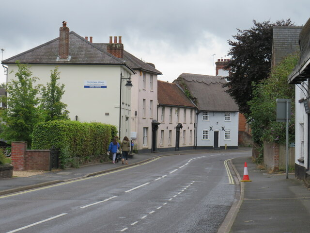
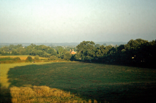
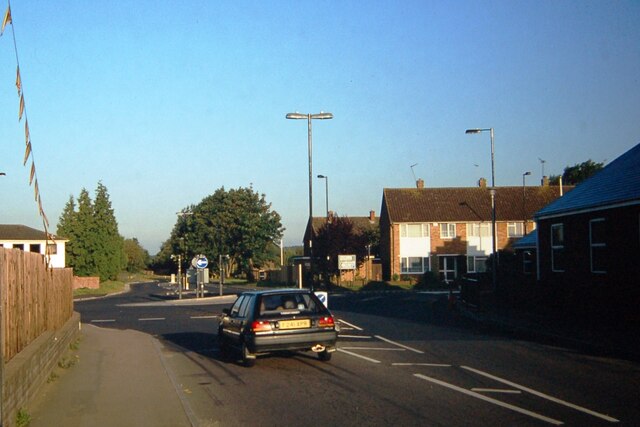
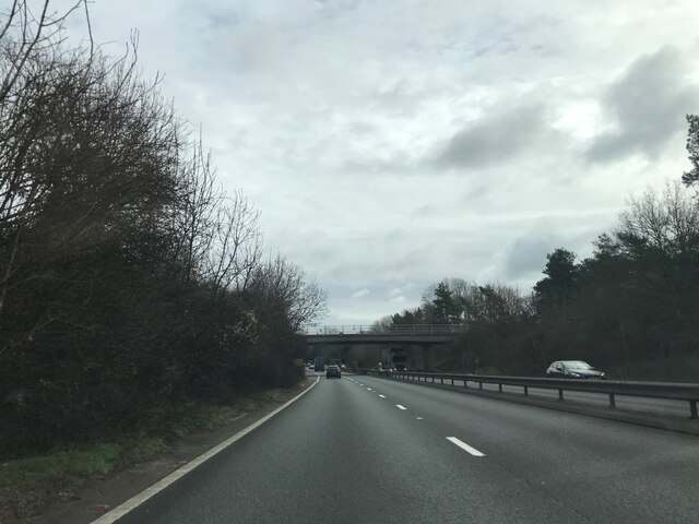
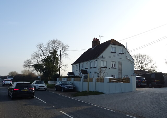
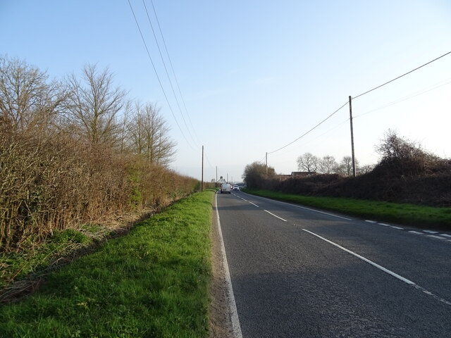
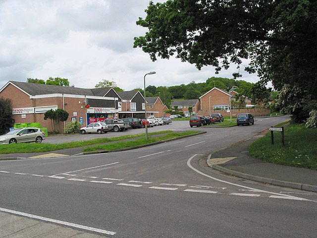
Upper Kingston Images

Images are sourced within 2km of 50.831445/-1.7688816 or Grid Reference SU1603. Thanks to Geograph Open Source API. All images are credited.

Christchurch Road, Ringwood Christchurch Road forms part of the route of the B3347 as it heads out of the town of Ringwood.
Christchurch Road, Ringwood
Christchurch Road forms part of the route of the B3347 as it heads out of the town of Ringwood.
Salvation Army, Ringwood The Salvation Army church in Ringwood, photographed on a damp and gloomy day in August 2021.
Salvation Army, Ringwood
The Salvation Army church in Ringwood, photographed on a damp and gloomy day in August 2021.
Crow Arch This bridge, known as 'Crow Arch' on the old LSWR 'Castleman's Corkscrew' line near Ringwood is approached by a steeply sloping road on either side - not for the faint-hearted when riding a bike!  Immediately past the bridge, the railway entered Ringwood Goods Yard before reaching the station.
Crow Arch
This bridge, known as 'Crow Arch' on the old LSWR 'Castleman's Corkscrew' line near Ringwood is approached by a steeply sloping road on either side - not for the faint-hearted when riding a bike! Immediately past the bridge, the railway entered Ringwood Goods Yard before reaching the station.
View from Charles Copse over Crow The house in the centre of the picture is the photographer's boyhood home, in Barrack Lane.  The bushes in the left centre are where the railway line from Brockenhurst to Ringwood passed.  Behind the trees in the centre is the site of No. 14 Crossing, the keeper's cottage now a pleasant bungalow.
View from Charles Copse over Crow
The house in the centre of the picture is the photographer's boyhood home, in Barrack Lane. The bushes in the left centre are where the railway line from Brockenhurst to Ringwood passed. Behind the trees in the centre is the site of No. 14 Crossing, the keeper's cottage now a pleasant bungalow.
Old railway bridge at Bagnum The abutments of the old railway underbridge at Bagnum still exist but the steel deck was removed when the track was dismantled in the 1960's.  Charles Lane passes through on its way to Charles Farm at the top of the hill and onwards towards Burley.
Old railway bridge at Bagnum
The abutments of the old railway underbridge at Bagnum still exist but the steel deck was removed when the track was dismantled in the 1960's. Charles Lane passes through on its way to Charles Farm at the top of the hill and onwards towards Burley.
Castleman Way The roundabout marks the junction of Castleman Way and Christchurch Road.  Castleman Way is built on the trackbed of the old LSWR main line from Southampton to Dorchester ('Castleman's Corkscrew').  Castleman was a local solicitor who was prominent in the building of the Southampton and Dorchester Railway and later became Chairman of the London and South Western Railway.  There was a level crossing here with a signal box on the right opposite the car.  Long traffic delays used to result when there were shunting movements around Ringwood Station, which was behind the camera position.
Castleman Way
The roundabout marks the junction of Castleman Way and Christchurch Road. Castleman Way is built on the trackbed of the old LSWR main line from Southampton to Dorchester ('Castleman's Corkscrew'). Castleman was a local solicitor who was prominent in the building of the Southampton and Dorchester Railway and later became Chairman of the London and South Western Railway. There was a level crossing here with a signal box on the right opposite the car. Long traffic delays used to result when there were shunting movements around Ringwood Station, which was behind the camera position.
Roadbridge - A31 northbound
Cottages on Christchurch Road
Christchurch Road (B3347) towards Ringwood
Grazing off Christchurch Road
Christchurch Road (B3347) towards Ringwood
Entering Ringwood on the B3347
Moortown Lodge B&B
Moortown Lodge B&B
Elizabeth II postbox on Christchurch Road Postbox No. BH24 20.
Elizabeth II postbox on Christchurch Road
Postbox No. BH24 20.
Houses on Christchurch Road
Lidl supermarket, Ringwood
National Cycle Network Route 256 On disused railway.
National Cycle Network Route 256
On disused railway.
The Lamb Inn
The Lamb Inn
Show me another place!

Upper Kingston is located at Grid Ref: SU1603 (Lat: 50.831445, Lng: -1.7688816)

Administrative County: Hampshire

District: New Forest

Police Authority: Hampshire

What 3 Words

///wolves.scorch.snappy. Near Ringwood, Hampshire

Nearby Locations

Crow Upper Kingston

Related Wikis

Ringwood Town F.C.

Ringwood Town F.C. is a football club based in Ringwood, Hampshire, England. The club is affiliated to the Hampshire Football Association, and is a FA...

Crow, Hampshire

Crow is a small village situated in the New Forest National Park in Hampshire, England. Its nearest town is Ringwood, which lies approximately 1 mile...

Bagnum

Bagnum is a hamlet in the English county of Hampshire. The settlement is within the civil parish of Ringwood (where the 2011 Census was included), and...

Hightown, Hampshire

Hightown is a village in the New Forest district of Hampshire, England. Its nearest town is Ringwood, which lies approximately 0.8 miles (1.3 km) north...

Ringwood railway station

Ringwood is a closed railway station in the county of Hampshire, England which served the town of Ringwood. It lay on the former Southampton and Dorchester...

RAF Bisterne

Royal Air Force Bisterne or more simply RAF Bisterne is a former Royal Air Force Advanced Landing Ground in Hampshire, England. The airfield is located...

Sandford, Hampshire

Sandford is a small hamlet in the New Forest National Park of Hampshire, England. The nearest town to Sandford is Ringwood, which is approximately 2.6...

Poulner

Poulner (/'paʊnə/) is a small village in the civil parish of Ringwood in the New Forest district, in Hampshire, England, although its northern fringe lies...

Nearby Amenities

Located within 500m of 50.831445,-1.7688816
Barrier: stile
Lat/Long: 50.8285826/-1.7726772
Barrier: stile
Lat/Long: 50.8303919/-1.7734076
Barrier: stile
Lat/Long: 50.8279892/-1.7689366
Barrier: stile
Lat/Long: 50.8279962/-1.7690183
Bus Stop
Crow Crossroads
Bench: no
Bin: no
Bus: yes
Naptan AtcoCode: 1900HA081123
Naptan Bearing: E
Naptan CommonName: Crow Crossroads
Naptan NaptanCode: hamadmta
Naptan Street: Moortown Lane
Naptan Verified: no
Public Transport: platform
Shelter: no
Source: naptan_import
Tactile Paving: no
Lat/Long: 50.8348722/-1.7698188
Bus Stop
Crow Crossroads
Bench: no
Bin: no
Bus: yes
Naptan AtcoCode: 1900HA081124
Naptan Bearing: S
Naptan CommonName: Crow Crossroads
Naptan NaptanCode: hamadmtg
Naptan Street: Moortown Lane
Naptan Verified: no
Public Transport: platform
Shelter: no
Source: naptan_import
Tactile Paving: no
Lat/Long: 50.8350008/-1.7697446
Post Box
Collection Plate: CP7
Collection Times: Mo-Fr 12:00; Sa 09:00
Operator: Royal Mail
Operator Wikidata: Q638098
Post Box Type: lamp
Ref: BH24 29
Royal Cypher: EIIR
Royal Cypher Wikidata: Q33102113
Lat/Long: 50.8350953/-1.7698232
Cafe
Crow Farm Shop Coffee Shop
Cuisine: coffee_shop
Lat/Long: 50.8356865/-1.7706709
Crow Farm Shop
Addr Postcode: BH24 3EA
Addr Street: Crow Lane
Shop: farm
Website: https://crowfarmshop.co.uk/
Lat/Long: 50.8354293/-1.7701997
Power: pole
Source: bing
Lat/Long: 50.8328075/-1.76313
Upper Kingston
Place: hamlet
Lat/Long: 50.8298898/-1.7725505
Power: pole
Source: bing
Lat/Long: 50.8353578/-1.7714649
Power: pole
Source: bing
Lat/Long: 50.8346802/-1.7711028
Power: pole
Source: bing
Lat/Long: 50.8333863/-1.7716907
Power: pole
Source: bing
Lat/Long: 50.8324391/-1.772338
Power: pole
Source: bing
Lat/Long: 50.8318512/-1.772747
Power: pole
Source: bing
Lat/Long: 50.8344532/-1.7709366
Addr Housename: Brook Cottage
Addr Street: Ringwood Road
Lat/Long: 50.8329508/-1.7688123
Letters and Logos
Addr Postcode: BH24 3EA
Addr Street: Crow Lane
Craft: signmaker
Website: https://www.lettersandlogos.co.uk/
Lat/Long: 50.8353446/-1.7701851
Defibrillator
Access: yes
Emergency: defibrillator
Indoor: no
Lat/Long: 50.8354591/-1.7701573
Entrance: main
Lat/Long: 50.8354396/-1.770153
Ford: yes
Lat/Long: 50.8349487/-1.7679788
The data included in this document is from www.openstreetmap.org. The data is made available under ODbL.

Have you been to Upper Kingston?

Leave your review of Upper Kingston below (or comments, questions and feedback).