Meadowfield

Settlement in Durham

England

Meadowfield

Detached house beside Browney Lane The road is Browney Lane, the B6300. The detached house is one of a number of recently built properties just outside the village of Meadowfield. At the left side of the image is a road sign in the blue and yellow colours found typically in County Durham.
Detached house beside Browney Lane Credit: Trevor Littlewood

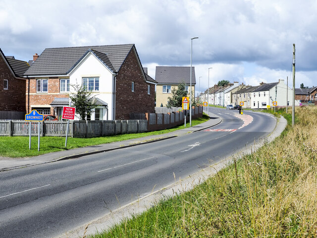
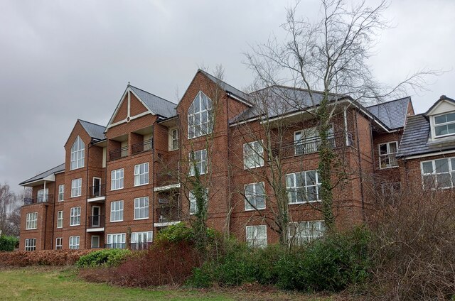
Meadowfield is a small village located in County Durham, England. Situated approximately 4 miles southwest of Durham city center, it falls within the parish of Brandon and Byshottles. The village is primarily residential, with a population of around 3,000 people.

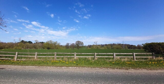
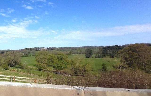
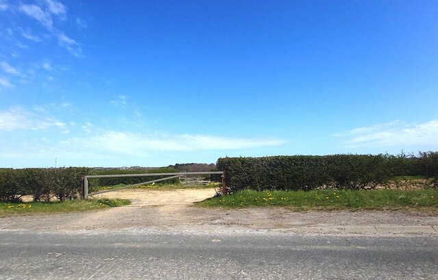
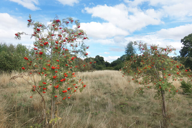
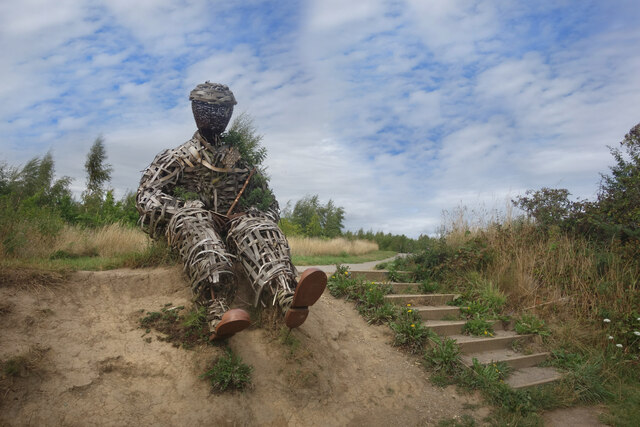
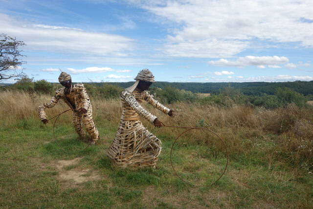
Meadowfield is known for its picturesque countryside and charming rural setting. The village is surrounded by green fields, meadows, and woodland, providing residents with a peaceful and tranquil environment. The area is popular among nature enthusiasts, offering ample opportunities for outdoor activities such as walking, cycling, and bird watching.

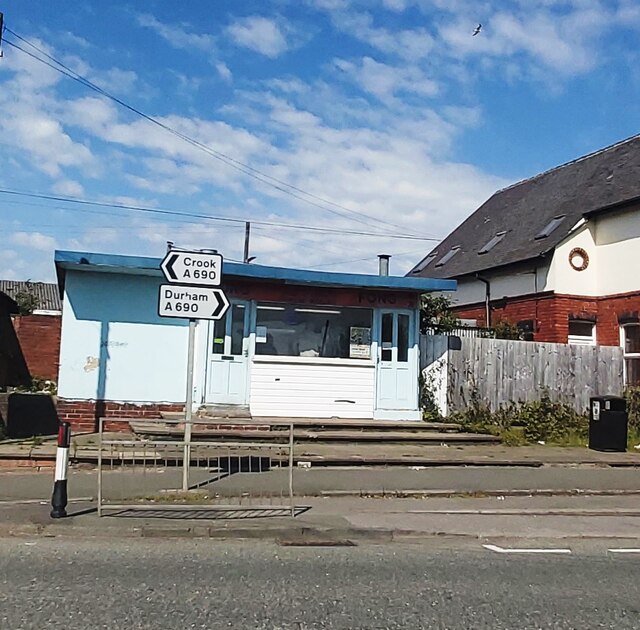
Despite its rural character, Meadowfield benefits from good transport links. The village is situated near the A690 road, which connects it to Durham and neighboring towns. Regular bus services also operate in the area, providing convenient access to nearby amenities and attractions.

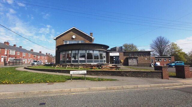
Facilities in Meadowfield include a primary school, a community center, a church, and a local convenience store. The village boasts a strong sense of community, with various social events and activities taking place throughout the year. Residents can also enjoy a range of amenities in nearby Durham, including shops, restaurants, and leisure facilities.

Overall, Meadowfield offers a peaceful and idyllic living environment, combining the tranquility of rural life with the convenience of nearby amenities and transport connections. The village's natural beauty and strong community spirit make it an attractive place to call home.

If you have any feedback on the listing, please let us know in the comments section below.

Meadowfield Images

Images are sourced within 2km of 54.749012/-1.602872 or Grid Reference NZ2539. Thanks to Geograph Open Source API. All images are credited.

Detached house beside Browney Lane The road is Browney Lane, the B6300. The detached house is one of a number of recently built properties just outside the village of Meadowfield. At the left side of the image is a road sign in the blue and yellow colours found typically in County Durham.
Detached house beside Browney Lane
The road is Browney Lane, the B6300. The detached house is one of a number of recently built properties just outside the village of Meadowfield. At the left side of the image is a road sign in the blue and yellow colours found typically in County Durham.
Fields by the B6300
Fields by the B6300
Towards the River Browney from Burnigill
Track off Browney Lane
Meadowfield and District Social Club and Institute
Tung Fong Chinese Takeaway - Meadowfield
Sunderland [old] Bridge The bolt benchmark is cut into the eastern parapet of the old bridge.
Sunderland [old] Bridge
The bolt benchmark is cut into the eastern parapet of the old bridge.
Sunderland [old] Bridge There is a bolt benchmark cut into the second course of stone on the eastern parapet of the old bridge.
Sunderland [old] Bridge
There is a bolt benchmark cut into the second course of stone on the eastern parapet of the old bridge.
Croxdale viaduct The benchmark is cut into a buttress which supports the Croxdale viaduct. It is on the east side of the River Wear.
Croxdale viaduct
The benchmark is cut into a buttress which supports the Croxdale viaduct. It is on the east side of the River Wear.
Croxdale Viaduct There is a benchmark cut into the south-west face of this buttress which supports the Croxdale viaduct. It is on the east side of the River Wear.
Croxdale Viaduct
There is a benchmark cut into the south-west face of this buttress which supports the Croxdale viaduct. It is on the east side of the River Wear.
Stone Spiral in Gary's Wood Gary's Wood is part of the Woodland Trust land at Lower Burnhall, a relatively new woodland area with extensive footpath access. It has various sculptures and stone features at intervals along the tracks.
Stone Spiral in Gary's Wood
Gary's Wood is part of the Woodland Trust land at Lower Burnhall, a relatively new woodland area with extensive footpath access. It has various sculptures and stone features at intervals along the tracks.
Rowan Trees, Low Burnhall Low Burnhall is a fairly recently established bit of forest managed by the Woodland Trust.
Rowan Trees, Low Burnhall
Low Burnhall is a fairly recently established bit of forest managed by the Woodland Trust.
Wicker Man, Low Burnhall A wickerwork figure of a miner sits beside a path in Low Burnhall Wood. There are several sculptures and features at intervals around the wood.
Wicker Man, Low Burnhall
A wickerwork figure of a miner sits beside a path in Low Burnhall Wood. There are several sculptures and features at intervals around the wood.
Wickerwork Figures, Low Burnhall Wood Some more of the wicker sculptures which can be seen in Low Burnhall Wood.
Wickerwork Figures, Low Burnhall Wood
Some more of the wicker sculptures which can be seen in Low Burnhall Wood.
Stone Circle, Low Burnhall Wood There are a lot of tracks and trails around Low Burnhall Wood with various features at intervals. Some stone, like this, some wickerwork, and some old industrial relics.
Stone Circle, Low Burnhall Wood
There are a lot of tracks and trails around Low Burnhall Wood with various features at intervals. Some stone, like this, some wickerwork, and some old industrial relics.
Brandon to Bishop Auckland Railway Path This is part of National Cycle Network route 70.
Brandon to Bishop Auckland Railway Path
This is part of National Cycle Network route 70.
Croxdale Viaduct Brick viaduct built in 1872, carrying the East Coast Main Line across the River Wear.
Croxdale Viaduct
Brick viaduct built in 1872, carrying the East Coast Main Line across the River Wear.
Durham, Cock of the North Hotel According to the OS benchmark database the OS Flush Bracket 8969 was embedded into the pub and hotel which was at this location. The pub has been demolished and replaced with new housing. It is likely the Flush Bracket has been destroyed.
Durham, Cock of the North Hotel
According to the OS benchmark database the OS Flush Bracket 8969 was embedded into the pub and hotel which was at this location. The pub has been demolished and replaced with new housing. It is likely the Flush Bracket has been destroyed.
Show me another place!

Meadowfield is located at Grid Ref: NZ2539 (Lat: 54.749012, Lng: -1.602872)

Unitary Authority: County Durham

Police Authority: Durham

What 3 Words

///droplet.servicing.solution. Near Brandon, Co. Durham

Nearby Locations

Meadowfield Littleburn

Related Wikis

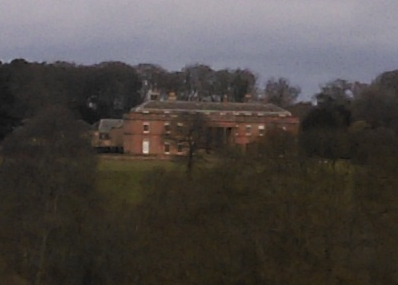
Burn Hall, County Durham

Burn Hall is a country house in County Durham. It is a Grade II* listed building. == History == Around 1812, Bryan John Salvin of Croxdale purchased a...

Browney

Browney is a village in County Durham, England. It is situated to the south-west of Durham and adjoins Meadowfield. It is part of the parish of Brandon...

Browney rail crash

The Browney train crash occurred near to the Browney signal box on the East Coast Main Line, County Durham, England on 5 January 1946. A southbound goods...

Meadowfield

Meadowfield is a small village in County Durham, England, situated approximately two miles south-west of Durham on the A690. It is situated within the...

Nearby Amenities

Located within 500m of 54.749012,-1.602872
Bus Stop
Littleburn Road
Naptan AtcoCode: 13005947A
Naptan Bearing: N
Naptan CommonName: Littleburn Road
Naptan Indicator: north bound
Naptan Landmark: Landmark not known
Naptan NaptanCode: durdmpaj
Naptan Notes: rosebay rd 30m north of thistle rd- littleburn industrial estate- brandon
Naptan PlusbusZoneRef: DRHM
Naptan Street: Littleburn Road
Naptan Verified: no
Source: naptan_import
Lat/Long: 54.7523601/-1.6059931
Bus Stop
Littleburn Road
Naptan AtcoCode: 13005947E
Naptan Bearing: S
Naptan CommonName: Littleburn Road
Naptan Indicator: south bound
Naptan Landmark: Landmark not known
Naptan NaptanCode: durdmpam
Naptan Notes: rosebay rd 30m north of thistle rd- littleburn industrial estate- brandon
Naptan PlusbusZoneRef: DRHM
Naptan Street: Littleburn Road
Naptan Verified: no
Source: naptan_import
Lat/Long: 54.7523687/-1.6058687
Power: tower
Source: Bing
Lat/Long: 54.75133/-1.5988394
Power: tower
Source: Bing
Lat/Long: 54.7494457/-1.5960351
Railway: signal
Railway Signal Direction: forward
Railway Signal Main: GB-NR:main
Railway Signal Main Design: individual
Railway Signal Main Form: light
Railway Signal Main Height: normal
Railway Signal Main States: red;green;yellow;flashing_yellow;double_yellow;flashing_double_yellow
Railway Signal Operator: Network Rail
Railway Signal Position: left
Ref: T 405
Lat/Long: 54.7479352/-1.6057095
Power: pole
Lat/Long: 54.7519948/-1.5975948
Power: pole
Lat/Long: 54.7484669/-1.6051827
Power: pole
Lat/Long: 54.7491078/-1.6039784
Power: pole
Lat/Long: 54.749364/-1.6029002
Power: pole
Lat/Long: 54.7497619/-1.6021331
Power: pole
Lat/Long: 54.7501442/-1.6014303
Power: pole
Lat/Long: 54.7504198/-1.600159
Power: pole
Lat/Long: 54.7508981/-1.5992939
Power: pole
Lat/Long: 54.7514724/-1.5982358
Ford: stepping_stones
Lat/Long: 54.7496378/-1.5973492
Power: pole
Lat/Long: 54.7451787/-1.6050473
Power: pole
Lat/Long: 54.7467562/-1.6052136
Power: pole
Lat/Long: 54.7475574/-1.6050339
Man Made: mast
Tower Type: communication
Lat/Long: 54.7517402/-1.6056709
The data included in this document is from www.openstreetmap.org. The data is made available under ODbL.

Have you been to Meadowfield?

Leave your review of Meadowfield below (or comments, questions and feedback).