Littleburn

Settlement in Durham

England

Littleburn

Detached house beside Browney Lane The road is Browney Lane, the B6300. The detached house is one of a number of recently built properties just outside the village of Meadowfield. At the left side of the image is a road sign in the blue and yellow colours found typically in County Durham.
Detached house beside Browney Lane Credit: Trevor Littlewood

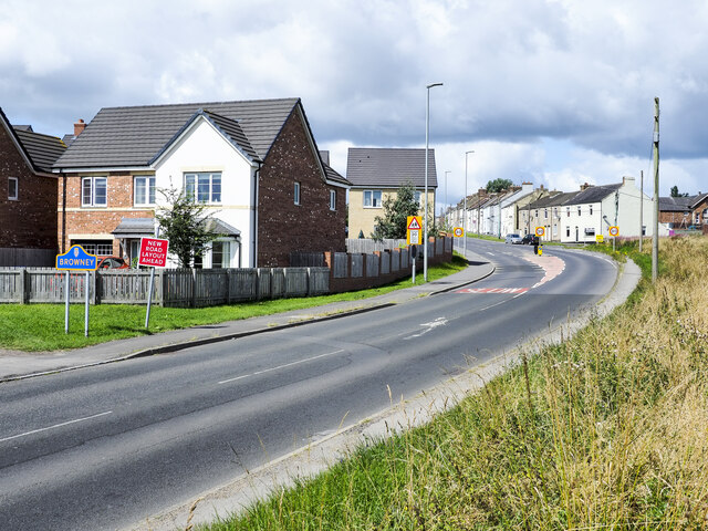
Littleburn is a small village located in the county of Durham, in the northeast of England. Situated approximately 10 miles southwest of Durham city, it falls within the administrative boundaries of the County Durham local government district. The village is nestled in a rural setting, surrounded by picturesque countryside and rolling hills.

Littleburn is known for its charming and close-knit community, with a population of around 500 residents. The village consists mainly of traditional stone-built houses, giving it a timeless and quintessential English village feel. The residents take pride in maintaining the village's aesthetic appeal, with well-tended gardens and floral displays adding to its charm.

Despite its small size, Littleburn boasts a few amenities that cater to the needs of its residents. These include a local pub, offering a cozy atmosphere and a selection of food and drinks, as well as a village hall that serves as a venue for community events and gatherings.

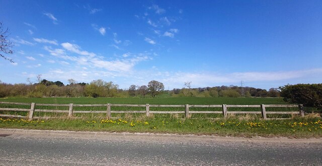
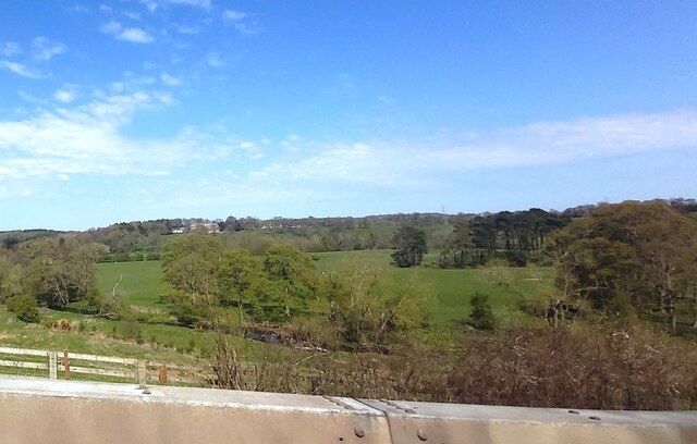
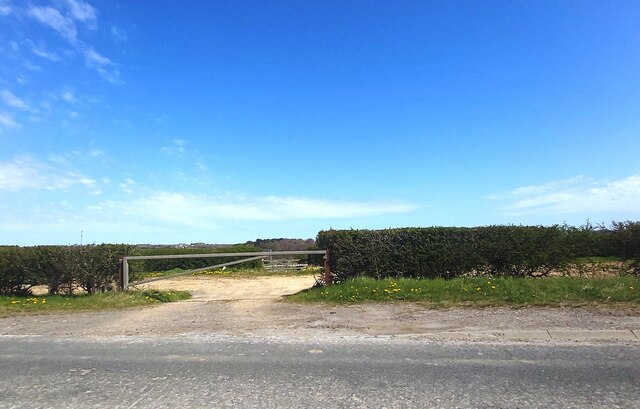
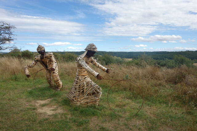
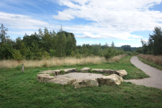
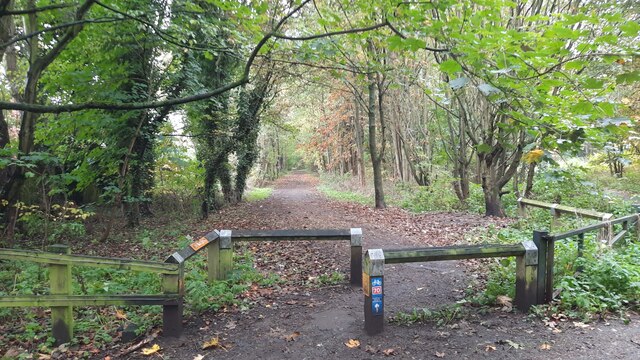
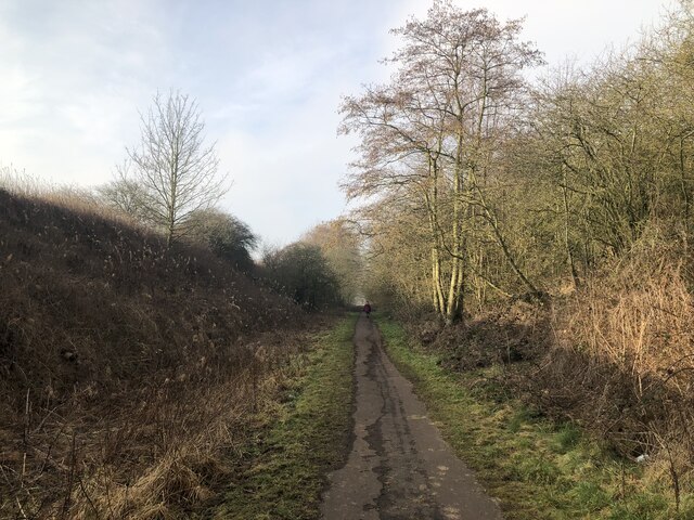
The surrounding countryside presents ample opportunities for outdoor activities, such as walking, cycling, and horse riding. Littleburn is also conveniently located near several nature reserves and country parks, providing residents and visitors with the chance to explore the local flora and fauna.

Transport links to Littleburn are primarily provided by regular bus services, connecting the village to nearby towns and cities. Durham city, with its historical landmarks, shops, and amenities, is easily accessible by public transport or a short drive.

In summary, Littleburn is a tranquil and picturesque village in Durham, offering a peaceful and close-knit community, surrounded by beautiful countryside and with convenient access to nearby amenities.

If you have any feedback on the listing, please let us know in the comments section below.
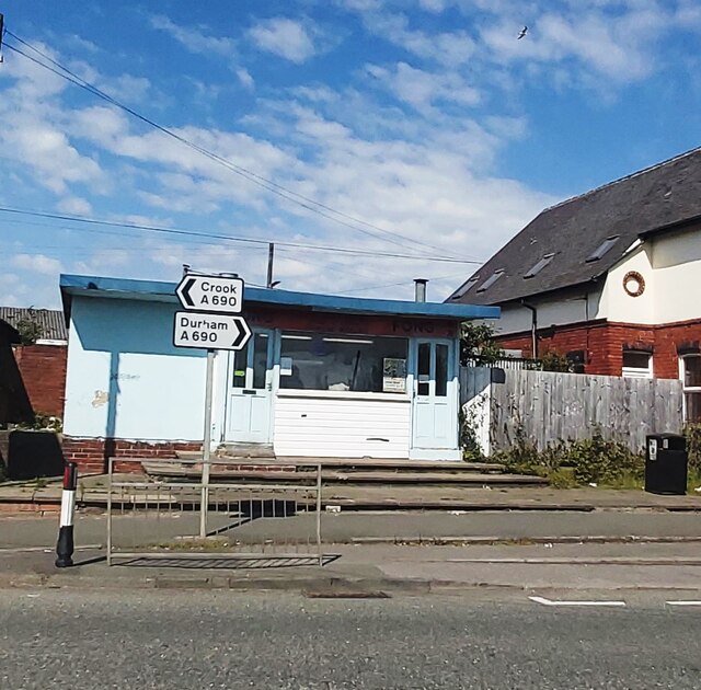
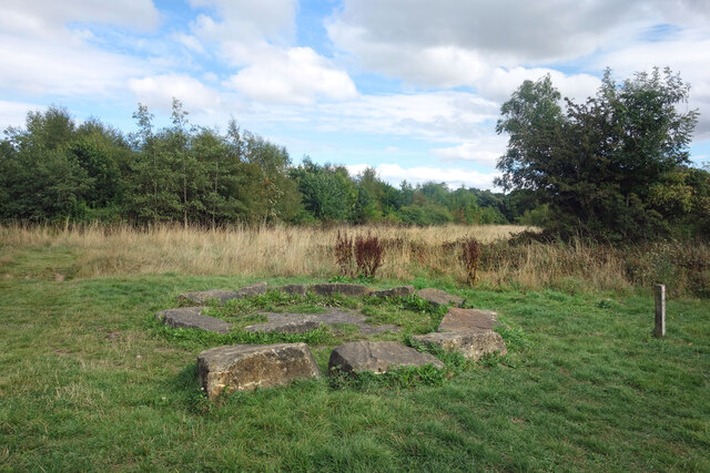
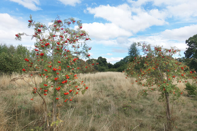
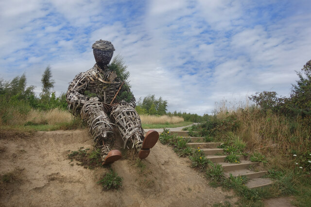
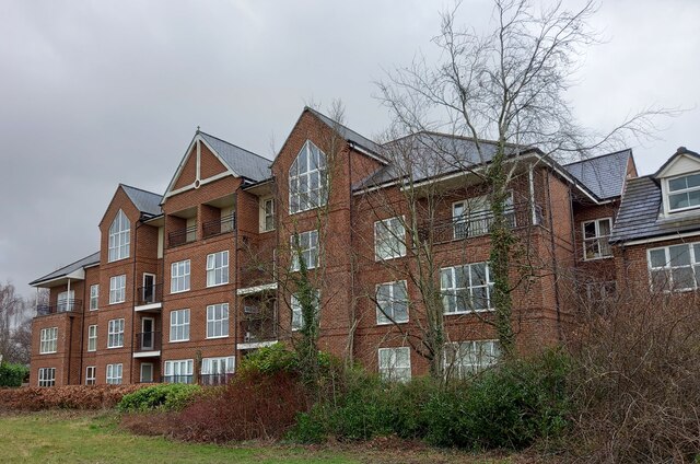
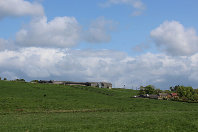
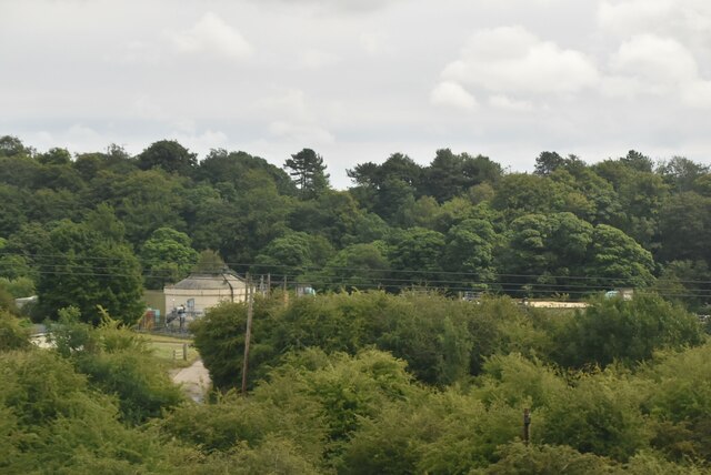
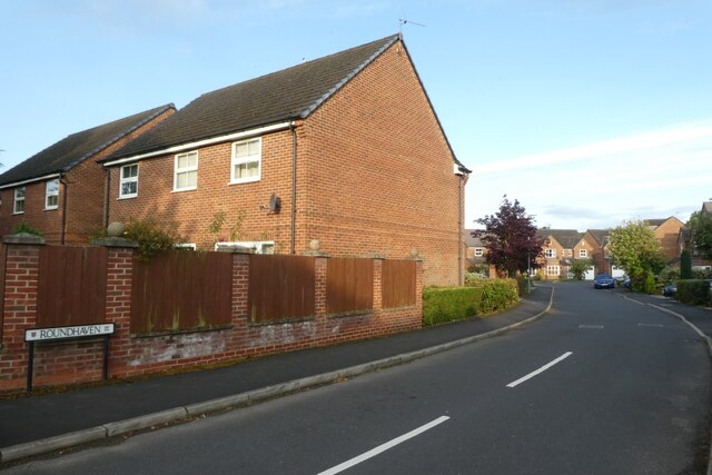
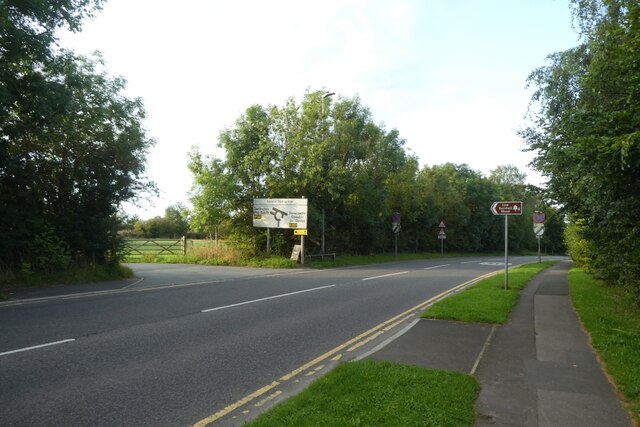
Littleburn Images

Images are sourced within 2km of 54.751764/-1.6058075 or Grid Reference NZ2539. Thanks to Geograph Open Source API. All images are credited.

Detached house beside Browney Lane The road is Browney Lane, the B6300. The detached house is one of a number of recently built properties just outside the village of Meadowfield. At the left side of the image is a road sign in the blue and yellow colours found typically in County Durham.
Detached house beside Browney Lane
The road is Browney Lane, the B6300. The detached house is one of a number of recently built properties just outside the village of Meadowfield. At the left side of the image is a road sign in the blue and yellow colours found typically in County Durham.
Fields by the B6300
Fields by the B6300
Towards the River Browney from Burnigill
Track off Browney Lane
Meadowfield and District Social Club and Institute
Tung Fong Chinese Takeaway - Meadowfield
Stone Spiral in Gary's Wood Gary's Wood is part of the Woodland Trust land at Lower Burnhall, a relatively new woodland area with extensive footpath access. It has various sculptures and stone features at intervals along the tracks.
Stone Spiral in Gary's Wood
Gary's Wood is part of the Woodland Trust land at Lower Burnhall, a relatively new woodland area with extensive footpath access. It has various sculptures and stone features at intervals along the tracks.
Rowan Trees, Low Burnhall Low Burnhall is a fairly recently established bit of forest managed by the Woodland Trust.
Rowan Trees, Low Burnhall
Low Burnhall is a fairly recently established bit of forest managed by the Woodland Trust.
Wicker Man, Low Burnhall A wickerwork figure of a miner sits beside a path in Low Burnhall Wood. There are several sculptures and features at intervals around the wood.
Wicker Man, Low Burnhall
A wickerwork figure of a miner sits beside a path in Low Burnhall Wood. There are several sculptures and features at intervals around the wood.
Wickerwork Figures, Low Burnhall Wood Some more of the wicker sculptures which can be seen in Low Burnhall Wood.
Wickerwork Figures, Low Burnhall Wood
Some more of the wicker sculptures which can be seen in Low Burnhall Wood.
Stone Circle, Low Burnhall Wood There are a lot of tracks and trails around Low Burnhall Wood with various features at intervals. Some stone, like this, some wickerwork, and some old industrial relics.
Stone Circle, Low Burnhall Wood
There are a lot of tracks and trails around Low Burnhall Wood with various features at intervals. Some stone, like this, some wickerwork, and some old industrial relics.
Brandon to Bishop Auckland Railway Path This is part of National Cycle Network route 70.
Brandon to Bishop Auckland Railway Path
This is part of National Cycle Network route 70.
Route of the former Bishop Auckland - Durham railway at Brandon
Durham, Cock of the North Hotel According to the OS benchmark database the OS Flush Bracket 8969 was embedded into the pub and hotel which was at this location. The pub has been demolished and replaced with new housing. It is likely the Flush Bracket has been destroyed.
Durham, Cock of the North Hotel
According to the OS benchmark database the OS Flush Bracket 8969 was embedded into the pub and hotel which was at this location. The pub has been demolished and replaced with new housing. It is likely the Flush Bracket has been destroyed.
View towards Burnigill and High Burnigill As seen from the Weardale Way near Croxdale
View towards Burnigill and High Burnigill
As seen from the Weardale Way near Croxdale
Sewage Works
Sewage Works
Roundhaven from the A177 A street off South Road in Durham.
Roundhaven from the A177
A street off South Road in Durham.
Entrance to Low Burnhall An entrance to the Woodland Trust car park off the A177 South Road near Cock o' the North roundabout.
Entrance to Low Burnhall
An entrance to the Woodland Trust car park off the A177 South Road near Cock o' the North roundabout.
Show me another place!

Littleburn is located at Grid Ref: NZ2539 (Lat: 54.751764, Lng: -1.6058075)

Unitary Authority: County Durham

Police Authority: Durham

What 3 Words

///miss.demand.incomes. Near Brandon, Co. Durham

Nearby Locations

Meadowfield Littleburn

Related Wikis

Langley Moor

Langley Moor is an old pit village in County Durham, England. It is located approximately 2 miles south-west of Durham City. Langley Moor is within the...

Meadowfield

Meadowfield is a small village in County Durham, England, situated approximately two miles south-west of Durham on the A690. It is situated within the...

Browney

Browney is a village in County Durham, England. It is situated to the south-west of Durham and adjoins Meadowfield. It is part of the parish of Brandon...

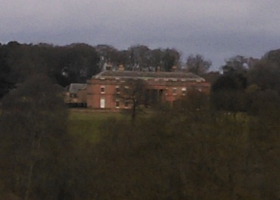
Burn Hall, County Durham

Burn Hall is a country house in County Durham. It is a Grade II* listed building. == History == Around 1812, Bryan John Salvin of Croxdale purchased a...

Nearby Amenities

Located within 500m of 54.751764,-1.6058075
Barrier: stile
Foot: yes
Lat/Long: 54.756161/-1.6047349
Power: tower
Source: Bing
Lat/Long: 54.7539759/-1.5997387
Bus Stop
Mill Road
Naptan AtcoCode: 13005946C
Naptan Bearing: E
Naptan CommonName: Mill Road
Naptan Indicator: east bound
Naptan Landmark: Landmark not known
Naptan NaptanCode: durdmpad
Naptan Notes: 5- Mill Road- Brandon
Naptan PlusbusZoneRef: DRHM
Naptan Street: Mill Road
Naptan Verified: no
Source: naptan_import
Lat/Long: 54.755669/-1.6093018
Bus Stop
Mill Road
Naptan AtcoCode: 13005946G
Naptan Bearing: W
Naptan CommonName: Mill Road
Naptan Indicator: west bound
Naptan Landmark: Landmark not known
Naptan NaptanCode: durdmpag
Naptan Notes: Opp 5- Mill Road- Brandon
Naptan PlusbusZoneRef: DRHM
Naptan Street: Mill Road
Naptan Verified: no
Source: naptan_import
Lat/Long: 54.7555881/-1.6093025
Bus Stop
Littleburn Road
Naptan AtcoCode: 13005947A
Naptan Bearing: N
Naptan CommonName: Littleburn Road
Naptan Indicator: north bound
Naptan Landmark: Landmark not known
Naptan NaptanCode: durdmpaj
Naptan Notes: rosebay rd 30m north of thistle rd- littleburn industrial estate- brandon
Naptan PlusbusZoneRef: DRHM
Naptan Street: Littleburn Road
Naptan Verified: no
Source: naptan_import
Lat/Long: 54.7523601/-1.6059931
Bus Stop
Littleburn Road
Naptan AtcoCode: 13005947E
Naptan Bearing: S
Naptan CommonName: Littleburn Road
Naptan Indicator: south bound
Naptan Landmark: Landmark not known
Naptan NaptanCode: durdmpam
Naptan Notes: rosebay rd 30m north of thistle rd- littleburn industrial estate- brandon
Naptan PlusbusZoneRef: DRHM
Naptan Street: Littleburn Road
Naptan Verified: no
Source: naptan_import
Lat/Long: 54.7523687/-1.6058687
Power: tower
Source: Bing
Lat/Long: 54.75133/-1.5988394
Generator Method: photovoltaic
Generator Output Electricity: yes
Generator Source: solar
Generator Type: solar_photovoltaic_panel
Location: roof
Power: generator
Lat/Long: 54.7557446/-1.6073714
Generator Method: photovoltaic
Generator Output Electricity: yes
Generator Source: solar
Generator Type: solar_photovoltaic_panel
Location: roof
Power: generator
Lat/Long: 54.7557384/-1.6072963
Railway: signal
Railway Signal Direction: forward
Railway Signal Main: GB-NR:main
Railway Signal Main Design: individual
Railway Signal Main Form: light
Railway Signal Main Height: normal
Railway Signal Main States: red;green;yellow;flashing_yellow;double_yellow;flashing_double_yellow
Railway Signal Operator: Network Rail
Railway Signal Position: left
Ref: T 405
Lat/Long: 54.7479352/-1.6057095
Noexit: yes
Lat/Long: 54.7559369/-1.6078394
Power: pole
Lat/Long: 54.7484669/-1.6051827
Power: pole
Lat/Long: 54.7491078/-1.6039784
Power: pole
Lat/Long: 54.749364/-1.6029002
Power: pole
Lat/Long: 54.7497619/-1.6021331
Power: pole
Lat/Long: 54.7501442/-1.6014303
Power: pole
Lat/Long: 54.7504198/-1.600159
Power: pole
Lat/Long: 54.7508981/-1.5992939
Power: pole
Lat/Long: 54.7514724/-1.5982358
Power: pole
Lat/Long: 54.7475574/-1.6050339
Addr City: Durham
Addr Housenumber: 19
Addr Postcode: DH7 8HB
Addr Street: Littleburn Lane
Addr Village: Langley Moor
Lat/Long: 54.7558023/-1.6084522
Addr City: Durham
Addr Housenumber: 15
Addr Postcode: DH7 8HB
Addr Street: Littleburn Lane
Addr Village: Langley Moor
Lat/Long: 54.7558025/-1.6081019
Addr City: Durham
Addr Housenumber: 2
Addr Postcode: DH7 8HD
Addr Street: Onslow Terrace
Addr Village: Langley Moor
Lat/Long: 54.7560104/-1.6083838
Addr City: Durham
Addr Housenumber: 33
Addr Postcode: DH7 8JQ
Addr Street: Holliday Close
Addr Village: Langley Moor
Lat/Long: 54.7557758/-1.6075768
Addr City: Durham
Addr Housenumber: 14
Addr Postcode: DH7 8HB
Addr Street: Littleburn Lane
Addr Village: Langley Moor
Lat/Long: 54.7558612/-1.6080806
Addr City: Durham
Addr Housenumber: 10
Addr Postcode: DH7 8HB
Addr Street: Littleburn Lane
Addr Village: Langley Moor
Lat/Long: 54.7560573/-1.6079931
Addr City: Durham
Addr Housenumber: 16b
Addr Postcode: DH7 8HB
Addr Street: Littleburn Lane
Addr Village: Langley Moor
Lat/Long: 54.7556873/-1.6081616
Addr City: Durham
Addr Housenumber: 16a
Addr Postcode: DH7 8HB
Addr Street: Littleburn Lane
Addr Village: Langley Moor
Lat/Long: 54.7557443/-1.608123
Addr City: Durham
Addr Housename: Rosebay
Addr Housenumber: 13
Addr Postcode: DH7 8HB
Addr Street: Littleburn Lane
Addr Village: Langley Moor
Lat/Long: 54.7559143/-1.6080613
Addr City: Durham
Addr Housenumber: 16c
Addr Postcode: DH7 8HB
Addr Street: Littleburn Lane
Addr Village: Langley Moor
Lat/Long: 54.755672/-1.6080558
Addr City: Durham
Addr Housenumber: 12
Addr Postcode: DH7 8HB
Addr Street: Littleburn Lane
Addr Village: Langley Moor
Lat/Long: 54.7559908/-1.6080182
Addr City: Durham
Addr Housenumber: 11
Addr Postcode: DH7 8HB
Addr Street: Littleburn Lane
Addr Village: Langley Moor
Lat/Long: 54.7560235/-1.6080059
Addr City: Durham
Addr Housenumber: 16d
Addr Postcode: DH7 8HB
Addr Street: Littleburn Lane
Addr Village: Langley Moor
Lat/Long: 54.7556531/-1.607925
Addr City: Durham
Addr Housenumber: 34
Addr Postcode: DH7 8JQ
Addr Street: Holliday Close
Addr Village: Langley Moor
Lat/Long: 54.7560684/-1.6075563
Addr City: Durham
Addr Housenumber: 1
Addr Postcode: DH7 8HD
Addr Street: Onslow Terrace
Addr Village: Langley Moor
Lat/Long: 54.7559667/-1.608399
Addr City: Durham
Addr Housenumber: 35
Addr Postcode: DH7 8JQ
Addr Street: Holliday Close
Addr Village: Langley Moor
Lat/Long: 54.7560732/-1.6076383
Noexit: yes
Lat/Long: 54.7559141/-1.607637
Addr City: Durham
Addr Housenumber: 32
Addr Postcode: DH7 8JQ
Addr Street: Holliday Close
Addr Village: Langley Moor
Lat/Long: 54.7557686/-1.6074841
Addr City: Durham
Addr Housenumber: 31
Addr Postcode: DH7 8JQ
Addr Street: Holliday Close
Addr Village: Langley Moor
Lat/Long: 54.7557655/-1.6073821
Addr City: Durham
Addr Housenumber: 30
Addr Postcode: DH7 8JQ
Addr Street: Holliday Close
Addr Village: Langley Moor
Lat/Long: 54.7557616/-1.6072977
Addr City: Durham
Addr Housenumber: 29
Addr Postcode: DH7 8JQ
Addr Street: Holliday Close
Addr Village: Langley Moor
Lat/Long: 54.7557647/-1.607181
Addr City: Durham
Addr Housenumber: 28
Addr Postcode: DH7 8JQ
Addr Street: Holliday Close
Addr Village: Langley Moor
Lat/Long: 54.7557624/-1.6070978
Addr City: Durham
Addr Housenumber: 27
Addr Postcode: DH7 8JQ
Addr Street: Holliday Close
Addr Village: Langley Moor
Lat/Long: 54.7557562/-1.6070133
Addr City: Durham
Addr Housenumber: 26
Addr Postcode: DH7 8JQ
Addr Street: Holliday Close
Addr Village: Langley Moor
Lat/Long: 54.7559427/-1.6072051
Addr City: Durham
Addr Housenumber: 25
Addr Postcode: DH7 8JQ
Addr Street: Holliday Close
Addr Village: Langley Moor
Lat/Long: 54.7559922/-1.6071837
Addr City: Durham
Addr Housenumber: 24
Addr Postcode: DH7 8JQ
Addr Street: Holliday Close
Addr Village: Langley Moor
Lat/Long: 54.756034/-1.6071796
Addr City: Durham
Addr Housenumber: 23
Addr Postcode: DH7 8JQ
Addr Street: Holliday Close
Addr Village: Langley Moor
Lat/Long: 54.7560812/-1.6071863
Addr City: Durham
Addr Housenumber: 22
Addr Postcode: DH7 8JQ
Addr Street: Holliday Close
Addr Village: Langley Moor
Lat/Long: 54.7561315/-1.6071877
Addr City: Durham
Addr Housenumber: 21
Addr Postcode: DH7 8JQ
Addr Street: Holliday Close
Addr Village: Langley Moor
Lat/Long: 54.756181/-1.6071743
Man Made: mast
Tower Type: communication
Lat/Long: 54.7517402/-1.6056709
North East Granite
Addr City: Durham
Addr Country: GB
Addr Postcode: DH7 8HJ
Addr Suburb: Lanchester
Craft: stonemason
Website: https://www.northeastgranite.co.uk/
Lat/Long: 54.7536627/-1.6058037
The data included in this document is from www.openstreetmap.org. The data is made available under ODbL.

Have you been to Littleburn?

Leave your review of Littleburn below (or comments, questions and feedback).