Thurston Planche
Settlement in Suffolk Mid Suffolk
England
Thurston Planche
Thurston Planche is a small village located in the county of Suffolk, England. Nestled in the heart of the East Anglian countryside, this picturesque settlement is surrounded by rolling hills and lush green landscapes. It is situated approximately 12 miles east of the town of Bury St Edmunds.
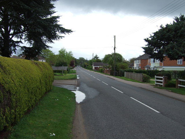
The village is known for its tranquility and rural charm, making it an ideal location for those seeking a peaceful retreat from the bustling city life. The quaint streets are lined with traditional thatched cottages, adding to the village's idyllic atmosphere.
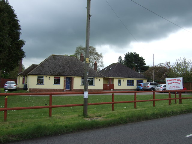
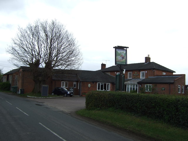
Thurston Planche is home to a close-knit community, with a population of around 1,500 residents. The village has a range of amenities to cater to the needs of its inhabitants, including a primary school, a village hall, and a local pub. The nearby market town of Bury St Edmunds offers additional services and facilities, ensuring that residents have easy access to all necessary amenities.
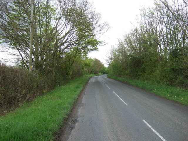
The surrounding countryside provides ample opportunities for outdoor activities and exploration. There are several walking and cycling trails that wind through the village, allowing visitors and residents alike to appreciate the area's natural beauty. The village is also within close proximity to Thurston Heath, a nature reserve renowned for its diverse wildlife and scenic views.
Overall, Thurston Planche offers a delightful blend of rural living and community spirit, making it an appealing destination for those seeking a peaceful and picturesque place to call home.
If you have any feedback on the listing, please let us know in the comments section below.
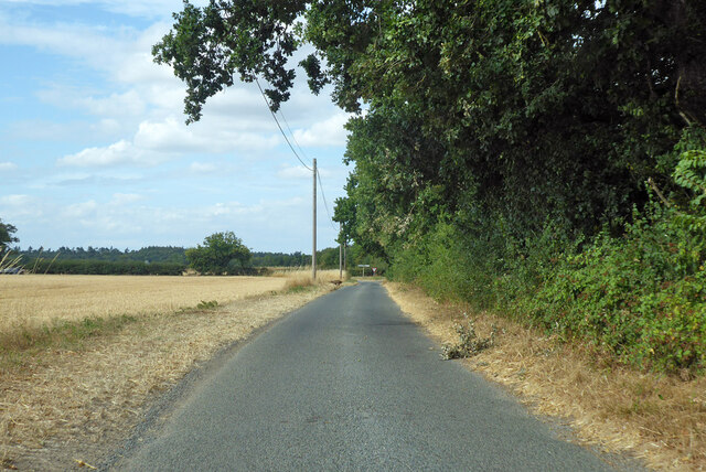
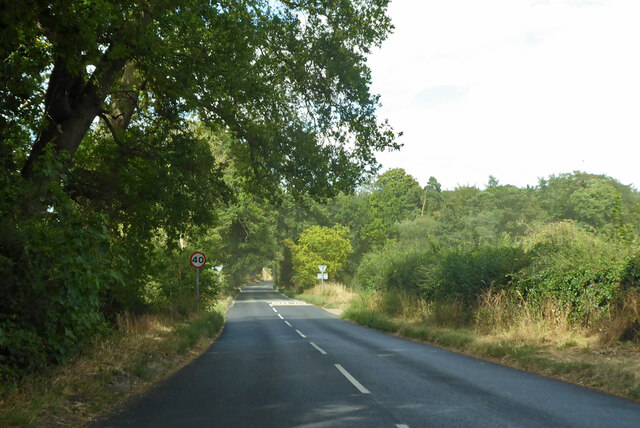
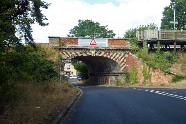
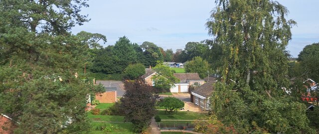
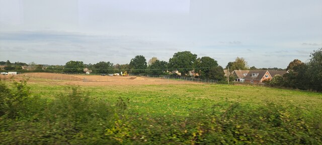
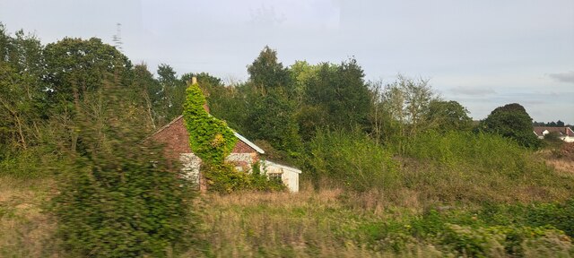
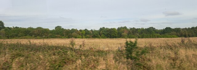
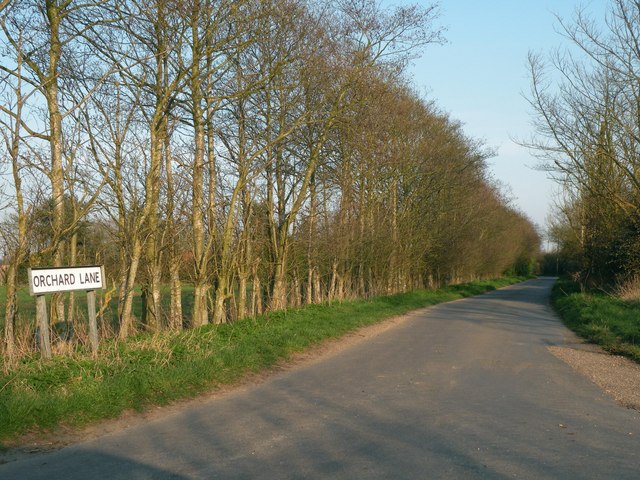
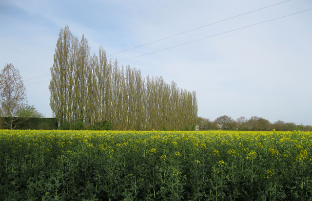
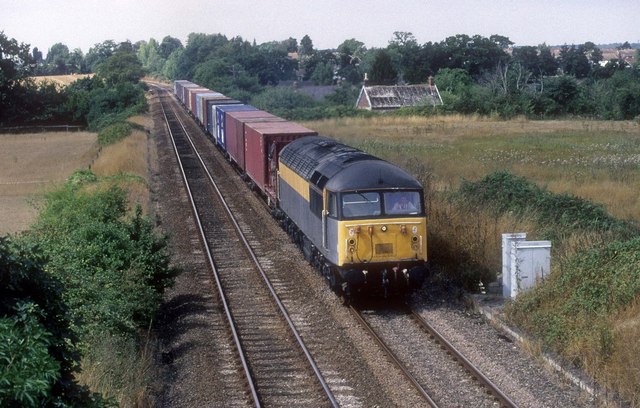
Thurston Planche Images
Images are sourced within 2km of 52.243026/0.82659769 or Grid Reference TL9364. Thanks to Geograph Open Source API. All images are credited.


Thurston Planche is located at Grid Ref: TL9364 (Lat: 52.243026, Lng: 0.82659769)
Administrative County: Suffolk
District: Mid Suffolk
Police Authority: Suffolk
What 3 Words
///strutted.zaps.purchaser. Near Thurston, Suffolk
Nearby Locations
Related Wikis

Thurston, Suffolk
Thurston is a village and a parish in Suffolk situated about 4 miles (6 km) east of Bury St Edmunds and 10 miles (16 km) west of Stowmarket. In mid-2005...

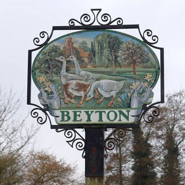
Beyton
Beyton is a village and civil parish in the Mid Suffolk district of the English county of Suffolk. The village is around 8 miles (13 km) east of Bury St...

Black Bourn Valley
Black Bourn Valley, formerly called Grove Farm, is an 88 hectare nature reserve between Thurston and Elmswell in Suffolk. It is managed by the Suffolk...
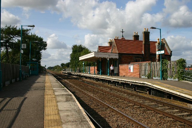
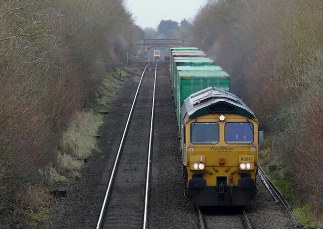
Thurston railway station
Thurston railway station serves the village of Thurston in Suffolk, England. The station, and all trains serving it, are operated by Greater Anglia. It...
Nearby Amenities
Located within 500m of 52.243026,0.82659769Have you been to Thurston Planche?
Leave your review of Thurston Planche below (or comments, questions and feedback).