Thurston Park

Settlement in Kent Canterbury

England

Thurston Park

Whitstable Harbour
Whitstable Harbour Credit: Alex McGregor

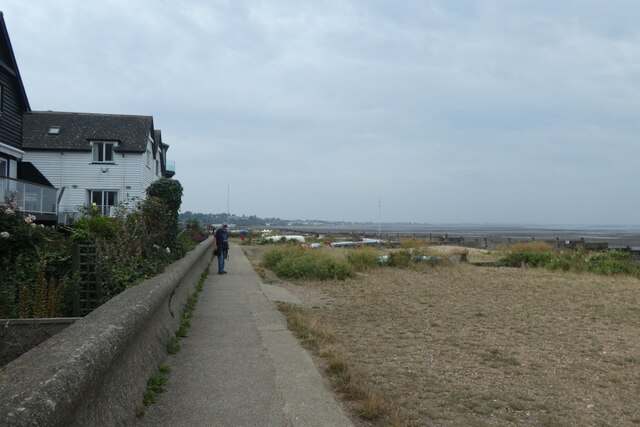
Thurston Park is a picturesque country park located in the county of Kent, England. Covering an area of approximately 250 acres, it is situated near the village of Thurston, just a short distance from the historic town of Maidstone.

This park offers visitors a tranquil escape from the bustling city life, with its sprawling green fields, dense woodlands, and meandering streams. The park is known for its diverse wildlife, making it a popular destination for nature enthusiasts and birdwatchers alike. Visitors may catch a glimpse of various species of birds, butterflies, and even deer that roam freely in the park.

Thurston Park boasts several well-maintained walking trails, providing ample opportunities for leisurely strolls or more energetic hikes. These paths wind through the park's different landscapes, offering mesmerizing views of the surrounding countryside. Along the way, visitors can discover hidden gems such as ancient oak trees, charming picnic spots, and peaceful ponds.

For those seeking recreational activities, Thurston Park has facilities for outdoor sports such as football and cricket, as well as designated areas for cycling and horse riding. Additionally, the park hosts various events and workshops throughout the year, including guided nature walks, educational programs, and community festivals.

With its serene atmosphere and stunning natural beauty, Thurston Park is a cherished destination for locals and tourists alike. Whether one seeks a peaceful retreat, an outdoor adventure, or simply a place to connect with nature, this enchanting park in Kent never fails to captivate its visitors.

If you have any feedback on the listing, please let us know in the comments section below.

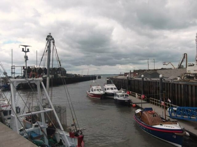
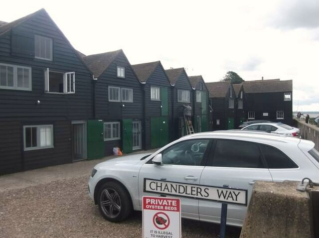
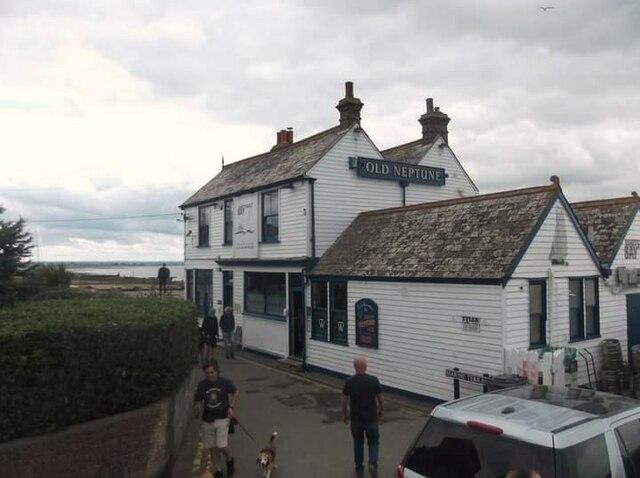
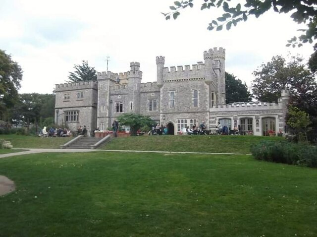
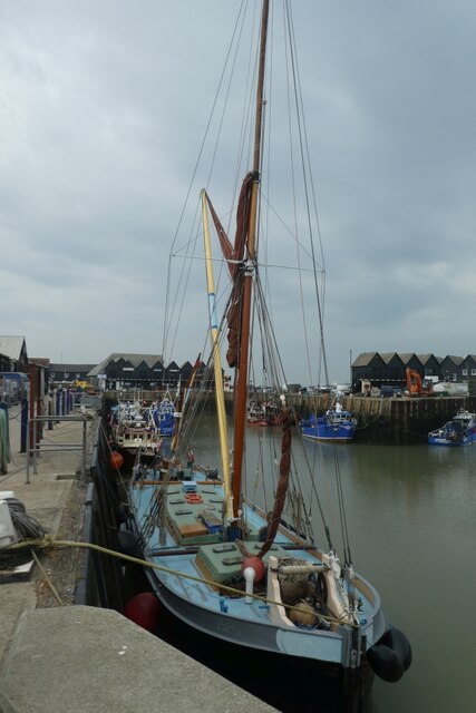
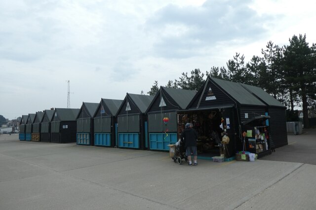
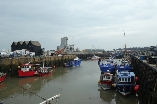
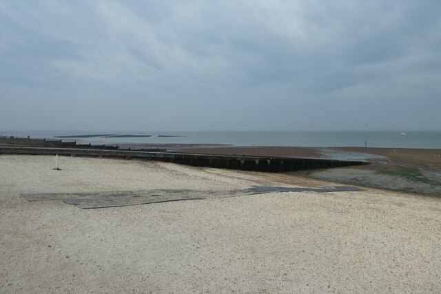
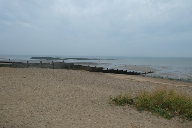
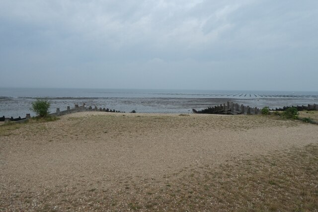
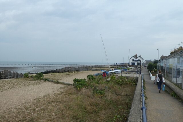
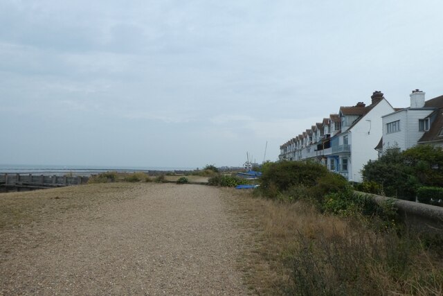
Thurston Park Images

Images are sourced within 2km of 51.356409/1.0327144 or Grid Reference TR1166. Thanks to Geograph Open Source API. All images are credited.

Whitstable Harbour
Whitstable Harbour
The Forge
The Forge
Chandlers Way
Chandlers Way
Old Neptune public house
The Castle
The Castle
St Alphege Church
St Alphege Church
Tankerton slopes
Tankerton slopes
Tower Parade Looking along the B2205 in Whitstable.
Tower Parade
Looking along the B2205 in Whitstable.
Harbour entrance Looking towards the mouth of Whitstable harbour.
Harbour entrance
Looking towards the mouth of Whitstable harbour.
Boats in the harbour Looking at various fishing vessels at Whitstable.
Boats in the harbour
Looking at various fishing vessels at Whitstable.
Retail huts near the harbour Little huts sat beside the harbour at Whitstable.
Retail huts near the harbour
Little huts sat beside the harbour at Whitstable.
Harbour at Whitstable Looking along the harbour with various fishing boats.
Harbour at Whitstable
Looking along the harbour with various fishing boats.
Slipways on the beach Looking across the beach at Whitstable.
Slipways on the beach
Looking across the beach at Whitstable.
Groynes on the beach Looking along Reeves Beach at Whitstable.
Groynes on the beach
Looking along Reeves Beach at Whitstable.
Groynes near Marine Terrace Looking across part of the beach in Whitstable.
Groynes near Marine Terrace
Looking across part of the beach in Whitstable.
Sea wall and Marine Terrace Looking along the sea wall in Whitstable.
Sea wall and Marine Terrace
Looking along the sea wall in Whitstable.
Wave Crest Looking towards cottages on the front in Whitstable.
Wave Crest
Looking towards cottages on the front in Whitstable.
Cottages beside the beach Looking along the sea wall in Whitstable.
Cottages beside the beach
Looking along the sea wall in Whitstable.
Show me another place!

Thurston Park is located at Grid Ref: TR1166 (Lat: 51.356409, Lng: 1.0327144)

Administrative County: Kent

District: Canterbury

Police Authority: Kent

What 3 Words

///green.unzips.frightens. Near Whitstable, Kent

Nearby Locations

Whitstable Thurston Park

Related Wikis

Whitstable railway station

Whitstable railway station is on the Ramsgate branch of the Chatham Main Line in England, serving the town of Whitstable, Kent. It is 59 miles 6 chains...

Tankerton Halt railway station

Tankerton Halt was a minor station on the Canterbury and Whitstable Railway at Tankerton, Kent. It opened in 1914 and closed in 1931. == History == Tankerton...

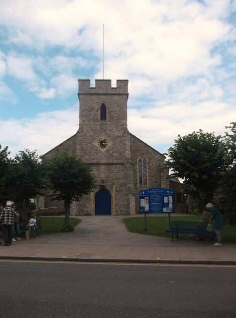
All Saints Church, Whitstable

All Saints Church is a Church of England church in Whitstable, Kent. It is one of five Church of England churches in the Whitstable Team Ministry. There...

Whitstable Museum and Gallery

Whitstable Museum is a heritage centre in Whitstable, Kent, with Invicta, one of the world's oldest steam engines, the history of the local oyster trade...

Nearby Amenities

Located within 500m of 51.356409,1.0327144
Crossing
Crossing: uncontrolled
Kerb: lowered
Tactile Paving: yes
Traffic Calming: choker
Lat/Long: 51.3568962/1.0298668
Crossing
Crossing: unmarked
Crossing Island: no
Kerb: lowered
Tactile Paving: yes
Lat/Long: 51.3582156/1.0298181
Traffic Calming: choker
Lat/Long: 51.3562935/1.0282146
Mini Roundabout
Direction: clockwise
Lat/Long: 51.3543878/1.0299104
Check Date: 2021-05-05
Traffic Calming: table
Lat/Long: 51.3573385/1.0338142
Check Date: 2022-06-03
Traffic Calming: cushion
Lat/Long: 51.3524895/1.0327494
Check Date: 2022-06-03
Traffic Calming: cushion
Lat/Long: 51.3532062/1.031312
Crossing
Crossing Ref: zebra
Lat/Long: 51.3572678/1.0329839
Telephone
Booth: KX100
Covered: booth
Payment Coins: yes
Payment Credit Cards: yes
Payment Debit Cards: yes
Phone: +44 1227 276902
Lat/Long: 51.3573131/1.0329968
Post Box
Operator: Royal Mail
Post Box Type: pillar
Postal Code: CT5
Ref: CT5 39D
Royal Cypher: GR
Royal Cypher Wikidata: Q33102273
Source: survey
Lat/Long: 51.3573236/1.0389497
Crossing
Crossing: unmarked
Crossing Island: no
Kerb: lowered
Tactile Paving: no
Lat/Long: 51.3571308/1.0263876
Crossing
Crossing: uncontrolled
Surface: paving_stones
Tactile Paving: yes
Lat/Long: 51.3597165/1.0302633
Post Box
Brand: Royal Mail
Brand Wikidata: Q638098
Collection Times: Mo-Fr 09:00; Sa 07:00
Operator: Royal Mail
Operator Wikidata: Q638098
Post Box Design: type_k
Post Box Type: pillar
Postal Code: CT5
Ref: CT5 372
Source: survey
Lat/Long: 51.35458/1.0278925
Post Box
Mapillary: 803651670189958
Post Box Type: pillar
Postal Code: CT5
Ref: CT5 202
Source: survey
Survey Date: 2021-05-02
Lat/Long: 51.3564624/1.0326025
Bicycle Parking
Bicycle Parking: stands
Capacity: 20
Check Date Capacity: 2021-05-05
Covered: no
Cyclestreets Id: 16445
Source: survey
Lat/Long: 51.3573475/1.0335879
Bicycle Parking
Access: yes
Bicycle Parking: lockers
Capacity: 6
Cyclestreets Id: 27777
Fee: no
Lat/Long: 51.3573226/1.0328985
Barrier: bollard
Lat/Long: 51.3607907/1.0320546
Post Box
Collection Times: Mo-Fr 09:00; Sa 07:00
Postal Code: CT5
Ref: CT5 149
Royal Cypher: GR
Royal Cypher Wikidata: Q33102273
Source: survey
Lat/Long: 51.3596729/1.0360222
Bus Stop
Cranleigh Gardens
Bench: no
Bin: no
Naptan AtcoCode: 2400A040650A
Naptan Bearing: N
Naptan CommonName: Cranleigh Gardens
Naptan Indicator: opp
Naptan Landmark: Cranleigh Gardens
Naptan NaptanCode: kntdpwpm
Naptan PlusbusZoneRef: HRNEBAY
Naptan Street: Grimshill Rd
Naptan Verified: no
Shelter: no
Source: naptan_import
Lat/Long: 51.3525217/1.0299798
Bus Stop
Cranleigh Gardens
Bench: no
Bin: no
Naptan AtcoCode: 2400A040660A
Naptan Bearing: S
Naptan CommonName: Cranleigh Gardens
Naptan Indicator: adj
Naptan Landmark: Cranleigh Gardens
Naptan NaptanCode: kntdpwpt
Naptan PlusbusZoneRef: HRNEBAY
Naptan Street: Grimshill Rd
Naptan Verified: no
Shelter: no
Source: naptan_import
Lat/Long: 51.3527496/1.0302103
Bus Stop
Stream Walk
Naptan AtcoCode: 2400A040680A
Naptan Bearing: SW
Naptan CommonName: Stream Walk
Naptan Indicator: adj
Naptan NaptanCode: kntdpwta
Naptan PlusbusZoneRef: HRNEBAY
Naptan Street: Cromwell Rd
Naptan Verified: no
Source: naptan_import
Lat/Long: 51.3566988/1.0294942
Bus Stop
Hamilton Road
Bench: no
Bin: no
Lit: yes
Naptan AtcoCode: 2400A040690A
Naptan Bearing: S
Naptan CommonName: Hamilton Road
Naptan Indicator: S-bound
Naptan Landmark: Stocks
Naptan NaptanCode: kntdpwtd
Naptan PlusbusZoneRef: HRNEBAY
Naptan Street: Cromwell Rd
Naptan Verified: no
Shelter: no
Source: naptan_import
Tactile Paving: no
Lat/Long: 51.3577695/1.0305274
Bus Stop
Westmeads School
Bus: yes
Naptan AtcoCode: 2400A040700A
Naptan Bearing: NW
Naptan CommonName: Westmeads School
Naptan Indicator: adj
Naptan Landmark: Westmeads Sch
Naptan NaptanCode: kntdpwtg
Naptan PlusbusZoneRef: HRNEBAY
Naptan Street: Cromwell Road
Naptan Verified: no
Public Transport: platform
Source: naptan_import
Lat/Long: 51.3602724/1.0299364
Bus Stop
Westmeads School
Bus: yes
Naptan AtcoCode: 2400A040710A
Naptan Bearing: SE
Naptan CommonName: Westmeads School
Naptan Indicator: opp
Naptan Landmark: Westmeads Sch
Naptan NaptanCode: kntdpwtj
Naptan PlusbusZoneRef: HRNEBAY
Naptan Street: Cromwell Road
Naptan Verified: no
Public Transport: platform
Source: naptan_import
Lat/Long: 51.360505/1.0297886
Bus Stop
Railway Station
Bench: no
Bin: no
Naptan AtcoCode: 2400A040730A
Naptan Bearing: W
Naptan CommonName: Railway Station
Naptan Indicator: adj
Naptan Landmark: Westmeads Rd
Naptan NaptanCode: kntdpwtp
Naptan PlusbusZoneRef: HRNEBAY
Naptan Street: Teynham Road
Naptan Verified: no
Operator: Stagecoach
Shelter: no
Source: naptan_import
Lat/Long: 51.3582373/1.0340765
Bus Stop
Whitstable Railway Station
Flag: no
Naptan AtcoCode: 2400A062470R
Naptan Bearing: E
Naptan BusStopType: CUS
Naptan CommonName: Whitstable Railway Station
Naptan Indicator: o/s
Naptan Landmark: Stn Forecourt
Naptan NaptanCode: kntgdapw
Naptan PlusbusZoneRef: HRNEBAY
Naptan Street: Old Bridge Rd
Naptan Verified: no
Public Transport: platform
Shelter: no
Source: naptan_import
Tactile Paving: no
Lat/Long: 51.3575677/1.0341488
Taxi
4 Spaces Taxi Rank
Naptan AtcoCode: 2400A062480R
Naptan CommonName: 4 Spaces Taxi Rank
Naptan Indicator: To Town Ctr
Naptan Landmark: Stn Forecourt
Naptan PlusbusZoneRef: HRNEBAY
Naptan Street: Railway Av
Naptan Verified: no
Source: naptan_import
Lat/Long: 51.3575902/1.0326371
Bus Stop
Millstrood Road
Flag: no
Naptan AtcoCode: 2400A074530A
Naptan Bearing: NW
Naptan BusStopType: CUS
Naptan CommonName: Millstrood Road
Naptan Indicator: NW-bound
Naptan Landmark: Cemetery
Naptan NaptanCode: kntgjmat
Naptan PlusbusZoneRef: HRNEBAY
Naptan Street: Millstrood Road
Naptan Verified: no
Public Transport: platform
Source: naptan_import
Lat/Long: 51.3519724/1.0331324
Barrier: cycle_barrier
Lat/Long: 51.3526505/1.0361651
Thurston Park
Place: suburb
Source: OS_OpenData_StreetView
Lat/Long: 51.3564416/1.0349528
Meadow Grange
Addr Street: Whitstable Road
Shop: garden_centre
Lat/Long: 51.354653/1.027554
Kerb: raised
Lat/Long: 51.3578953/1.0272665
Traffic Calming: choker
Lat/Long: 51.3559429/1.0272846
Mini Roundabout
Direction: clockwise
Lat/Long: 51.357371/1.0305945
Post Box
Collection Plate: CP1D
Collection Times: Mo-Fr 09:00; Sa 07:00
Mapillary: 128185776072093
Old Ref: CT5 180
Operator: Royal Mail
Operator Wikidata: Q638098
Post Box Type: pillar
Postal Code: CT5
Ref: CT5 180D
Royal Cypher: GR
Royal Cypher Wikidata: Q33102273
Source: survey
Survey Date: 2021-05-02
Survey Date: 2023-07-06
Lat/Long: 51.3575016/1.0307193
Whitstable
Public Transport: stop_position
Railway: stop
Ref: 2
Train: yes
Lat/Long: 51.3578385/1.0359532
Bicycle Parking
Bicycle Parking: stands
Capacity: 11
Covered: no
Cyclestreets Id: 16444;27777
Lat/Long: 51.3573656/1.0328759
Traffic Calming: hump
Lat/Long: 51.3540914/1.0282773
Traffic Calming: hump
Lat/Long: 51.3538194/1.0281888
Traffic Calming: choker
Lat/Long: 51.354042/1.0281973
Traffic Calming: choker
Lat/Long: 51.3543031/1.028284
Traffic Calming: hump
Lat/Long: 51.3543694/1.0283679
Check Date: 2021-07-19
Traffic Calming: cushion
Lat/Long: 51.3538811/1.0301163
Whitstable
Public Transport: stop_position
Railway: stop
Ref: 1
Train: yes
Lat/Long: 51.3574643/1.0331124
Communication Mobile Phone: yes
Man Made: mast
Note: Masts on top of building
Tower Type: communication
Lat/Long: 51.3544259/1.0280428
Communication Mobile Phone: yes
Man Made: mast
Note: Masts on top of building
Tower Type: communication
Lat/Long: 51.3545219/1.0281148
Whitstable
Naptan AtcoCode: 9100WHSTBLE
Network: National Rail
Network Website: https://www.nationalrail.co.uk/stations/whi/
Network Wikidata: Q26334
Operator: Southeastern
Operator Website: https://www.southeasternrailway.co.uk/travel-information/more-travel-help/station-information/stations/whitstable
Operator Wikidata: Q1696490
Platforms: 2
Public Transport: station
Railway: station
Ref Crs: WHI
Wheelchair: yes
Wikidata: Q2555569
Wikipedia: en:Whitstable railway station
Lat/Long: 51.3576861/1.0343648
Waste Basket
Lat/Long: 51.3526379/1.0362205
Street Lamp
Ref: FIAM006
Lat/Long: 51.3547839/1.0391086
Generator Method: photovoltaic
Generator Orientation: 199
Generator Output Electricity: yes
Generator Solar Modules: 11
Generator Source: solar
Generator Type: solar_photovoltaic_panel
Location: roof
Power: generator
Lat/Long: 51.3568731/1.0365344
Generator Method: photovoltaic
Generator Orientation: 217
Generator Output Electricity: yes
Generator Solar Modules: 10
Generator Source: solar
Generator Type: solar_photovoltaic_panel
Location: roof
Power: generator
Lat/Long: 51.3566333/1.034858
Generator Method: photovoltaic
Generator Orientation: 217
Generator Output Electricity: yes
Generator Solar Modules: 13
Generator Source: solar
Generator Type: solar_photovoltaic_panel
Location: roof
Power: generator
Lat/Long: 51.3567543/1.034571
Generator Method: photovoltaic
Generator Orientation: 138
Generator Output Electricity: yes
Generator Source: solar
Generator Type: solar_photovoltaic_panel
Location: roof
Power: generator
Lat/Long: 51.3564746/1.0316581
Generator Method: photovoltaic
Generator Orientation: 144
Generator Output Electricity: yes
Generator Solar Modules: 9
Generator Source: solar
Generator Type: solar_photovoltaic_panel
Location: roof
Power: generator
Lat/Long: 51.3558242/1.0319517
Generator Method: photovoltaic
Generator Output Electricity: yes
Generator Source: solar
Generator Type: solar_photovoltaic_panel
Location: roof
Power: generator
Lat/Long: 51.3589091/1.0338736
Bicycle Parking
Bicycle Parking: stands
Capacity: 6
Covered: no
Lat/Long: 51.3590788/1.0305133
Generator Method: photovoltaic
Generator Orientation: 174
Generator Solar Modules: 16
Generator Source: solar
Generator Type: solar_photovoltaic_panel
Location: roof
Power: generator
Lat/Long: 51.3574556/1.0353904
Generator Method: photovoltaic
Generator Orientation: 174
Generator Solar Modules: 8
Generator Source: solar
Generator Type: solar_photovoltaic_panel
Location: roof
Power: generator
Lat/Long: 51.3574699/1.0356384
Generator Method: photovoltaic
Generator Orientation: 269
Generator Output Electricity: yes
Generator Source: solar
Generator Type: solar_photovoltaic_panel
Location: roof
Power: generator
Lat/Long: 51.3589254/1.0378976
Generator Method: photovoltaic
Generator Orientation: 89
Generator Output Electricity: yes
Generator Source: solar
Generator Type: solar_photovoltaic_panel
Location: roof
Power: generator
Lat/Long: 51.3589238/1.0379465
Generator Method: photovoltaic
Generator Orientation: 242
Generator Output Electricity: yes
Generator Solar Modules: 10
Generator Source: solar
Generator Type: solar_photovoltaic_panel
Location: roof
Power: generator
Lat/Long: 51.3595271/1.0359241
Post Office
Whitstable Post Office
Addr City: Whitstable
Addr Country: GB
Addr County: Kent
Addr Housenumber: 134
Addr Postcode: CT5 1NQ
Addr Street: Cromwell Road
Brand: Post Office
Brand Wikidata: Q1783168
Location: Inside the Co-operative store.
Opening Hours: Mo-Su 07:00-22:00
Ref Pol Id: 145013
Source: receipt from visit
Lat/Long: 51.3589828/1.0305412
Parking
Access: private
Parking: surface
Lat/Long: 51.3607339/1.0326023
Generator Orientation: 215
Generator Output Electricity: yes
Generator Solar Modules: 9
Generator Source: solar
Generator Type: solar_photovoltaic_panel
Location: roof
Power: generator
Lat/Long: 51.3536735/1.0354225
Generator Output Electricity: yes
Generator Solar Modules: 3
Generator Source: solar
Generator Type: solar_photovoltaic_panel
Location: roof
Power: generator
Lat/Long: 51.3559934/1.0334115
Generator Output Electricity: yes
Generator Source: solar
Generator Type: solar_photovoltaic_panel
Location: roof
Power: generator
Lat/Long: 51.355782/1.0331789
Generator Orientation: 290
Generator Output Electricity: yes
Generator Solar Modules: 8
Generator Source: solar
Generator Type: solar_photovoltaic_panel
Location: roof
Power: generator
Lat/Long: 51.3542183/1.0317265
Generator Orientation: 215
Generator Output Electricity: yes
Generator Solar Modules: 16
Generator Source: solar
Generator Type: solar_photovoltaic_panel
Location: roof
Power: generator
Lat/Long: 51.3539076/1.0348847
Generator Method: photovoltaic
Generator Orientation: 230
Generator Output Electricity: yes
Generator Source: solar
Generator Type: solar_photovoltaic_panel
Location: roof
Power: generator
Lat/Long: 51.3591494/1.0279922
Welcome to Whitstable!
Board Type: history
Information: board
Tourism: information
Lat/Long: 51.3577685/1.0337475
Parcel Locker
Brand: InPost
Brand Wikidata: Q3182097
Colour: gray
Operator: InPost
Parcel Mail In: yes
Parcel Pickup: yes
Lat/Long: 51.3578798/1.0333183
Generator Output Electricity: yes
Generator Solar Modules: 8
Generator Source: solar
Generator Type: solar_photovoltaic_panel
Location: roof
Power: generator
Lat/Long: 51.3532543/1.031654
Generator Method: photovoltaic
Generator Output Electricity: yes
Generator Source: solar
Generator Type: solar_photovoltaic_panel
Location: roof
Power: generator
Lat/Long: 51.3522702/1.0305355
Tankerton
Historic Railway: halt
Railway: site
Wikidata: Q96407813
Wikipedia: en:Tankerton Halt railway station
Lat/Long: 51.3580915/1.0364193
Barrier: bollard
Bollard: fixed
Lat/Long: 51.3587345/1.0269129
Barrier: bollard
Lat/Long: 51.3588505/1.0271409
Crossing
Crossing: uncontrolled
Crossing Island: no
Crossing Markings: no
Kerb: lowered
Tactile Paving: yes
Lat/Long: 51.3555586/1.0262505
Bicycle Parking
Access: yes
Bicycle Parking: stands
Bike Ride: no
Capacity: 10
Covered: no
Fee: no
Indoor: no
Lit: yes
Lat/Long: 51.3577421/1.0339215
Generator Method: photovoltaic
Generator Output Electricity: yes
Generator Source: solar
Generator Type: solar_photovoltaic_panel
Location: roof
Power: generator
Lat/Long: 51.3553285/1.0312021
Generator Method: photovoltaic
Generator Output Electricity: yes
Generator Source: solar
Generator Type: solar_photovoltaic_panel
Location: roof
Power: generator
Lat/Long: 51.355292/1.0312483
Generator Method: photovoltaic
Generator Output Electricity: yes
Generator Source: solar
Generator Type: solar_photovoltaic_panel
Location: roof
Power: generator
Lat/Long: 51.3561806/1.0348217
Generator Method: photovoltaic
Generator Output Electricity: yes
Generator Source: solar
Generator Type: solar_photovoltaic_panel
Location: roof
Power: generator
Lat/Long: 51.3535835/1.0319571
Generator Method: photovoltaic
Generator Output Electricity: yes
Generator Source: solar
Generator Type: solar_photovoltaic_panel
Location: roof
Power: generator
Lat/Long: 51.3535584/1.0320456
Generator Method: photovoltaic
Generator Output Electricity: yes
Generator Source: solar
Generator Type: solar_photovoltaic_panel
Location: roof
Power: generator
Lat/Long: 51.356555/1.032224
Generator Method: photovoltaic
Generator Output Electricity: yes
Generator Source: solar
Generator Type: solar_photovoltaic_panel
Location: roof
Power: generator
Lat/Long: 51.3544696/1.0374771
Generator Method: photovoltaic
Generator Output Electricity: yes
Generator Source: solar
Generator Type: solar_photovoltaic_panel
Location: roof
Power: generator
Lat/Long: 51.3543155/1.0374396
Generator Method: photovoltaic
Generator Output Electricity: yes
Generator Source: solar
Generator Type: solar_photovoltaic_panel
Location: roof
Power: generator
Lat/Long: 51.3543456/1.0374811
Generator Method: photovoltaic
Generator Output Electricity: yes
Generator Source: solar
Generator Type: solar_photovoltaic_panel
Location: roof
Power: generator
Lat/Long: 51.3550299/1.0383368
Generator Method: photovoltaic
Generator Output Electricity: yes
Generator Source: solar
Generator Type: solar_photovoltaic_panel
Location: roof
Power: generator
Lat/Long: 51.3558825/1.0365142
Bicycle Parking
Capacity: 4
Covered: no
Cyclestreets Id: 197458
Material: wood
Lat/Long: 51.3557284/1.0303706
Bicycle Parking
Bicycle Parking: stands
Capacity: 26
Colour: blue;yellow;red
Covered: no
Material: metal
Lat/Long: 51.3599399/1.0301077
Barrier: cycle_barrier
Lat/Long: 51.3597134/1.0301589
Bicycle Parking
Covered: no
Lat/Long: 51.3601786/1.0294747
Entrance: yes
Lat/Long: 51.353128/1.032436
Parking
Capacity: 4
Parking: surface
Surface: paved
Lat/Long: 51.352369/1.0341471
The data included in this document is from www.openstreetmap.org. The data is made available under ODbL.

Have you been to Thurston Park?

Leave your review of Thurston Park below (or comments, questions and feedback).