Thorley Wash

Settlement in Hertfordshire East Hertfordshire

England

Thorley Wash

Lee and Stort Navigation: Lock no 3 - Spellbrook Lock A lock situated in what appears to be a remote stretch of the route, though a look at the map reveals that the hamlet of Spellbrook is just the other side of the railway line to the west while the landmark of Wallbury (an iron-age behemoth) is alongside to the east, though it is not seen from the canal.
Lee and Stort Navigation: Lock no 3 - Spellbrook Lock Credit: Peter S

Thorley Wash is a small village located in the county of Hertfordshire, in the eastern region of England. Situated approximately 3 miles north of the town of Bishop's Stortford, Thorley Wash is known for its picturesque countryside and charming rural atmosphere.

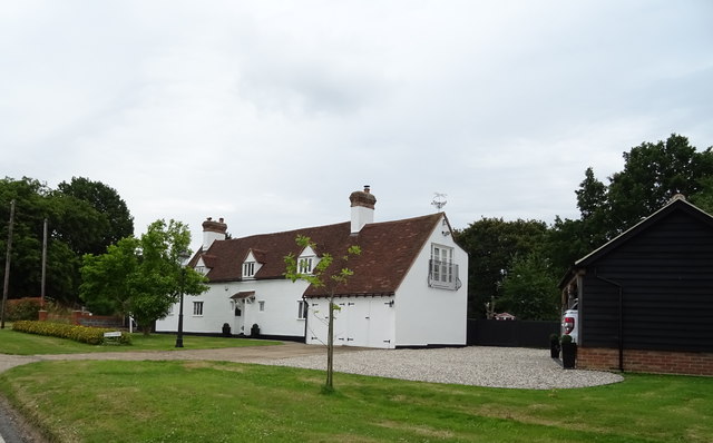
The village is surrounded by beautiful rolling hills and vast stretches of farmland, offering residents and visitors a peaceful and tranquil setting. The area is primarily residential, with a mix of traditional cottages, modern houses, and some small farms scattered throughout.

Despite its size, Thorley Wash benefits from a close-knit community and a range of amenities. The village has a local pub, The Plough, which serves as a focal point for socializing and gathering. Additionally, there is a primary school in the village, providing education for young children.

Thorley Wash is well-connected to neighboring towns and cities. The nearby Bishop's Stortford offers a wider range of amenities, including shops, restaurants, and leisure facilities. The village also benefits from excellent transport links, with easy access to major roads such as the A120 and the M11 motorway, providing convenient connections to London and other parts of the country.

For those seeking outdoor activities, Thorley Wash is surrounded by beautiful countryside, perfect for leisurely walks, cycling, or horse riding. The nearby River Stort also offers opportunities for boating and fishing.

Overall, Thorley Wash is a charming village with a strong sense of community and a peaceful rural setting, making it an attractive place to live or visit for those seeking a slower-paced lifestyle.

If you have any feedback on the listing, please let us know in the comments section below.
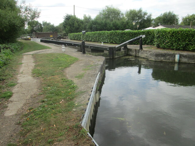
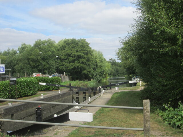
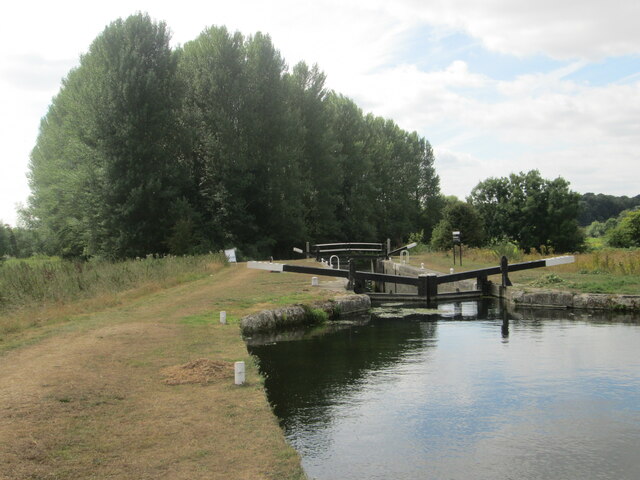
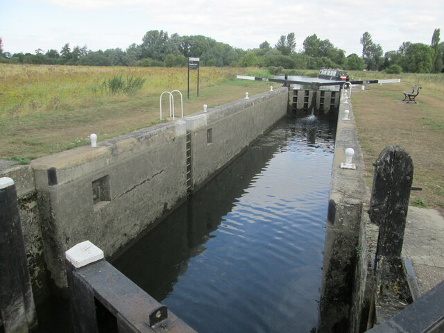
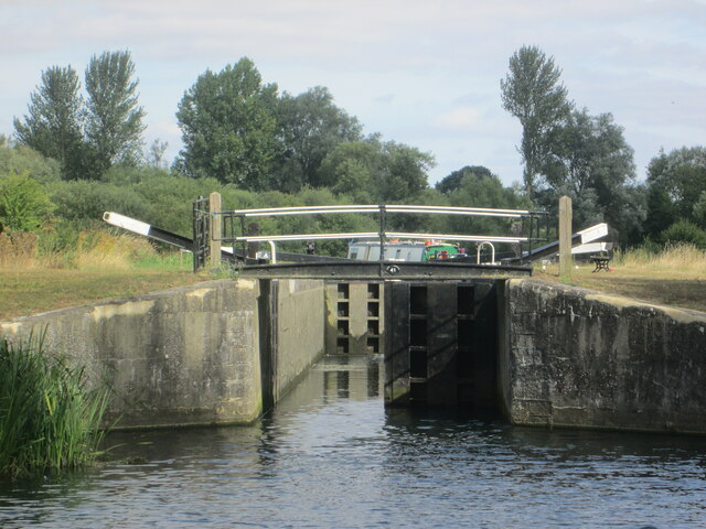
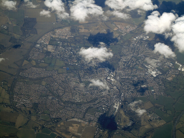
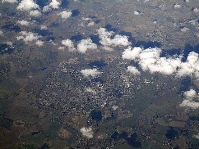
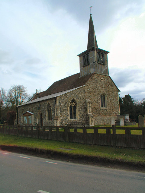
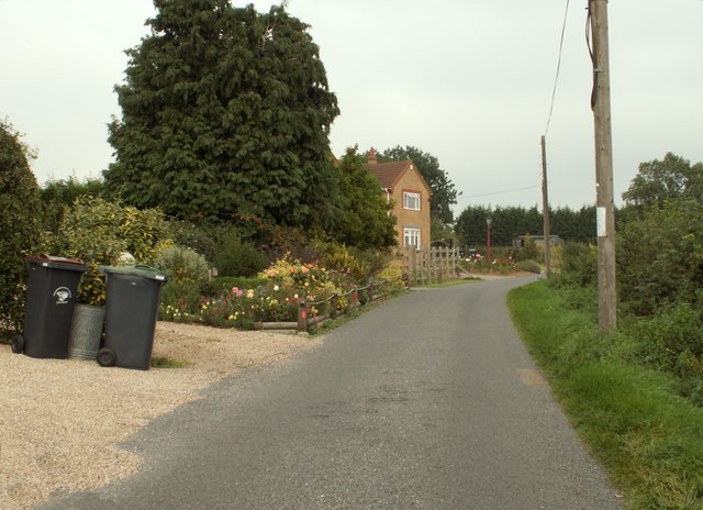
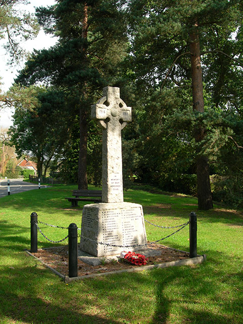
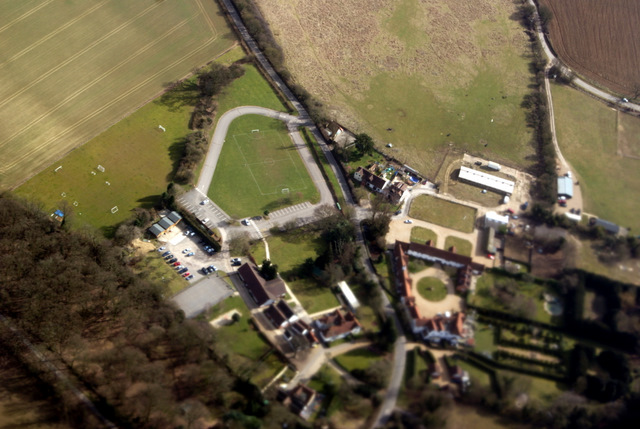
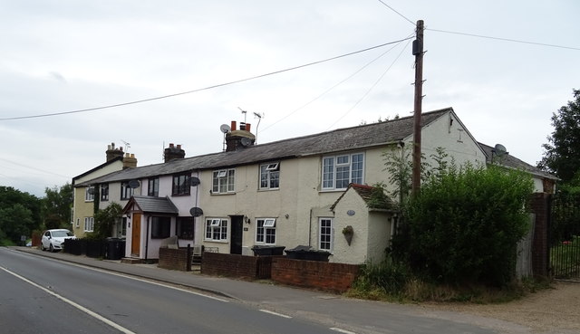
Thorley Wash Images

Images are sourced within 2km of 51.843827/0.15679916 or Grid Reference TL4818. Thanks to Geograph Open Source API. All images are credited.

Lee and Stort Navigation: Lock no 3 - Spellbrook Lock A lock situated in what appears to be a remote stretch of the route, though a look at the map reveals that the hamlet of Spellbrook is just the other side of the railway line to the west while the landmark of Wallbury (an iron-age behemoth) is alongside to the east, though it is not seen from the canal.
Lee and Stort Navigation: Lock no 3 - Spellbrook Lock
A lock situated in what appears to be a remote stretch of the route, though a look at the map reveals that the hamlet of Spellbrook is just the other side of the railway line to the west while the landmark of Wallbury (an iron-age behemoth) is alongside to the east, though it is not seen from the canal.
Lee and Stort Navigation: Lock no 3 - Spellbrook Lock - view north
Approaching Tednambury Lock
Lee and Stort Navigation: Lock no 4 Tednambury Lock After a significant bend in the canal, and the path accordingly, to the left and a dividing of the waterways, the route continues to the right due south to reveal this lock. The lock apparently takes its name from nearby Tednambury Farm.
Lee and Stort Navigation: Lock no 4 Tednambury Lock
After a significant bend in the canal, and the path accordingly, to the left and a dividing of the waterways, the route continues to the right due south to reveal this lock. The lock apparently takes its name from nearby Tednambury Farm.
Lee and Stort Navigation: Lock no 4 Tednambury Lock - from the south
Bishop's Stortford from the air Most of the town can be seen in this view from a Birmingham bound flight from Prague.
Bishop's Stortford from the air
Most of the town can be seen in this view from a Birmingham bound flight from Prague.
Bishop's Stortford from the air Looking over Thorley Street to the town from a Birmingham bound flight from Prague.
Bishop's Stortford from the air
Looking over Thorley Street to the town from a Birmingham bound flight from Prague.
St. Mary's Church, Little Hallingbury
New Barn Lane, Little Hallingbury, Essex This is by Normandale Kennels.
New Barn Lane, Little Hallingbury, Essex
This is by Normandale Kennels.
War Memorial The memorial in the grounds of St Mary's Church, Little Hallingbury commemorates the fallen of World War I.
War Memorial
The memorial in the grounds of St Mary's Church, Little Hallingbury commemorates the fallen of World War I.
Howe Green House from the air A private school near Great Hallingbury.

Click on this <span class="nowrap"><a title="http://www.howegreenhouse.essex.sch.uk/" rel="nofollow ugc noopener" href="http://www.howegreenhouse.essex.sch.uk/">Link</a><img style="margin-left:2px;" alt="External link" title="External link - shift click to open in new window" src="https://s1.geograph.org.uk/img/external.png" width="10" height="10"/></span> to go to their website.
Howe Green House from the air
A private school near Great Hallingbury. Click on this LinkExternal link to go to their website.
Small reservoir from the air Just north of Monksbury Farm
Small reservoir from the air
Just north of Monksbury Farm
Howe Green House School from the air On the outskirts of Bishop's Stortford <span class="nowrap"><a title="http://www.howegreenhouse.essex.sch.uk/" rel="nofollow ugc noopener" href="http://www.howegreenhouse.essex.sch.uk/">Link</a><img style="margin-left:2px;" alt="External link" title="External link - shift click to open in new window" src="https://s1.geograph.org.uk/img/external.png" width="10" height="10"/></span> .
Howe Green House School from the air
On the outskirts of Bishop's Stortford LinkExternal link .
Little Hallingbury The A1060 runs through the village.
Little Hallingbury
The A1060 runs through the village.
Houses on Lower Road, Little Hallingbury
Lower Road, Little Hallingbury  The A1060 towards Bishop's Stortford.
Lower Road, Little Hallingbury
The A1060 towards Bishop's Stortford.
Houses on Lower Road, Little Hallingbury
House on Church Road
Show me another place!

Thorley Wash is located at Grid Ref: TL4818 (Lat: 51.843827, Lng: 0.15679916)

Administrative County: Hertfordshire

District: East Hertfordshire

Police Authority: Hertfordshire

What 3 Words

///carry.lunch.recent. Near Little Hallingbury, Essex

Nearby Locations

Thorley Wash Thorley Wood

Related Wikis

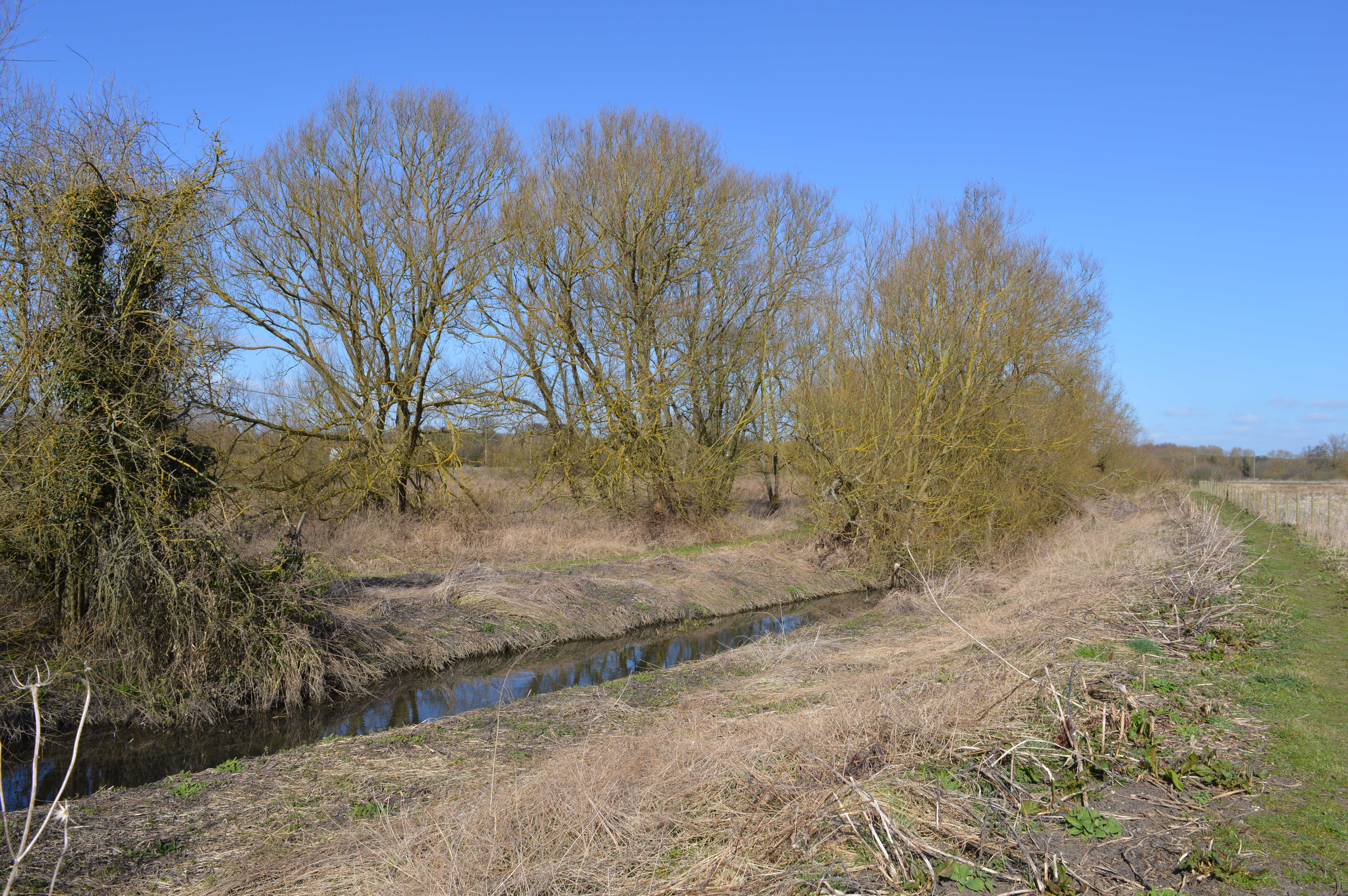
Thorley Wash nature reserve

Thorley Wash or Thorley Flood Pound is a 17.3-hectare biological Site of Special Scientific Interest in Thorley, south of Bishop's Stortford in Hertfordshire...

Thorley, Hertfordshire

Thorley is a village and civil parish in Bishops Stortford, East Hertfordshire district of Hertfordshire, England. The parish includes the hamlets of Thorley...

Spellbrook

Spellbrook is a hamlet in Hertfordshire, situated between Bishop's Stortford and Sawbridgeworth. == Location == Spellbrook is one mile south of Bishop...

Spelbrook railway station

Spelbrook railway station, also known as Spellbrook railway station, Spelbroke railway station and Spillbrook railway station served the hamlet of Spellbrook...

Nearby Amenities

Located within 500m of 51.843827,0.15679916
Barrier: stile
Material: wood
Step Count: 1
Stile: stepover
Lat/Long: 51.8430336/0.1594255
Bus Stop
Thorley Wash Grange
Bus: yes
Local Ref: NR
Naptan AtcoCode: 210021304675
Naptan Bearing: N
Naptan CommonName: Thorley Wash Grange
Naptan Crossing: Thorley Wash Grange
Naptan Indicator: nr
Naptan Landmark: Thorley Wash Grange
Naptan NaptanCode: hrtdtgjm
Naptan PlusbusZoneRef: BSHPSFD
Naptan ShortCommonName: NA
Naptan Street: A1184
Naptan Verified: no
Public Transport: platform
Source: naptan_import
Lat/Long: 51.8423139/0.1573552
Bus Stop
Thorley Wash Grange
Bus: yes
Naptan AtcoCode: 210021307800
Naptan Bearing: S
Naptan CommonName: Thorley Wash Grange
Naptan Crossing: Little Chef
Naptan Indicator: opp
Naptan Landmark: Little Chef
Naptan NaptanCode: hrtdpwdg
Naptan PlusbusZoneRef: BSHPSFD
Naptan ShortCommonName: NA
Naptan Street: A1184
Naptan Verified: no
Public Transport: platform
Source: naptan_import
Lat/Long: 51.8409936/0.1575458
Crossing Barrier: no
Railway: crossing
Lat/Long: 51.843045/0.1593478
Crossing Barrier: no
Railway: crossing
Lat/Long: 51.8430514/0.1593041
Barrier: stile
Material: wood
Step Count: 1
Stile: stepover
Lat/Long: 51.8430695/0.1591808
Information: guidepost
Note: 2013-05-07 waymark points directly across field to waymark on field edge
Tourism: information
Lat/Long: 51.8418268/0.1632975
Barrier: stile
Material: wood
Step Count: 2
Stile: stepover
Lat/Long: 51.8417831/0.1559282
Crossing
Crossing: unmarked
Crossing Island: yes
Crossing Markings: no
Tactile Paving: yes
Lat/Long: 51.8479122/0.1597276
Direction: both
Traffic Calming: bump
Lat/Long: 51.843777/0.1573729
Crossing
Lat/Long: 51.8396387/0.1571753
Crossing
Lat/Long: 51.8400928/0.1572915
Crossing
Lat/Long: 51.8401746/0.1573102
Crossing
Lat/Long: 51.8401934/0.1573144
Crossing
Lat/Long: 51.841851/0.1574469
Crossing
Lat/Long: 51.8424824/0.1575252
Car Wash
Shine Hand Car Wash
Lat/Long: 51.8421101/0.1583222
Crossing
Crossing: unmarked
Crossing Island: no
Crossing Markings: no
Tactile Paving: no
Lat/Long: 51.842352/0.1574243
Hilton Suzuki
Brand: Suzuki
Brand Wikidata: Q181642
Brand Wikipedia: en:Suzuki
Shop: car
Lat/Long: 51.8397683/0.157572
Rapid Platforms
Craft: scaffolder
Lat/Long: 51.8399206/0.157609
Barrier: debris
Lat/Long: 51.8466353/0.1548734
Direction: both
Traffic Calming: table
Lat/Long: 51.8477961/0.1551798
Crossing
Crossing: unmarked
Crossing Island: no
Crossing Markings: no
Tactile Paving: yes
Traffic Calming: table
Lat/Long: 51.8473618/0.1545796
Bus Stop
Bus: yes
Check Date: 2022-03-20
Construction: yes
Public Transport: platform
Lat/Long: 51.8473865/0.1547343
Bus Stop
Bus: yes
Check Date: 2022-03-20
Construction: yes
Public Transport: platform
Lat/Long: 51.8477041/0.1549265
Crossing
Crossing: unmarked
Crossing Island: no
Crossing Markings: no
Tactile Paving: yes
Lat/Long: 51.8475226/0.1539137
Power: pole
Lat/Long: 51.8467638/0.1613013
Power: pole
Lat/Long: 51.8468682/0.1613912
Crossing
Crossing: unmarked
Crossing Island: no
Crossing Markings: no
Tactile Paving: yes
Lat/Long: 51.8473026/0.1543031
Crossing
Crossing: unmarked
Crossing Island: no
Crossing Markings: no
Tactile Paving: yes
Lat/Long: 51.8477602/0.1552663
Crossing
Crossing: unmarked
Crossing Island: no
Crossing Markings: no
Tactile Paving: yes
Lat/Long: 51.8452067/0.158265
Crossing
Crossing: unmarked
Crossing Island: no
Crossing Markings: no
Tactile Paving: yes
Lat/Long: 51.8451799/0.1584121
Crossing
Crossing: unmarked
Crossing Island: no
Crossing Markings: no
Tactile Paving: yes
Lat/Long: 51.8475514/0.1530772
Crossing
Crossing: unmarked
Crossing Island: no
Crossing Markings: no
Tactile Paving: yes
Lat/Long: 51.8474822/0.1535616
Crossing
Crossing: unmarked
Crossing Island: no
Crossing Markings: no
Tactile Paving: yes
Lat/Long: 51.8475599/0.1533357
Barrier: swing_gate
Locked: yes
Lat/Long: 51.8467049/0.158912
Bicycle Parking
Access: private
Bicycle Parking: shed
Covered: yes
Lat/Long: 51.8481181/0.1586961
Entrance: yes
Lat/Long: 51.8481785/0.1583532
Turning Circle
Lat/Long: 51.8475008/0.1589515
Ashberry
Office: estate_agent
Lat/Long: 51.847385/0.1543851
Direction: 115
Man Made: surveillance
Surveillance: webcam
Surveillance Zone: area
Website: https://sparkbishopsstortford.co.uk/on-site-progress/
Lat/Long: 51.8466511/0.1555591
The data included in this document is from www.openstreetmap.org. The data is made available under ODbL.

Have you been to Thorley Wash?

Leave your review of Thorley Wash below (or comments, questions and feedback).