Thorley Wood

Wood, Forest in Hertfordshire East Hertfordshire

England

Thorley Wood

Lee and Stort Navigation: Lock no 3 - Spellbrook Lock A lock situated in what appears to be a remote stretch of the route, though a look at the map reveals that the hamlet of Spellbrook is just the other side of the railway line to the west while the landmark of Wallbury (an iron-age behemoth) is alongside to the east, though it is not seen from the canal.
Lee and Stort Navigation: Lock no 3 - Spellbrook Lock Credit: Peter S

Thorley Wood is a picturesque woodland located in Hertfordshire, England. Covering an area of approximately 50 acres, it is a popular destination for nature lovers and outdoor enthusiasts. The wood is situated on the outskirts of the historic market town of Bishop's Stortford, offering a tranquil escape from the hustle and bustle of urban life.

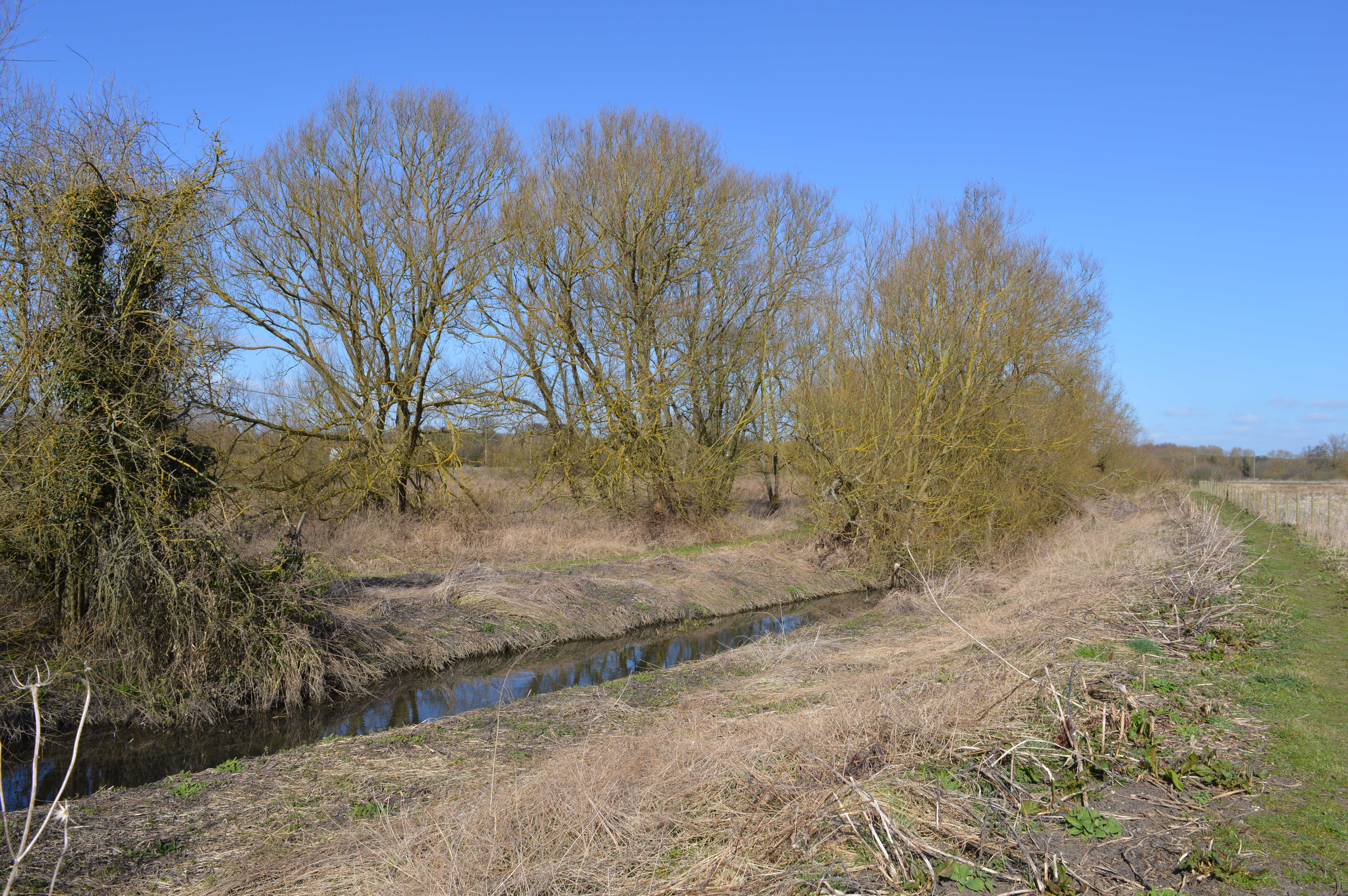
The woodland is predominantly composed of oak, beech, and birch trees, creating a rich and diverse ecosystem. The dense canopy provides shade during the hot summer months, while the forest floor is adorned with a carpet of wildflowers, ferns, and mosses. In spring, the wood comes alive with the vibrant colors of bluebells, creating a breathtaking sight.

Thorley Wood is crossed by several well-maintained footpaths and trails, allowing visitors to explore its natural beauty at their own pace. The paths wind through the trees, offering glimpses of wildlife such as deer, squirrels, and a variety of bird species.

The wood also features a small pond, providing a habitat for frogs, newts, and other aquatic creatures. It is a popular spot for birdwatching, as many species can be spotted around the water's edge.

Throughout the year, Thorley Wood hosts various events and activities, including guided nature walks, educational programs, and conservation initiatives. These initiatives aim to raise awareness about the importance of preserving and protecting the woodland and its inhabitants.

Overall, Thorley Wood is a haven for nature enthusiasts, offering a tranquil and scenic retreat for those seeking solace in the beauty of the natural world.

If you have any feedback on the listing, please let us know in the comments section below.
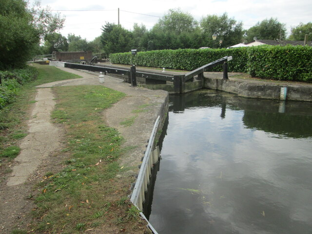
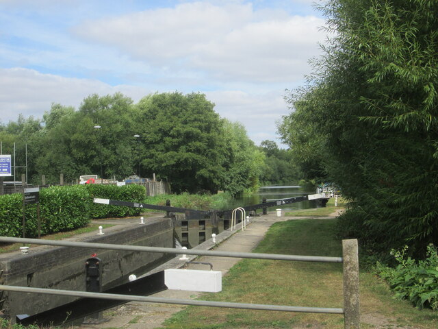
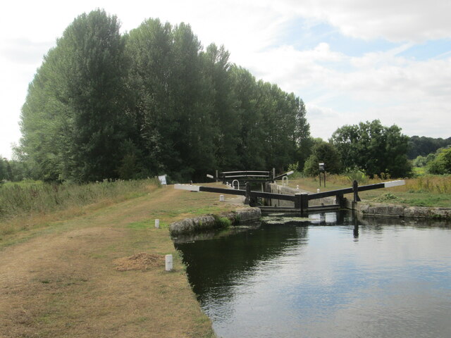
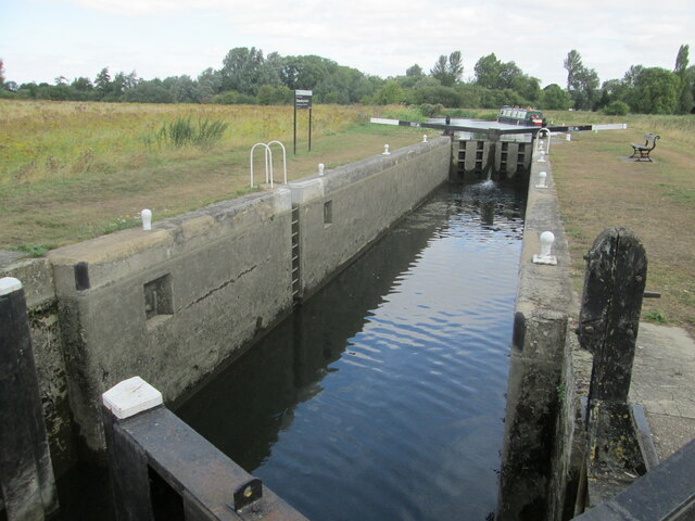
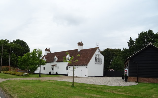
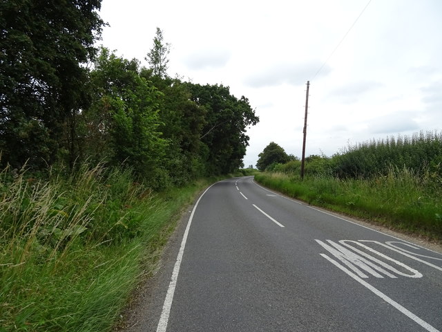
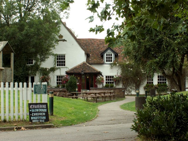
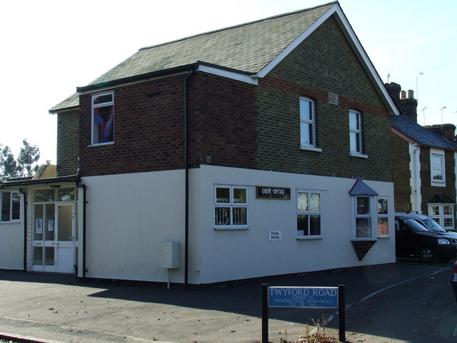
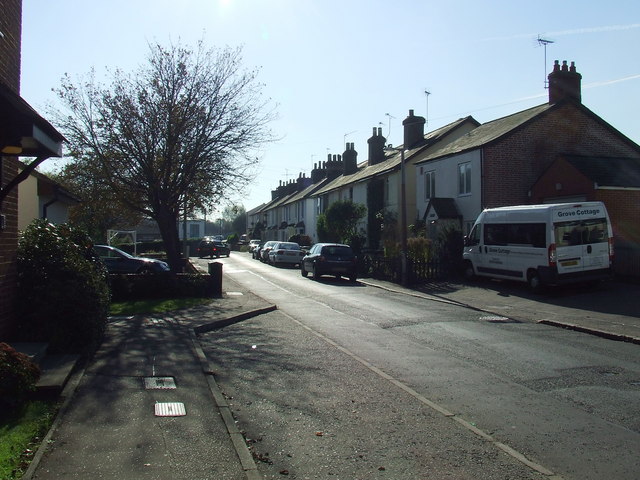
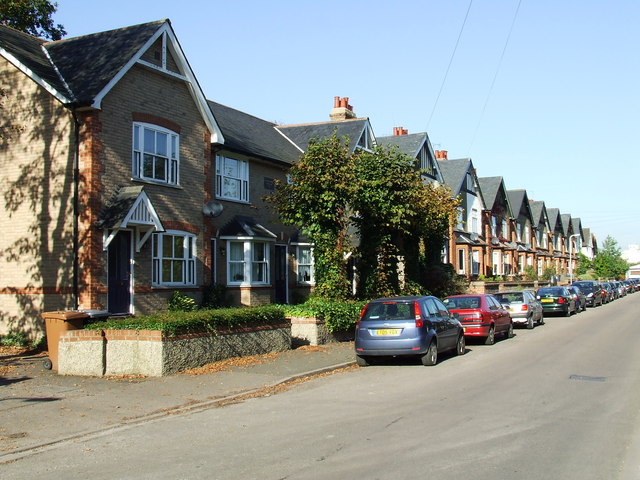
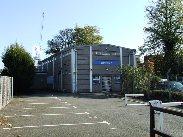
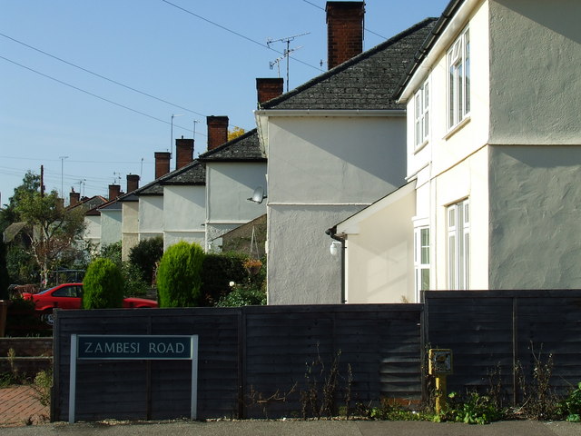
Thorley Wood Images

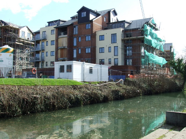
Images are sourced within 2km of 51.845697/0.15237328 or Grid Reference TL4818. Thanks to Geograph Open Source API. All images are credited.

Lee and Stort Navigation: Lock no 3 - Spellbrook Lock A lock situated in what appears to be a remote stretch of the route, though a look at the map reveals that the hamlet of Spellbrook is just the other side of the railway line to the west while the landmark of Wallbury (an iron-age behemoth) is alongside to the east, though it is not seen from the canal.
Lee and Stort Navigation: Lock no 3 - Spellbrook Lock
A lock situated in what appears to be a remote stretch of the route, though a look at the map reveals that the hamlet of Spellbrook is just the other side of the railway line to the west while the landmark of Wallbury (an iron-age behemoth) is alongside to the east, though it is not seen from the canal.
Lee and Stort Navigation: Lock no 3 - Spellbrook Lock - view north
Approaching Tednambury Lock
Lee and Stort Navigation: Lock no 4 Tednambury Lock After a significant bend in the canal, and the path accordingly, to the left and a dividing of the waterways, the route continues to the right due south to reveal this lock. The lock apparently takes its name from nearby Tednambury Farm.
Lee and Stort Navigation: Lock no 4 Tednambury Lock
After a significant bend in the canal, and the path accordingly, to the left and a dividing of the waterways, the route continues to the right due south to reveal this lock. The lock apparently takes its name from nearby Tednambury Farm.
Lee and Stort Navigation: Lock no 4 Tednambury Lock - from the south
Bishop's Stortford from the air Most of the town can be seen in this view from a Birmingham bound flight from Prague.
Bishop's Stortford from the air
Most of the town can be seen in this view from a Birmingham bound flight from Prague.
Bishop's Stortford from the air Looking over Thorley Street to the town from a Birmingham bound flight from Prague.
Bishop's Stortford from the air
Looking over Thorley Street to the town from a Birmingham bound flight from Prague.
Houses on Lower Road, Little Hallingbury
House on Church Road
Church Road towards Great Hallingbury
'The Harvest Moon' inn, Bishop's Stortford, Herts. This building was once the farmhouse of Piggot's Farm.
'The Harvest Moon' inn, Bishop's Stortford, Herts.
This building was once the farmhouse of Piggot's Farm.
Graffiti The wall was freshly painted summer 2006, and these graffiti appeared within a few days. The wall is just to the north of the railway bridge where it crosses the River Stort and the footpath.
Graffiti
The wall was freshly painted summer 2006, and these graffiti appeared within a few days. The wall is just to the north of the railway bridge where it crosses the River Stort and the footpath.
Grove Cottage Bishop's Stortford MENCAP building on London Road.
Grove Cottage
Bishop's Stortford MENCAP building on London Road.
Twyford Road Viewed from the London Road end of the road.
Twyford Road
Viewed from the London Road end of the road.
Southmill Road South Lodge Cottages are nearest the camera.
Southmill Road
South Lodge Cottages are nearest the camera.
JobCentre Appears to be closed!
JobCentre
Appears to be closed!
Rhodes Avenue Viewed from Zambesi Road.
Rhodes Avenue
Viewed from Zambesi Road.
New Flats Part of a large complex under construction by the River Stort, south of the railway station.
New Flats
Part of a large complex under construction by the River Stort, south of the railway station.
Show me another place!

Thorley Wood is located at Grid Ref: TL4818 (Lat: 51.845697, Lng: 0.15237328)

Administrative County: Hertfordshire

District: East Hertfordshire

Police Authority: Hertfordshire

What 3 Words

///spirit.dome.jolly. Near Little Hallingbury, Essex

Nearby Locations

Thorley Wood Thorley Wash

Related Wikis

Thorley, Hertfordshire

Thorley is a village and civil parish in Bishops Stortford, East Hertfordshire district of Hertfordshire, England. The parish includes the hamlets of Thorley...

Thorley Wash nature reserve

Thorley Wash or Thorley Flood Pound is a 17.3-hectare biological Site of Special Scientific Interest in Thorley, south of Bishop's Stortford in Hertfordshire...

Spellbrook

Spellbrook is a hamlet in Hertfordshire, situated between Bishop's Stortford and Sawbridgeworth. == Location == Spellbrook is one mile south of Bishop...

Spelbrook railway station

Spelbrook railway station, also known as Spellbrook railway station, Spelbroke railway station and Spillbrook railway station served the hamlet of Spellbrook...

The Bishop's Stortford High School

The Bishop's Stortford High School (often abbreviated to TBSHS) is a comprehensive secondary school, with a coeducational sixth form, in Bishop's Stortford...

Little Hallingbury Marsh

Little Hallingbury Marsh is a 4.5-hectare (11-acre) biological Site of Special Scientific Interest adjacent to the River Stort, west of Little Hallingbury...

Rushy Mead

Rushy Mead is a 4.6-hectare (11-acre) nature reserve on the bank of the River Stort in Essex, between Sawbridgeworth and Bishop's Stortford. Until the...

Little Hallingbury

Little Hallingbury is a small village and a civil parish in the Uttlesford district of Essex, England. == Geography == Little Hallingbury parish is on...

Nearby Amenities

Located within 500m of 51.845697,0.15237328
Barrier: stile
Material: wood
Step Count: 2
Stile: stepover
Lat/Long: 51.8417831/0.1559282
Barrier: height_restrictor
Lat/Long: 51.8462572/0.147444
Barrier: height_restrictor
Lat/Long: 51.8460528/0.1476372
Direction: both
Traffic Calming: bump
Lat/Long: 51.843777/0.1573729
Barrier: debris
Lat/Long: 51.8466353/0.1548734
Crossing
Crossing: zebra
Crossing Island: no
Crossing Markings: zebra
Source: survey
Tactile Paving: yes
Traffic Calming: table
Lat/Long: 51.8492946/0.1557527
Direction: both
Traffic Calming: table
Lat/Long: 51.8477961/0.1551798
Crossing
Crossing: unmarked
Crossing Island: no
Crossing Markings: no
Tactile Paving: yes
Traffic Calming: table
Lat/Long: 51.8473618/0.1545796
Bus Stop
Bus: yes
Check Date: 2022-03-20
Construction: yes
Public Transport: platform
Lat/Long: 51.8473865/0.1547343
Bus Stop
Bus: yes
Check Date: 2022-03-20
Construction: yes
Public Transport: platform
Lat/Long: 51.8477041/0.1549265
Bellway
Office: estate_agent
Website: https://www.bellway.co.uk/new-homes/north-london/st-james-park
Lat/Long: 51.8484311/0.1558202
Crossing
Crossing: unmarked
Crossing Island: no
Crossing Markings: no
Tactile Paving: yes
Lat/Long: 51.8475226/0.1539137
Power: pole
Lat/Long: 51.8473587/0.1488867
Power: pole
Lat/Long: 51.8472095/0.1481464
Power: pole
Lat/Long: 51.8462485/0.147665
Power: pole
Lat/Long: 51.8453148/0.1471406
Power: pole
Lat/Long: 51.8444249/0.1466846
Crossing
Crossing: unmarked
Crossing Island: no
Crossing Markings: no
Tactile Paving: yes
Lat/Long: 51.8473026/0.1543031
Crossing
Crossing: unmarked
Crossing Island: no
Crossing Markings: no
Tactile Paving: yes
Lat/Long: 51.848795/0.1555108
Direction: both
Traffic Calming: table
Lat/Long: 51.8483855/0.1555282
Crossing
Crossing: unmarked
Crossing Island: no
Crossing Markings: no
Tactile Paving: yes
Lat/Long: 51.8477602/0.1552663
Crossing
Crossing: unmarked
Crossing Island: no
Crossing Markings: no
Tactile Paving: yes
Lat/Long: 51.8452067/0.158265
Crossing
Crossing: unmarked
Crossing Island: no
Crossing Markings: no
Tactile Paving: yes
Lat/Long: 51.8451799/0.1584121
Crossing
Crossing: unmarked
Crossing Island: no
Crossing Markings: no
Tactile Paving: yes
Lat/Long: 51.8492128/0.1507887
Direction: both
Traffic Calming: table
Lat/Long: 51.8494005/0.1497903
Crossing
Crossing: unmarked
Crossing Island: no
Crossing Markings: no
Tactile Paving: no
Lat/Long: 51.8482659/0.1554971
Crossing
Crossing: unmarked
Crossing Island: no
Crossing Markings: no
Tactile Paving: yes
Lat/Long: 51.8475514/0.1530772
Crossing
Crossing: unmarked
Crossing Island: no
Crossing Markings: no
Tactile Paving: yes
Lat/Long: 51.8474822/0.1535616
Crossing
Crossing: unmarked
Crossing Island: no
Crossing Markings: no
Tactile Paving: yes
Lat/Long: 51.8482538/0.1513555
Direction: both
Traffic Calming: table
Lat/Long: 51.8479863/0.1519481
Crossing
Crossing: unmarked
Crossing Island: no
Crossing Markings: no
Tactile Paving: yes
Lat/Long: 51.8480472/0.1520219
Crossing
Crossing: unmarked
Crossing Island: no
Crossing Markings: no
Tactile Paving: yes
Lat/Long: 51.8475599/0.1533357
Crossing
Crossing: unmarked
Crossing Island: no
Crossing Markings: no
Tactile Paving: no
Lat/Long: 51.847795/0.1523195
Crossing
Crossing: unmarked
Crossing Island: no
Crossing Markings: no
Tactile Paving: yes
Lat/Long: 51.8479505/0.1520603
Crossing
Crossing: unmarked
Crossing Island: no
Crossing Markings: no
Tactile Paving: yes
Lat/Long: 51.8486348/0.1515001
Crossing
Crossing: unmarked
Crossing Island: no
Crossing Markings: no
Tactile Paving: yes
Lat/Long: 51.8493728/0.1497797
Crossing
Crossing: unmarked
Crossing Markings: no
Lat/Long: 51.8477063/0.1525157
Barrier: swing_gate
Locked: yes
Lat/Long: 51.8467049/0.158912
Crossing
Crossing: unmarked
Crossing Island: no
Crossing Markings: no
Tactile Paving: yes
Lat/Long: 51.8495759/0.1494087
Entrance: yes
Lat/Long: 51.8481785/0.1583532
Turning Circle
Lat/Long: 51.8475008/0.1589515
Ashberry
Office: estate_agent
Lat/Long: 51.847385/0.1543851
Direction: 115
Man Made: surveillance
Surveillance: webcam
Surveillance Zone: area
Website: https://sparkbishopsstortford.co.uk/on-site-progress/
Lat/Long: 51.8466511/0.1555591
Check Date: 2024-04-11
Proposed Playground: structure
Lat/Long: 51.8492834/0.1490515
Crossing
Crossing: unmarked
Crossing Island: no
Crossing Markings: no
Tactile Paving: yes
Lat/Long: 51.8483747/0.1556367
The data included in this document is from www.openstreetmap.org. The data is made available under ODbL.

Have you been to Thorley Wood?

Leave your review of Thorley Wood below (or comments, questions and feedback).