The Lymes

Settlement in Staffordshire Newcastle-under-Lyme

England

The Lymes

Keele Hall, Keele This historic house now forms part of the campus of the University of Keele. Some of the grounds of the house still also survive.
Keele Hall, Keele Credit: Angella Streluk

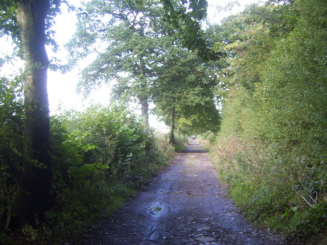
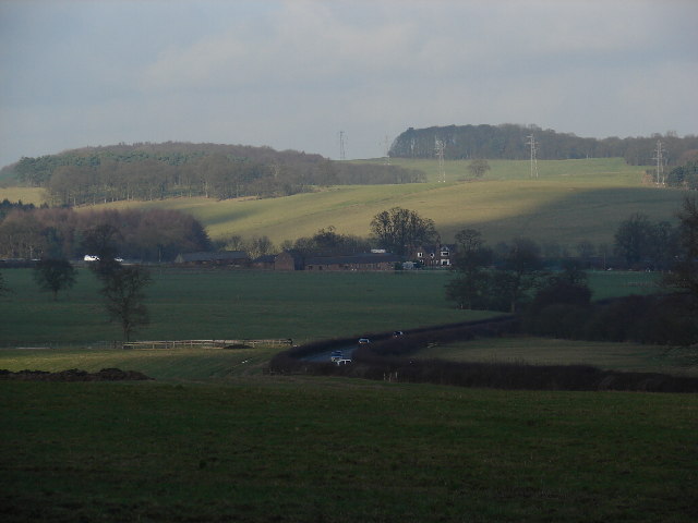
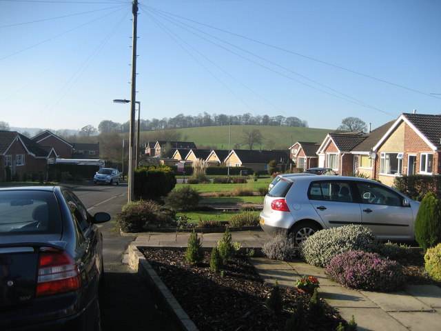
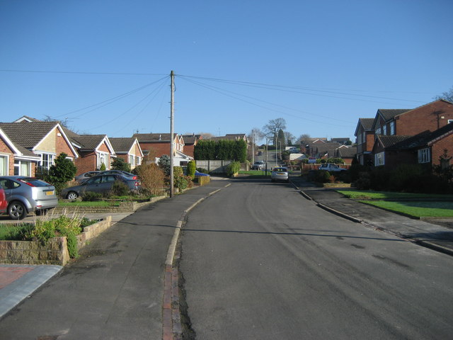
The Lymes is a charming village located in Staffordshire, England. Situated on the outskirts of the town of Newcastle-under-Lyme, it offers a peaceful and picturesque setting for its residents. The village is known for its traditional English countryside beauty, with rolling hills, lush green fields, and quaint cottages dotting the landscape.

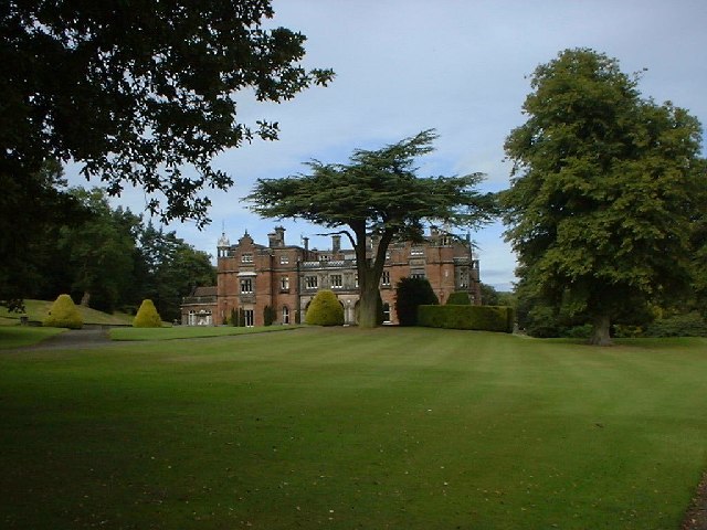
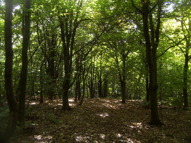
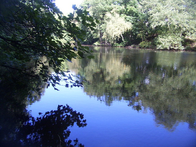
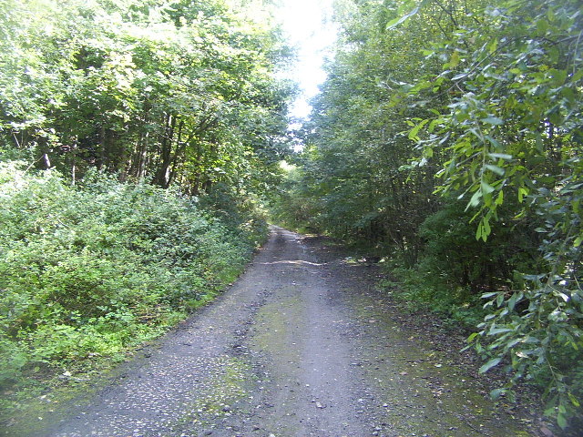
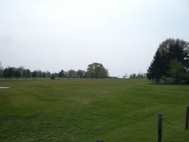
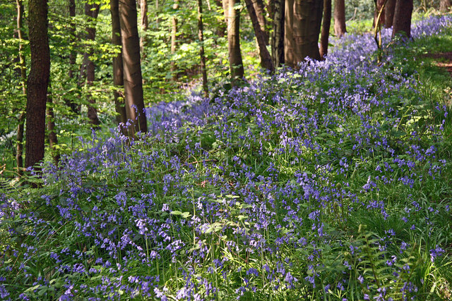
One of the notable features of The Lymes is its close proximity to the Lyme Valley Country Park. This expansive park covers over 140 acres of woodland, meadows, and wetlands, providing ample opportunities for outdoor activities such as walking, cycling, and birdwatching. The park is also home to a variety of wildlife, including deer, rabbits, and numerous bird species.

The village itself boasts a tight-knit community, with friendly residents who take pride in their surroundings. The Lymes has a small but well-equipped local shop, offering convenience to its residents for everyday needs. Additionally, there are several pubs and eateries in the area, providing a cozy atmosphere for locals and visitors alike to enjoy traditional British cuisine and ales.

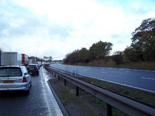
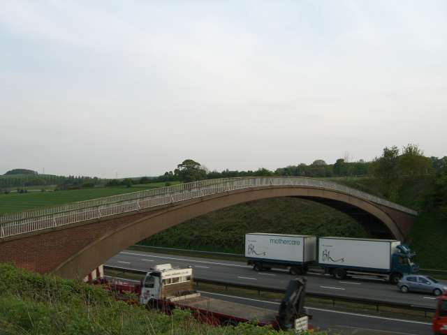
The Lymes is conveniently located near major transport links, with easy access to the A34 and A53 roads, making it well-connected to larger towns and cities in the region. The nearby town of Newcastle-under-Lyme offers a wider range of amenities, including shopping centers, leisure facilities, and educational institutions.

Overall, The Lymes is a tranquil and idyllic village that offers a high quality of life for its residents, blending natural beauty with modern convenience.

If you have any feedback on the listing, please let us know in the comments section below.
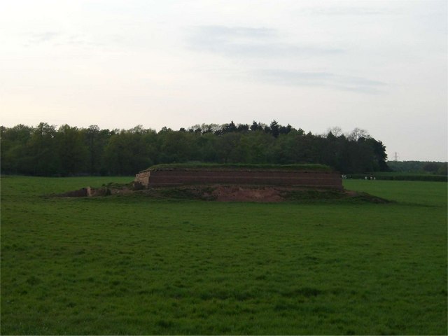
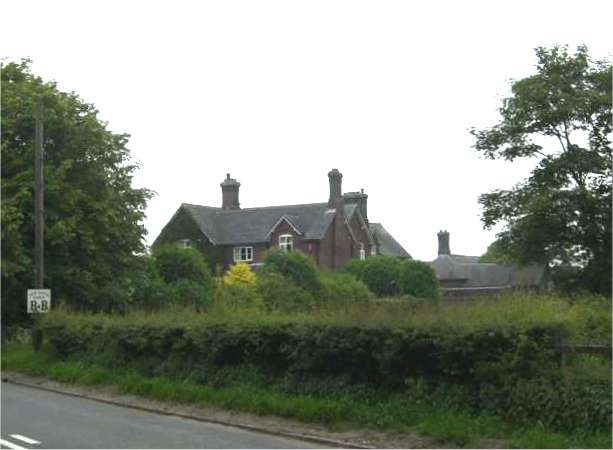
The Lymes Images

Images are sourced within 2km of 52.986295/-2.259531 or Grid Reference SJ8243. Thanks to Geograph Open Source API. All images are credited.

Keele Hall, Keele This historic house now forms part of the campus of the University of Keele. Some of the grounds of the house still also survive.
Keele Hall, Keele
This historic house now forms part of the campus of the University of Keele. Some of the grounds of the house still also survive.
Woods near Keele University An early autumn day in the woods near Keele University. A lot of this square is open woodland that used to form the grounds of Keele Hall. Since the University took over the Hall and its 617 acre grounds, this area is now public access, with many footpaths among the trees and ponds.
Woods near Keele University
An early autumn day in the woods near Keele University. A lot of this square is open woodland that used to form the grounds of Keele Hall. Since the University took over the Hall and its 617 acre grounds, this area is now public access, with many footpaths among the trees and ponds.
Pool near Keele Hall This is the lowermost of the ponds that extend south-east from Keele Hall <a href="https://www.geograph.org.uk/photo/14295">SJ8144 : Keele Hall, Keele</a> towards Springpool Wood. There are many possible walks around the area.
Pool near Keele Hall
This is the lowermost of the ponds that extend south-east from Keele Hall SJ8144 : Keele Hall, Keele towards Springpool Wood. There are many possible walks around the area.
The Lymes Road According to the 1940s map, this was originally a B-road, leading down to The Lymes, also in this square. Now it is only a loose-cobbled track running between Keele village and The Lymes. It also serves as a bridleway. Here is it seen just before it passes underneath the M6, which it now runs next to.
The Lymes Road
According to the 1940s map, this was originally a B-road, leading down to The Lymes, also in this square. Now it is only a loose-cobbled track running between Keele village and The Lymes. It also serves as a bridleway. Here is it seen just before it passes underneath the M6, which it now runs next to.
The Lymes Road More of The Lymes Road (see <a href="https://www.geograph.org.uk/gridref/SJ8243">SJ8243</a>), which runs between Keele village and The Lymes farm.
The Lymes Road
More of The Lymes Road (see SJ8243), which runs between Keele village and The Lymes farm.
The Clock House The Clock House, part of Keele University. It also houses the Music Department and has an attractive rock-cutting entrance.
The Clock House
The Clock House, part of Keele University. It also houses the Music Department and has an attractive rock-cutting entrance.
M6 Northbound Congestion. Just after junction 15 north on Friday 2 Dec 2005 note the lack of traffic on the southbound carriageway.
M6 Northbound Congestion.
Just after junction 15 north on Friday 2 Dec 2005 note the lack of traffic on the southbound carriageway.
Green Fields near The Lymes Looking down over some very "English" green fields over the A53 towards The Lymes farm from the road up to Shutlanehead. For anyone wishing to travel along the track from Shutlanehead to The Pleck, be warned that there's not really a track and it's pretty inaccessible at the best of times.
Green Fields near The Lymes
Looking down over some very "English" green fields over the A53 towards The Lymes farm from the road up to Shutlanehead. For anyone wishing to travel along the track from Shutlanehead to The Pleck, be warned that there's not really a track and it's pretty inaccessible at the best of times.
Kennet  Close Newcastle-under-Lyme Looking down the road towards Rowley Wood.
Kennet Close Newcastle-under-Lyme
Looking down the road towards Rowley Wood.
Kennet Close looking in the other direction from picture <a href="https://www.geograph.org.uk/photo/327505">SJ8443 : Kennet  Close Newcastle-under-Lyme</a>
Kennet Close
looking in the other direction from picture SJ8443 : Kennet Close Newcastle-under-Lyme
Newcastle Golf Club - Clubhouse
Newcastle Golf Club View across the golf course from just in front of the clubhouse.
Newcastle Golf Club
View across the golf course from just in front of the clubhouse.
Footbridge over the M6
Reservoir This small reservoir is in a field alongside the A534. The small wood behind it is the entertainingly named "Pie Rough".
Reservoir
This small reservoir is in a field alongside the A534. The small wood behind it is the entertainingly named "Pie Rough".
Keele Woods in spring The lower part of the woods of Keele University are full of bluebells in early spring. Here they are seen at their best in dappled sunshine.
Keele Woods in spring
The lower part of the woods of Keele University are full of bluebells in early spring. Here they are seen at their best in dappled sunshine.
National Angling Centre Two of the six designers pools forming the National Angling Centre at Whitmore near Newcastle under Lyme.
National Angling Centre
Two of the six designers pools forming the National Angling Centre at Whitmore near Newcastle under Lyme.
National Angling Centre This part of a huge fishing centre which includes lakes, designer match pools an arena and even an artificial canal!
National Angling Centre
This part of a huge fishing centre which includes lakes, designer match pools an arena and even an artificial canal!
New Hayes Farm
New Hayes Farm
Show me another place!

The Lymes is located at Grid Ref: SJ8243 (Lat: 52.986295, Lng: -2.259531)

Administrative County: Staffordshire

District: Newcastle-under-Lyme

Police Authority: Staffordshire

What 3 Words

///factor.input.preoccupied. Near Newcastle under Lyme, Staffordshire

Related Wikis

Seabridge

Seabridge is a suburb of Newcastle-under-Lyme in Staffordshire, England. The origin of the name "Seabridge" is unknown as it is situated in the midlands...

Keele (ward)

Keele Ward is a local council ward in the borough of Newcastle-under-Lyme. It covers the village of Keele and the neighbouring University of Keele's campus...

Loggerheads and Whitmore (ward)

Loggerheads and Whitmore ward was a ward in the Borough of Newcastle-under-Lyme, in the county of Staffordshire, England. It covered, amongst others, the...
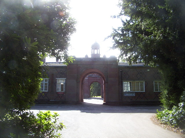
Keele Hall

Keele Hall is a 19th-century mansion house at Keele, Staffordshire, England, now standing on the campus of Keele University and serving as the university...

Nearby Amenities

Located within 500m of 52.986295,-2.259531
Source: gps_tracks
Lat/Long: 52.9888174/-2.2558851
Bus Stop
Lymes Road
Bus: yes
Naptan AtcoCode: 3800C525301
Naptan Bearing: NE
Naptan CommonName: Lymes Road
Naptan Indicator: Adj
Naptan Landmark: Lymes Rd
Naptan PlusbusZoneRef: STOKEOT
Naptan Street: Whitmore Road
Naptan Verified: no
Public Transport: platform
Source: naptan_import
Lat/Long: 52.9867892/-2.2589271
Bus Stop
Butterton Lane
Bus: yes
Naptan AtcoCode: 3800C525302
Naptan Bearing: SW
Naptan CommonName: Butterton Lane
Naptan Indicator: Adj
Naptan Landmark: Butterton Lane
Naptan PlusbusZoneRef: STOKEOT
Naptan Street: Whitmore Road
Naptan Verified: no
Public Transport: platform
Source: naptan_import
Lat/Long: 52.9866185/-2.2588515
Power: tower
Source: Bing
Lat/Long: 52.989889/-2.2558358
Power: tower
Source: Bing
Lat/Long: 52.98852/-2.2535401
Material: wood
Power: pole
Lat/Long: 52.9890251/-2.2618748
Material: wood
Power: pole
Lat/Long: 52.9895184/-2.2641551
Material: wood
Power: pole
Lat/Long: 52.9892939/-2.262901
The data included in this document is from www.openstreetmap.org. The data is made available under ODbL.

Have you been to The Lymes?

Leave your review of The Lymes below (or comments, questions and feedback).