Tentergate
Settlement in Yorkshire Harrogate
England
Tentergate

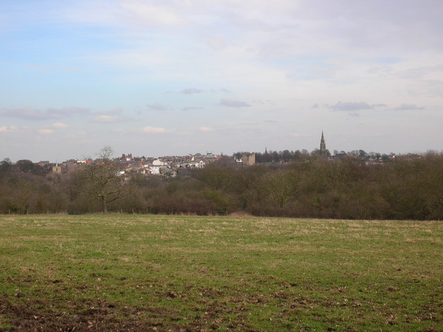
Tentergate is a quaint village located in the heart of Yorkshire, England. Situated in the scenic countryside, it is known for its picturesque landscapes, charming cottages, and rich history. Tentergate is part of the larger district of Yorkshire Dales National Park, adding to its appeal for nature enthusiasts and outdoor adventurers.
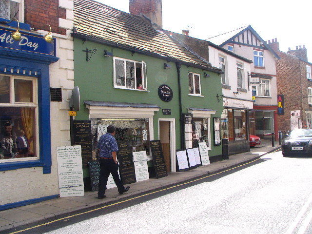
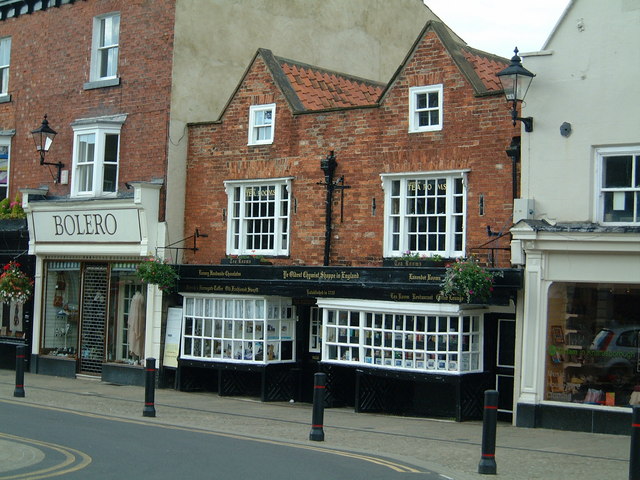
The village is home to a tight-knit community that takes great pride in preserving its heritage. With origins dating back to the medieval era, Tentergate still retains many of its original features, including traditional stone buildings and narrow cobbled streets. Walking through the village feels like stepping back in time, with its well-preserved historic architecture.
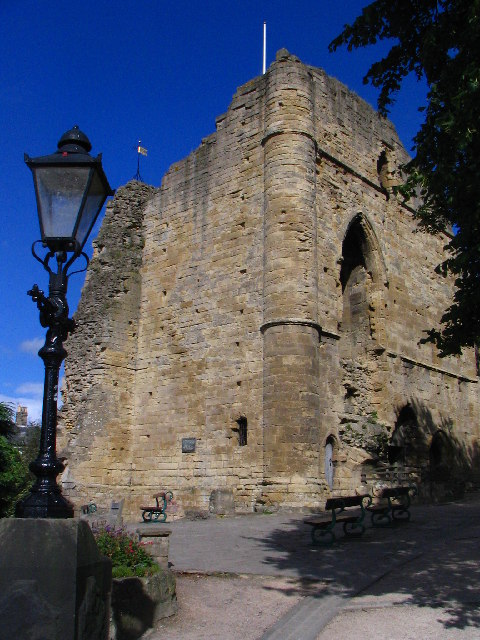
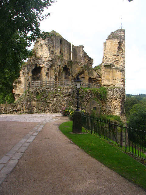
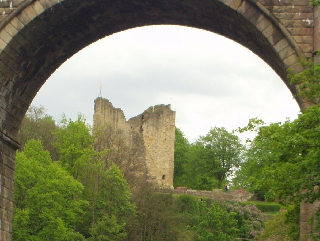
For those interested in history, Tentergate offers several attractions. The Tentergate Museum provides an insight into the village’s past, showcasing artifacts and exhibits that delve into its agricultural and industrial roots. Additionally, the nearby Tentergate Castle ruins are a popular destination for history buffs, offering a glimpse into the area's medieval past.
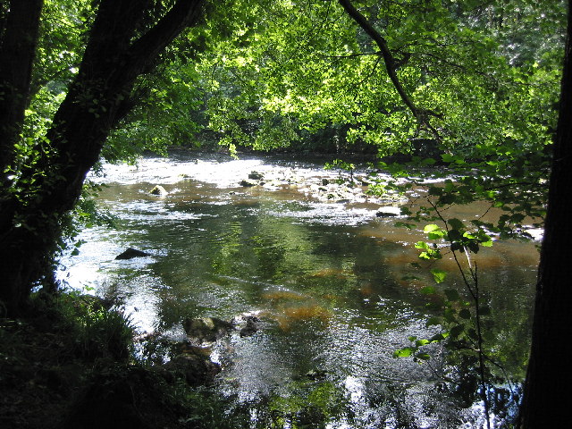
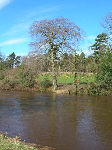
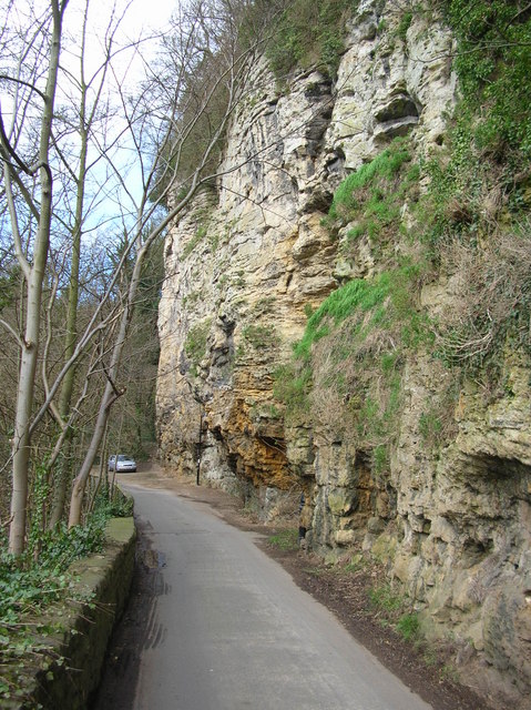
Nature lovers will find themselves at home in Tentergate, as the village is surrounded by breathtaking scenery. The rolling hills and lush green fields provide endless opportunities for hiking, cycling, and exploring the outdoors. There are numerous walking trails that cater to all levels of fitness, allowing visitors to enjoy the beauty of the Yorkshire countryside.
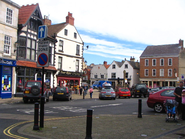
Tentergate also boasts a vibrant local community, with several shops, pubs, and eateries dotted throughout the village. These establishments offer a taste of traditional Yorkshire cuisine and a chance to interact with friendly locals.
In summary, Tentergate is a captivating village that seamlessly blends history, natural beauty, and community spirit. It is an idyllic destination for those seeking tranquility, outdoor activities, and a glimpse into the past.
If you have any feedback on the listing, please let us know in the comments section below.
Tentergate Images
Images are sourced within 2km of 54.013702/-1.4738667 or Grid Reference SE3457. Thanks to Geograph Open Source API. All images are credited.

Tentergate is located at Grid Ref: SE3457 (Lat: 54.013702, Lng: -1.4738667)
Division: West Riding
Administrative County: North Yorkshire
District: Harrogate
Police Authority: North Yorkshire
What 3 Words
///grading.desiring.nitrate. Near Knaresborough, North Yorkshire
Nearby Locations
Related Wikis

Knaresborough Zoo
Knaresborough Zoo was a zoo located in the grounds of Conyngham Hall, Knaresborough, a small market town within the district of Harrogate, North Yorkshire...

St John the Baptist Church, Knaresborough
St John the Baptist Church is a parish church in the Church of England located in Knaresborough, North Yorkshire. It is the largest church in the town...

Jacob Smith Park
Jacob Smith Park is a park owned by Harrogate Borough Council in the outskirts of Knaresborough, North Yorkshire, England. It is located in Scriven, and...

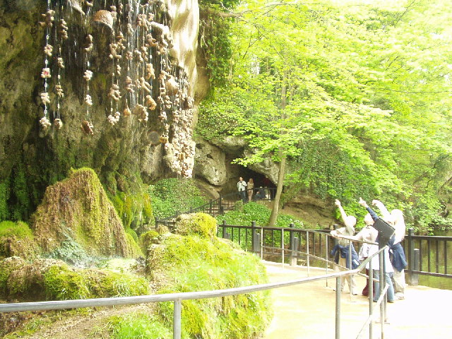
Mother Shipton's Cave
Mother Shipton's Cave (or "Old Mother Shipton's Cave") is at Knaresborough, North Yorkshire, England, near the River Nidd. Nearby is a petrifying well...

Knaresborough railway station
Knaresborough railway station is a Grade II listed station serving the town of Knaresborough in North Yorkshire, England. It is located on the Harrogate...

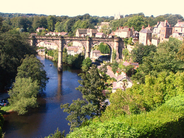
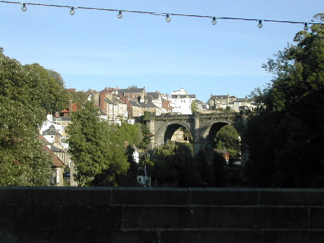
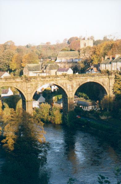
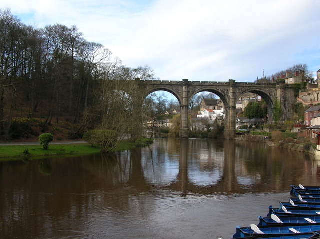
Knaresborough Viaduct
Knaresborough Viaduct is a viaduct in the North Yorkshire town of Knaresborough, England. The viaduct carries the Harrogate line over the River Nidd in...
Nidderdale Rural District
Nidderdale was a rural district in the West Riding of Yorkshire from 1938 to 1974. It was created from the combination of most of the disbanded rural districts...

Knaresborough
Knaresborough ( NAIRZ-bər-ə) is a market and spa town and civil parish on the River Nidd in North Yorkshire, England. It is three miles (five kilometres...
Nearby Amenities
Located within 500m of 54.013702,-1.4738667Have you been to Tentergate?
Leave your review of Tentergate below (or comments, questions and feedback).