Badgers Hill
Hill, Mountain in Yorkshire Harrogate
England
Badgers Hill

Badgers Hill is a prominent hill located in the county of Yorkshire, England. Situated in the Yorkshire Dales National Park, it is part of a stunning landscape renowned for its natural beauty and diverse wildlife. Rising to an elevation of approximately 400 meters (1,312 feet), Badgers Hill offers breathtaking panoramic views of the surrounding countryside.
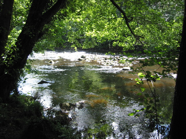
The hill itself is characterized by its rugged terrain, with steep slopes covered in grass and heather. It is predominantly composed of millstone grit, a type of sandstone that is common in the region. The rocky crags and outcrops that dot the landscape add to the hill's dramatic appeal.
Badgers Hill is home to a variety of flora and fauna, making it an ideal spot for nature enthusiasts. The hillside is adorned with vibrant wildflowers during the summer months, attracting an array of butterflies and bees. It is also a habitat for several bird species, such as kestrels and curlews, which can often be spotted soaring above.
For outdoor enthusiasts, Badgers Hill offers excellent opportunities for walking and hiking. There are various trails and footpaths that wind their way up the hill, providing visitors with different routes to explore. The ascent may be challenging at times, but the reward of reaching the summit and taking in the breathtaking vistas is well worth the effort.
In conclusion, Badgers Hill in Yorkshire is a captivating and picturesque natural landmark. With its rugged terrain, diverse wildlife, and stunning views, it is a must-visit destination for those seeking an immersive experience in the beautiful Yorkshire Dales.
If you have any feedback on the listing, please let us know in the comments section below.
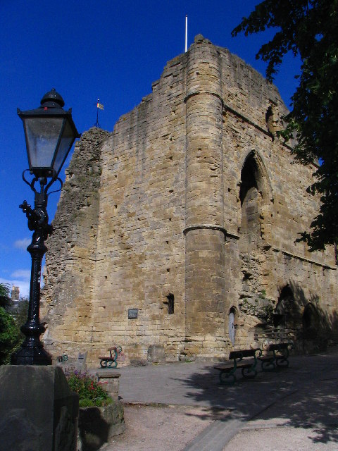
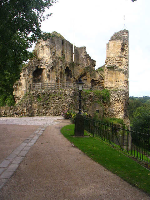
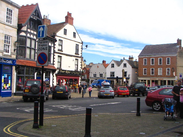
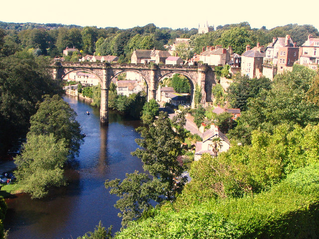
Badgers Hill Images
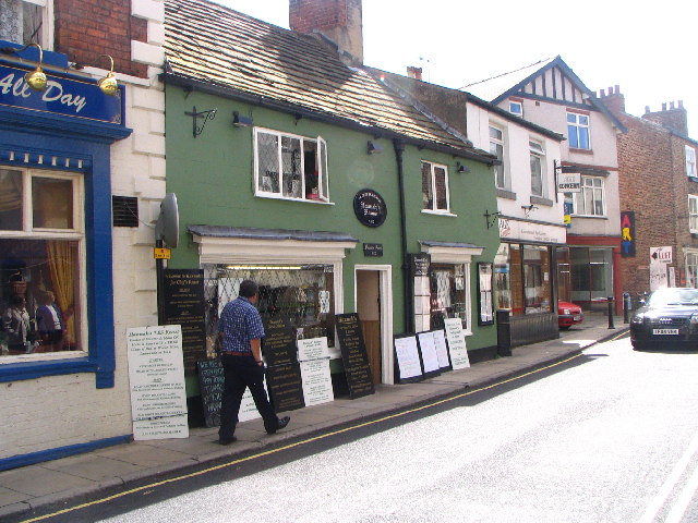
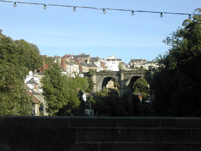
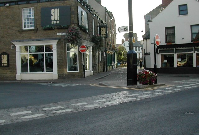
Images are sourced within 2km of 54.008573/-1.4767236 or Grid Reference SE3457. Thanks to Geograph Open Source API. All images are credited.


Badgers Hill is located at Grid Ref: SE3457 (Lat: 54.008573, Lng: -1.4767236)
Division: West Riding
Administrative County: North Yorkshire
District: Harrogate
Police Authority: North Yorkshire
What 3 Words
///rather.removers.thrashing. Near Knaresborough, North Yorkshire
Nearby Locations
Related Wikis
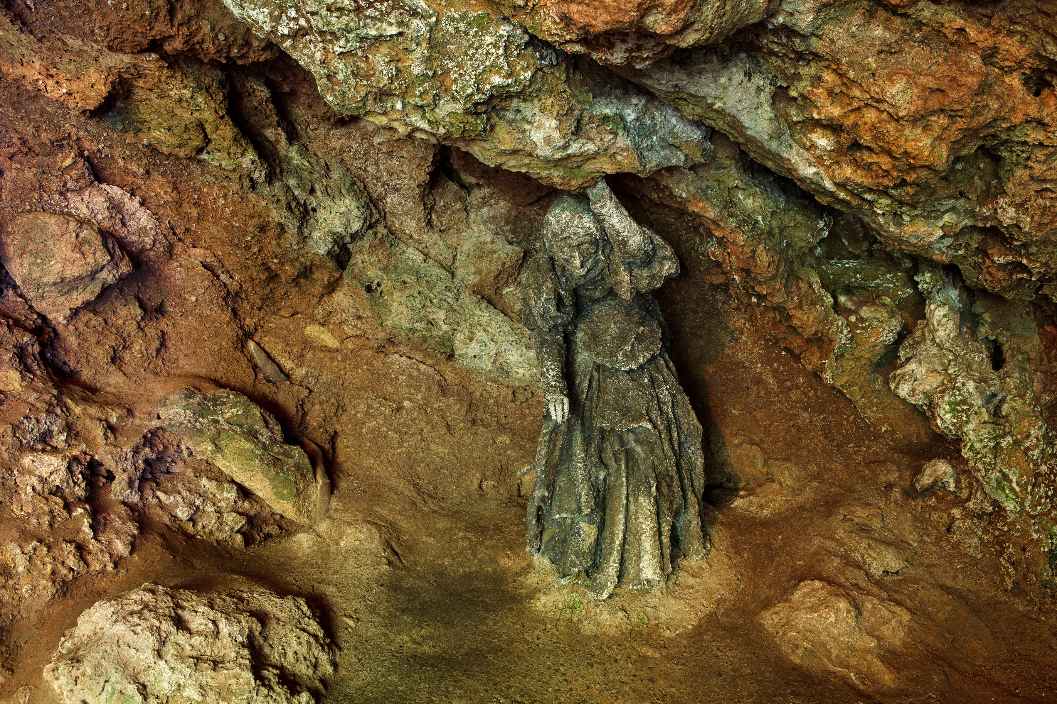
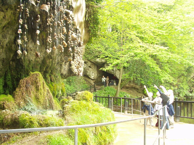
Mother Shipton's Cave
Mother Shipton's Cave (or "Old Mother Shipton's Cave") is at Knaresborough, North Yorkshire, England, near the River Nidd. Nearby is a petrifying well...

Knaresborough Zoo
Knaresborough Zoo was a zoo located in the grounds of Conyngham Hall, Knaresborough, a small market town within the district of Harrogate, North Yorkshire...

St John the Baptist Church, Knaresborough
St John the Baptist Church is a parish church in the Church of England located in Knaresborough, North Yorkshire. It is the largest church in the town...

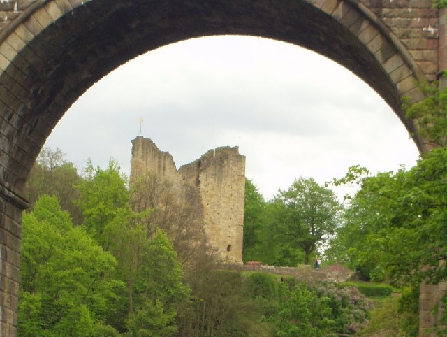
Knaresborough Viaduct
Knaresborough Viaduct is a viaduct in the North Yorkshire town of Knaresborough, England. The viaduct carries the Harrogate line over the River Nidd in...
Nearby Amenities
Located within 500m of 54.008573,-1.4767236Have you been to Badgers Hill?
Leave your review of Badgers Hill below (or comments, questions and feedback).