Swan Hill

Settlement in Shropshire

England

Swan Hill

Lodge near Welshampton Half-timbered lodge formerly serving Oteley Park which was pulled down in 1960.
Lodge near Welshampton Credit: Stephen Richards

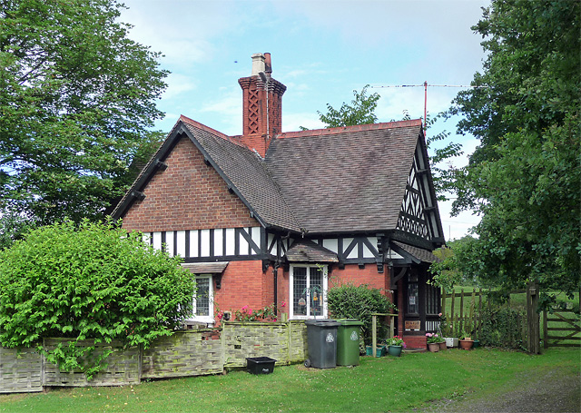
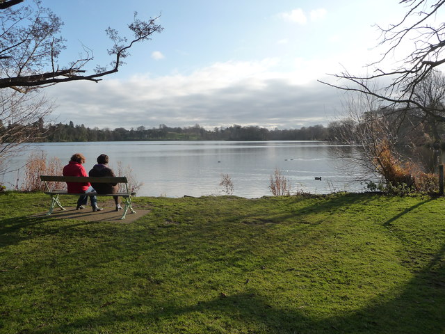
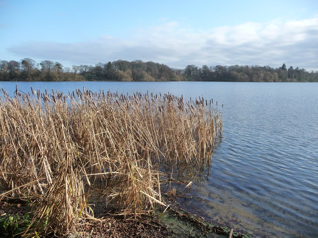
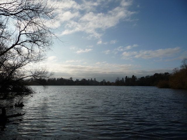
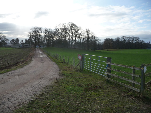
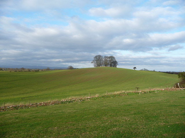
Swan Hill is a small village located in the county of Shropshire, England. Situated on the banks of the River Severn, it is known for its picturesque surroundings and tranquil atmosphere. The village is nestled amidst rolling hills and lush green fields, providing residents and visitors with stunning views of the surrounding countryside.

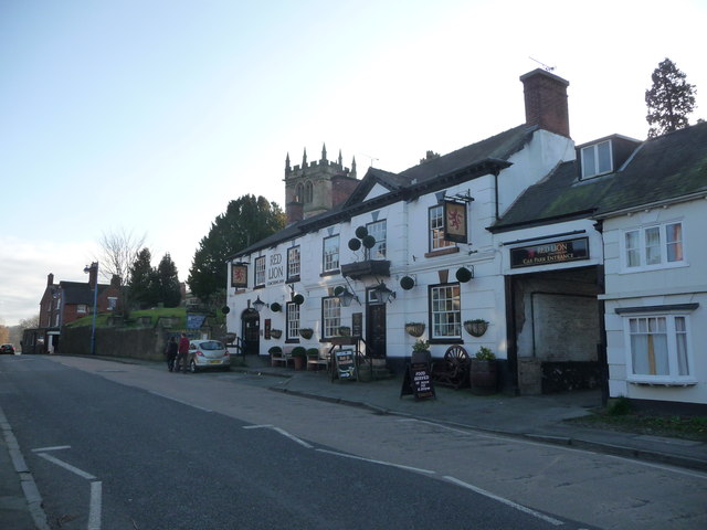
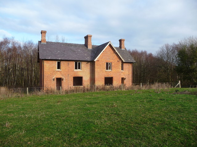
Swan Hill has a rich history, with evidence of human habitation dating back to Roman times. The village is home to several historic buildings, including a 12th-century church that acts as a centerpiece for the community. The church features intricate architectural details and serves as a reminder of the village's heritage.

Despite its small size, Swan Hill boasts a vibrant community with a range of amenities. There are local shops, a post office, and a village hall that hosts various events and gatherings throughout the year. The village also has a primary school, providing education for the local children.

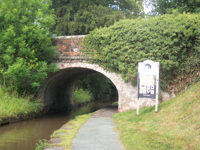
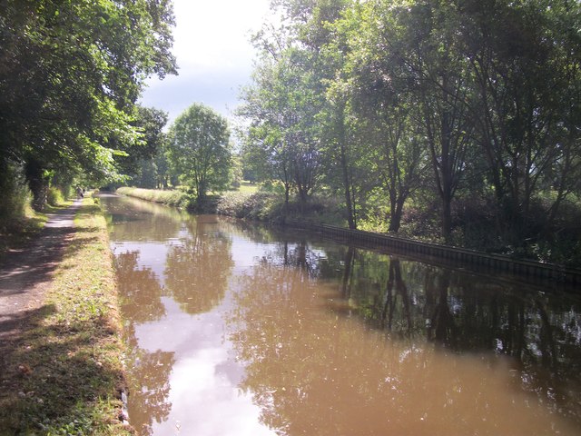
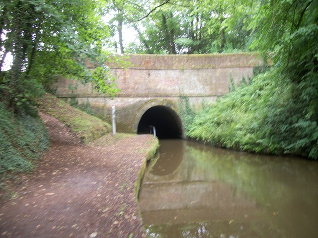
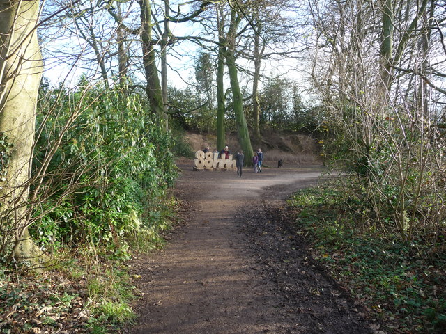
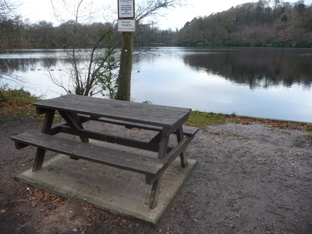
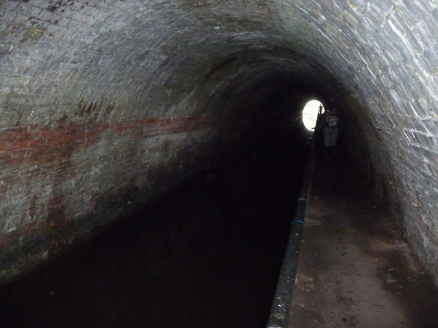
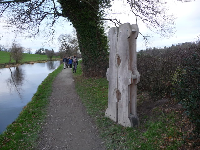
Nature lovers will appreciate the abundance of outdoor activities available in Swan Hill. The nearby River Severn offers opportunities for boating, fishing, and scenic walks along its banks. The surrounding countryside is perfect for hiking and exploring, with numerous footpaths and trails to discover.

With its idyllic setting and strong sense of community, Swan Hill is a charming village that offers a peaceful retreat from the hustle and bustle of city life. Whether it's immersing oneself in history, enjoying the natural beauty of the area, or simply enjoying the tranquility, Swan Hill has something to offer everyone.

If you have any feedback on the listing, please let us know in the comments section below.
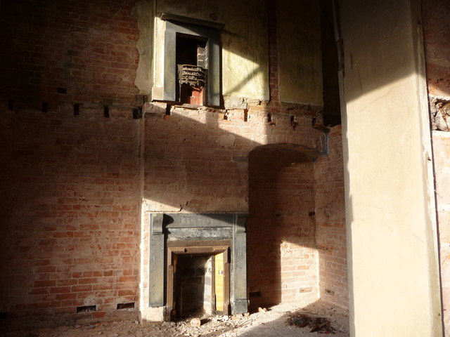
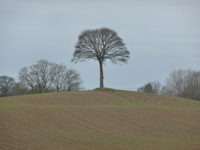
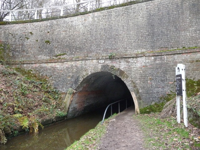
Swan Hill Images

Images are sourced within 2km of 52.911417/-2.8902927 or Grid Reference SJ4035. Thanks to Geograph Open Source API. All images are credited.

Lodge near Welshampton Half-timbered lodge formerly serving Oteley Park which was pulled down in 1960.
Lodge near Welshampton
Half-timbered lodge formerly serving Oteley Park which was pulled down in 1960.
The Red Bridge Ellesmere Canal
The Ellesmere Canal
The Ellesmere Canal
Ellesmere Canal Tunnel
The Red Lion, Ellesmere, Shropshire An historic coaching inn with St. Mary's church behind it.
The Red Lion, Ellesmere, Shropshire
An historic coaching inn with St. Mary's church behind it.
The Mere, Ellesmere A mild and sunny December morning means plenty of bird activity on the water and the chance to watch them from benches on the shore.
The Mere, Ellesmere
A mild and sunny December morning means plenty of bird activity on the water and the chance to watch them from benches on the shore.
Bulrushes beside The Mere, Ellesmere, Shropshire A hushed chorus of rushes sigh and whisper at the water's edge.
Bulrushes beside The Mere, Ellesmere, Shropshire
A hushed chorus of rushes sigh and whisper at the water's edge.
Sculpture beside The Mere, Ellesmere, Shropshire As part of a seasonal sculpture exhibition taking place in and around the town this item stands near a path junction and proves popular with visitors for family photographs.
Sculpture beside The Mere, Ellesmere, Shropshire
As part of a seasonal sculpture exhibition taking place in and around the town this item stands near a path junction and proves popular with visitors for family photographs.
Part of Ellesmere from across The Mere in December The church tower of St. Mary's is visible on the winter skyline.
Part of Ellesmere from across The Mere in December
The church tower of St. Mary's is visible on the winter skyline.
Farm track near Oteley, Ellesmere, Shropshire The signage clearly states that this track is private and for farm access only. A horse in a rug stands guard by the fence.
Farm track near Oteley, Ellesmere, Shropshire
The signage clearly states that this track is private and for farm access only. A horse in a rug stands guard by the fence.
Small copse crowning a hill near Ellesmere A dozen or so trees have been planted atop this little hillock.
Small copse crowning a hill near Ellesmere
A dozen or so trees have been planted atop this little hillock.
Derelict house near Lea Wood This early 20th century farmhouse has been long abandoned but has been re-roofed maybe with a view to re-building it. Inside it has been almost totally stripped out.
Derelict house near Lea Wood
This early 20th century farmhouse has been long abandoned but has been re-roofed maybe with a view to re-building it. Inside it has been almost totally stripped out.
Warmth in two derelict fireplaces These two fireplaces must have once given daily warmth from their fires but now each sunny day the sunlight creeps around the empty walls to replicate the long gone fires. I hope that soon real fires are re-lit here. And not by arsonists.

Interestingly the remains of an old fire sit in the grate on what was the first floor.
Warmth in two derelict fireplaces
These two fireplaces must have once given daily warmth from their fires but now each sunny day the sunlight creeps around the empty walls to replicate the long gone fires. I hope that soon real fires are re-lit here. And not by arsonists. Interestingly the remains of an old fire sit in the grate on what was the first floor.
Isolated tree on a hilltop This tree may well have started life on a field boundary or fenceline but has found itself standing atop its little hill in a very eyecatching way.
Isolated tree on a hilltop
This tree may well have started life on a field boundary or fenceline but has found itself standing atop its little hill in a very eyecatching way.
Beside Blake Mere A picnic table sits beside the mere here, a great spot for a rest, a brew and, in December at least, some Christmas cake.
Beside Blake Mere
A picnic table sits beside the mere here, a great spot for a rest, a brew and, in December at least, some Christmas cake.
The eastern portal of the Ellesmere Tunnel A short (80m) tunnel.
The eastern portal of the Ellesmere Tunnel
A short (80m) tunnel.
Inside the Ellesmere Tunnel On occasion of course two walkers enter the dark tunnel and need to pass each other - just about do-able as long as neither is too large.
Inside the Ellesmere Tunnel
On occasion of course two walkers enter the dark tunnel and need to pass each other - just about do-able as long as neither is too large.
Part of the towpath of the Llangollen Canal near Ellesmere An item of sculpture has been installed here as part of a local sculpture event. (Yes, it does look like an old wooden clothes peg. Or a stocks on its side. Or a stocks for monopeds the right way up).
Part of the towpath of the Llangollen Canal near Ellesmere
An item of sculpture has been installed here as part of a local sculpture event. (Yes, it does look like an old wooden clothes peg. Or a stocks on its side. Or a stocks for monopeds the right way up).
Show me another place!

Swan Hill is located at Grid Ref: SJ4035 (Lat: 52.911417, Lng: -2.8902927)

Unitary Authority: Shropshire

Police Authority: West Merica

What 3 Words

///lined.users.topped. Near Ellesmere, Shropshire

Related Wikis

St Mary's Church, Ellesmere

St Mary's Church stands on a hill in the town of Ellesmere, Shropshire, England. It is an active Anglican parish church in the deanery of Ellesmere, the...

Ellesmere, Shropshire

Ellesmere ( ELZ-meer) is a town in the civil parish of Ellesmere Urban, in Shropshire, England; it is located near to the Welsh border, the towns of Oswestry...

Old Town Hall, Ellesmere

The Old Town Hall is a municipal building in the High Street in Ellesmere, Shropshire, England. The structure, which was the meeting place of Ellesmere...
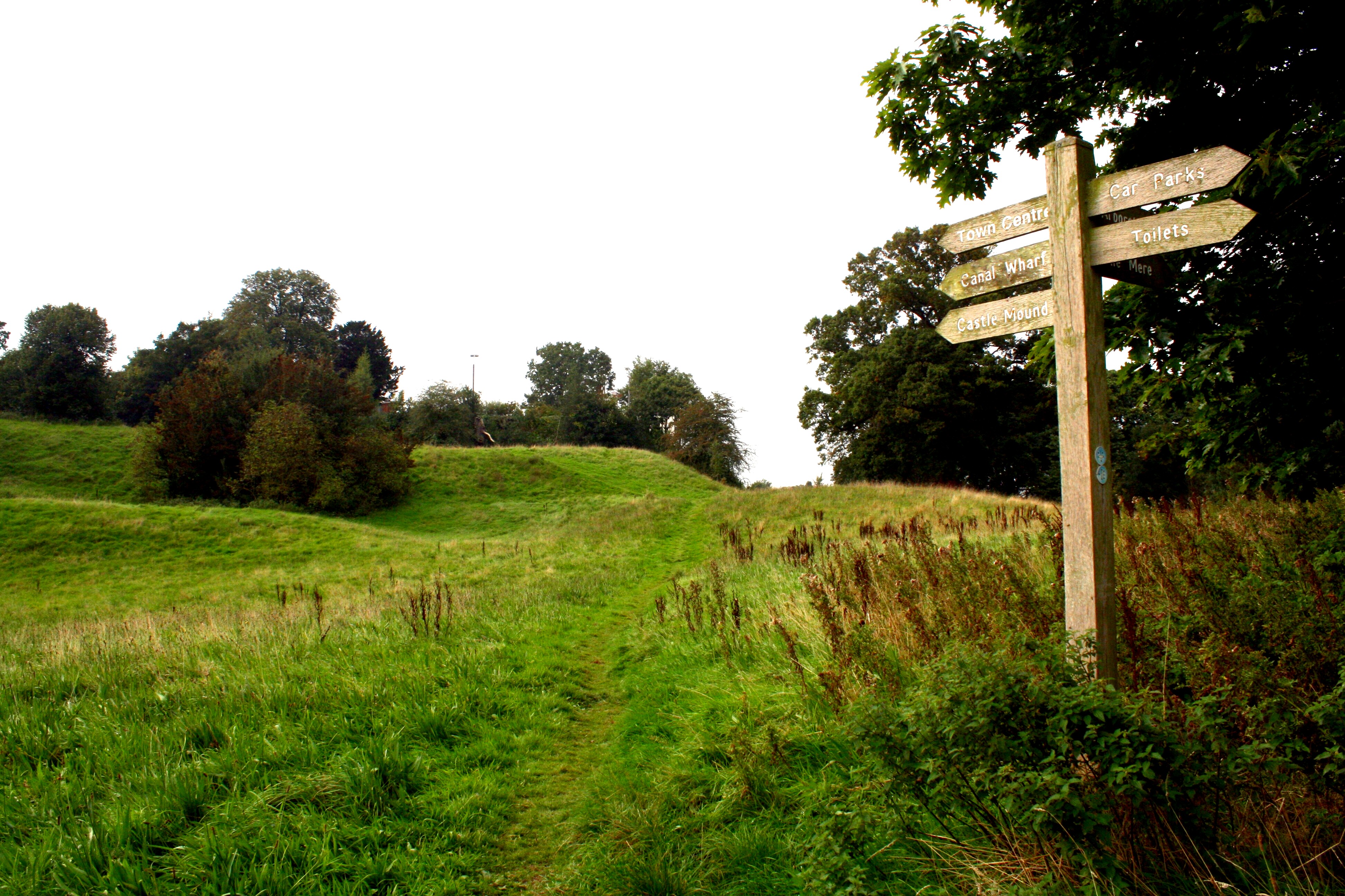
Ellesmere Castle

Ellesmere Castle was in the town of Ellesmere, Shropshire. (grid reference SJ403347).This was a motte and bailey castle which was probably founded by Roger...

Nearby Amenities

Located within 500m of 52.911417,-2.8902927
Ellesmere Crossroads
Bus: yes
Public Transport: stop_position
Lat/Long: 52.9088366/-2.8934859
Turning Circle
Lat/Long: 52.9097135/-2.8938373
Turning Circle
Turning Circle: knuckle
Lat/Long: 52.9126988/-2.8913165
Turning Circle
Lat/Long: 52.9136107/-2.8893855
Ellesmere Newsagents
Addr City: Ellesmere
Addr Country: GB
Addr Housenumber: 1-3
Addr Postcode: SY12 0ES
Addr Street: High Street
Fhrs Authority: Shropshire
Fhrs Id: 737738
Fhrs Local Authority Id: 15/00017/COMM
Shop: convenience
Lat/Long: 52.9073407/-2.8934321
Vermeulens
Addr City: Ellesmere
Addr Country: GB
Addr Housenumber: 6
Addr Postcode: SY12 0AR
Addr Street: Cross Street
Fhrs Authority: Shropshire
Fhrs Id: 99735
Fhrs Local Authority Id: 31696
Phone: +44 1691 622521
Shop: deli
Lat/Long: 52.9075804/-2.8933808
Clock
Display: analog
Visibility: street
Lat/Long: 52.9075833/-2.8933994
Post Box
Collection Times: Mo-Fr 17:30; Sa 10:00
Post Box Type: wall
Ref: SY12 1
Royal Cypher: VR
Royal Cypher Wikidata: Q33102356
Lat/Long: 52.9088415/-2.8934231
Toilets
Lat/Long: 52.9101817/-2.8899585
Post Box
Post Box Type: lamp
Ref: SY12 18
Royal Cypher: EIIR
Royal Cypher Wikidata: Q33102113
Lat/Long: 52.9103951/-2.8915678
Bus Stop
adj Ellesmere Crossroads
Bus: yes
Naptan AtcoCode: 3500B267100
Naptan NaptanCode: shrawdgd
Public Transport: platform
Shelter: yes
Lat/Long: 52.9088596/-2.8936764
Ellesmere Hotel
Addr City: Ellesmere
Addr Country: GB
Addr Postcode: SY12 0ES
Addr Street: High Street
Fhrs Authority: Shropshire
Fhrs Id: 989601
Fhrs Local Authority Id: 17/00155/COMM
Phone: +44 1691 622055
Real Ale: yes
Tourism: hotel
Lat/Long: 52.9073428/-2.8928631
Cafe
Pete's
Addr City: Ellesmere
Addr Country: GB
Addr Housenumber: 8
Addr Postcode: SY12 0AR
Addr Street: Cross Street
Fhrs Authority: Shropshire
Fhrs Id: 118521
Fhrs Local Authority Id: 47878
Phone: +44 1691 623414
Lat/Long: 52.9076501/-2.8933539
Pub
The Swan
Addr City: Ellesmere
Addr Country: GB
Addr Postcode: SY12 0AW
Addr Street: Cross Street
Fhrs Authority: Shropshire
Fhrs Id: 99734
Fhrs Local Authority Id: 31694
Phone: +44 1691 622596
Lat/Long: 52.9077281/-2.8934699
Fuel
Mere Motors
Brand: Texaco
Brand Wikidata: Q775060
Website: https://locations.valero.com/en-gb/LocationDetails/Index/CHURCH-STREET/0000886511
Lat/Long: 52.9081322/-2.8906496
Londis
Brand: Londis
Brand Wikidata: Q21008564
Brand Wikipedia: en:Londis (United Kingdom)
Shop: convenience
Lat/Long: 52.9079785/-2.890781
Power: pole
Lat/Long: 52.9114853/-2.8977191
Historic: archaeological_site
Source: NLS-OS-1st_Series
Lat/Long: 52.912285/-2.8897421
Power: pole
Lat/Long: 52.9150742/-2.8891899
Power: pole
Lat/Long: 52.9124928/-2.8953616
Power: pole
Lat/Long: 52.9129004/-2.8944202
Power: pole
Lat/Long: 52.9138514/-2.8921671
Power: pole
Lat/Long: 52.9144482/-2.8907375
Generator Method: photovoltaic
Generator Output Electricity: yes
Generator Source: solar
Generator Type: solar_photovoltaic_panel
Location: roof
Power: generator
Lat/Long: 52.9122115/-2.8906757
Generator Method: photovoltaic
Generator Output Electricity: yes
Generator Source: solar
Generator Type: solar_photovoltaic_panel
Location: roof
Power: generator
Lat/Long: 52.9133179/-2.890445
Generator Method: photovoltaic
Generator Output Electricity: yes
Generator Source: solar
Generator Type: solar_photovoltaic_panel
Location: roof
Power: generator
Lat/Long: 52.9112491/-2.8935215
Generator Method: photovoltaic
Generator Output Electricity: yes
Generator Source: solar
Generator Type: solar_photovoltaic_panel
Location: roof
Power: generator
Lat/Long: 52.9094957/-2.8924567
Generator Method: photovoltaic
Generator Output Electricity: yes
Generator Source: solar
Generator Type: solar_photovoltaic_panel
Location: roof
Power: generator
Lat/Long: 52.9104905/-2.8939775
Generator Method: photovoltaic
Generator Output Electricity: yes
Generator Source: solar
Generator Type: solar_photovoltaic_panel
Location: roof
Power: generator
Lat/Long: 52.9102527/-2.8935242
Crossing
Crossing: uncontrolled
Crossing Island: no
Crossing Markings: yes
Tactile Paving: yes
Traffic Calming: choker
Lat/Long: 52.9111024/-2.8946496
Give Way
Direction: forward
Lat/Long: 52.9110271/-2.8946703
Barrier: kerb
Kerb: flush
Tactile Paving: yes
Lat/Long: 52.9090534/-2.8940734
Barrier: kerb
Kerb: flush
Tactile Paving: yes
Lat/Long: 52.9089477/-2.8939747
Crossing
Crossing: unmarked
Crossing Island: no
Crossing Markings: no
Tactile Paving: yes
Lat/Long: 52.9089575/-2.8936842
Barrier: cycle_barrier
Lat/Long: 52.9088887/-2.893823
Barrier: kerb
Kerb: flush
Tactile Paving: yes
Lat/Long: 52.9089469/-2.8937056
Crossing
Crossing: unmarked
Crossing Island: yes
Crossing Markings: no
Tactile Paving: yes
Lat/Long: 52.9089817/-2.8940043
Crossing
Crossing: unmarked
Crossing Island: yes
Crossing Markings: no
Tactile Paving: yes
Lat/Long: 52.9091586/-2.893964
Barrier: kerb
Kerb: flush
Tactile Paving: yes
Lat/Long: 52.9091395/-2.8940341
Crossing
Crossing: unmarked
Crossing Island: no
Crossing Markings: no
Tactile Paving: yes
Lat/Long: 52.9091503/-2.893593
Man Made: tower
Lat/Long: 52.9101342/-2.8942584
Give Way
Direction: forward
Lat/Long: 52.908824/-2.8943303
Restaurant
Meze Restaurant Ellesmere
Addr City: Ellesmere
Addr Country: GB
Addr Housenumber: 31
Addr Postcode: SY12 0AW
Addr Street: Cross Street
Fhrs Authority: Shropshire
Fhrs Id: 1246776
Fhrs Local Authority Id: 19/00582/COMM
Lat/Long: 52.9082683/-2.8930863
Fast Food
Ellesmere Kebab And Pizza House
Addr City: Ellesmere
Addr Country: GB
Addr Housenumber: 23
Addr Postcode: SY12 0AW
Addr Street: Cross Street
Fhrs Authority: Shropshire
Fhrs Id: 123833
Fhrs Local Authority Id: 52244
Lat/Long: 52.9080156/-2.8932653
Rightway
Shop: variety_store
Lat/Long: 52.907908/-2.8933344
Ice Cream
More Than A Sundae
Addr City: Ellesmere
Addr Country: GB
Addr Housenumber: 15-17
Addr Postcode: SY12 0AW
Addr Street: Cross Street
Fhrs Authority: Shropshire
Fhrs Id: 1158156
Fhrs Local Authority Id: 19/00001/COMM
Lat/Long: 52.9076638/-2.8935108
Euronics Barlows
Shop: electronics
Lat/Long: 52.9075982/-2.8935664
JS Hair at 10
Shop: hairdresser
Lat/Long: 52.9076953/-2.8933056
B Hawkins And Son
Addr City: Ellesmere
Addr Country: GB
Addr Housenumber: 4
Addr Postcode: SY12 0AR
Addr Street: Cross Street
Fhrs Authority: Shropshire
Fhrs Id: 99719
Fhrs Local Authority Id: 31686
Shop: butcher
Lat/Long: 52.9074931/-2.8934243
Ceri's Hair Salon
Shop: hairdresser
Lat/Long: 52.9074239/-2.8934336
Fast Food
New Wan Loy
Addr City: Ellesmere
Addr Country: GB
Addr Housenumber: 9
Addr Postcode: SY12 0AW
Addr Street: Cross Street
Fhrs Authority: Shropshire
Fhrs Id: 71591
Fhrs Local Authority Id: 162543
Lat/Long: 52.9075348/-2.8936127
Pharmacy
Ellesmere Pharmacy
Lat/Long: 52.9074332/-2.8937059
Restaurant
Asian Spices
Addr City: Ellesmere
Addr Country: GB
Addr Housenumber: 1
Addr Postcode: SY12 0ET
Addr Street: Birch Road
Fhrs Authority: Shropshire
Fhrs Id: 1109444
Fhrs Local Authority Id: 18/00423/COMM
Lat/Long: 52.9071396/-2.8925559
Cafe
Corner House Cafe
Addr City: Ellesmere
Addr Country: GB
Addr Postcode: SY12 0EP
Addr Street: High Street
Fhrs Authority: Shropshire
Fhrs Id: 121167
Fhrs Local Authority Id: 49915
Lat/Long: 52.9072343/-2.8926364
Dentist
Ellesmere Dental Practice
Lat/Long: 52.9072432/-2.8927705
Ismays
Shop: clothes
Lat/Long: 52.9072432/-2.8928295
A D T Carpets
Shop: carpet
Lat/Long: 52.9072424/-2.8929247
The data included in this document is from www.openstreetmap.org. The data is made available under ODbL.

Have you been to Swan Hill?

Leave your review of Swan Hill below (or comments, questions and feedback).