Swan

Settlement in Wiltshire

England

Swan

Milton Lilbourne, Wiltshire A small pond to the north of Clay Lane, located to the south of the village of Milton Lilbourne.
Milton Lilbourne, Wiltshire Credit: Rebecca A Wills

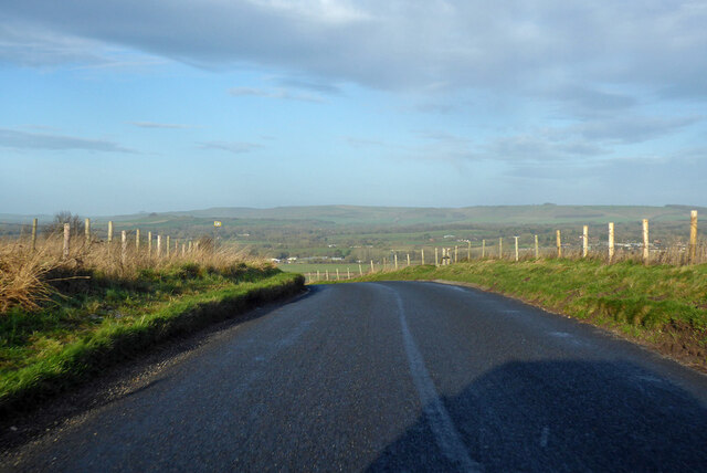
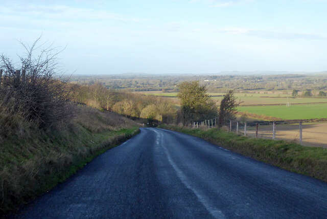
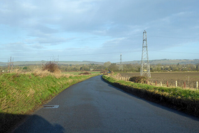
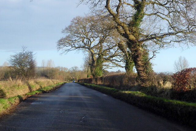
Swan is a small village located in the county of Wiltshire, England. Situated approximately 10 miles southwest of the town of Devizes, Swan is nestled in the picturesque Vale of Pewsey. The village is surrounded by rolling hills and lush countryside, offering residents and visitors a tranquil setting.

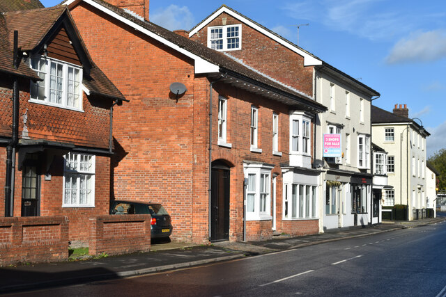
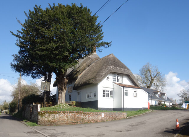
With a population of around 500 people, Swan is known for its close-knit community and friendly atmosphere. The village is primarily residential, with a scattering of traditional cottages and houses, many of which date back to the 18th and 19th centuries. The architecture reflects the area's rural charm and historic character.

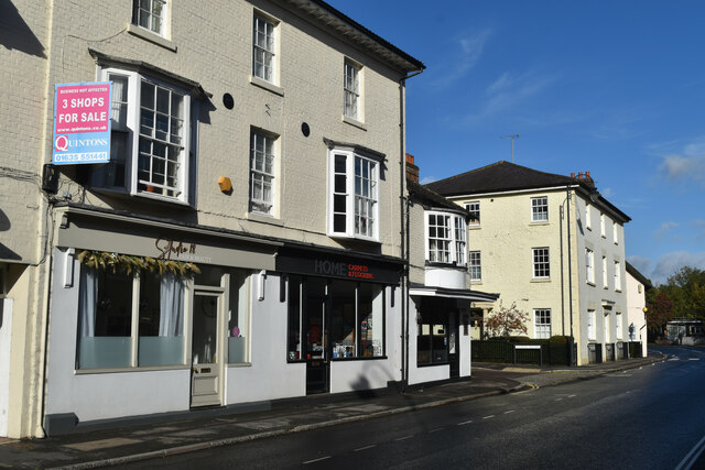
Although small in size, Swan boasts a few local amenities. These include a village hall, a traditional pub, and a primary school, providing essential services for the community. The village is well-connected to other nearby towns and cities by road, with the A342 passing through Swan.

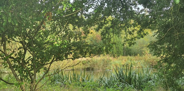
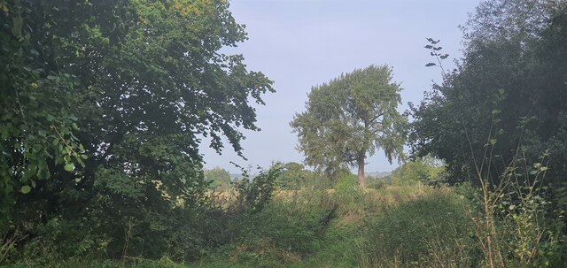
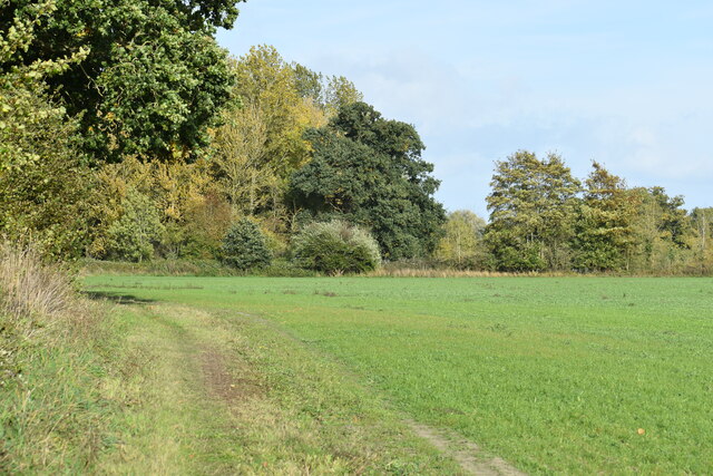
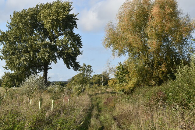
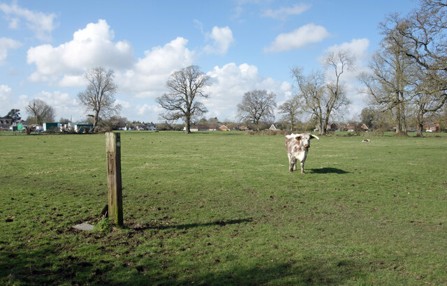
Surrounded by natural beauty, Swan offers plenty of opportunities for outdoor activities. The village is in close proximity to the Pewsey Downs National Nature Reserve, a designated Area of Outstanding Natural Beauty, where visitors can enjoy walks, cycling, and birdwatching. The nearby Kennet and Avon Canal also provides a picturesque spot for leisurely strolls and boating.

Overall, Swan is a charming and idyllic village that offers a peaceful lifestyle amidst the stunning Wiltshire countryside. Its community-oriented spirit, combined with its natural beauty, makes it an attractive place to live or visit for those seeking a slower pace of life.

If you have any feedback on the listing, please let us know in the comments section below.
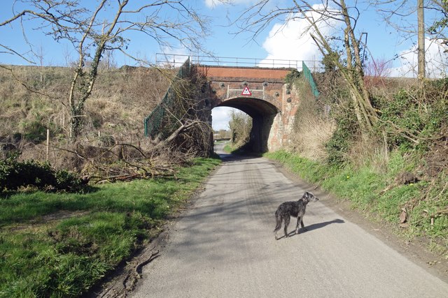
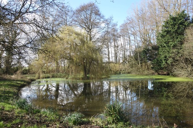
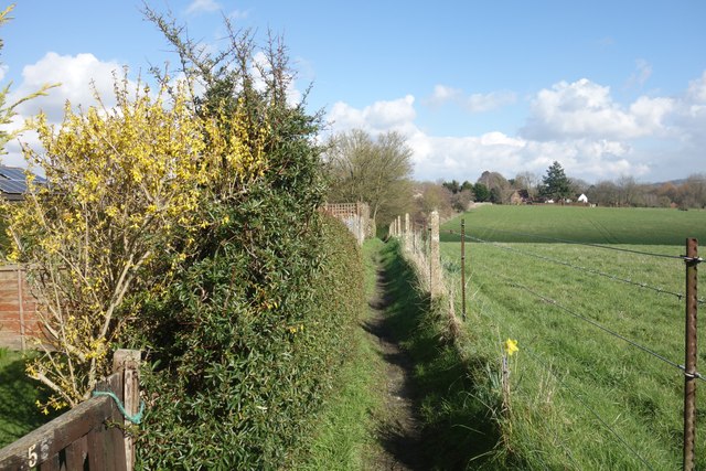
Swan Images

Images are sourced within 2km of 51.334018/-1.7663092 or Grid Reference SU1659. Thanks to Geograph Open Source API. All images are credited.

Milton Lilbourne, Wiltshire A small pond to the north of Clay Lane, located to the south of the village of Milton Lilbourne.
Milton Lilbourne, Wiltshire
A small pond to the north of Clay Lane, located to the south of the village of Milton Lilbourne.
Pewsey, Wiltshire Farmland between Pewsey and the village of Milton Lilbourne. In the far distance Martinsell Hill can just be seen.
Pewsey, Wiltshire
Farmland between Pewsey and the village of Milton Lilbourne. In the far distance Martinsell Hill can just be seen.
Road at top of descent into Vale of Pewsey
Pewsey Road descending into Vale of Pewsey
Pewsey Road towards Pewsey
Everleigh Road Towards Pewsey.
Everleigh Road
Towards Pewsey.
Field edge path south of Abbey Farm
Grassy Bridleway south of Fyfield
River Street, Pewsey
Shops for sale in River Street, Pewsey
Cow at the Crossing The post marks where two of this square's many public footpaths cross each other in the middle of a large grassy meadow.
A cow with big horns looks on.
Cow at the Crossing
The post marks where two of this square's many public footpaths cross each other in the middle of a large grassy meadow. A cow with big horns looks on.
Cow with Big Horns I kind of know that cows will do this if left to themselves, but it's not often that you see horns like this and it comes as a bit of a surprise.
Cow with Big Horns
I kind of know that cows will do this if left to themselves, but it's not often that you see horns like this and it comes as a bit of a surprise.
The Cooper's Arms, Pewsey A country pub down a lane on the edge of Pewsey.
The Cooper's Arms, Pewsey
A country pub down a lane on the edge of Pewsey.
Church Street, Pewsey The A345 heading out of town.
Church Street, Pewsey
The A345 heading out of town.
The Crescent, Pewsey A 20th century post war residential street similar to others all over the country.
The Crescent, Pewsey
A 20th century post war residential street similar to others all over the country.
Sharcott Drove goes under the Railway Sharcott Drove is a country lane to the west of Pewsey.
Sharcott Drove goes under the Railway
Sharcott Drove is a country lane to the west of Pewsey.
Pond at East Sharcott A pleasant woodland pond beside one of the headwaters of the River Avon.
Pond at East Sharcott
A pleasant woodland pond beside one of the headwaters of the River Avon.
The Pewsey Avon Trail A fairly new 47 km Long Distance Path created in 2010 along the Avon Valley between Pewsey and Salisbury. <span class="nowrap"><a title="https://www.walkingenglishman.com/ldp/pewseyavontrail.html" rel="nofollow ugc noopener" href="https://www.walkingenglishman.com/ldp/pewseyavontrail.html">Link</a><img style="margin-left:2px;" alt="External link" title="External link - shift click to open in new window" src="https://s1.geograph.org.uk/img/external.png" width="10" height="10"/></span>
The path here has only a few hundred metres to go to reach its northern end in the centre of Pewsey.
The Pewsey Avon Trail
A fairly new 47 km Long Distance Path created in 2010 along the Avon Valley between Pewsey and Salisbury. LinkExternal link The path here has only a few hundred metres to go to reach its northern end in the centre of Pewsey.
Show me another place!

Swan is located at Grid Ref: SU1659 (Lat: 51.334018, Lng: -1.7663092)

Unitary Authority: Wiltshire

Police Authority: Wiltshire

What 3 Words

///goods.cycle.bypassed. Near Pewsey, Wiltshire

Nearby Locations

Swan Pewsey King's Corner

Related Wikis

Pewsey Vale F.C.

Pewsey Vale F.C. is a football club based in the village of Pewsey, Wiltshire, England. They play in the Wiltshire Premier League. == History == The club...

Pewsey

Pewsey is a large village and civil parish at the centre of the Vale of Pewsey in Wiltshire, about 6 miles (10 km) south of Marlborough and 71 miles (114...

Pewsey Vale School

Pewsey Vale School is a small, mixed secondary school in Pewsey, Wiltshire, England, for children aged 11 to 16. It became an academy in July 2011. The...

Pewsey railway station

Pewsey railway station serves the large village of Pewsey in the county of Wiltshire, England. The station is on the Berks and Hants line, 75 miles 26...

Nearby Amenities

Located within 500m of 51.334018,-1.7663092
Fuel
Esso
Addr Postcode: SN9 5HH
Brand: Esso
Brand Wikidata: Q867662
Mapillary: 3063976920486692
Opening Hours: 24/7
Operator: Motor Fuel Group
Operator Website: https://www.motorfuelgroup.com/locations/pewsey-fs712/
Operator Wikidata: Q107271358
Survey Date: 2021-06-13
Lat/Long: 51.3351113/-1.7670768
Turning Circle
Lat/Long: 51.3346783/-1.7653288
Turning Circle
Lat/Long: 51.33519/-1.7642529
Turning Circle
Lat/Long: 51.3346305/-1.7639814
Power: tower
Source: Bing
Lat/Long: 51.3299223/-1.7644305
Spar
Brand: Spar
Brand Wikidata: Q610492
Shop: convenience
Lat/Long: 51.3350116/-1.7669939
Defibrillator
Defibrillator Location: On brick wall at the junction of Swan Road and Salisbury Road, next to the post box
Emergency: defibrillator
Indoor: no
Mapillary: 609096513527892
Survey Date: 2021-06-13
Lat/Long: 51.3345905/-1.7669291
Post Box
Brand: Royal Mail
Brand Wikidata: Q638098
Collection Times: Mo-Fr 09:00; Sa 07:00
Drive Through: no
Operator: Royal Mail
Operator Wikidata: Q638098
Post Box Type: wall
Ref: SN9 87D
Royal Cypher: GR
Royal Cypher Wikidata: Q33102273
Lat/Long: 51.3345814/-1.7669171
Telephone
Booth: K6
Covered: booth
Man Made: telephone_box
Tourism: information
Lat/Long: 51.3341915/-1.7668118
Heritage: yes
Historic: memorial
Memorial: war_memorial
Wikidata: Q66479196
Lat/Long: 51.337949/-1.7668636
Post Box
Brand: Royal Mail
Brand Wikidata: Q638098
Collection Times: Mo-Fr 09:00; Sa 07:00
Drive Through: no
Operator: Royal Mail
Operator Wikidata: Q638098
Post Box Type: lamp
Ref: SN9 136D
Royal Cypher: EIIR
Royal Cypher Wikidata: Q33102113
Lat/Long: 51.3382264/-1.7682892
Access: private
Barrier: lift_gate
Lat/Long: 51.3383079/-1.7642457
Post Box
Brand: Royal Mail
Brand Wikidata: Q638098
Collection Times: Mo-Fr 09:00; Sa 07:00
Drive Through: no
Operator: Royal Mail
Operator Wikidata: Q638098
Post Box Type: lamp
Ref: SN9 175D
Royal Cypher: EIIR
Royal Cypher Wikidata: Q33102113
Lat/Long: 51.3347669/-1.7616762
The data included in this document is from www.openstreetmap.org. The data is made available under ODbL.

Have you been to Swan?

Leave your review of Swan below (or comments, questions and feedback).