Strathy

Settlement in Ross-shire

Scotland

Strathy

B9176 runs alongside Stittenham Wood
B9176 runs alongside Stittenham Wood Credit: Stuart Logan

The requested URL returned error: 429 Too Many Requests

If you have any feedback on the listing, please let us know in the comments section below.
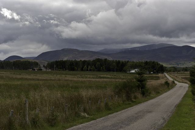
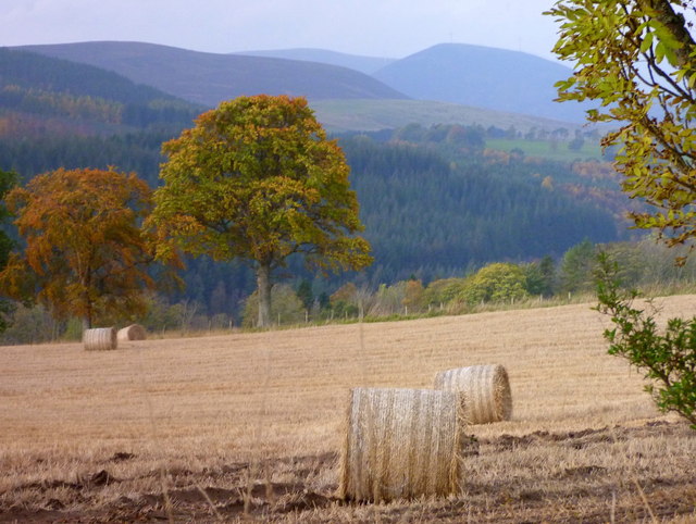
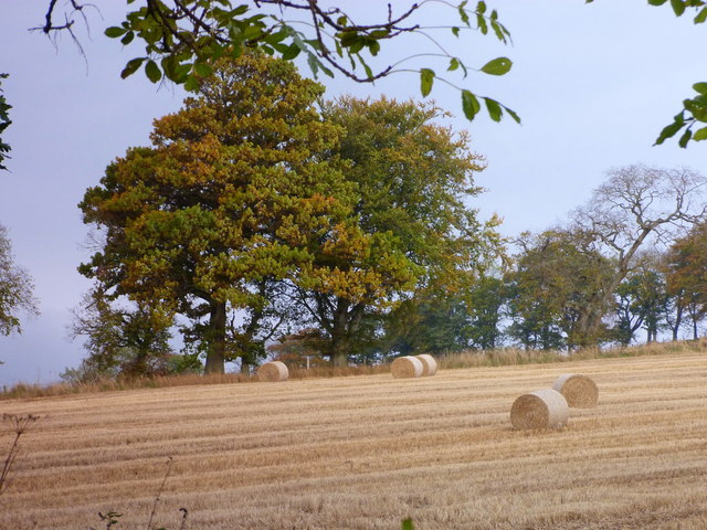
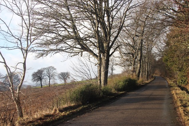
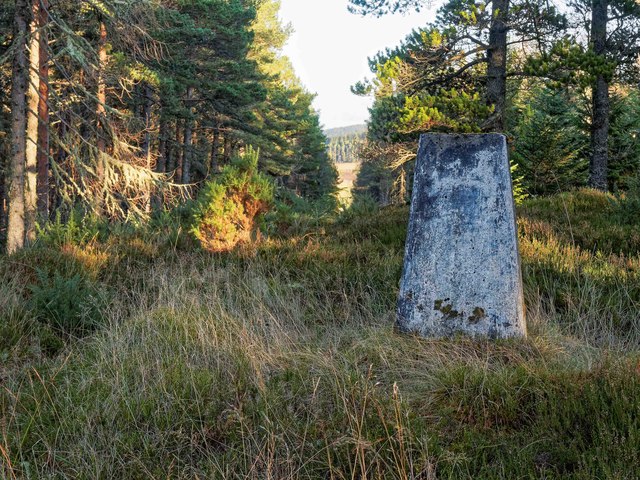
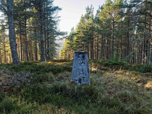
Strathy Images

Images are sourced within 2km of 57.748352/-4.287133 or Grid Reference NH6375. Thanks to Geograph Open Source API. All images are credited.

B9176 runs alongside Stittenham Wood
Minor road by Strathy
Looking towards Nover
Bales at Easter Ardross
More bales at Easter Ardross
Bridge on the B9176
Bridge on the B9176
Timber stack beside forestry road The stretch of road in view connects two other roads in the coniferous plantings on the western slopes of Cnoc Corr Guinie; OS mapping at 1:25 000 does not currently (April 2013) mark the road but it is shown at various other scales.
Timber stack beside forestry road
The stretch of road in view connects two other roads in the coniferous plantings on the western slopes of Cnoc Corr Guinie; OS mapping at 1:25 000 does not currently (April 2013) mark the road but it is shown at various other scales.
Forestry roads near Strath Rory
Ardross Community Hall
Ploughed field at Easter Ardross
Stubble at Easter Ardross
Farmland at Ardross
Farmland at Ardross
Road to Stittenham Farm An unusual type of placename for this area, with its roots in Yorkshire.
Road to Stittenham Farm
An unusual type of placename for this area, with its roots in Yorkshire.
Thunder cloud menaces a power line at Strathy
The B9176 heading for Bonar Bridge For light vehicles heading north, the B9176 provides a useful (and very scenic) short cut between Alness and Bonar Bridge. Ideal for reaching all those wonderful parts of Scotland (the old Sutherland) north and west of here. This would not apply, of course, if the destination were to the north-east (the old Caithness): then it is better to use the A9 Dornoch Firth Bridge.

Just the same coming south, of course, but I won't bore you with another full description. (On the A9 there used to be my favourite road sign of all, "To Inverness and the south", but I think it no longer exists.)
The B9176 heading for Bonar Bridge
For light vehicles heading north, the B9176 provides a useful (and very scenic) short cut between Alness and Bonar Bridge. Ideal for reaching all those wonderful parts of Scotland (the old Sutherland) north and west of here. This would not apply, of course, if the destination were to the north-east (the old Caithness): then it is better to use the A9 Dornoch Firth Bridge. Just the same coming south, of course, but I won't bore you with another full description. (On the A9 there used to be my favourite road sign of all, "To Inverness and the south", but I think it no longer exists.)
Trig Pillar Cnoc Duaig Looking NE through the fire break.
Trig Pillar Cnoc Duaig
Looking NE through the fire break.
Trig Pillar Cnoc Duaig Looking SW, the OS maps suggest there is a footpath over the summit of Cnoc Duag down to the Ardross road. In effect, it's just a fire break, and the path becomes ill-defined at the base of the hill where the forest has been clear felled some years ago.
Trig Pillar Cnoc Duaig
Looking SW, the OS maps suggest there is a footpath over the summit of Cnoc Duag down to the Ardross road. In effect, it's just a fire break, and the path becomes ill-defined at the base of the hill where the forest has been clear felled some years ago.
Show me another place!

Strathy is located at Grid Ref: NH6375 (Lat: 57.748352, Lng: -4.287133)

Unitary Authority: Highland

Police Authority: Highlands and Islands

What 3 Words

///stay.outlooks.times. Near Alness, Highland

Nearby Locations

Strathy

Related Wikis

Strathy, Ardross

Strathy (Scottish Gaelic: An t-Srathaidh, "small strath") is a strath in the Highlands of Scotland, forming the Northern part of the area known as Ardross...

B9176 road

The B9176 also known as the "Struie" is a 15-mile-long (24 km) road from Alness to Bonar Bridge. in the Scottish Highlands. This road is the main road...

Loch Achnacloich

Loch Achnacloich is a very shallow loch located about 4 kilometres (2.5 mi) north of Alness in Ross and Cromarty, Scottish Highlands, Scotland. == Geography... ==

Achandunie

Achandunie (Scottish Gaelic: Achadh an Dùnaidh) is a village north of Alness in Ross-shire in the Scottish council area of the Highland. The village lies...

Nearby Amenities

Located within 500m of 57.748352,-4.287133
Power: pole
Lat/Long: 57.7498409/-4.2792164
Power: pole
Lat/Long: 57.7496817/-4.280303
Power: pole
Lat/Long: 57.7494781/-4.2816504
Power: pole
Lat/Long: 57.749281/-4.2830465
Power: pole
Lat/Long: 57.7490677/-4.2844913
Power: pole
Lat/Long: 57.7488587/-4.2859077
Power: pole
Lat/Long: 57.7487039/-4.2869791
Power: pole
Lat/Long: 57.7487039/-4.2884929
Power: pole
Lat/Long: 57.748706/-4.2901
Power: pole
Lat/Long: 57.7486974/-4.2913257
Power: pole
Lat/Long: 57.7487028/-4.2925351
Power: pole
Lat/Long: 57.7486985/-4.2941341
Power: pole
Lat/Long: 57.7490829/-4.2949255
Power: pole
Lat/Long: 57.7492042/-4.2901224
Power: pole
Lat/Long: 57.7496925/-4.2901487
Balrishallich
Place: isolated_dwelling
Lat/Long: 57.7474554/-4.287653
Wester Strathy
Place: isolated_dwelling
Lat/Long: 57.7498829/-4.2895521
Easter Strathy
Place: isolated_dwelling
Lat/Long: 57.7506959/-4.2822564
The data included in this document is from www.openstreetmap.org. The data is made available under ODbL.

Have you been to Strathy?

Leave your review of Strathy below (or comments, questions and feedback).