Strathtongue

Settlement in Sutherland

Scotland

Strathtongue

A836, Coldbackie The A836 runs 122 miles from Dornoch Bridge to John O' Groats <a href="https://www.geograph.org.uk/photo/7086916">ND3872 : A836, John O' Groats</a>. Much of it is still single track.
<span class="nowrap"><a title="https://www.sabre-roads.org.uk/wiki/index.php?title=A836" rel="nofollow ugc noopener" href="https://www.sabre-roads.org.uk/wiki/index.php?title=A836">Link</a><img style="margin-left:2px;" alt="External link" title="External link - shift click to open in new window" src="https://s1.geograph.org.uk/img/external.png" width="10" height="10"/></span>
A836, Coldbackie Credit: N Chadwick

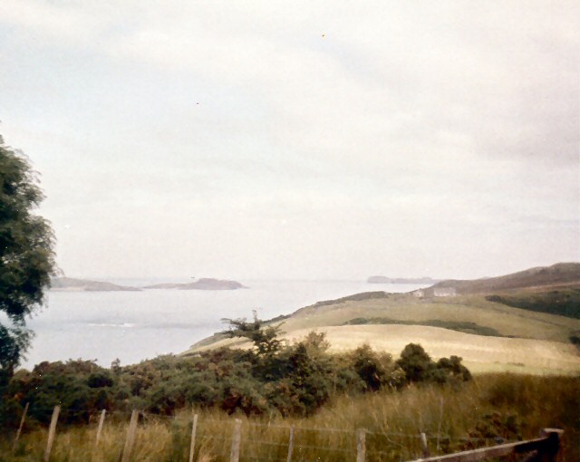
Strathtongue is a small, picturesque village located in the county of Sutherland, in the Scottish Highlands. Nestled amidst rolling hills and stunning natural beauty, it is situated in the heart of the Scottish countryside. With a population of only a few hundred residents, Strathtongue offers a tranquil and idyllic escape from the hustle and bustle of modern life.

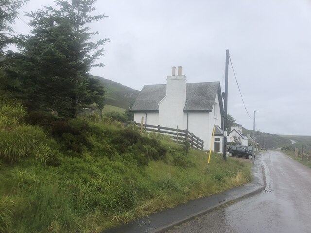
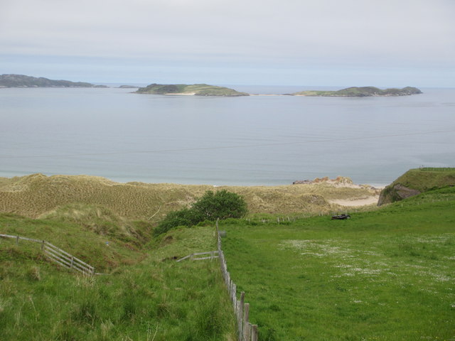
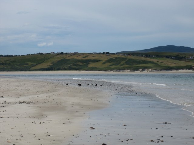
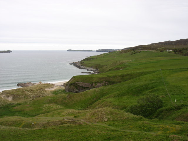
The village is characterized by its charming stone cottages, many of which date back several centuries. These traditional buildings add to the village's overall quaint and timeless atmosphere. The stunning landscape surrounding Strathtongue is dominated by lush green fields, meandering rivers, and majestic mountains, making it a haven for outdoor enthusiasts and nature lovers.

Strathtongue is also home to a small but welcoming community. The villagers are known for their friendliness and hospitality, and they take pride in their close-knit community spirit. The village has a local pub, where residents and visitors can enjoy a pint of traditional Scottish ale and engage in friendly conversations.

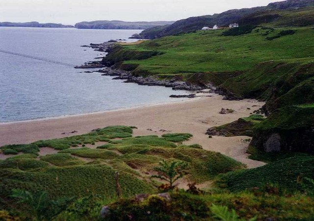
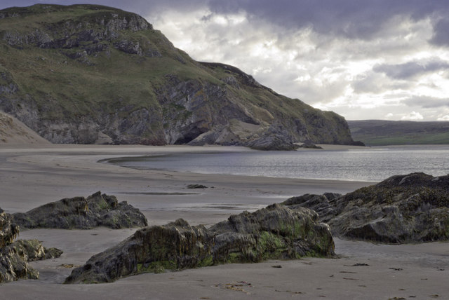
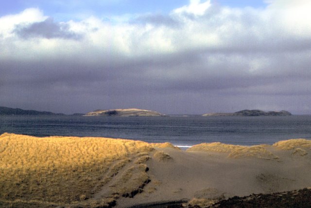
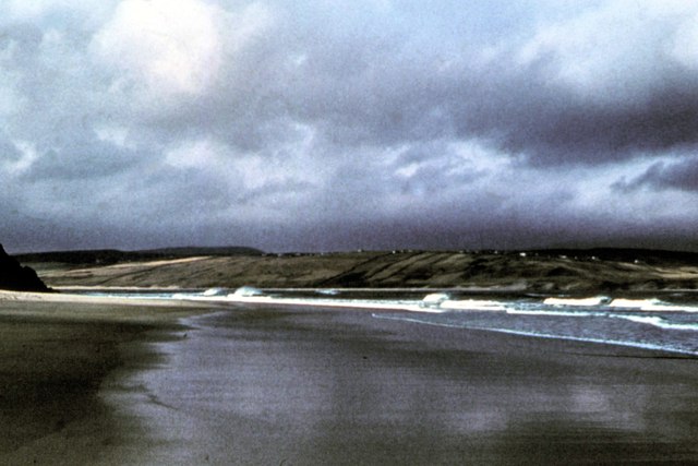
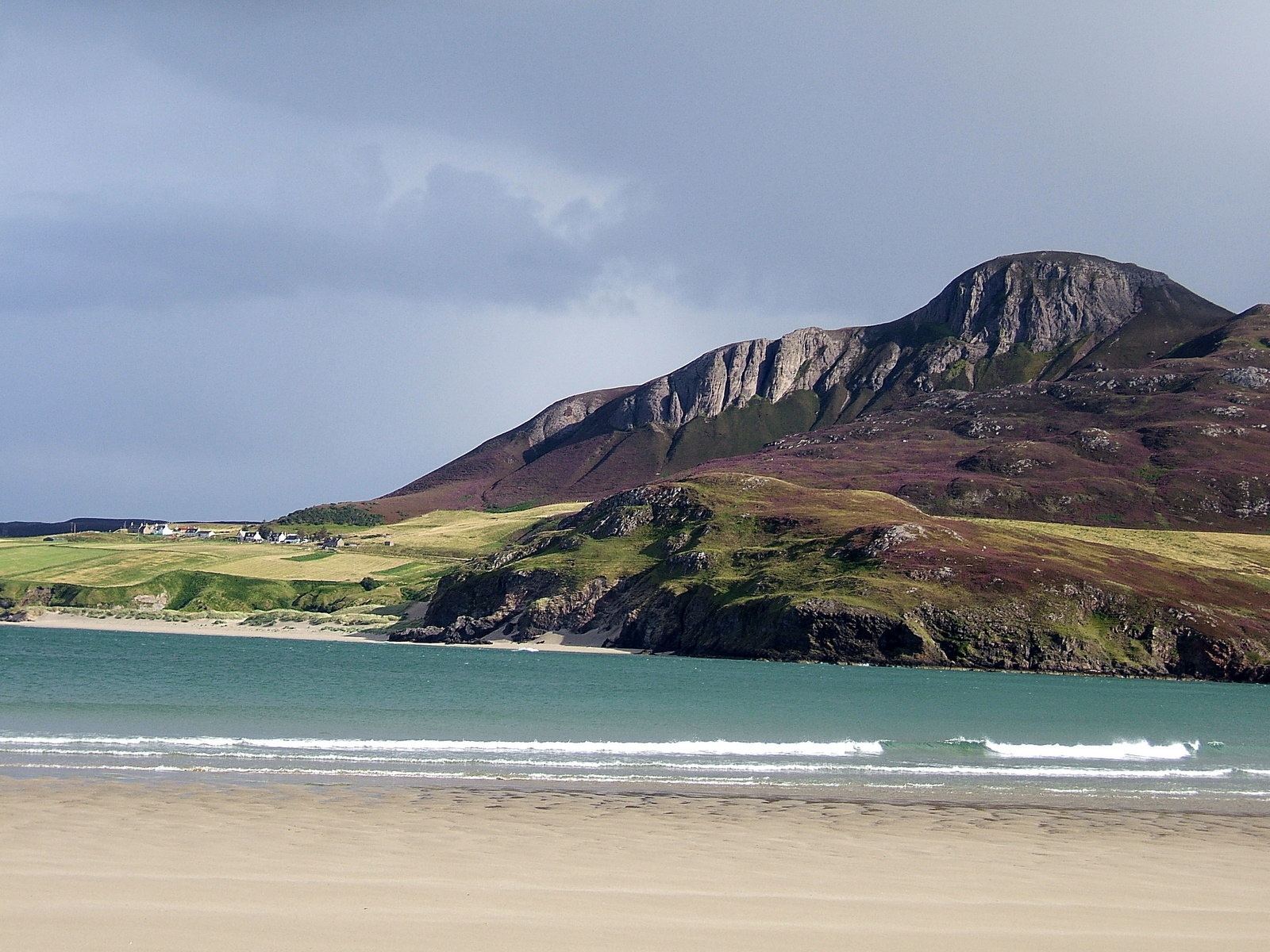
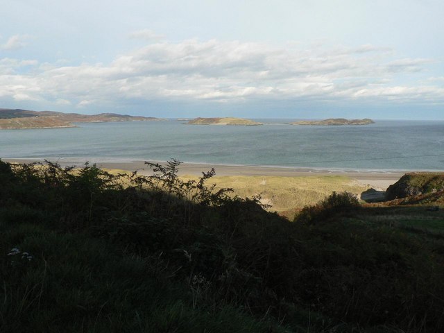
Despite its small size, Strathtongue is conveniently located near several popular tourist attractions. The nearby Dunrobin Castle, with its grand architecture and beautiful gardens, is a must-visit for history enthusiasts. The stunning beaches of the North Sea coast are also within easy reach, offering visitors the chance to relax and enjoy the scenic beauty of the area.

In summary, Strathtongue is a charming village in the heart of the Scottish Highlands. With its picturesque surroundings, friendly community, and proximity to popular tourist attractions, it offers a truly authentic Scottish experience.

If you have any feedback on the listing, please let us know in the comments section below.

Strathtongue Images

Images are sourced within 2km of 58.501606/-4.371423 or Grid Reference NC6159. Thanks to Geograph Open Source API. All images are credited.

A836, Coldbackie The A836 runs 122 miles from Dornoch Bridge to John O' Groats <a href="https://www.geograph.org.uk/photo/7086916">ND3872 : A836, John O' Groats</a>. Much of it is still single track.
<span class="nowrap"><a title="https://www.sabre-roads.org.uk/wiki/index.php?title=A836" rel="nofollow ugc noopener" href="https://www.sabre-roads.org.uk/wiki/index.php?title=A836">Link</a><img style="margin-left:2px;" alt="External link" title="External link - shift click to open in new window" src="https://s1.geograph.org.uk/img/external.png" width="10" height="10"/></span>
A836, Coldbackie
The A836 runs 122 miles from Dornoch Bridge to John O' Groats ND3872 : A836, John O' Groats. Much of it is still single track. LinkExternal link
View from Coldbackie Out over the bay with the Rabbit Islands distant.
View from Coldbackie
Out over the bay with the Rabbit Islands distant.
Tor Aluinn Holiday accommodation in Coldbackie
Tor Aluinn
Holiday accommodation in Coldbackie
Sand Dunes, Coldbackie The beach and sand dunes, Coldbackie, Sutherland.
Sand Dunes, Coldbackie
The beach and sand dunes, Coldbackie, Sutherland.
Evening at Coldbackie beach
Tongue Bay - 1978 Tongue Bay seen from the beach near Coldbackie. Rabbit Islands visible in the distance.
Tongue Bay - 1978
Tongue Bay seen from the beach near Coldbackie. Rabbit Islands visible in the distance.
Coldbackie beach - 1978 Coldbackie beach, Kyle of Tongue.
Coldbackie beach - 1978
Coldbackie beach, Kyle of Tongue.
Skullomie from Talmine View East from Talmine Campsite using  telephoto
Skullomie from Talmine
View East from Talmine Campsite using telephoto
Coldbackie beach With the Rabbit Islands in the distance.
Coldbackie beach
With the Rabbit Islands in the distance.
Coldbackie beach - Kyle of Tongue A parcel of oystercatchers spotted on the beach at the mouth of the kyle. The most westerly bay is only accessible at low tide. The township of Melness is seen across the kyle. The houses are those featured in the photograph taken in 1978 <a href="https://www.geograph.org.uk/photo/2965631">NC6060 : Coldbackie beach - 1978</a>.
Coldbackie beach - Kyle of Tongue
A parcel of oystercatchers spotted on the beach at the mouth of the kyle. The most westerly bay is only accessible at low tide. The township of Melness is seen across the kyle. The houses are those featured in the photograph taken in 1978 NC6060 : Coldbackie beach - 1978.
Tongue Bay at Coldbackie Eilean nan Ron in the distance, centre. Rabbit Islands on the left.
Tongue Bay at Coldbackie
Eilean nan Ron in the distance, centre. Rabbit Islands on the left.
Junction at Strathtongue
Junction leading to Skerray
Rhitongue Looking across fields towards the Kyle of Tongue from the A838 South of Coldbackie.
Rhitongue
Looking across fields towards the Kyle of Tongue from the A838 South of Coldbackie.
Loch Buidhe
Loch Buidhe
Renovating old school near Coldbackie
Junction for Scullomie at Lochan Dubh One of many roads along the A836 leading North to coastal crofting townships.
Junction for Scullomie at Lochan Dubh
One of many roads along the A836 leading North to coastal crofting townships.
Whin luxuriant at Lochan Dubh
Show me another place!

Strathtongue is located at Grid Ref: NC6159 (Lat: 58.501606, Lng: -4.371423)

Unitary Authority: Highland

Police Authority: Highlands and Islands

What 3 Words

///control.sock.clinic. Near Altnaharra, Highland

Related Wikis

Coldbackie

Coldbackie (Scottish Gaelic: Callbacaidh) is a crofting township in Sutherland and is in the Scottish council area of Highland Scotland. == Geography... ==

Cnoc an Fhreiceadain

Cnoc an Fhreiceadain (Hill of Watching or Watch Hill) is a coastal mountain peak in northern Scotland. It is 307 metres (1,007 ft) high with commanding...

Skullomie

Scullomie is a small fishing and crofting township at the head of Tongue Bay in Sutherland in the Scottish Highlands. It is located around 3 miles (4...

Tongue Bay

Tongue Bay (Scottish Gaelic: Tunga from Old Norse: Tunga) is located in northwest Highland, Scotland, in the western part of the former county of Sutherland...

Nearby Amenities

Located within 500m of 58.501606,-4.371423
Power: pole
Lat/Long: 58.5020238/-4.3636765
Power: pole
Lat/Long: 58.5021198/-4.3648405
Power: pole
Lat/Long: 58.5022439/-4.3660167
Power: pole
Lat/Long: 58.5023581/-4.3664418
Power: pole
Lat/Long: 58.502494/-4.3665142
Power: pole
Lat/Long: 58.5023005/-4.3671402
Power: pole
Lat/Long: 58.5024521/-4.36788
Power: pole
Lat/Long: 58.5027888/-4.3685419
Power: pole
Lat/Long: 58.5030247/-4.3696067
Power: pole
Lat/Long: 58.5035007/-4.3717773
Power: pole
Lat/Long: 58.503876/-4.3734437
Power: pole
Lat/Long: 58.5030766/-4.367841
Power: pole
Lat/Long: 58.5032424/-4.3673777
Bus Stop
Naptan AtcoCode: 6700481
Naptan NaptanCode: 45345369
Shelter: yes
Lat/Long: 58.5016028/-4.3659716
The data included in this document is from www.openstreetmap.org. The data is made available under ODbL.

Have you been to Strathtongue?

Leave your review of Strathtongue below (or comments, questions and feedback).