Stopper's Hill

Settlement in Wiltshire

England

Stopper's Hill

Wiltshire farmland
Wiltshire farmland Credit: N Chadwick

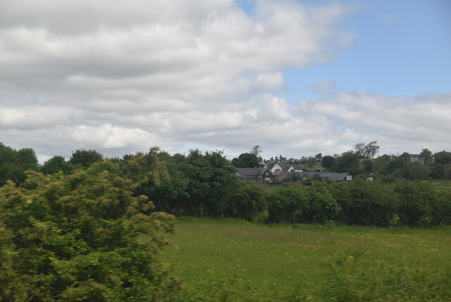
Stopper's Hill is a picturesque area located in the county of Wiltshire, England. Situated on the outskirts of the charming village of Lacock, it is nestled within the beautiful countryside of the Cotswolds. The hill is renowned for its stunning views, making it a popular destination for tourists and locals alike.

The hill itself is relatively small, standing at an elevation of approximately 100 meters. Despite its modest height, the panoramic vistas it offers are truly breathtaking. From the top of Stopper's Hill, visitors can marvel at the rolling green fields, quaint cottages, and winding country lanes that characterize the Wiltshire landscape.

Stopper's Hill is also notable for its historical significance. In close proximity to the hill, there are remnants of ancient Roman settlements and earthworks, providing fascinating insights into the region's past. The area is also home to several walking trails, allowing visitors to explore the surrounding countryside and immerse themselves in the tranquility and natural beauty of the area.

In addition to its natural and historical attractions, Stopper's Hill is conveniently located near the village of Lacock. Lacock is renowned for its well-preserved medieval architecture, including the picturesque Lacock Abbey. Visitors can enjoy exploring its narrow streets, charming shops, and cozy pubs, immersing themselves in its timeless atmosphere.

Overall, Stopper's Hill, Wiltshire, is a hidden gem that offers a perfect blend of natural beauty, historical significance, and cultural charm. It is a place where visitors can escape the hustle and bustle of modern life and immerse themselves in the idyllic countryside of Wiltshire.

If you have any feedback on the listing, please let us know in the comments section below.

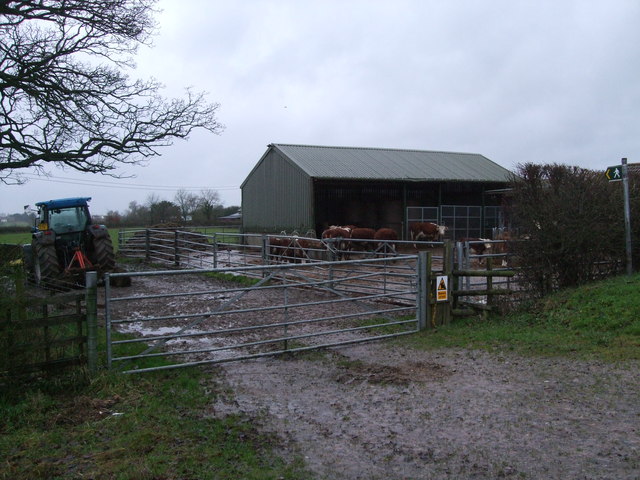
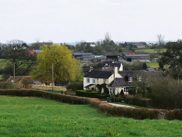
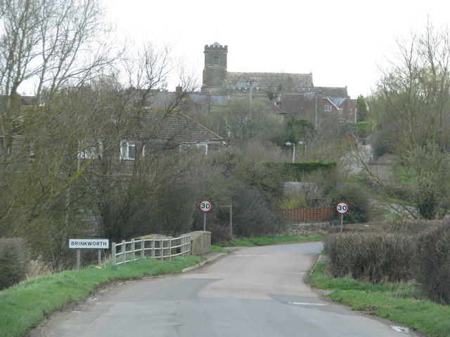
Stopper's Hill Images

Images are sourced within 2km of 51.56567/-1.9648655 or Grid Reference SU0285. Thanks to Geograph Open Source API. All images are credited.

Wiltshire farmland
Wiltshire farmland
Countryside near Brinkworth
Pillbox In 1940 a network of defences was hastily built all over Britain to prevent an expected German invasion. The most common of these defences were called “pillboxes”, squat concrete forts that were sited at road junctions, canals and other strategic points.

With the passage of time it is estimated that fewer than 6,000 of a total of 28,000 pillboxes built still survive. They remain as permanent monuments and a silent tribute to the courage and tenacity of the British people during the dark days of 1940 when Britain stood alone against Nazi Germany.

More detail see <span class="nowrap"><a title="www.pillboxesuk.co.uk" rel="nofollow ugc noopener" href="http://www.pillboxesuk.co.uk">Link</a><img style="margin-left:2px;" alt="External link" title="External link - shift click to open in new window" src="https://s1.geograph.org.uk/img/external.png" width="10" height="10"/></span>
Pillbox
In 1940 a network of defences was hastily built all over Britain to prevent an expected German invasion. The most common of these defences were called “pillboxes”, squat concrete forts that were sited at road junctions, canals and other strategic points. With the passage of time it is estimated that fewer than 6,000 of a total of 28,000 pillboxes built still survive. They remain as permanent monuments and a silent tribute to the courage and tenacity of the British people during the dark days of 1940 when Britain stood alone against Nazi Germany. More detail see LinkExternal link
Pillbox
Pillbox
Freight Train at Callow Hill Freightliner container train on the main line at Callow Hill.
Freight Train at Callow Hill
Freightliner container train on the main line at Callow Hill.
View over Dauntsey Vale from Callow Hill, Brinkworth A view over the Vale of Dauntsey taken from Callow Hill, Brinkworth. Lyneham Airfield was situated on top of the hill in the distance.
View over Dauntsey Vale from Callow Hill, Brinkworth
A view over the Vale of Dauntsey taken from Callow Hill, Brinkworth. Lyneham Airfield was situated on top of the hill in the distance.
Penn's Lodge Farm, Brinkworth Farmhouse standing on top of a hill just south of Somerford Common.
Penn's Lodge Farm, Brinkworth
Farmhouse standing on top of a hill just south of Somerford Common.
Flooded footpath, Brinkworth This footpath was impassable today after prolonged rain. The church of Saint Michael and All Angels, Brinkworth, can be seen in the distance.
Flooded footpath, Brinkworth
This footpath was impassable today after prolonged rain. The church of Saint Michael and All Angels, Brinkworth, can be seen in the distance.
Flooded footpath, Brinkworth The stream that runs through this field has completely burst its banks after prolonged rain, making the footpath impassable. The horses which are normally in the field had fortunately been moved to safety. In the background is Ramps Hill.
Flooded footpath, Brinkworth
The stream that runs through this field has completely burst its banks after prolonged rain, making the footpath impassable. The horses which are normally in the field had fortunately been moved to safety. In the background is Ramps Hill.
Green Keeper Retreat, Brinkworth This house stands right at the end of a track running through Woodbridge Park Golf Club, Brinkworth. It is built in what used to be the yard of Longmans Farm, the farmhouse of which is behind and to the left of the photographer.
Green Keeper Retreat, Brinkworth
This house stands right at the end of a track running through Woodbridge Park Golf Club, Brinkworth. It is built in what used to be the yard of Longmans Farm, the farmhouse of which is behind and to the left of the photographer.
Stoppers Hill, Brinkworth The view looking down Stoppers Hill, Brinkworth.
Stoppers Hill, Brinkworth
The view looking down Stoppers Hill, Brinkworth.
Brooklands, Brinkworth Built as a council estate probably in the late 1940s/early 1950s, no thought was given to providing parking space either in front or behind this particular row of houses, which has a narrow paths back and front. While some houses on the estate are now owner-occupied, many are still council houses, and their appearance is in strong contrast to all the other houses in the village.
Brooklands, Brinkworth
Built as a council estate probably in the late 1940s/early 1950s, no thought was given to providing parking space either in front or behind this particular row of houses, which has a narrow paths back and front. While some houses on the estate are now owner-occupied, many are still council houses, and their appearance is in strong contrast to all the other houses in the village.
The Old Police House, The Street, Brinkworth This former Police house dating to 1913 has been converted to a luxury private dwelling.
The Old Police House, The Street, Brinkworth
This former Police house dating to 1913 has been converted to a luxury private dwelling.
Church of Saint Michael and All Angels, Brinkworth An unusual view, taken from the south. This Grade I listed parish church <span class="nowrap"><a title="http://www.britishlistedbuildings.co.uk/en-315633-church-of-st-micheal-brinkworth-" rel="nofollow ugc noopener" href="http://www.britishlistedbuildings.co.uk/en-315633-church-of-st-micheal-brinkworth-">Link</a><img style="margin-left:2px;" alt="External link" title="External link - shift click to open in new window" src="https://s1.geograph.org.uk/img/external.png" width="10" height="10"/></span> was built in the 14th and 15th centuries and restored in the late 19th century.
Church of Saint Michael and All Angels, Brinkworth
An unusual view, taken from the south. This Grade I listed parish church LinkExternal link was built in the 14th and 15th centuries and restored in the late 19th century.
Cattle shed, Southlands Lodge, Brinkworth Southlands Lodge is an animal breeding centre specialising in rare, minority and traditional breeds of cattle, sheep and poultry.
Cattle shed, Southlands Lodge, Brinkworth
Southlands Lodge is an animal breeding centre specialising in rare, minority and traditional breeds of cattle, sheep and poultry.
Lane heading east on the north edge of Somerford Common
Sharp bend on the B4042 near Brinkworth A sharp bend in the road as it nears Brinkworth. On the apex of the bend is the beginning of a footpath, and near it, a gate over which can be seen Dauntsey Vale, with the escarpment upon which Lyneham stands in the distance. The pavement on the right of the road peters out before it reaches Brinkworth and is used more by horses than people.
Sharp bend on the B4042 near Brinkworth
A sharp bend in the road as it nears Brinkworth. On the apex of the bend is the beginning of a footpath, and near it, a gate over which can be seen Dauntsey Vale, with the escarpment upon which Lyneham stands in the distance. The pavement on the right of the road peters out before it reaches Brinkworth and is used more by horses than people.
Track, Somerford Common Track through the woods in Somerford Common.
Track, Somerford Common
Track through the woods in Somerford Common.
Show me another place!

Stopper's Hill is located at Grid Ref: SU0285 (Lat: 51.56567, Lng: -1.9648655)

Unitary Authority: Wiltshire

Police Authority: Wiltshire

What 3 Words

///fallback.flamed.attending. Near Royal Wootton Bassett, Wiltshire

Related Wikis

Braydon Side

Braydon Side is a farming hamlet in north Wiltshire, England, in the parish of Brinkworth. It lies about 0.9 miles (1.4 km) north of Brinkworth village...

Brinkworth, Wiltshire

Brinkworth is a village and civil parish in northern Wiltshire, England. The village lies between Royal Wootton Bassett and Malmesbury, about 1 mile (1...

Cricklade and Wootton Bassett Rural District

Cricklade and Wootton Bassett Rural District was a rural district in the county of Wiltshire, England. It lay to the west and southwest of the town and...

Ravensroost Wood

Ravensroost Wood (grid reference SU022882) is a 43.7 hectare biological Site of Special Scientific Interest in north Wiltshire, England. The site lies...

Nearby Amenities

Located within 500m of 51.56567,-1.9648655
Give Way
Direction: forward
Lat/Long: 51.5655508/-1.961792
Note: Changes from Box Bush to Fritterswell here
Lat/Long: 51.5646933/-1.9669307
Post Box
Post Box Type: wall
Ref: SN15 9
Royal Cypher: GVIR
Royal Cypher Wikidata: Q33102169
Lat/Long: 51.5657533/-1.9645464
Give Way
Direction: forward
Lat/Long: 51.5652049/-1.9664855
Give Way
Direction: forward
Lat/Long: 51.565701/-1.9648556
Barrier: stile
Lat/Long: 51.5699925/-1.9649727
Bus Stop
Minety Turn
Bus: yes
Naptan AtcoCode: 4600WIA11326
Naptan Bearing: W
Naptan CommonName: Minety Turn
Naptan Indicator: W-bound
Naptan NaptanCode: wilatpgm
Naptan Street: The Common
Naptan Verified: no
Public Transport: platform
Ref: wilatpgm
Lat/Long: 51.5656483/-1.9641354
Bus Stop
Minety Turn
Bus: yes
Naptan AtcoCode: 4600WIA11325
Naptan Bearing: E
Naptan CommonName: Minety Turn
Naptan Indicator: E-bound
Naptan NaptanCode: wilatpgd
Naptan Street: The Common
Naptan Verified: no
Public Transport: platform
Ref: wilatpgm
Lat/Long: 51.5657584/-1.9641487
The data included in this document is from www.openstreetmap.org. The data is made available under ODbL.

Have you been to Stopper's Hill?

Leave your review of Stopper's Hill below (or comments, questions and feedback).