Stonydelph

Settlement in Warwickshire Tamworth

England

Stonydelph

Trinity Road and the M42 Parallel roads with differing amounts of traffic on this foggy December morning.
Trinity Road and the M42 Credit: Jonathan Billinger

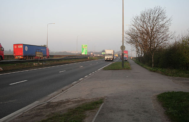
Stonydelph is a small residential area located in the county of Warwickshire, England. Situated on the outskirts of Tamworth, it is part of the borough of Tamworth and falls under the parliamentary constituency of Tamworth. The town of Stonydelph is bordered by the A5 road to the north and the River Tame to the south.

Primarily developed in the 1960s, Stonydelph is characterized by its well-planned housing estates, which consist mainly of semi-detached and terraced houses. The area has seen some development since its inception, with newer properties and amenities being built to cater to the growing population. Stonydelph is home to a mix of residents from diverse backgrounds, creating a vibrant and multicultural community.

The area benefits from various amenities, including a local shopping center, schools, and recreational facilities. Residents can enjoy outdoor activities at Stonydelph Recreation Ground, which offers open green spaces, playgrounds, and sports facilities. The nearby Ventura Retail Park provides a range of shopping options, including popular retail stores, restaurants, and a cinema.

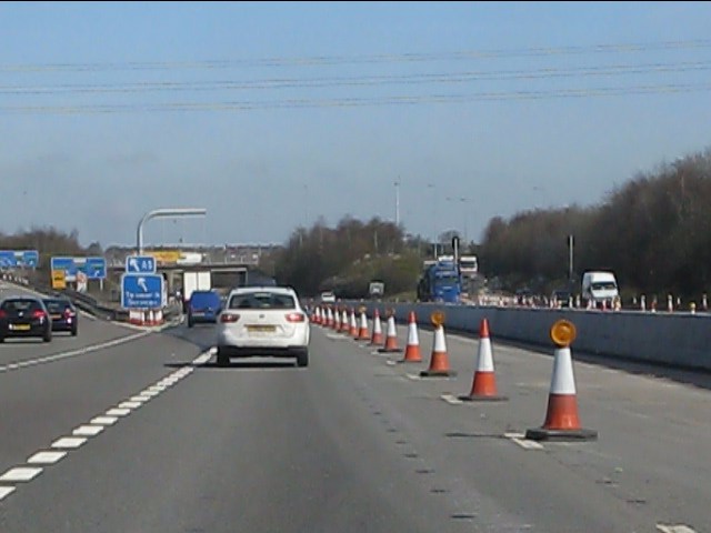
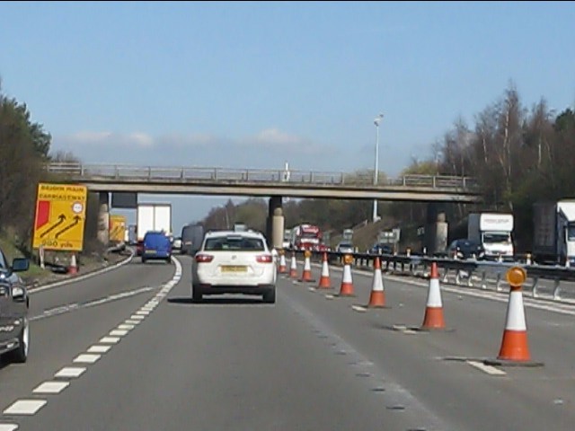
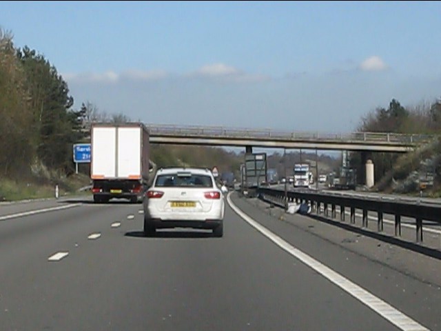
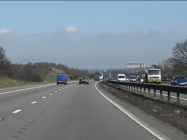
Stonydelph benefits from excellent transport links, with easy access to the A5 road, connecting it to nearby towns and cities. The area also has good bus services, providing convenient transportation options for residents.

Overall, Stonydelph is a well-established residential area in Warwickshire, offering a pleasant and convenient living environment for its residents.

If you have any feedback on the listing, please let us know in the comments section below.
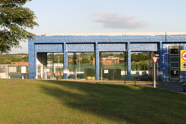
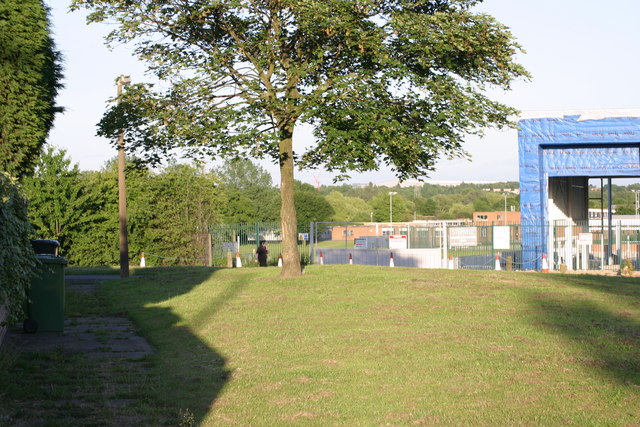
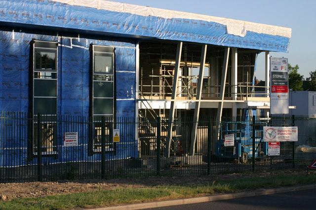
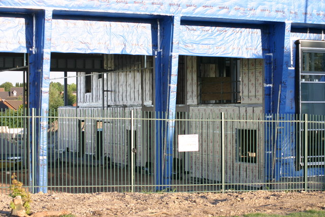
Stonydelph Images

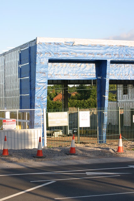
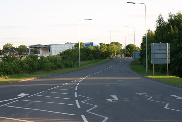
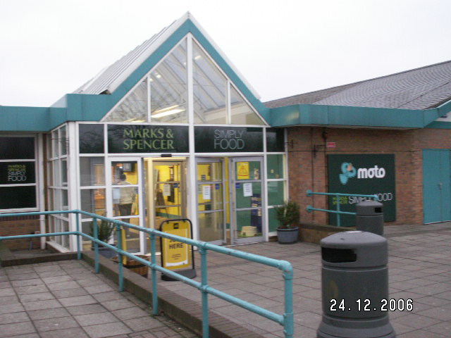
Images are sourced within 2km of 52.614436/-1.6492923 or Grid Reference SK2301. Thanks to Geograph Open Source API. All images are credited.

Trinity Road and the M42 Parallel roads with differing amounts of traffic on this foggy December morning.
Trinity Road and the M42
Parallel roads with differing amounts of traffic on this foggy December morning.
The A5 (Watling Street) near Tamworth In the 9th century Watling Street delineated the boundary between the Anglo-Saxon south and Danish north of what was to become England following the defeat of the Danes by Alfred the Great.
The A5 (Watling Street) near Tamworth
In the 9th century Watling Street delineated the boundary between the Anglo-Saxon south and Danish north of what was to become England following the defeat of the Danes by Alfred the Great.
Trees in mist
Trees in mist
Semis on the A5 South east of Tamworth.
Semis on the A5
South east of Tamworth.
Gables in the mist Industrial units near Tamworth Services taken from the other side of the M42 by the A5.
Gables in the mist
Industrial units near Tamworth Services taken from the other side of the M42 by the A5.
M42 Motorway at junction 10 (A5)
M42 Motorway - southern bridge at junction 10 One of the pair of bridges at this classic UK motorway roundabout junction.
M42 Motorway - southern bridge at junction 10
One of the pair of bridges at this classic UK motorway roundabout junction.
M42 Motorway - northern bridge at junction 10 One of the pair of bridges at this classic UK motorway roundabout junction.
M42 Motorway - northern bridge at junction 10
One of the pair of bridges at this classic UK motorway roundabout junction.
M42 Motorway - minor road overbridge near Birchmoor
M42 Motorway - B5000 overbridge
M42 Motorway curving around Polesworth
Tamworth Community Fire Station  (4) This photograph <a href="https://www.geograph.org.uk/photo/2019538">SK2202 : Tamworth Community Fire Station  (1)</a> shows another view of this Fire Station, from virtually the same viewpoint, but from an earlier date in Construction.
Tamworth Community Fire Station (4)
This photograph SK2202 : Tamworth Community Fire Station (1) shows another view of this Fire Station, from virtually the same viewpoint, but from an earlier date in Construction.
Tamworth Community Fire Station  (5) This photograph <a href="https://www.geograph.org.uk/photo/2019550">SK2202 : Tamworth Community Fire Station  (2)</a> shows a view from virtually the same viewpoint, but from an earlier date in construction.
Tamworth Community Fire Station (5)
This photograph SK2202 : Tamworth Community Fire Station (2) shows a view from virtually the same viewpoint, but from an earlier date in construction.
Tamworth Community Fire Station  (6) This photograph <a href="https://www.geograph.org.uk/photo/2424592">SK2202 : Tamworth Community Fire Station  (4)</a> shows another view of this Fire Station.
Tamworth Community Fire Station (6)
This photograph SK2202 : Tamworth Community Fire Station (4) shows another view of this Fire Station.
Tamworth Community Fire Station  (7) This photograph <a href="https://www.geograph.org.uk/photo/2424608">SK2202 : Tamworth Community Fire Station  (5)</a> shows another view of the above Fire station.
Tamworth Community Fire Station (7)
This photograph SK2202 : Tamworth Community Fire Station (5) shows another view of the above Fire station.
Tamworth Community Fire Station  (8) This photograph <a href="https://www.geograph.org.uk/photo/2424618">SK2202 : Tamworth Community Fire Station  (6)</a> shows another view of this Fire Station.
Tamworth Community Fire Station (8)
This photograph SK2202 : Tamworth Community Fire Station (6) shows another view of this Fire Station.
Tamworth Community Fire Station  (9) This photograph <a href="https://www.geograph.org.uk/photo/2424630">SK2202 : Tamworth Community Fire Station  (7)</a> shows another view of this Fire station.
Tamworth Community Fire Station (9)
This photograph SK2202 : Tamworth Community Fire Station (7) shows another view of this Fire station.
Tamworth Community Fire Station  (10) The above photograph shows this Fire station in the distance to the left handside of the photograph. This photograph <a href="https://www.geograph.org.uk/photo/2424608">SK2202 : Tamworth Community Fire Station  (5)</a> shows another view of this Fire station.
Tamworth Community Fire Station (10)
The above photograph shows this Fire station in the distance to the left handside of the photograph. This photograph SK2202 : Tamworth Community Fire Station (5) shows another view of this Fire station.
Show me another place!

Stonydelph is located at Grid Ref: SK2301 (Lat: 52.614436, Lng: -1.6492923)

Administrative County: Staffordshire

District: Tamworth

Police Authority: Staffordshire

What 3 Words

///eggs.slot.moods. Near Polesworth, Warwickshire

Nearby Locations

Stonydelph Quarry Hill

Related Wikis

Stonydelph

Stonydelph is a neighbourhood about 2 miles (3 km) south east of the centre of Tamworth, Staffordshire. A spelling of "Stoneydelph" is sometimes used but...

Tamworth services

Tamworth services is a motorway service station on the M42 motorway near Tamworth Staffordshire, England. The border between Staffordshire and Warwickshire...

Tamworth Enterprise College

Tamworth Enterprise College (formerly Belgrave High School) is a coeducational secondary school with academy status in Tamworth, Staffordshire, England...

Birchmoor

Birchmoor is a former coal mining village in the North Warwickshire district of Warwickshire, England. It lies about one mile southwest of Polesworth...

Nearby Amenities

Located within 500m of 52.614436,-1.6492923
Speed Camera
Lat/Long: 52.6147135/-1.6502833
Source: bing
Traffic Calming: bump
Lat/Long: 52.6130928/-1.6424463
Source: bing
Traffic Calming: bump
Lat/Long: 52.611769/-1.6434233
Post Box
Ref: B77 185
Lat/Long: 52.6159523/-1.6442048
Post Box
Ref: B77 423
Lat/Long: 52.6173661/-1.6496126
Stonydelph
Is In Town: Tamworth
Place: suburb
Wikidata: Q7619621
Lat/Long: 52.6174012/-1.6499523
Pennymoor Community Centre
Building: public
Lat/Long: 52.6113631/-1.65104
School
Dales Infant School
Lat/Long: 52.6143097/-1.6500516
School
Dales Junior School
Lat/Long: 52.6139946/-1.6512358
Malham Road
Naptan AtcoCode: 3800C906201
Naptan Bearing: SE
Naptan BusStopType: CUS
Naptan CommonName: Malham Road
Naptan Indicator: Adj
Naptan Landmark: Malham Road
Naptan PlusbusZoneRef: TAMWORTH
Naptan Street: Pennine Way
Naptan Verified: no
Source: naptan_import
Lat/Long: 52.6145845/-1.6493834
Malham Road
Naptan AtcoCode: 3800C906202
Naptan Bearing: NW
Naptan BusStopType: CUS
Naptan CommonName: Malham Road
Naptan Indicator: Opp
Naptan Landmark: Malham Road
Naptan PlusbusZoneRef: TAMWORTH
Naptan Street: Pennine Way
Naptan Verified: no
Source: naptan_import
Lat/Long: 52.614414/-1.6495029
Bus Stop
Crowden Road
Bus: yes
Naptan AtcoCode: 3800C910301
Naptan Bearing: S
Naptan CommonName: Crowden Road
Naptan Indicator: Opp
Naptan Landmark: Crowden Rd
Naptan PlusbusZoneRef: TAMWORTH
Naptan Street: Pennine Way
Naptan Verified: no
Public Transport: platform
Source: naptan_import
Lat/Long: 52.6174719/-1.6529791
Bus Stop
Crowden Road
Bus: yes
Naptan AtcoCode: 3800C910302
Naptan Bearing: N
Naptan CommonName: Crowden Road
Naptan Indicator: Adj
Naptan Landmark: Crowden Rd
Naptan PlusbusZoneRef: TAMWORTH
Naptan Street: Pennine Way
Naptan Verified: no
Public Transport: platform
Source: naptan_import
Lat/Long: 52.6176248/-1.6530074
Bus Stop
Dales School
Bus: yes
Naptan AtcoCode: 3800C910401
Naptan Bearing: N
Naptan CommonName: Dales School
Naptan Indicator: Adj
Naptan Landmark: Dales School
Naptan PlusbusZoneRef: TAMWORTH
Naptan Street: Fossdale Rd
Naptan Verified: no
Public Transport: platform
Source: naptan_import
Lat/Long: 52.6148251/-1.6517298
Bus Stop
Dales School
Bus: yes
Naptan AtcoCode: 3800C910402
Naptan Bearing: S
Naptan CommonName: Dales School
Naptan Indicator: Adj
Naptan Landmark: Dale School
Naptan PlusbusZoneRef: TAMWORTH
Naptan Street: Fossdale Rd
Naptan Verified: no
Public Transport: platform
Source: naptan_import
Lat/Long: 52.6147706/-1.6515382
Bus Stop
Hebden
Bus: yes
Naptan AtcoCode: 3800C910501
Naptan Bearing: N
Naptan CommonName: Hebden
Naptan Indicator: Opp
Naptan Landmark: Hebden
Naptan PlusbusZoneRef: TAMWORTH
Naptan Street: Fossdale Rd
Naptan Verified: no
Public Transport: platform
Source: naptan_import
Lat/Long: 52.6132468/-1.6530716
Bus Stop
Hebden
Bus: yes
Naptan AtcoCode: 3800C910601
Naptan Bearing: S
Naptan CommonName: Hebden
Naptan Indicator: Adj
Naptan Landmark: Hebdon
Naptan PlusbusZoneRef: TAMWORTH
Naptan Street: Fossdale Rd
Naptan Verified: no
Public Transport: platform
Source: naptan_import
Lat/Long: 52.613049/-1.6530584
Bus Stop
Hawkside
Bus: yes
Naptan AtcoCode: 3800C910701
Naptan Bearing: NE
Naptan CommonName: Hawkside
Naptan Indicator: Opp
Naptan Landmark: Hawkside
Naptan PlusbusZoneRef: TAMWORTH
Naptan Street: Fossdale Rd
Naptan Verified: no
Public Transport: platform
Source: naptan_import
Lat/Long: 52.6125583/-1.6543472
Bus Stop
Hawkside
Bus: yes
Naptan AtcoCode: 3800C910702
Naptan Bearing: W
Naptan CommonName: Hawkside
Naptan Indicator: Adj
Naptan Landmark: Hawkside
Naptan PlusbusZoneRef: TAMWORTH
Naptan Street: Fossdale Rd
Naptan Verified: no
Public Transport: platform
Source: naptan_import
Lat/Long: 52.6124333/-1.6546288
Bus Stop
Gayle Road
Bus: yes
Naptan AtcoCode: 3800C910901
Naptan Bearing: N
Naptan CommonName: Gayle Road
Naptan Indicator: Adj
Naptan Landmark: Gayle
Naptan PlusbusZoneRef: TAMWORTH
Naptan Street: Fossdale Rd
Naptan Verified: no
Public Transport: platform
Source: naptan_import
Lat/Long: 52.6157712/-1.655533
Bus Stop
Gayle
Bus: yes
Naptan AtcoCode: 3800C910902
Naptan Bearing: S
Naptan CommonName: Gayle
Naptan Indicator: Opp
Naptan Landmark: Gayle
Naptan PlusbusZoneRef: TAMWORTH
Naptan Street: Fossdale Rd
Naptan Verified: no
Public Transport: platform
Source: naptan_import
Lat/Long: 52.6159589/-1.6551623
Bus Stop
Murton
Bus: yes
Naptan AtcoCode: 3800C911001
Naptan Bearing: E
Naptan CommonName: Murton
Naptan Indicator: Adj
Naptan Landmark: Murton
Naptan PlusbusZoneRef: TAMWORTH
Naptan Street: Malham Rd
Naptan Verified: no
Public Transport: platform
Source: naptan_import
Lat/Long: 52.6127509/-1.6464885
Bus Stop
Murton
Bus: yes
Naptan AtcoCode: 3800C911002
Naptan Bearing: W
Naptan CommonName: Murton
Naptan Indicator: Adj
Naptan Landmark: Murton
Naptan PlusbusZoneRef: TAMWORTH
Naptan Street: Malham Rd
Naptan Verified: no
Public Transport: platform
Source: naptan_import
Lat/Long: 52.6126875/-1.6463265
Bus Stop
Milburn
Bus: yes
Naptan AtcoCode: 3800C911101
Naptan Bearing: NE
Naptan CommonName: Milburn
Naptan Indicator: Adj
Naptan Landmark: Milburn
Naptan PlusbusZoneRef: TAMWORTH
Naptan Street: Malham Rd
Naptan Verified: no
Public Transport: platform
Source: naptan_import
Lat/Long: 52.6132251/-1.6427481
Bus Stop
Mossdale
Bus: yes
Naptan AtcoCode: 3800C911102
Naptan Bearing: W
Naptan CommonName: Mossdale
Naptan Indicator: Adj
Naptan Landmark: Mossdale
Naptan PlusbusZoneRef: TAMWORTH
Naptan Street: Malham Rd
Naptan Verified: no
Public Transport: platform
Source: naptan_import
Lat/Long: 52.6129753/-1.6433852
Bus Stop
Mellwaters
Bus: yes
Naptan AtcoCode: 3800C911201
Naptan Bearing: N
Naptan CommonName: Mellwaters
Naptan Indicator: Adj
Naptan Landmark: Mellwaters
Naptan PlusbusZoneRef: TAMWORTH
Naptan Street: Malham Rd
Naptan Verified: no
Public Transport: platform
Source: naptan_import
Lat/Long: 52.6149585/-1.6421875
Bus Stop
Lowforce
Bus: yes
Naptan AtcoCode: 3800C911301
Naptan Bearing: E
Naptan CommonName: Lowforce
Naptan Indicator: Opp
Naptan Landmark: Lowforce
Naptan PlusbusZoneRef: TAMWORTH
Naptan Street: Malham Rd
Naptan Verified: no
Public Transport: platform
Source: naptan_import
Lat/Long: 52.6161056/-1.6439801
Bus Stop
Loughshaw
Bus: yes
Naptan AtcoCode: 3800C911302
Naptan Bearing: SW
Naptan CommonName: Loughshaw
Naptan Indicator: Opp
Naptan Landmark: Loughshaw
Naptan PlusbusZoneRef: TAMWORTH
Naptan Street: Malham Rd
Naptan Verified: no
Public Transport: platform
Source: naptan_import
Lat/Long: 52.6159542/-1.6444392
Bus Stop
Pennymoor Road
Bus: yes
Naptan AtcoCode: 3800C911401
Naptan Bearing: S
Naptan CommonName: Pennymoor Road
Naptan Indicator: Opp
Naptan Landmark: Pennymoor Rd (N)
Naptan PlusbusZoneRef: TAMWORTH
Naptan Street: Pennine Way
Naptan Verified: no
Public Transport: platform
Source: naptan_import
Lat/Long: 52.611655/-1.6468075
Bus Stop
Pennymoor Road
Bus: yes
Naptan AtcoCode: 3800C911402
Naptan Bearing: N
Naptan CommonName: Pennymoor Road
Naptan Indicator: Adj
Naptan Landmark: Pennymoor Rd (N)
Naptan PlusbusZoneRef: TAMWORTH
Naptan Street: Pennine Way
Naptan Verified: no
Public Transport: platform
Source: naptan_import
Lat/Long: 52.6115747/-1.6469853
Bus Stop
Lintly
Bus: yes
Naptan AtcoCode: 3800C911501
Naptan Bearing: E
Naptan CommonName: Lintly
Naptan Indicator: Adj
Naptan Landmark: Lintly
Naptan PlusbusZoneRef: TAMWORTH
Naptan Street: Malham Road
Naptan Verified: no
Public Transport: platform
Source: naptan_import
Lat/Long: 52.6152009/-1.6480639
Bus Stop
Lothersdale
Bus: yes
Naptan AtcoCode: 3800C911502
Naptan Bearing: W
Naptan CommonName: Lothersdale
Naptan Indicator: Adj
Naptan Landmark: Lothersdale
Naptan PlusbusZoneRef: TAMWORTH
Naptan Street: Malham Rd
Naptan Verified: no
Public Transport: platform
Source: naptan_import
Lat/Long: 52.6151814/-1.6475619
Bus Stop
Ribblesdale
Bus: yes
Naptan AtcoCode: 3800C911801
Naptan Bearing: NE
Naptan CommonName: Ribblesdale
Naptan Indicator: Opp
Naptan Landmark: Ribblesdale
Naptan PlusbusZoneRef: TAMWORTH
Naptan Street: Pennymoor Way
Naptan Verified: no
Public Transport: platform
Source: naptan_import
Lat/Long: 52.6111999/-1.6509759
Ribblesdale
Naptan AtcoCode: 3800C911802
Naptan Bearing: SW
Naptan BusStopType: CUS
Naptan CommonName: Ribblesdale
Naptan Indicator: Adj
Naptan Landmark: Ribblesdale
Naptan PlusbusZoneRef: TAMWORTH
Naptan Street: Pennymoor Way
Naptan Verified: no
Source: naptan_import
Lat/Long: 52.6110652/-1.651036
Bus Stop
Rainscar
Bus: yes
Naptan AtcoCode: 3800C922001
Naptan Bearing: SE
Naptan CommonName: Rainscar
Naptan Indicator: Opp
Naptan Landmark: Rainscar
Naptan PlusbusZoneRef: TAMWORTH
Naptan Street: Pennymoor Rd
Naptan Verified: no
Public Transport: platform
Source: naptan_import
Lat/Long: 52.6113172/-1.6480655
Bus Stop
Malham Road
Bus: yes
Naptan AtcoCode: 3800C922101
Naptan Bearing: N
Naptan CommonName: Malham Road
Naptan Indicator: Opp
Naptan Landmark: Malham Rd
Naptan PlusbusZoneRef: TAMWORTH
Naptan Street: Pennine Way
Naptan Verified: no
Public Transport: platform
Source: naptan_import
Lat/Long: 52.6125008/-1.647037
Bus Stop
Malham Road
Bus: yes
Naptan AtcoCode: 3800C922102
Naptan Bearing: S
Naptan CommonName: Malham Road
Naptan Indicator: Adj
Naptan Landmark: Malham Rd
Naptan PlusbusZoneRef: TAMWORTH
Naptan Street: Pennine Way
Naptan Verified: no
Public Transport: platform
Source: naptan_import
Lat/Long: 52.6123473/-1.6468314
Bus Stop
Fossdale
Bus: yes
Naptan AtcoCode: 3800C922301
Naptan Bearing: N
Naptan CommonName: Fossdale
Naptan Indicator: Adj
Naptan Landmark: Fossdale
Naptan PlusbusZoneRef: TAMWORTH
Naptan Street: Pennine Way
Naptan Verified: no
Public Transport: platform
Source: naptan_import
Lat/Long: 52.6169249/-1.6534561
Bus Stop
Fossdale
Bus: yes
Naptan AtcoCode: 3800C922302
Naptan Bearing: S
Naptan CommonName: Fossdale
Naptan Indicator: Opp
Naptan Landmark: Fossdale
Naptan PlusbusZoneRef: TAMWORTH
Naptan Street: Pennine Way
Naptan Verified: no
Public Transport: platform
Source: naptan_import
Lat/Long: 52.6167986/-1.6533241
Crossing
Crossing: marked
Lat/Long: 52.6162448/-1.6549244
Spar
Addr Housenumber: 25
Addr Postcode: B77 4JA
Addr Street: Ellerbeck
Brand: Spar
Brand Wikidata: Q610492
Brand Wikipedia: en:SPAR (retailer)
Contact Phone: +44 1827 896655
Opening Hours: Mo 07:00-23:00, Tu 06:00-23:00, We-Sa 07:00-23:00, Su 07:00-22:30
Shop: supermarket
Lat/Long: 52.6175564/-1.6495347
Atm
Lat/Long: 52.6175189/-1.6495321
Post Office
Stonydelph Post Office
Addr City: Tamworth
Addr Housenumber: 25
Addr Postcode: B77 4JA
Addr Street: Ellerbeck
Brand: Post Office
Brand Wikidata: Q1783168
Opening Hours: Mo-Sa 07:00-23:00; Su 07:00-22:30
Ref Pol Id: 24410
Website: https://www.postoffice.co.uk/branch-finder/2302012/stonydelph
Lat/Long: 52.6174782/-1.6495294
Morrisons Daily
Addr Housenumber: 21
Addr Postcode: B77 4JA
Addr Street: Ellerbeck
Brand: Morrisons Daily
Brand Wikidata: Q99752411
Shop: convenience
Website: https://my.morrisons.com/storefinder/66505/morrisons-daily-tamworth-stoneydelph-centre
Lat/Long: 52.6176801/-1.6505266
Fast Food
Stonydelph Fish Bar
Addr Housenumber: 22
Addr Postcode: B77 4JA
Addr Street: Ellerbeck
Cuisine: fish_and_chips
Lat/Long: 52.6176726/-1.650425
Addr Housenumber: 62
Addr Street: Edale
Lat/Long: 52.6188783/-1.6489643
Addr Housenumber: 63
Addr Street: Edale
Lat/Long: 52.6188009/-1.6486422
Addr Housenumber: 1
Addr Street: Edale
Lat/Long: 52.6183153/-1.6500872
Addr Housenumber: 7
Addr Street: Edale
Lat/Long: 52.6184593/-1.6506001
Addr Housenumber: 8
Addr Street: Edale
Lat/Long: 52.6186301/-1.6507904
Addr Housenumber: 11
Addr Street: Edale
Lat/Long: 52.6184811/-1.6508428
Addr Housenumber: 22
Addr Street: Edale
Lat/Long: 52.6188126/-1.6508704
Addr Housenumber: 12
Addr Street: Edale
Lat/Long: 52.6187188/-1.651182
Addr Housenumber: 23
Addr Street: Edale
Lat/Long: 52.6188248/-1.6505717
Addr Housenumber: 30
Addr Street: Edale
Lat/Long: 52.6185523/-1.6498975
Addr Housenumber: 31
Addr Street: Edale
Lat/Long: 52.618838/-1.6495238
Addr Housenumber: 36
Addr Street: Edale
Lat/Long: 52.6188836/-1.6502356
Addr Housenumber: 78
Addr Street: Edale
Lat/Long: 52.6185417/-1.6483047
Addr Housenumber: 79
Addr Street: Edale
Lat/Long: 52.618615/-1.6485597
Addr Housenumber: 83
Addr Street: Edale
Lat/Long: 52.6187086/-1.6490817
Addr Housenumber: 84
Addr Street: Edale
Lat/Long: 52.618603/-1.6493526
Addr Housenumber: 89
Addr Street: Edale
Lat/Long: 52.6183941/-1.6488069
Addr Housenumber: 90
Addr Street: Edale
Lat/Long: 52.6184505/-1.6482651
Addr Housenumber: 94
Addr Street: Edale
Lat/Long: 52.618238/-1.6483403
Addr Housenumber: 103
Addr Street: Edale
Lat/Long: 52.6181396/-1.6498172
Addr Housenumber: 99
Addr Street: Edale
Lat/Long: 52.6183917/-1.649657
Addr Housenumber: 95
Addr Street: Edale
Lat/Long: 52.6182272/-1.6489769
Addr Housenumber: 98
Addr Street: Edale
Lat/Long: 52.6182801/-1.6493348
Generator Method: photovoltaic
Generator Output Electricity: yes
Generator Source: solar
Generator Type: solar_photovoltaic_panel
Location: roof
Power: generator
Lat/Long: 52.618061/-1.6463023
Generator Method: photovoltaic
Generator Output Electricity: yes
Generator Source: solar
Generator Type: solar_photovoltaic_panel
Location: roof
Power: generator
Lat/Long: 52.6179943/-1.6462165
Generator Method: photovoltaic
Generator Output Electricity: yes
Generator Source: solar
Generator Type: solar_photovoltaic_panel
Location: roof
Power: generator
Lat/Long: 52.6168592/-1.6440064
Generator Method: photovoltaic
Generator Output Electricity: yes
Generator Source: solar
Generator Type: solar_photovoltaic_panel
Location: roof
Power: generator
Lat/Long: 52.6170758/-1.6434458
Generator Method: photovoltaic
Generator Output Electricity: yes
Generator Source: solar
Generator Type: solar_photovoltaic_panel
Location: roof
Power: generator
Lat/Long: 52.6163332/-1.6437677
Generator Method: photovoltaic
Generator Output Electricity: yes
Generator Source: solar
Generator Type: solar_photovoltaic_panel
Location: roof
Power: generator
Lat/Long: 52.61512/-1.6420135
Generator Method: photovoltaic
Generator Output Electricity: yes
Generator Source: solar
Generator Type: solar_photovoltaic_panel
Location: roof
Power: generator
Lat/Long: 52.6105044/-1.6527155
Generator Method: photovoltaic
Generator Output Electricity: yes
Generator Source: solar
Generator Type: solar_photovoltaic_panel
Location: roof
Power: generator
Lat/Long: 52.6108693/-1.6499314
Generator Method: photovoltaic
Generator Output Electricity: yes
Generator Source: solar
Generator Type: solar_photovoltaic_panel
Location: roof
Power: generator
Lat/Long: 52.6107781/-1.6510981
Generator Method: photovoltaic
Generator Output Electricity: yes
Generator Source: solar
Generator Type: solar_photovoltaic_panel
Location: roof
Power: generator
Lat/Long: 52.6123579/-1.6445965
Generator Method: photovoltaic
Generator Output Electricity: yes
Generator Source: solar
Generator Type: solar_photovoltaic_panel
Location: roof
Power: generator
Lat/Long: 52.6151395/-1.6458491
Generator Method: photovoltaic
Generator Output Electricity: yes
Generator Source: solar
Generator Type: solar_photovoltaic_panel
Location: roof
Power: generator
Lat/Long: 52.6169749/-1.6472384
Generator Method: photovoltaic
Generator Output Electricity: yes
Generator Source: solar
Generator Type: solar_photovoltaic_panel
Location: roof
Power: generator
Lat/Long: 52.6177223/-1.6480377
Generator Method: photovoltaic
Generator Output Electricity: yes
Generator Source: solar
Generator Type: solar_photovoltaic_panel
Location: roof
Power: generator
Lat/Long: 52.6153398/-1.6498509
Generator Method: photovoltaic
Generator Output Electricity: yes
Generator Source: solar
Generator Type: solar_photovoltaic_panel
Location: roof
Power: generator
Lat/Long: 52.6153203/-1.6561595
Generator Method: photovoltaic
Generator Output Electricity: yes
Generator Source: solar
Generator Type: solar_photovoltaic_panel
Location: roof
Power: generator
Lat/Long: 52.6156167/-1.6558939
Generator Method: photovoltaic
Generator Output Electricity: yes
Generator Source: solar
Generator Type: solar_photovoltaic_panel
Location: roof
Power: generator
Lat/Long: 52.6135158/-1.6556981
Generator Method: photovoltaic
Generator Output Electricity: yes
Generator Source: solar
Generator Type: solar_photovoltaic_panel
Location: roof
Power: generator
Lat/Long: 52.613594/-1.6562641
Generator Method: photovoltaic
Generator Output Electricity: yes
Generator Source: solar
Generator Type: solar_photovoltaic_panel
Location: roof
Power: generator
Lat/Long: 52.6137471/-1.653024
Generator Method: photovoltaic
Generator Output Electricity: yes
Generator Source: solar
Generator Type: solar_photovoltaic_panel
Location: roof
Power: generator
Lat/Long: 52.6146884/-1.6520584
Generator Method: photovoltaic
Generator Output Electricity: yes
Generator Source: solar
Generator Type: solar_photovoltaic_panel
Location: roof
Power: generator
Lat/Long: 52.6150304/-1.6505215
Generator Method: photovoltaic
Generator Output Electricity: yes
Generator Source: solar
Generator Type: solar_photovoltaic_panel
Location: roof
Power: generator
Lat/Long: 52.615133/-1.650897
Generator Method: photovoltaic
Generator Output Electricity: yes
Generator Source: solar
Generator Type: solar_photovoltaic_panel
Location: roof
Power: generator
Lat/Long: 52.6157893/-1.6511357
Generator Method: photovoltaic
Generator Output Electricity: yes
Generator Source: solar
Generator Type: solar_photovoltaic_panel
Location: roof
Power: generator
Lat/Long: 52.6164375/-1.6528603
Generator Method: photovoltaic
Generator Output Electricity: yes
Generator Source: solar
Generator Type: solar_photovoltaic_panel
Location: roof
Power: generator
Lat/Long: 52.6141396/-1.6561809
Generator Method: photovoltaic
Generator Output Electricity: yes
Generator Source: solar
Generator Type: solar_photovoltaic_panel
Location: roof
Power: generator
Lat/Long: 52.6137504/-1.6522005
Generator Method: photovoltaic
Generator Output Electricity: yes
Generator Source: solar
Generator Type: solar_photovoltaic_panel
Location: roof
Power: generator
Lat/Long: 52.6133399/-1.6517097
Generator Method: photovoltaic
Generator Output Electricity: yes
Generator Source: solar
Generator Type: solar_photovoltaic_panel
Location: roof
Power: generator
Lat/Long: 52.6132732/-1.652104
Generator Method: photovoltaic
Generator Output Electricity: yes
Generator Source: solar
Generator Type: solar_photovoltaic_panel
Location: roof
Power: generator
Lat/Long: 52.6138839/-1.653429
Generator Method: photovoltaic
Generator Output Electricity: yes
Generator Source: solar
Generator Type: solar_photovoltaic_panel
Location: roof
Power: generator
Lat/Long: 52.6132667/-1.6533539
Generator Method: photovoltaic
Generator Output Electricity: yes
Generator Source: solar
Generator Type: solar_photovoltaic_panel
Location: roof
Power: generator
Lat/Long: 52.6132357/-1.6532815
Generator Method: photovoltaic
Generator Output Electricity: yes
Generator Source: solar
Generator Type: solar_photovoltaic_panel
Location: roof
Power: generator
Lat/Long: 52.613024/-1.6528845
Generator Method: photovoltaic
Generator Output Electricity: yes
Generator Source: solar
Generator Type: solar_photovoltaic_panel
Location: roof
Power: generator
Lat/Long: 52.6132031/-1.6558537
Generator Method: photovoltaic
Generator Output Electricity: yes
Generator Source: solar
Generator Type: solar_photovoltaic_panel
Location: roof
Power: generator
Lat/Long: 52.6164407/-1.6529542
Waste Basket
Lat/Long: 52.6169221/-1.649297
Waste Basket
Waste: dog_excrement
Lat/Long: 52.6165336/-1.6503507
Post Box
Lat/Long: 52.6158064/-1.6555048
Waste Basket
Lat/Long: 52.6149123/-1.6532374
Waste Basket
Lat/Long: 52.6139683/-1.6523223
Waste Basket
Lat/Long: 52.6152021/-1.6481239
Grit Bin
Lat/Long: 52.6153573/-1.6556996
Grit Bin
Lat/Long: 52.6146004/-1.6563126
Generator Method: photovoltaic
Generator Output Electricity: yes
Generator Source: solar
Generator Type: solar_photovoltaic_panel
Location: roof
Power: generator
Lat/Long: 52.6115712/-1.6450618
Generator Method: photovoltaic
Generator Output Electricity: yes
Generator Source: solar
Generator Type: solar_photovoltaic_panel
Location: roof
Power: generator
Lat/Long: 52.610796/-1.6450746
Source: bing
Traffic Calming: bump
Lat/Long: 52.6121909/-1.6440855
The data included in this document is from www.openstreetmap.org. The data is made available under ODbL.

Have you been to Stonydelph?

Leave your review of Stonydelph below (or comments, questions and feedback).