Quarry Hill

Hill, Mountain in Warwickshire Tamworth

England

Quarry Hill

M42 Motorway - minor road overbridge near Whateley
M42 Motorway - minor road overbridge near Whateley Credit: Peter Whatley

Quarry Hill, located in Warwickshire, England, is a prominent hill that forms part of the scenic landscape of the area. Situated approximately 6 miles northwest of the town of Warwick, it is a popular destination for outdoor enthusiasts and nature lovers alike.

Rising to an elevation of around 216 meters (709 feet), Quarry Hill offers breathtaking panoramic views of the surrounding countryside. The hill is characterized by its gentle slopes, covered in lush greenery and dotted with various species of trees, including oak, beech, and ash. These trees provide a habitat for a diverse range of wildlife, making Quarry Hill an excellent spot for birdwatching and nature photography.

The name "Quarry Hill" is derived from the historical quarrying activities that took place in the area. In the past, the hill was mined for its rich limestone deposits, which were extensively used in the construction of buildings in Warwickshire and beyond.

Today, Quarry Hill attracts visitors who enjoy outdoor activities such as hiking, walking, and picnicking. Several well-maintained footpaths and trails crisscross the hill, allowing visitors to explore its natural beauty at their own pace. The hill's summit is easily accessible and offers a perfect vantage point to admire the stunning vistas of the Warwickshire countryside.

Quarry Hill, with its picturesque scenery and tranquil atmosphere, provides a peaceful retreat from the hustle and bustle of city life, making it a must-visit destination for nature enthusiasts and those seeking a moment of serenity in Warwickshire.

If you have any feedback on the listing, please let us know in the comments section below.
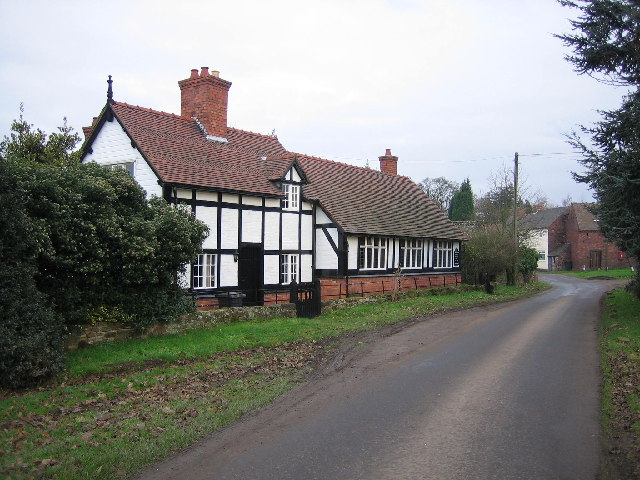
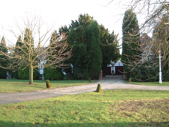
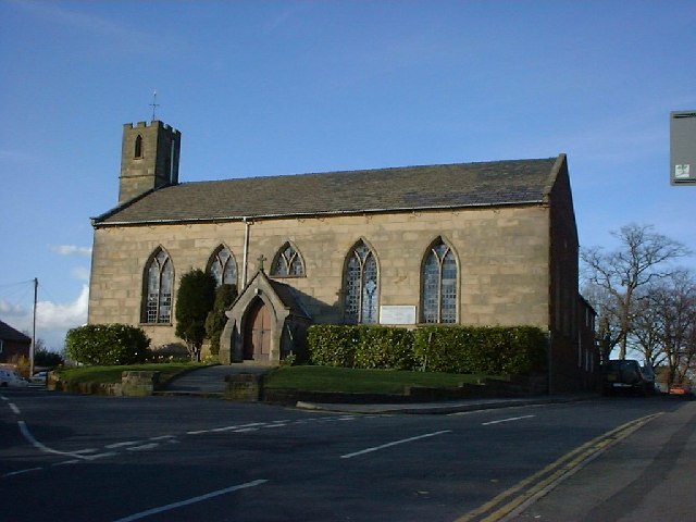
Quarry Hill Images

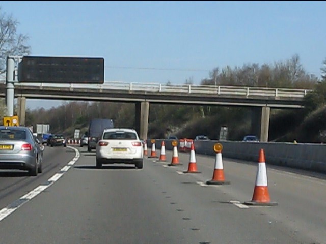
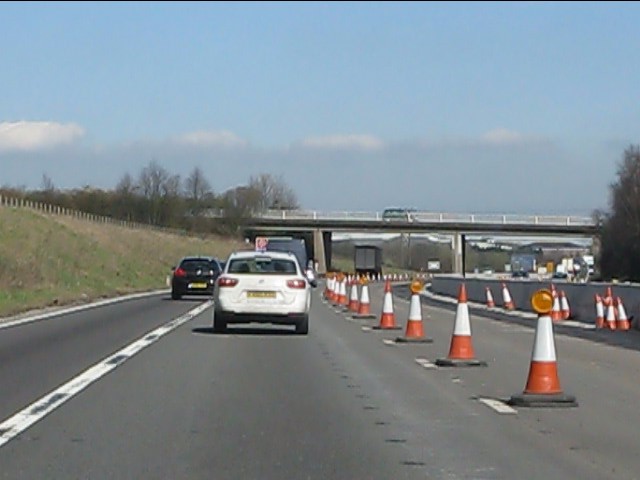
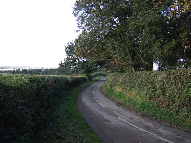
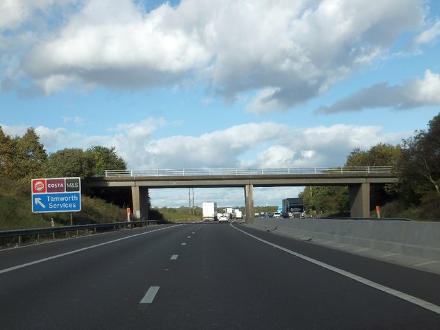
Images are sourced within 2km of 52.60705/-1.6567641 or Grid Reference SK2301. Thanks to Geograph Open Source API. All images are credited.

M42 Motorway - minor road overbridge near Whateley
M42 Motorway - minor road overbridge near Freasley
The northbound M42
The northbound M42
Field entrance off Whateley Lane
Whateley Lane Heading east.
Whateley Lane
Heading east.
Farmland, Whateley
Farmland, Whateley
Whateley Lane Heading north towards Hockley.
Whateley Lane
Heading north towards Hockley.
Whateley Lane bridge over M42
Overwoods Road bridge over M42
Barn, Whateley Hall Farm This wonderful old barn has large stones at the base. These were most likely quarried from the hill locally.
Barn, Whateley Hall Farm
This wonderful old barn has large stones at the base. These were most likely quarried from the hill locally.
Planters Garden Centre This large garden centre brings jobs and life to this rural location.
Planters Garden Centre
This large garden centre brings jobs and life to this rural location.
St. Mary's Church, Freasley Until I drove down this lane I did not know that there was a church here. The lane only leads to Freasley and so is very quiet.
St. Mary's Church, Freasley
Until I drove down this lane I did not know that there was a church here. The lane only leads to Freasley and so is very quiet.
House down Freasley Lane I think that many years ago peacocks used to roost in these trees.
House down Freasley Lane
I think that many years ago peacocks used to roost in these trees.
Postbox in barn This must be one of the more unusual places for a post box to be.
Postbox in barn
This must be one of the more unusual places for a post box to be.
Cottage, Freasley A lovely cottage in Freasley. As it happens, I know this cottage well as one of my aunts used to live here.
Cottage, Freasley
A lovely cottage in Freasley. As it happens, I know this cottage well as one of my aunts used to live here.
The Green, Freasley More attractive properties hidden behind high hedges and trees. Freasley is a very quiet backwater.
The Green, Freasley
More attractive properties hidden behind high hedges and trees. Freasley is a very quiet backwater.
Planters garden centre Freasley Adjacent M42 motorway.
Planters garden centre Freasley
Adjacent M42 motorway.
Whateley Lane Shafts of sunlight streak through the morning mist along Whateley Lane. This lane links Hockley with the hamlet of Whateley, at first it is named Hockley Road, but after a couple of hundred yards (and a bend) it changes its name. This lane has quite steep sloping banks and there used to be a number of large trees with huge root systems that leaned worryingly across the lane in a rather magical way. Unfortunately (but not surprisingly) these trees have been chopped down - but their fantastical roots still remain in places - see <a href="https://www.geograph.org.uk/photo/1073649">SP2299 : How are the mighty fallen !</a> & <a href="https://www.geograph.org.uk/photo/1073650">SP2299 : Convoluted roots</a>
Whateley Lane
Shafts of sunlight streak through the morning mist along Whateley Lane. This lane links Hockley with the hamlet of Whateley, at first it is named Hockley Road, but after a couple of hundred yards (and a bend) it changes its name. This lane has quite steep sloping banks and there used to be a number of large trees with huge root systems that leaned worryingly across the lane in a rather magical way. Unfortunately (but not surprisingly) these trees have been chopped down - but their fantastical roots still remain in places - see SP2299 : How are the mighty fallen ! & SP2299 : Convoluted roots
Show me another place!

Quarry Hill is located at Grid Ref: SK2301 (Lat: 52.60705, Lng: -1.6567641)

Administrative County: Staffordshire

District: Tamworth

Police Authority: Staffordshire

What 3 Words

///defend.shadow.salt. Near Fazeley, Staffordshire

Nearby Locations

Stonydelph Quarry Hill

Related Wikis

The Wilnecote School

The Wilnecote School (formerly Wilnecote High School) is a co-educational secondary school located in Wilnecote (near Tamworth) in the English county of...

Wilnecote

Wilnecote (pronounced Wilncutt) is a suburban area about two miles (3.2 km) south-east of Tamworth, in the Tamworth district, in the county of Staffordshire...

Tamworth services

Tamworth services is a motorway service station on the M42 motorway near Tamworth Staffordshire, England. The border between Staffordshire and Warwickshire...

Stonydelph

Stonydelph is a neighbourhood about 2 miles (3 km) south east of the centre of Tamworth, Staffordshire. A spelling of "Stoneydelph" is sometimes used but...

Nearby Amenities

Located within 500m of 52.60705,-1.6567641
Crossing
Crossing: traffic_signals
Source: Warwicks CC Aerial Imagery 2013
Lat/Long: 52.6058383/-1.6529173
Speed Camera
Lat/Long: 52.6072999/-1.6600181
Turning Circle
Source: Warwicks CC Aerial Imagery 2013
Lat/Long: 52.6072007/-1.6503201
Bus Stop
Tutehill
Bus: yes
Naptan AtcoCode: 3800C902200
Naptan Bearing: N
Naptan CommonName: Tutehill
Naptan Indicator: Adj
Naptan Landmark: Tutehill
Naptan PlusbusZoneRef: TAMWORTH
Naptan Street: Pennymoor Rd
Naptan Verified: no
Public Transport: platform
Source: naptan_import
Lat/Long: 52.6076601/-1.6502465
Bus Stop
Centurion Park
Bus: yes
Naptan AtcoCode: 3800C903401
Naptan Bearing: SE
Naptan BusStopType: CUS
Naptan CommonName: Centurion Park
Naptan Indicator: Adj
Naptan Landmark: Centurion Park
Naptan PlusbusZoneRef: TAMWORTH
Naptan Street: Watling St
Naptan Verified: no
Public Transport: platform
Source: naptan_import
Lat/Long: 52.6053541/-1.6502102
Bus Stop
Hastings Close
Bus: yes
Naptan AtcoCode: 3800C906101
Naptan Bearing: NW
Naptan CommonName: Hastings Close
Naptan Indicator: Adj
Naptan Landmark: Hastings Close
Naptan PlusbusZoneRef: TAMWORTH
Naptan Street: Tinkers Green Rd
Naptan Verified: no
Public Transport: platform
Source: naptan_import
Lat/Long: 52.6052547/-1.6624377
Bus Stop
Hastings Close
Bus: yes
Naptan AtcoCode: 3800C906102
Naptan Bearing: SE
Naptan CommonName: Hastings Close
Naptan Indicator: Opp
Naptan PlusbusZoneRef: TAMWORTH
Naptan Street: Tinkers Green Road
Naptan Verified: no
Public Transport: platform
Source: naptan_import
Lat/Long: 52.6052352/-1.6619062
Bus Stop
Scammerton
Bus: yes
Naptan AtcoCode: 3800C911701
Naptan Bearing: N
Naptan CommonName: Scammerton
Naptan Indicator: Adj
Naptan Landmark: Scammerton
Naptan PlusbusZoneRef: TAMWORTH
Naptan Street: Pennymoor Way
Naptan Verified: no
Public Transport: platform
Source: naptan_import
Lat/Long: 52.6101534/-1.6527859
Bus Stop
Watling Street
Bus: yes
Naptan AtcoCode: 3800C911901
Naptan Bearing: E
Naptan CommonName: Watling Street
Naptan Indicator: opp 88
Naptan Landmark: Watling Street
Naptan PlusbusZoneRef: TAMWORTH
Naptan Street: Watling Street
Naptan Verified: no
Public Transport: platform
Source: naptan_import
Lat/Long: 52.6063116/-1.6548246
Bus Stop
Watling Street
Bus: yes
Naptan AtcoCode: 3800C911902
Naptan Bearing: W
Naptan CommonName: Watling Street
Naptan Indicator: o/s 88
Naptan Landmark: Watling Street
Naptan PlusbusZoneRef: TAMWORTH
Naptan Street: Watling St
Naptan Verified: no
Public Transport: platform
Source: naptan_import
Lat/Long: 52.6062581/-1.6549874
Bus Stop
Red Lion PH
Bus: yes
Naptan AtcoCode: 3800C912001
Naptan Bearing: W
Naptan CommonName: Red Lion PH
Naptan Indicator: Opp
Naptan Landmark: Red Lion PH
Naptan PlusbusZoneRef: TAMWORTH
Naptan Street: Watling St
Naptan Verified: no
Public Transport: platform
Source: naptan_import
Lat/Long: 52.6078193/-1.6632745
Bus Stop
Red Lion PH
Bus: yes
Naptan AtcoCode: 3800C912002
Naptan Bearing: E
Naptan CommonName: Red Lion PH
Naptan Indicator: Adj
Naptan Landmark: Watling St Red Lion PH
Naptan PlusbusZoneRef: TAMWORTH
Naptan Street: A5
Naptan Verified: no
Public Transport: platform
Source: naptan_import
Lat/Long: 52.6078996/-1.6630523
Bus Stop
Merganser
Bus: yes
Naptan AtcoCode: 3800C912701
Naptan Bearing: NE
Naptan CommonName: Merganser
Naptan Indicator: Adj
Naptan PlusbusZoneRef: TAMWORTH
Naptan Street: Tinkers Green Road
Naptan Verified: no
Public Transport: platform
Source: naptan_import
Lat/Long: 52.6037409/-1.6611942
Power: tower
Source: Bing
Lat/Long: 52.609524/-1.6567793
Power: tower
Lat/Long: 52.6070035/-1.6537301
Power: tower
Lat/Long: 52.6084077/-1.6556795
Power: tower
Lat/Long: 52.6051778/-1.6534803
Barrier: bollard
Motor Vehicle: no
Lat/Long: 52.6045567/-1.6553199
Crossing
Crossing: traffic_signals
Crossing Ref: pelican
Kerb: lowered
Tactile Paving: yes
Lat/Long: 52.6077251/-1.6623235
Power: tower
Lat/Long: 52.6081582/-1.6564492
Fast Food
Wilnecote Fish Bar
Addr Housename: 1
Addr Postcode: B77 5BS
Addr Street: Shelton Street
Cuisine: fish_and_chips
Lat/Long: 52.6075695/-1.6624296
Access: private
Barrier: lift_gate
Lat/Long: 52.6038304/-1.6532657
Access: destination
Barrier: lift_gate
Lat/Long: 52.6036217/-1.6534204
Access: destination
Barrier: lift_gate
Lat/Long: 52.6046549/-1.6512435
Description: Wilnecote Entrance to Kettlebrook Nature Reserve
Entrance: yes
Lat/Long: 52.6048184/-1.6590084
footpath
Lat/Long: 52.6044687/-1.6580471
Tourism: artwork
Lat/Long: 52.6050163/-1.6570167
Tourism: artwork
Lat/Long: 52.6060327/-1.6593985
Old Phone: +44 1827 262157
Removed Amenity: telephone
Lat/Long: 52.6077665/-1.6630326
Post Box
Operator: Royal Mail
Ref: B77 182
Lat/Long: 52.6057353/-1.6534987
The Mushroom
Description: Local Landmark. Balancing lake control for Kettle Brook. Known locally as 'The Mushroom'
Lat/Long: 52.6030307/-1.6546145
Generator Method: photovoltaic
Generator Output Electricity: yes
Generator Source: solar
Generator Type: solar_photovoltaic_panel
Location: roof
Power: generator
Lat/Long: 52.6083545/-1.6527557
Generator Method: photovoltaic
Generator Output Electricity: yes
Generator Source: solar
Generator Type: solar_photovoltaic_panel
Location: roof
Power: generator
Lat/Long: 52.6082225/-1.6525385
Generator Method: photovoltaic
Generator Output Electricity: yes
Generator Source: solar
Generator Type: solar_photovoltaic_panel
Location: roof
Power: generator
Lat/Long: 52.6076834/-1.6515407
Generator Method: photovoltaic
Generator Output Electricity: yes
Generator Source: solar
Generator Type: solar_photovoltaic_panel
Location: roof
Power: generator
Lat/Long: 52.6076248/-1.6514468
Generator Method: photovoltaic
Generator Output Electricity: yes
Generator Source: solar
Generator Type: solar_photovoltaic_panel
Location: roof
Power: generator
Lat/Long: 52.6053786/-1.6568059
Generator Method: photovoltaic
Generator Output Electricity: yes
Generator Source: solar
Generator Type: solar_photovoltaic_panel
Location: roof
Power: generator
Lat/Long: 52.6058053/-1.6573021
Generator Method: photovoltaic
Generator Output Electricity: yes
Generator Source: solar
Generator Type: solar_photovoltaic_panel
Location: roof
Power: generator
Lat/Long: 52.6057109/-1.6573021
Generator Method: photovoltaic
Generator Output Electricity: yes
Generator Source: solar
Generator Type: solar_photovoltaic_panel
Location: roof
Power: generator
Lat/Long: 52.6057402/-1.6567683
Generator Method: photovoltaic
Generator Output Electricity: yes
Generator Source: solar
Generator Type: solar_photovoltaic_panel
Location: roof
Power: generator
Lat/Long: 52.6055301/-1.6566476
Generator Method: photovoltaic
Generator Output Electricity: yes
Generator Source: solar
Generator Type: solar_photovoltaic_panel
Location: roof
Power: generator
Lat/Long: 52.6082763/-1.6591421
Generator Method: photovoltaic
Generator Output Electricity: yes
Generator Source: solar
Generator Type: solar_photovoltaic_panel
Location: roof
Power: generator
Lat/Long: 52.6082372/-1.6589999
Generator Method: photovoltaic
Generator Output Electricity: yes
Generator Source: solar
Generator Type: solar_photovoltaic_panel
Location: roof
Power: generator
Lat/Long: 52.6083333/-1.6595766
Generator Method: photovoltaic
Generator Output Electricity: yes
Generator Source: solar
Generator Type: solar_photovoltaic_panel
Location: roof
Power: generator
Lat/Long: 52.6087258/-1.659818
Generator Method: photovoltaic
Generator Output Electricity: yes
Generator Source: solar
Generator Type: solar_photovoltaic_panel
Location: roof
Power: generator
Lat/Long: 52.6089066/-1.6569132
Generator Method: photovoltaic
Generator Output Electricity: yes
Generator Source: solar
Generator Type: solar_photovoltaic_panel
Location: roof
Power: generator
Lat/Long: 52.6082421/-1.6549256
Generator Method: photovoltaic
Generator Output Electricity: yes
Generator Source: solar
Generator Type: solar_photovoltaic_panel
Location: roof
Power: generator
Lat/Long: 52.6060806/-1.6612476
Generator Method: photovoltaic
Generator Output Electricity: yes
Generator Source: solar
Generator Type: solar_photovoltaic_panel
Location: roof
Power: generator
Lat/Long: 52.6056441/-1.6604483
Generator Method: photovoltaic
Generator Output Electricity: yes
Generator Source: solar
Generator Type: solar_photovoltaic_panel
Location: roof
Power: generator
Lat/Long: 52.6029579/-1.6596249
Generator Method: photovoltaic
Generator Output Electricity: yes
Generator Source: solar
Generator Type: solar_photovoltaic_panel
Location: roof
Power: generator
Lat/Long: 52.60359/-1.659877
Generator Method: photovoltaic
Generator Output Electricity: yes
Generator Source: solar
Generator Type: solar_photovoltaic_panel
Location: roof
Power: generator
Lat/Long: 52.6033228/-1.6601506
Generator Method: photovoltaic
Generator Output Electricity: yes
Generator Source: solar
Generator Type: solar_photovoltaic_panel
Location: roof
Power: generator
Lat/Long: 52.6081281/-1.6552448
Generator Method: photovoltaic
Generator Output Electricity: yes
Generator Source: solar
Generator Type: solar_photovoltaic_panel
Location: roof
Power: generator
Lat/Long: 52.6071768/-1.6555131
Generator Method: photovoltaic
Generator Output Electricity: yes
Generator Source: solar
Generator Type: solar_photovoltaic_panel
Location: roof
Power: generator
Lat/Long: 52.6065628/-1.6528094
Generator Method: photovoltaic
Generator Output Electricity: yes
Generator Source: solar
Generator Type: solar_photovoltaic_panel
Location: roof
Power: generator
Lat/Long: 52.6066279/-1.6529059
Generator Method: photovoltaic
Generator Output Electricity: yes
Generator Source: solar
Generator Type: solar_photovoltaic_panel
Location: roof
Power: generator
Lat/Long: 52.6066914/-1.6530561
Generator Method: photovoltaic
Generator Output Electricity: yes
Generator Source: solar
Generator Type: solar_photovoltaic_panel
Location: roof
Power: generator
Lat/Long: 52.6071084/-1.6531554
Generator Method: photovoltaic
Generator Output Electricity: yes
Generator Source: solar
Generator Type: solar_photovoltaic_panel
Location: roof
Power: generator
Lat/Long: 52.6105012/-1.6542122
Generator Method: photovoltaic
Generator Output Electricity: yes
Generator Source: solar
Generator Type: solar_photovoltaic_panel
Location: roof
Power: generator
Lat/Long: 52.6105044/-1.6527155
Generator Method: photovoltaic
Generator Output Electricity: yes
Generator Source: solar
Generator Type: solar_photovoltaic_panel
Location: roof
Power: generator
Lat/Long: 52.6105142/-1.6534209
Generator Method: photovoltaic
Generator Output Electricity: yes
Generator Source: solar
Generator Type: solar_photovoltaic_panel
Location: roof
Power: generator
Lat/Long: 52.6098692/-1.6551456
Generator Method: photovoltaic
Generator Output Electricity: yes
Generator Source: solar
Generator Type: solar_photovoltaic_panel
Location: roof
Power: generator
Lat/Long: 52.6093904/-1.6545716
Generator Method: photovoltaic
Generator Output Electricity: yes
Generator Source: solar
Generator Type: solar_photovoltaic_panel
Location: roof
Power: generator
Lat/Long: 52.6089913/-1.6539386
Generator Method: photovoltaic
Generator Output Electricity: yes
Generator Source: solar
Generator Type: solar_photovoltaic_panel
Location: roof
Power: generator
Lat/Long: 52.6093024/-1.6518036
Generator Method: photovoltaic
Generator Output Electricity: yes
Generator Source: solar
Generator Type: solar_photovoltaic_panel
Location: roof
Power: generator
Lat/Long: 52.6093203/-1.6510177
Generator Method: photovoltaic
Generator Output Electricity: yes
Generator Source: solar
Generator Type: solar_photovoltaic_panel
Location: roof
Power: generator
Lat/Long: 52.6100842/-1.6515729
Barrier: kissing_gate
Foot: yes
Lat/Long: 52.6071081/-1.6602173
Generator Method: photovoltaic
Generator Output Electricity: yes
Generator Source: solar
Generator Type: solar_photovoltaic_panel
Location: roof
Power: generator
Lat/Long: 52.6071948/-1.6555801
Generator Method: photovoltaic
Generator Output Electricity: yes
Generator Source: solar
Generator Type: solar_photovoltaic_panel
Location: roof
Power: generator
Lat/Long: 52.605675/-1.6573745
Generator Method: photovoltaic
Generator Output Electricity: yes
Generator Source: solar
Generator Type: solar_photovoltaic_panel
Location: roof
Power: generator
Lat/Long: 52.6045038/-1.6618484
Generator Method: photovoltaic
Generator Output Electricity: yes
Generator Source: solar
Generator Type: solar_photovoltaic_panel
Location: roof
Power: generator
Lat/Long: 52.6029482/-1.6583428
Generator Method: photovoltaic
Generator Output Electricity: yes
Generator Source: solar
Generator Type: solar_photovoltaic_panel
Location: roof
Power: generator
Lat/Long: 52.6029889/-1.6583079
The data included in this document is from www.openstreetmap.org. The data is made available under ODbL.

Have you been to Quarry Hill?

Leave your review of Quarry Hill below (or comments, questions and feedback).