Stoneybridge

Settlement in Worcestershire Bromsgrove

England

Stoneybridge

The M5 skirts a hillock Seen from the lane that leads to Chadwich Grange.
The M5 skirts a hillock Credit: Adrian Bailey

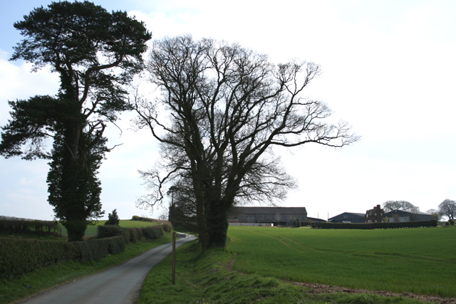
Stoneybridge is a small village located in the county of Worcestershire, England. Situated approximately 10 miles southeast of the city of Worcester, it is nestled in a picturesque rural setting surrounded by rolling hills and farmland. The village is part of the Wychavon district and has a population of around 500 residents.

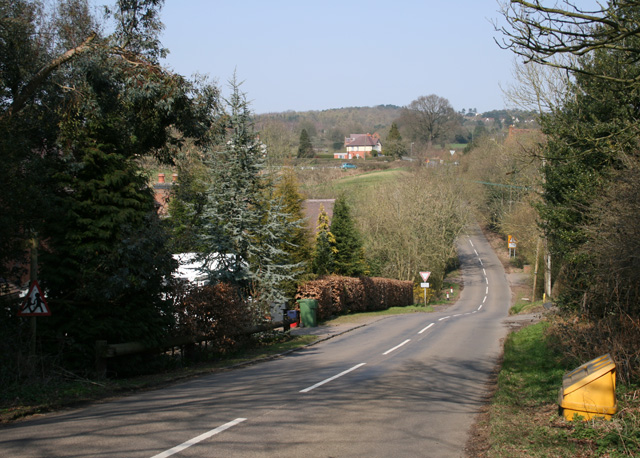
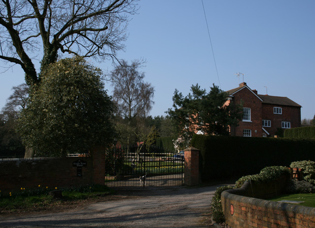
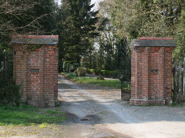
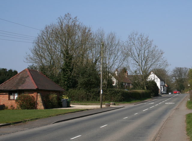
Stoneybridge is known for its charming and idyllic countryside atmosphere. The village is characterized by a collection of quaint cottages and traditional buildings, many of which date back to the 18th and 19th centuries. The local architecture reflects the rich history and heritage of the area.

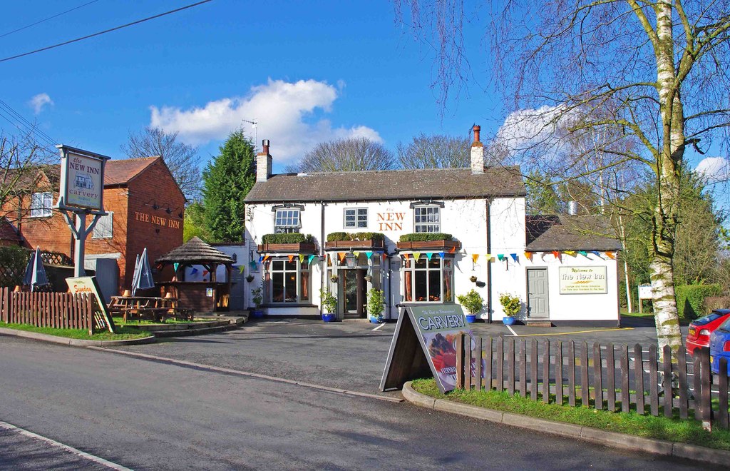
The village is home to a close-knit community, and residents can enjoy a range of amenities including a local pub, a village hall, and a small convenience store. The village also benefits from a primary school, providing education for children in the area.

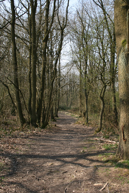
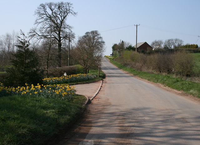
Nature enthusiasts will find plenty to explore in and around Stoneybridge. The village is surrounded by beautiful countryside, offering scenic walking trails and opportunities for outdoor activities. The nearby River Avon is a popular spot for fishing and boating.

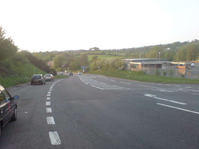
Despite its rural location, Stoneybridge enjoys good transport links. The A44 road runs through the village, connecting it to Worcester and other nearby towns. Public transportation is also available, with regular bus services connecting Stoneybridge to surrounding areas.

Overall, Stoneybridge offers a peaceful and picturesque place to live, with a strong sense of community and access to the natural beauty of the Worcestershire countryside.

If you have any feedback on the listing, please let us know in the comments section below.
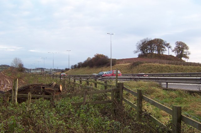
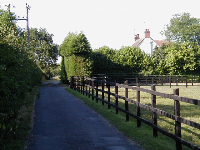
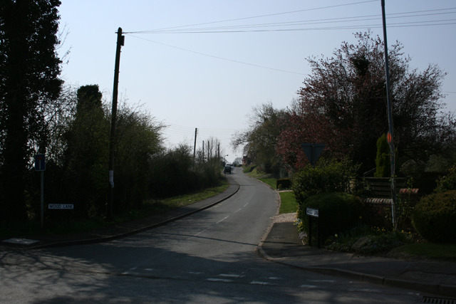
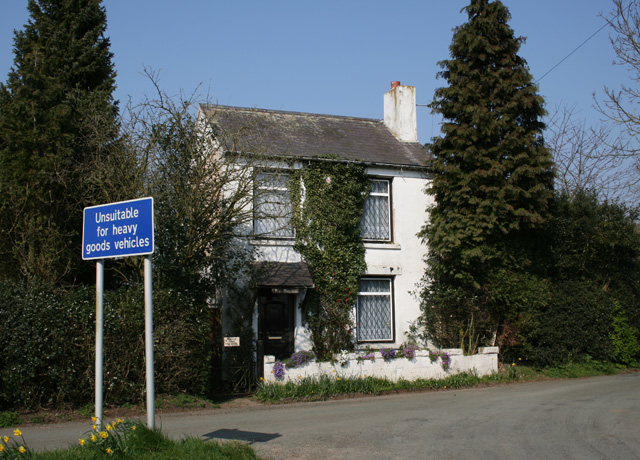
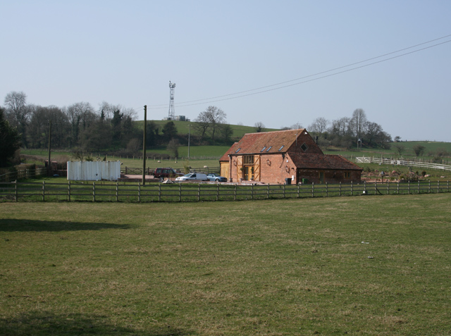
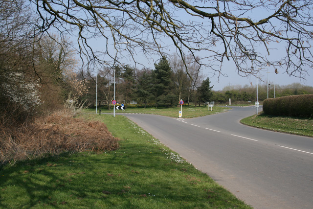
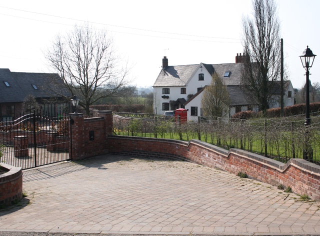
Stoneybridge Images

Images are sourced within 2km of 52.383779/-2.0777355 or Grid Reference SO9476. Thanks to Geograph Open Source API. All images are credited.

The M5 skirts a hillock Seen from the lane that leads to Chadwich Grange.
The M5 skirts a hillock
Seen from the lane that leads to Chadwich Grange.
Driveway also used as part of a public footpath route. View towards Snuff Hill.
Driveway
also used as part of a public footpath route. View towards Snuff Hill.
Life in the slow lane Monday morning rush hour on the M5 just past junction 4 heading north
Life in the slow lane
Monday morning rush hour on the M5 just past junction 4 heading north
Swan Inn at Fairfield Road is the B4091 through Fairfield
Swan Inn at Fairfield
Road is the B4091 through Fairfield
Wood Lane Fairfield Leads via a track to Pepper Wood from the B4091
Wood Lane Fairfield
Leads via a track to Pepper Wood from the B4091
North Pepper Wood Just past the last house on the track to the east of Fairfield village
North Pepper Wood
Just past the last house on the track to the east of Fairfield village
Ivy Cottage, Fairfield In Swan Lane, about 1km from the Swan public house in Fairfield
Ivy Cottage, Fairfield
In Swan Lane, about 1km from the Swan public house in Fairfield
The Old Victorian Farm House Complete with telephone communications mast on the hill in the village of Fairfield.
The Old Victorian Farm House
Complete with telephone communications mast on the hill in the village of Fairfield.
Roundabout near Fairfield Court Junction of the A491 and the B4091 looking east of north
Roundabout near Fairfield Court
Junction of the A491 and the B4091 looking east of north
The Stables Near Madeley Heath, part of Lower Madely Farm. Sports a red K6 telephone box!
The Stables
Near Madeley Heath, part of Lower Madely Farm. Sports a red K6 telephone box!
Madeley Heath Steep down and up through Madeley Heath towards a fiveways at Bell Heath
Madeley Heath
Steep down and up through Madeley Heath towards a fiveways at Bell Heath
Woodfield Lane Road from Sling Common towards Bell Heath
Woodfield Lane
Road from Sling Common towards Bell Heath
Gorse Farm House Just off Gorse Green Lane, before it joins the A491
Gorse Farm House
Just off Gorse Green Lane, before it joins the A491
Gates to Fairfield Court Situated on the B4091 close to the junction with the A491
Gates to Fairfield Court
Situated on the B4091 close to the junction with the A491
Gates in Gorse Green Lane Opposite Gorse Farm House
Gates in Gorse Green Lane
Opposite Gorse Farm House
Harbours Hill Fine show of spring flowers. Madeley Heath is just over the hill.
Harbours Hill
Fine show of spring flowers. Madeley Heath is just over the hill.
Hagley Hill Farm On Mearse Lane, near Hartle. Public Footpath across field in foreground.
Hagley Hill Farm
On Mearse Lane, near Hartle. Public Footpath across field in foreground.
Sandy Lane (A491) looking NW
Show me another place!

Stoneybridge is located at Grid Ref: SO9476 (Lat: 52.383779, Lng: -2.0777355)

Administrative County: Worcestershire

District: Bromsgrove

Police Authority: West Merica

What 3 Words

///pounds.intro.brave. Near Belbroughton, Worcestershire

Nearby Locations

Stoneybridge

Related Wikis

Castlebourne folly

The Castlebourne folly in the parish of Belbroughton, Worcestershire, England, was built as a sham castle towards the end of the eighteenth century and...

Fairfield, Worcestershire

Fairfield is a village in the district of Bromsgrove, Worcestershire, England. It is in the civil parish of Belbroughton. The village of Fairfield and...

Bell End

Bell End is a village in the English county of Worcestershire. It is situated approximately 2 miles (3 km) south-east of Hagley on the A491, north of Bromsgrove...

Bournheath

Bournheath is a village and civil parish in the Bromsgrove District of Worcestershire, England, about three miles north of Bromsgrove. According to the...

Nearby Amenities

Located within 500m of 52.383779,-2.0777355
Bus Stop
Stourbridge Road
Bench: no
Bus: yes
Naptan AtcoCode: 2000G503132
Naptan Bearing: NW
Naptan CommonName: Stourbridge Road
Naptan Indicator: from Sandy Lane
Naptan Landmark: roundabout
Naptan NaptanCode: wocdatjg
Naptan Street: Stourbridge Road
Naptan Verified: no
Public Transport: platform
Shelter: yes
Source: naptan_import
Lat/Long: 52.3838407/-2.0795103
Bus Stop
Stourbridge Road
Bench: no
Bin: no
Bus: yes
Naptan AtcoCode: 2000G503133
Naptan Bearing: SE
Naptan CommonName: Stourbridge Road
Naptan Indicator: towards Sandy Lane
Naptan Landmark: roundabout
Naptan NaptanCode: wocdatjm
Naptan Street: Stourbridge Road
Naptan Verified: no
Public Transport: platform
Shelter: yes
Source: naptan_import
Tactile Paving: no
Lat/Long: 52.3842535/-2.0796194
Power: tower
Source: Bing
Lat/Long: 52.383912/-2.0827868
Power: tower
Source: bing
Lat/Long: 52.3871751/-2.0748061
Power: tower
Source: Bing
Lat/Long: 52.3854344/-2.0790755
Man Made: pipeline_marker
Source: survey
Substance: gas
Lat/Long: 52.3844921/-2.0804593
The data included in this document is from www.openstreetmap.org. The data is made available under ODbL.

Have you been to Stoneybridge?

Leave your review of Stoneybridge below (or comments, questions and feedback).