Stonelaw Grange

Settlement in Northumberland

England

Stonelaw Grange

Houses on Newlyn Drive, Cramlington
Houses on Newlyn Drive, Cramlington Credit: Roger Cornfoot

Stonelaw Grange is a picturesque rural estate situated in the heart of Northumberland, a county in the northeast of England. Located just a few miles from the charming market town of Hexham, this historic property offers a serene and idyllic setting surrounded by rolling hills, lush green fields, and sprawling woodlands.

The centerpiece of Stonelaw Grange is a magnificent Georgian manor house, which dates back to the 18th century. The house boasts an elegant façade, adorned with classic architectural elements such as grand columns and a sweeping driveway. Inside, the property features spacious rooms with high ceilings, intricate plasterwork, and large sash windows that flood the spaces with natural light.

The estate encompasses extensive grounds that span over 100 acres, providing ample space for outdoor activities and exploration. A beautifully landscaped garden with manicured lawns, vibrant flower beds, and ancient trees create a tranquil oasis for relaxation and leisurely walks. Additionally, the estate includes a private lake, offering opportunities for boating and fishing.

Stonelaw Grange is not only a stunning private residence but also an ideal venue for hosting weddings, corporate events, and other special occasions. With its enchanting surroundings and luxurious facilities, it provides a unique and memorable experience for guests.

Overall, Stonelaw Grange is a magnificent estate that seamlessly combines history, natural beauty, and modern amenities. Its location in the scenic Northumberland countryside makes it a sought-after destination for those seeking tranquility and a touch of elegance.

If you have any feedback on the listing, please let us know in the comments section below.

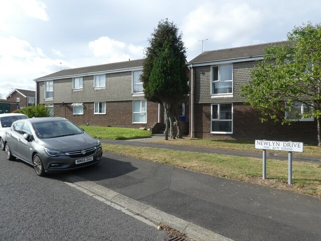
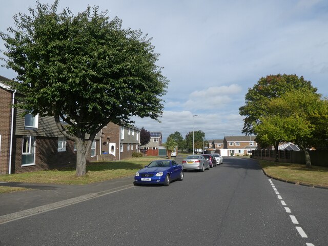
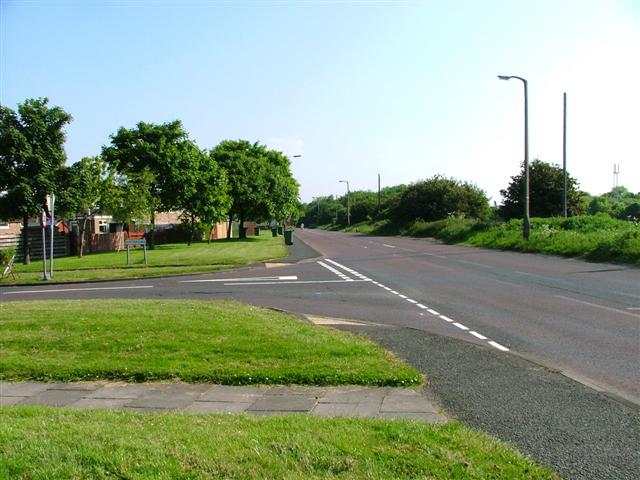
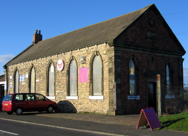
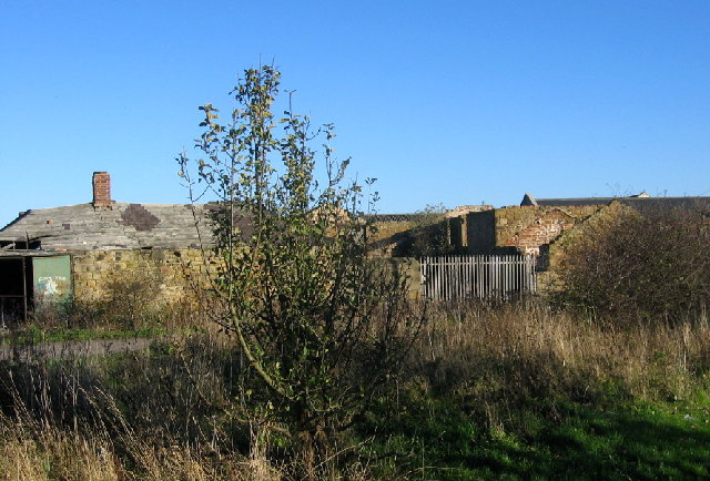
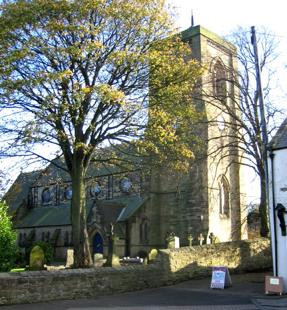
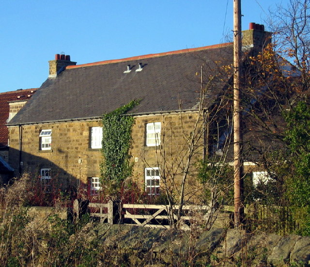
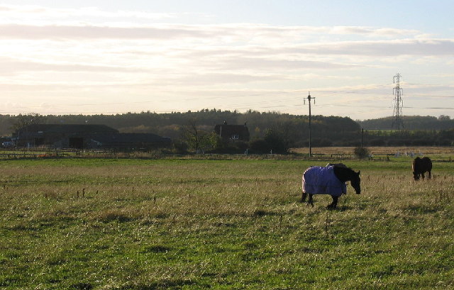
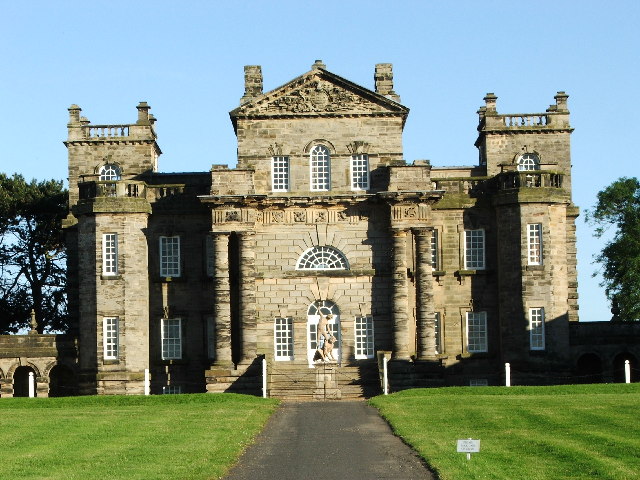
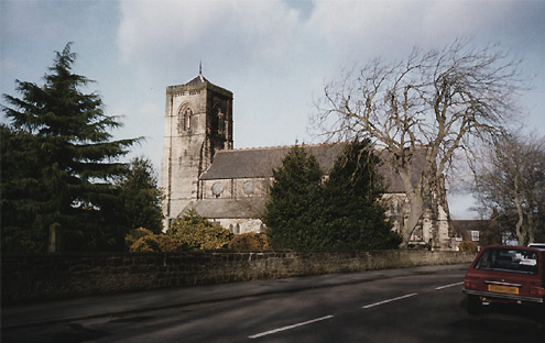
Stonelaw Grange Images

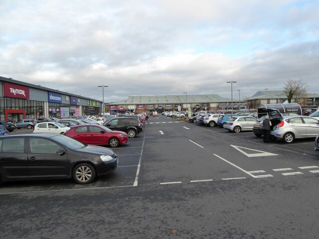
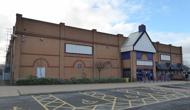
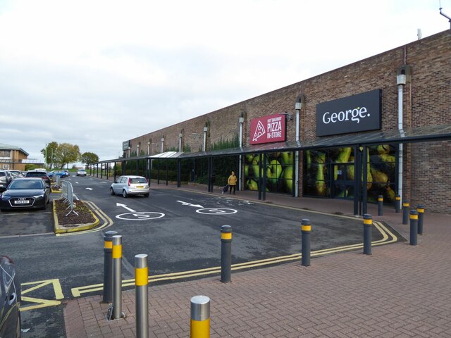
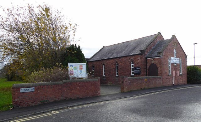
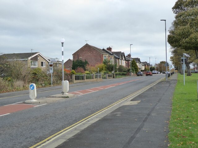
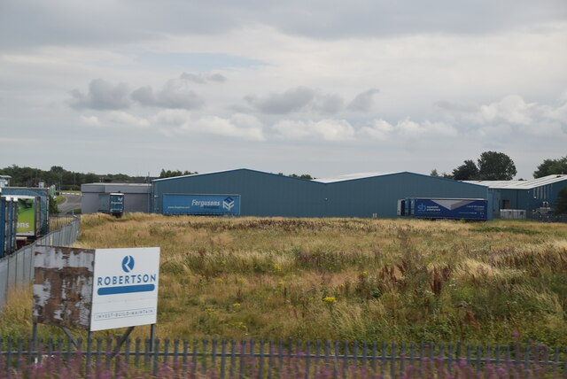
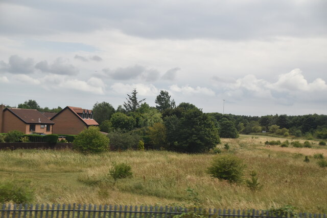
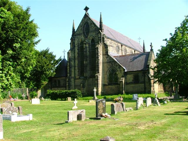
Images are sourced within 2km of 55.078151/-1.5902959 or Grid Reference NZ2676. Thanks to Geograph Open Source API. All images are credited.

Houses on Newlyn Drive, Cramlington
Newlyn Drive, Cramlington
Main entrance, Sterling Pharma Solutions
Western edge of Cramlington's shopping centre With M&S Foodhall, T.k.maxx and Shoezone prominent.
Western edge of Cramlington's shopping centre
With M&S Foodhall, T.k.maxx and Shoezone prominent.
Parking at Cramlington's shopping centre A wide range of shops form the perimeter.
Parking at Cramlington's shopping centre
A wide range of shops form the perimeter.
Closed Buzz Bingo Cramlington 'Everyone has been impacted by coronavirus including us here at Buzz Bingo, which means we have had to make some difficult decisions. It’s with a heavy heart we announce the proposed closure of Buzz Bingo Cramlington.' 
<span class="nowrap"><a title="https://www.buzzbingo.com/club/cramlington.html" rel="nofollow ugc noopener" href="https://www.buzzbingo.com/club/cramlington.html">Link</a><img style="margin-left:2px;" alt="External link" title="External link - shift click to open in new window" src="https://s1.geograph.org.uk/img/external.png" width="10" height="10"/></span>
Closed Buzz Bingo Cramlington
'Everyone has been impacted by coronavirus including us here at Buzz Bingo, which means we have had to make some difficult decisions. It’s with a heavy heart we announce the proposed closure of Buzz Bingo Cramlington.' LinkExternal link
George. and Hot Takeaway Pizza In-Store On Cramlington's Shopping Centre.
George. and Hot Takeaway Pizza In-Store
On Cramlington's Shopping Centre.
Welcome Methodist Church Cramlington 'Welcome to Welcome Methodist Church! Don't forget to like or follow us so you can find out about our work in Cramlington, join us for services or one of our community groups. Thanks for visiting our church page and we hope to see you soon!'  <span class="nowrap"><a title="https://www.facebook.com/Welcomemethodistchurchcramlington/" rel="nofollow ugc noopener" href="https://www.facebook.com/Welcomemethodistchurchcramlington/">Link</a><img style="margin-left:2px;" alt="External link" title="External link - shift click to open in new window" src="https://s1.geograph.org.uk/img/external.png" width="10" height="10"/></span>
Welcome Methodist Church Cramlington
'Welcome to Welcome Methodist Church! Don't forget to like or follow us so you can find out about our work in Cramlington, join us for services or one of our community groups. Thanks for visiting our church page and we hope to see you soon!' LinkExternal link
Station Road, Cramlington From the Sunnyside junction.
Station Road, Cramlington
From the Sunnyside junction.
Northumberland Business Park
Edge of Cramlington
Edge of Cramlington
St. John the Baptist, Annitsford
Junction of Westerkirk and the B1505, Cramlington
United Methodist Free Church, East Cramlington Built in 1872 it is no longer in use as a church; but at least it has survived, unlike the pit which was on its door step.
United Methodist Free Church, East Cramlington
Built in 1872 it is no longer in use as a church; but at least it has survived, unlike the pit which was on its door step.
Decaying buildings, East Cramlington Farm These old ruins are a bit of a puzzle. Are they farm buildings or part of the old colliery which stood near this site?
Decaying buildings, East Cramlington Farm
These old ruins are a bit of a puzzle. Are they farm buildings or part of the old colliery which stood near this site?
Parish Church of St. Nicholas, Cramlington Village When this church was built in the 1860's Cramlington was still a small mining village with a history going back before the Conquest. Now it is a suburb of the much larger 'New Town' developed in the 1960's.
Parish Church of St. Nicholas, Cramlington Village
When this church was built in the 1860's Cramlington was still a small mining village with a history going back before the Conquest. Now it is a suburb of the much larger 'New Town' developed in the 1960's.
Beacon Farm, Cramlington On Beaconhill just on the edge of the 'New Town'
Beacon Farm, Cramlington
On Beaconhill just on the edge of the 'New Town'
Field, horses and White Hall Farm Taken from Beaconhill
Field, horses and White Hall Farm
Taken from Beaconhill
Show me another place!

Stonelaw Grange is located at Grid Ref: NZ2676 (Lat: 55.078151, Lng: -1.5902959)

Unitary Authority: Northumberland

Police Authority: Northumbria

What 3 Words

///donor.admiral.loving. Near Cramlington, Northumberland

Related Wikis

Cramlington Learning Village

Cramlington Learning Village, formerly Cramlington Community High School, is a large high school with academy status in Cramlington, Northumberland, England...

Stonelaw Middle School

Stonelaw County Middle School was a middle school in Cramlington, Northumberland, England, normally referred to as Stonelaw. Operating under the three...

Seaton Valley

Seaton Valley is a civil parish at the south eastern corner of Northumberland, and northern North Tyneside, consisting of five villages lying between Cramlington...

Cramlington

Cramlington is a town and civil parish in Northumberland. It is 6 miles (9.7 kilometres) north of Newcastle upon Tyne. The name suggests a probable founding...

Nearby Amenities

Located within 500m of 55.078151,-1.5902959
Noexit: yes
Lat/Long: 55.0776307/-1.5960736
Noexit: yes
Lat/Long: 55.0750077/-1.5872464
Noexit: yes
Lat/Long: 55.074751/-1.5863889
Turning Circle
Lat/Long: 55.0749693/-1.5905016
Noexit: yes
Lat/Long: 55.0779928/-1.593399
Noexit: yes
Lat/Long: 55.0779541/-1.596164
Noexit: yes
Lat/Long: 55.0780206/-1.5953163
Noexit: yes
Lat/Long: 55.0787208/-1.5941967
Noexit: yes
Lat/Long: 55.0792652/-1.5953329
Noexit: yes
Lat/Long: 55.0804877/-1.5892004
Noexit: yes
Lat/Long: 55.0806479/-1.5905544
Give Way
Direction: forward
Lat/Long: 55.0783936/-1.5859307
Post Box
Brand: Royal Mail
Brand Wikidata: Q638098
Drive Through: no
Operator: Royal Mail
Operator Wikidata: Q638098
Post Box Type: lamp
Postal Code: NE23 6EA
Ref: NE23 692
Lat/Long: 55.0784415/-1.5857532
Bus Stop
Naptan AtcoCode: 3100Z265760
Naptan NaptanCode: nldgjwjg
Lat/Long: 55.0782117/-1.5856942
Noexit: yes
Lat/Long: 55.0797371/-1.5841996
Place Of Worship
Doxford Place Methodist Church
Denomination: methodist
Religion: christian
Lat/Long: 55.0803873/-1.5839405
Noexit: yes
Lat/Long: 55.0820288/-1.5911766
Noexit: yes
Lat/Long: 55.0820012/-1.5907017
Noexit: yes
Lat/Long: 55.0817481/-1.588466
Post Box
Postal Code: NE23 6BD
Ref: NE23 368
Lat/Long: 55.0790477/-1.5918048
Post Box
Postal Code: NE23 6AF
Ref: NE23 659
Lat/Long: 55.0823834/-1.5912508
Bus Stop
Bench: yes
Bin: yes
Bus: yes
Public Transport: platform
Shelter: yes
Lat/Long: 55.0765363/-1.5880883
Noexit: yes
Lat/Long: 55.0787127/-1.5863542
Noexit: yes
Lat/Long: 55.0788473/-1.5863377
Noexit: yes
Lat/Long: 55.0800166/-1.5851743
Noexit: yes
Lat/Long: 55.0804158/-1.5867076
Bus Stop
Bus: yes
Naptan AtcoCode: 3100Z266760
Naptan NaptanCode: nldapdjg
Public Transport: platform
Shelter: no
Lat/Long: 55.0783392/-1.5852404
Noexit: yes
Lat/Long: 55.0783138/-1.5887059
Noexit: yes
Lat/Long: 55.0797363/-1.5894293
Noexit: yes
Lat/Long: 55.0798311/-1.590463
Noexit: yes
Lat/Long: 55.0799576/-1.591673
West Cramlington Junction
Historic Railway: junction
Railway: site
Lat/Long: 55.076356/-1.5966004
Nisa Local Dewley
Addr City: Cramlington
Addr Country: GB
Addr County: Northumberland
Addr Housename: Dewley Shopping Centre
Addr Postcode: NE23 6DT
Addr Street: Dewley Court
Addr Unit: 49-51
Fhrs Id: 288662
Shop: convenience
Lat/Long: 55.0807064/-1.5838746
Cramlington South East Doorstep Walks
Hiking: yes
Information: map
Map Size: site
Map Type: street
Source: survey
Tourism: information
Lat/Long: 55.0769527/-1.5848026
Waste Basket
Source: survey
Waste: trash
Lat/Long: 55.0769212/-1.5847711
Street Lamp
Lat/Long: 55.074005/-1.5891487
Street Lamp
Lat/Long: 55.0743907/-1.5890178
Street Lamp
Lat/Long: 55.0785948/-1.5877009
Noexit: yes
Lat/Long: 55.0740355/-1.588494
Noexit: yes
Lat/Long: 55.0748824/-1.5882593
Noexit: yes
Lat/Long: 55.0743618/-1.5884458
Noexit: yes
Lat/Long: 55.0784659/-1.5825286
Noexit: yes
Lat/Long: 55.0785476/-1.585097
Noexit: yes
Lat/Long: 55.0811685/-1.5922231
Noexit: yes
Lat/Long: 55.0815115/-1.5953431
Noexit: yes
Lat/Long: 55.0778283/-1.5919407
Noexit: yes
Lat/Long: 55.0778705/-1.5923832
Noexit: yes
Lat/Long: 55.0785964/-1.5951647
Noexit: yes
Lat/Long: 55.078305/-1.5898191
Noexit: yes
Lat/Long: 55.0783039/-1.5905888
Noexit: yes
Lat/Long: 55.0805668/-1.5932023
Noexit: yes
Lat/Long: 55.080004/-1.5935884
Noexit: yes
Lat/Long: 55.076877/-1.5914116
Place Of Worship
Imagine 10
Lat/Long: 55.0769301/-1.5906716
Bus Stop
Bench: yes
Bin: yes
Bus: yes
Departures Board: timetable
Public Transport: platform
Shelter: yes
Lat/Long: 55.0767512/-1.5884341
Bus: yes
Bus Bay: left
Public Transport: stop_position
Lat/Long: 55.0766991/-1.5883785
Bus: yes
Bus Bay: left
Public Transport: stop_position
Lat/Long: 55.0764525/-1.588286
Crossing
Lat/Long: 55.0768337/-1.5912447
Crossing
Crossing: marked
Lat/Long: 55.0769984/-1.591206
Bus Stop
Bench: yes
Bin: yes
Bus: yes
Departures Board: timetable
Naptan AtcoCode: 3100Z264763
Naptan NaptanCode: nldawmag
Public Transport: platform
Shelter: yes
Lat/Long: 55.0808596/-1.5873646
Bus Stop
Bench: yes
Bin: yes
Bus: yes
Departures Board: timetable
Naptan AtcoCode: 3100Z264762
Naptan NaptanCode: nldamtgw
Public Transport: platform
Shelter: yes
Lat/Long: 55.0803126/-1.5877033
Noexit: yes
Lat/Long: 55.0798617/-1.5860406
Site of West Cramlington Colliery
End Date: 1938-08-30
Historic: mine
Resource: coal
Source: http://www.dmm.org.uk/colliery/w058.htm
Lat/Long: 55.0765706/-1.5852283
Noexit: yes
Lat/Long: 55.0807747/-1.5847376
Noexit: yes
Lat/Long: 55.0808308/-1.5854162
Noexit: yes
Lat/Long: 55.0815195/-1.585374
Generator Method: photovoltaic
Generator Output Electricity: yes
Generator Source: solar
Generator Type: solar_photovoltaic_panel
Power: generator
Lat/Long: 55.0805383/-1.5939899
Generator Method: photovoltaic
Generator Output Electricity: yes
Generator Source: solar
Generator Type: solar_photovoltaic_panel
Power: generator
Lat/Long: 55.0811501/-1.5944204
Generator Method: photovoltaic
Generator Output Electricity: yes
Generator Source: solar
Generator Type: solar_photovoltaic_panel
Power: generator
Lat/Long: 55.0811616/-1.5945344
Generator Method: photovoltaic
Generator Output Electricity: yes
Generator Source: solar
Generator Type: solar_photovoltaic_panel
Power: generator
Lat/Long: 55.0808331/-1.594069
Generator Method: photovoltaic
Generator Output Electricity: yes
Generator Source: solar
Generator Type: solar_photovoltaic_panel
Power: generator
Lat/Long: 55.0808177/-1.5938947
Generator Method: photovoltaic
Generator Output Electricity: yes
Generator Source: solar
Generator Type: solar_photovoltaic_panel
Power: generator
Lat/Long: 55.0820951/-1.5929358
Noexit: yes
Lat/Long: 55.0817197/-1.5880086
Give Way
Direction: forward
Lat/Long: 55.0820761/-1.5890078
Give Way
Direction: forward
Lat/Long: 55.0821638/-1.5898796
Give Way
Direction: forward
Lat/Long: 55.0823098/-1.590343
Give Way
Direction: forward
Lat/Long: 55.0823948/-1.5921124
Generator Method: photovoltaic
Generator Output Electricity: yes
Generator Source: solar
Generator Type: solar_photovoltaic_panel
Power: generator
Lat/Long: 55.0796171/-1.5955201
Generator Method: photovoltaic
Generator Output Electricity: yes
Generator Source: solar
Generator Type: solar_photovoltaic_panel
Power: generator
Lat/Long: 55.0778544/-1.594407
Generator Method: photovoltaic
Generator Output Electricity: yes
Generator Source: solar
Generator Type: solar_photovoltaic_panel
Power: generator
Lat/Long: 55.0791196/-1.5909469
Generator Method: photovoltaic
Generator Output Electricity: yes
Generator Source: solar
Generator Type: solar_photovoltaic_panel
Power: generator
Lat/Long: 55.0783787/-1.5916953
Generator Method: photovoltaic
Generator Output Electricity: yes
Generator Source: solar
Generator Type: solar_photovoltaic_panel
Power: generator
Lat/Long: 55.0786267/-1.594297
Noexit: yes
Lat/Long: 55.0787999/-1.5944412
Give Way
Direction: forward
Lat/Long: 55.0789693/-1.5935298
Noexit: yes
Lat/Long: 55.0790344/-1.5946906
Generator Method: photovoltaic
Generator Output Electricity: yes
Generator Source: solar
Generator Type: solar_photovoltaic_panel
Power: generator
Lat/Long: 55.0778145/-1.5905339
Generator Method: photovoltaic
Generator Output Electricity: yes
Generator Source: solar
Generator Type: solar_photovoltaic_panel
Power: generator
Lat/Long: 55.0783887/-1.5958755
Generator Method: photovoltaic
Generator Output Electricity: yes
Generator Source: solar
Generator Type: solar_photovoltaic_panel
Power: generator
Lat/Long: 55.0783642/-1.591537
Generator Method: photovoltaic
Generator Output Electricity: yes
Generator Source: solar
Generator Type: solar_photovoltaic_panel
Power: generator
Lat/Long: 55.0825526/-1.589359
Generator Method: photovoltaic
Generator Output Electricity: yes
Generator Source: solar
Generator Type: solar_photovoltaic_panel
Power: generator
Lat/Long: 55.0805429/-1.5903729
Generator Method: photovoltaic
Generator Output Electricity: yes
Generator Source: solar
Generator Type: solar_photovoltaic_panel
Power: generator
Lat/Long: 55.0789691/-1.5892223
Generator Method: photovoltaic
Generator Output Electricity: yes
Generator Source: solar
Generator Type: solar_photovoltaic_panel
Power: generator
Lat/Long: 55.079832/-1.5913385
West Cramlington Colliery
Historic: mine
Mineral: coal
Lat/Long: 55.0772647/-1.5862389
Give Way
Direction: forward
Lat/Long: 55.0781744/-1.5843215
Generator Method: photovoltaic
Generator Output Electricity: yes
Generator Source: solar
Generator Type: solar_photovoltaic_panel
Location: roof
Power: generator
Lat/Long: 55.0789046/-1.5831802
Generator Method: photovoltaic
Generator Output Electricity: yes
Generator Source: solar
Generator Type: solar_photovoltaic_panel
Location: roof
Power: generator
Lat/Long: 55.0782857/-1.5829256
Generator Method: photovoltaic
Generator Output Electricity: yes
Generator Source: solar
Generator Type: solar_photovoltaic_panel
Location: roof
Power: generator
Lat/Long: 55.0782857/-1.5828384
Generator Method: photovoltaic
Generator Output Electricity: yes
Generator Source: solar
Generator Type: solar_photovoltaic_panel
Location: roof
Power: generator
Lat/Long: 55.0782857/-1.5827334
Generator Method: photovoltaic
Generator Output Electricity: yes
Generator Source: solar
Generator Type: solar_photovoltaic_panel
Location: roof
Power: generator
Lat/Long: 55.078324/-1.5825681
Generator Method: photovoltaic
Generator Output Electricity: yes
Generator Source: solar
Generator Type: solar_photovoltaic_panel
Location: roof
Power: generator
Lat/Long: 55.0774598/-1.5829727
Generator Method: photovoltaic
Generator Output Electricity: yes
Generator Source: solar
Generator Type: solar_photovoltaic_panel
Location: roof
Power: generator
Lat/Long: 55.0774275/-1.582852
Generator Method: photovoltaic
Generator Output Electricity: yes
Generator Source: solar
Generator Type: solar_photovoltaic_panel
Location: roof
Power: generator
Lat/Long: 55.0773937/-1.5827528
Generator Method: photovoltaic
Generator Output Electricity: yes
Generator Source: solar
Generator Type: solar_photovoltaic_panel
Location: roof
Power: generator
Lat/Long: 55.0773508/-1.5826213
Generator Method: photovoltaic
Generator Output Electricity: yes
Generator Source: solar
Generator Type: solar_photovoltaic_panel
Location: roof
Power: generator
Lat/Long: 55.0741154/-1.5868619
Generator Method: photovoltaic
Generator Output Electricity: yes
Generator Source: solar
Generator Type: solar_photovoltaic_panel
Location: roof
Power: generator
Lat/Long: 55.0748924/-1.5870899
Entrance: yes
Lat/Long: 55.0763182/-1.5925099
Entrance: yes
Lat/Long: 55.0761851/-1.5934076
Entrance: yes
Lat/Long: 55.0764722/-1.5933943
Entrance: yes
Lat/Long: 55.076761/-1.5925163
Entrance: yes
Lat/Long: 55.0769554/-1.5924695
Entrance: yes
Lat/Long: 55.0774156/-1.592898
Entrance: yes
Lat/Long: 55.0773559/-1.5929123
Entrance: yes
Lat/Long: 55.076737/-1.5931391
Entrance: yes
Lat/Long: 55.0768695/-1.5930051
Entrance: yes
Lat/Long: 55.0769893/-1.5929763
Entrance: yes
Lat/Long: 55.0769709/-1.5927352
Entrance: yes
Lat/Long: 55.0768555/-1.592763
Entrance: yes
Lat/Long: 55.0764948/-1.592753
The data included in this document is from www.openstreetmap.org. The data is made available under ODbL.

Have you been to Stonelaw Grange?

Leave your review of Stonelaw Grange below (or comments, questions and feedback).