Stonehill Green

Settlement in Kent Dartford

England

Stonehill Green

Birchwood Road towards Dartford
Birchwood Road towards Dartford Credit: JThomas

Stonehill Green is a charming village located in the county of Kent, England. Situated in the picturesque countryside, this idyllic settlement is known for its tranquility and natural beauty. Stonehill Green is nestled near the larger town of Sevenoaks, offering residents a peaceful retreat while still providing easy access to amenities and services.

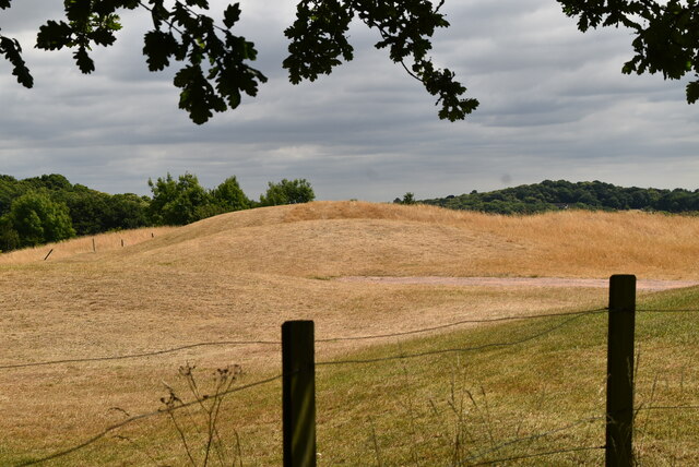
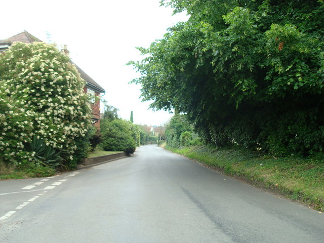
The village is characterized by its quintessential English charm, with traditional architecture and well-maintained buildings. The lush green fields surrounding Stonehill Green provide a stunning backdrop for long walks and outdoor activities. The area is also home to several nature reserves and woodlands, which attract nature enthusiasts and hikers.

Stonehill Green boasts a close-knit community, where residents take pride in maintaining the village's heritage and promoting a strong sense of belonging. The local pub serves as a social hub, offering a warm and welcoming atmosphere for residents and visitors alike. Additionally, the village hosts various community events throughout the year, fostering a sense of camaraderie among its residents.

Despite its rural setting, Stonehill Green benefits from excellent transport links. The nearby town of Sevenoaks provides access to major roads and a train station, offering convenient connections to London and other nearby towns. This makes Stonehill Green an ideal location for those seeking a peaceful countryside lifestyle without sacrificing accessibility to urban areas.

In conclusion, Stonehill Green offers a picturesque and tranquil setting, with its natural beauty, close-knit community, and convenient location. It is a place where residents can enjoy the best of both worlds - the peacefulness of rural living and the accessibility of nearby towns and cities.

If you have any feedback on the listing, please let us know in the comments section below.

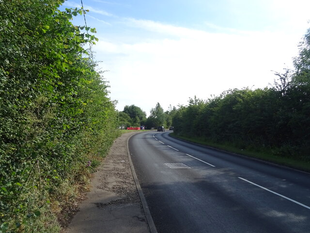
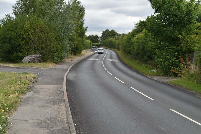
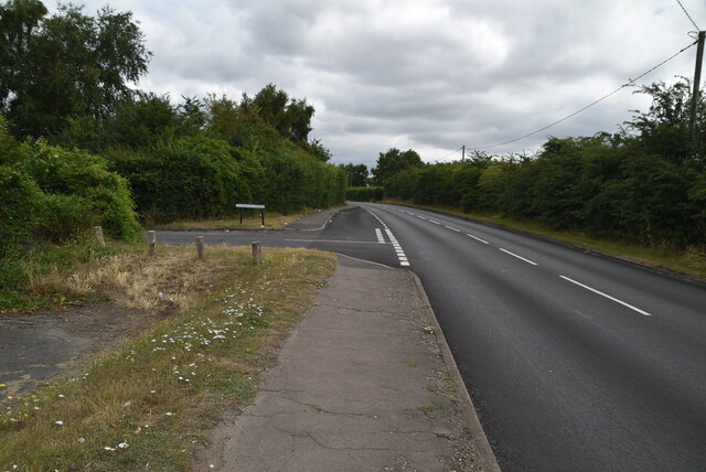
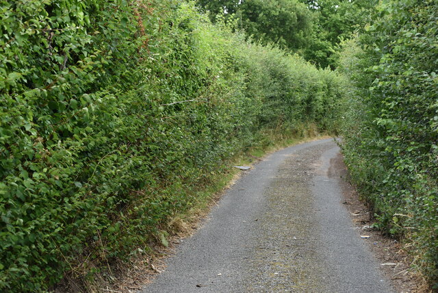
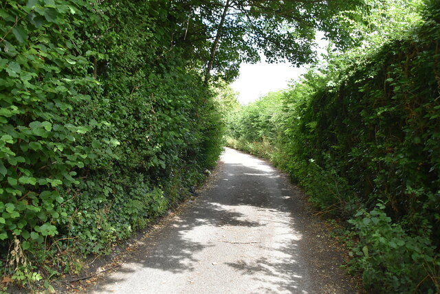
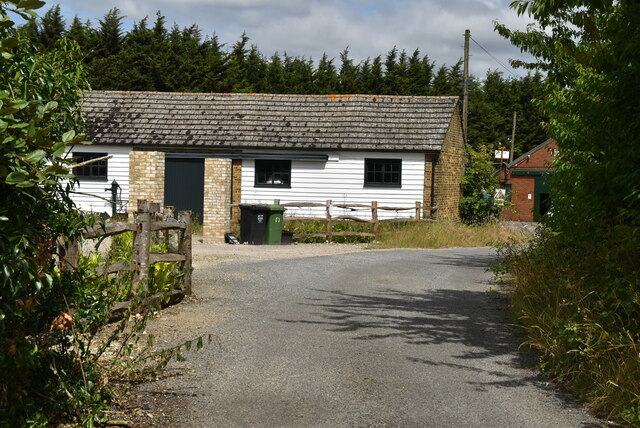
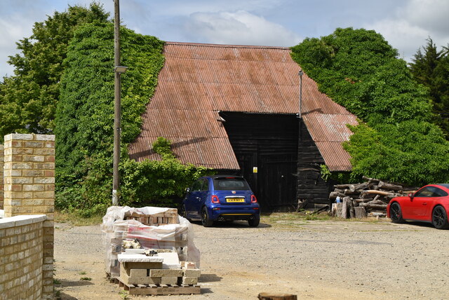
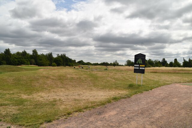
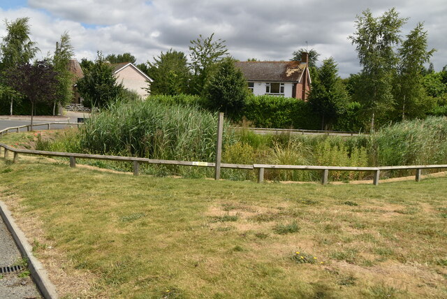
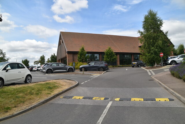
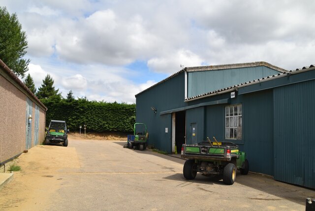
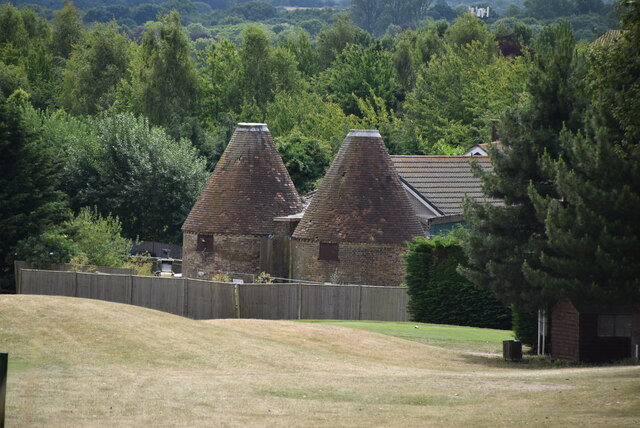
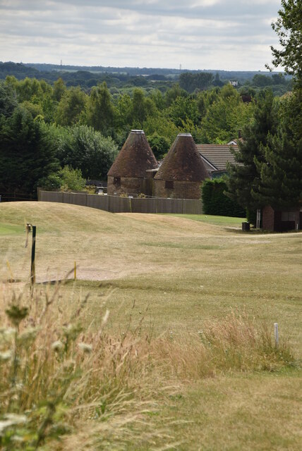
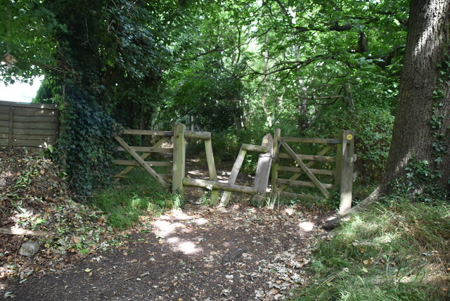
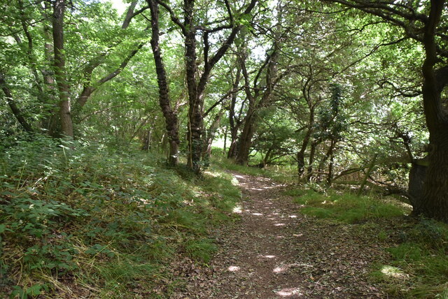
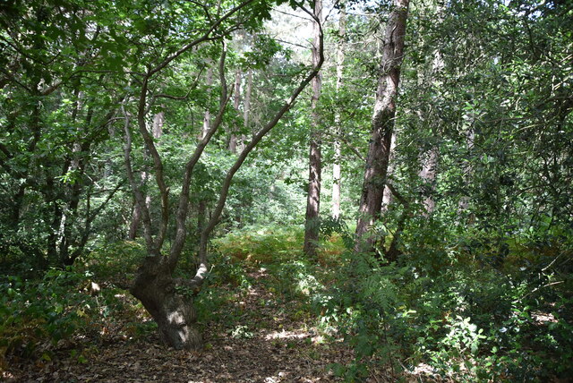
Stonehill Green Images

Images are sourced within 2km of 51.41241/0.16461798 or Grid Reference TQ5070. Thanks to Geograph Open Source API. All images are credited.

Birchwood Road towards Dartford
Birchwood Rd
Birchwood Rd
Birchwood Rd
Birchwood Rd
Stonehill Green
Stonehill Green
Stonehill Green
Stonehill Green
Stonehill Farm
Stonehill Farm
Barn, Stonehill Farm
The Forge
The Forge
Birchwood Park Golf Course Website: <span class="nowrap"><a title="www.birchwoodparkgc.co.uk/" rel="nofollow ugc noopener" href="http://www.birchwoodparkgc.co.uk/">Link</a><img style="margin-left:2px;" alt="External link" title="External link - shift click to open in new window" src="https://s1.geograph.org.uk/img/external.png" width="10" height="10"/></span>
Birchwood Park Golf Course
Website: LinkExternal link
Pond, Stonehill Green
Stonehill Green
Stonehill Green
Stonehill Green
Stonehill Green
Oast, Birchwood Park Golf Centre Buildings made to look like oast houses.
Oast, Birchwood Park Golf Centre
Buildings made to look like oast houses.
Oast, Birchwood Park Golf Centre Buildings made to look like oast houses.
Oast, Birchwood Park Golf Centre
Buildings made to look like oast houses.
Entering Joyden Wood A Woodland Trust site in Dartford borough, opened to the public in 1988.  Close to the A2 and A20 trunk roads,this remains a natural ancient woodland and contains visible remains of the ancient "Faesten Dic" (strong dyke), an Anglo-Saxon (or possibly older) defensive ditch.  It is approximately 130 hectares in area and contains many tracks and paths; the main tracks are open to horses and cyclists.
Entering Joyden Wood
A Woodland Trust site in Dartford borough, opened to the public in 1988. Close to the A2 and A20 trunk roads,this remains a natural ancient woodland and contains visible remains of the ancient "Faesten Dic" (strong dyke), an Anglo-Saxon (or possibly older) defensive ditch. It is approximately 130 hectares in area and contains many tracks and paths; the main tracks are open to horses and cyclists.
Joyden Wood A Woodland Trust site in Dartford borough, opened to the public in 1988.  Close to the A2 and A20 trunk roads,this remains a natural ancient woodland and contains visible remains of the ancient "Faesten Dic" (strong dyke), an Anglo-Saxon (or possibly older) defensive ditch.  It is approximately 130 hectares in area and contains many tracks and paths; the main tracks are open to horses and cyclists.
Joyden Wood
A Woodland Trust site in Dartford borough, opened to the public in 1988. Close to the A2 and A20 trunk roads,this remains a natural ancient woodland and contains visible remains of the ancient "Faesten Dic" (strong dyke), an Anglo-Saxon (or possibly older) defensive ditch. It is approximately 130 hectares in area and contains many tracks and paths; the main tracks are open to horses and cyclists.
Joyden Wood
Joyden Wood
Birchwood Park Golf Course Website: <span class="nowrap"><a title="www.birchwoodparkgc.co.uk/" rel="nofollow ugc noopener" href="http://www.birchwoodparkgc.co.uk/">Link</a><img style="margin-left:2px;" alt="External link" title="External link - shift click to open in new window" src="https://s1.geograph.org.uk/img/external.png" width="10" height="10"/></span>
Birchwood Park Golf Course
Website: LinkExternal link
Show me another place!

Stonehill Green is located at Grid Ref: TQ5070 (Lat: 51.41241, Lng: 0.16461798)

Administrative County: Kent

District: Dartford

Police Authority: Kent

What 3 Words

///values.vows.rate. Near Swanley, Kent

Related Wikis

Oasis Academy Hextable

Oasis Academy Hextable (formerly Hextable School) was a secondary school and sixth form with academy status, located in Hextable, Kent, England. ��2�...

Swanley New Barn Railway

The Swanley New Barn Railway is a 7+1⁄4 in (184 mm) gauge railway located in Swanley Park, Swanley, Kent, United Kingdom. It is signalled throughout with...

Hextable

Hextable is a village and civil parish in the Sevenoaks District of Kent, England. It lies 2 miles (3.2 km) north of Swanley and 4 miles (6.4 km) south...

Hockenden

Hockenden is a rural hamlet of South East London, within the London Borough of Bromley. It is located between Swanley and St Mary Cray, adjacent to the...

Nearby Amenities

Located within 500m of 51.41241,0.16461798
Crossing
Crossing Island: yes
Kerb: lowered
Lat/Long: 51.4133248/0.1653946
Post Box
Collection Times: Mo-Fr 09:00; Sa 07:00
Operator: Royal Mail
Operator Wikidata: Q638098
Post Box Type: pillar
Ref: DA2 50D
Royal Cypher: EIIR
Royal Cypher Wikidata: Q33102113
Lat/Long: 51.415441/0.1671374
Recycling
Recycling Glass Bottles: yes
Recycling Type: container
Lat/Long: 51.4101156/0.1614566
Bus Stop
Birchwood Road / Golf Course
Bench: no
Layby: yes
Local Ref: opp
Naptan AtcoCode: 2400A020300A
Naptan Bearing: SW
Naptan BusStopType: MKD
Naptan CommonName: Golf Course
Naptan Indicator: opp
Naptan Landmark: Golf Course
Naptan NaptanCode: kntawawp
Naptan RevisionNumber: 3
Naptan Status: act
Naptan Street: Birchwood Road
Naptan Verified: yes
Public Transport: platform
Ref: kntawawp
Shelter: no
Source: naptan_import
Source Date: 2018-04-26
Tactile Paving: no
Lat/Long: 51.4134628/0.1656313
Bus Stop
Birchwood Road / Golf Course
Bench: no
Layby: no
Local Ref: adj
Naptan AtcoCode: 2400A020810A
Naptan Bearing: NE
Naptan BusStopType: MKD
Naptan CommonName: Golf Course
Naptan Indicator: adj
Naptan Landmark: Golf Course
Naptan NaptanCode: kntawdwj
Naptan RevisionNumber: 4
Naptan Status: act
Naptan Street: Birchwood Road
Naptan Verified: yes
Note: name change to reflect sign.
Public Transport: platform
Ref: kntawdwj
Shelter: no
Source: naptan_import
Source Date: 2018-04-26
Tactile Paving: no
Lat/Long: 51.4138445/0.1657185
Noexit: yes
Lat/Long: 51.4102865/0.1619655
Crossing
Lat/Long: 51.4127704/0.164699
Birchwood Road / Golf Course
Bus: yes
Public Transport: stop_position
Source: survey
Lat/Long: 51.4135108/0.1655629
Birchwood Road / Golf Course
Bus: yes
Public Transport: stop_position
Source: survey
Lat/Long: 51.4138081/0.1658272
Bench
Backrest: yes
Colour: brown
Material: wood
Seats: 3
Lat/Long: 51.4159503/0.1653148
Gourmet Sausage Maker
Addr City: Dartford
Addr Postcode: DA2 7HD
Addr Street: Birchwood Road
Fhrs Id: 732815
Shop: butcher
Lat/Long: 51.4146268/0.1677936
Traffic Calming: island
Lat/Long: 51.4125608/0.1647513
Stonehill Green
Place: hamlet
Source: OS Open Names
Lat/Long: 51.4124093/0.1646438
Recycling
Recycling Glass Bottles: yes
Recycling Type: container
Lat/Long: 51.4100903/0.1613711
Recycling
Recycling Clothes: yes
Recycling Type: container
Lat/Long: 51.4100949/0.1613919
Recycling
Recycling Glass Bottles: yes
Recycling Type: container
Lat/Long: 51.410102/0.1614033
Recycling
Recycling Glass Bottles: yes
Recycling Type: container
Lat/Long: 51.4101066/0.1614234
Recycling
Recycling Glass Bottles: yes
Recycling Type: container
Lat/Long: 51.4101112/0.1614395
Access: customers
Barrier: swing_gate
Maxwidth Physical: 5
Lat/Long: 51.4146827/0.1671973
The data included in this document is from www.openstreetmap.org. The data is made available under ODbL.

Have you been to Stonehill Green?

Leave your review of Stonehill Green below (or comments, questions and feedback).