Stoneheads
Settlement in Cheshire High Peak
England
Stoneheads
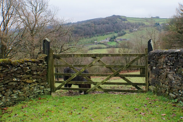
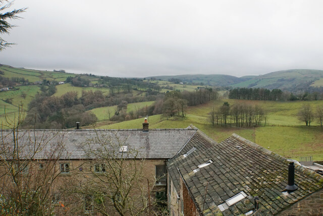
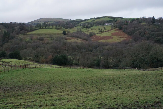
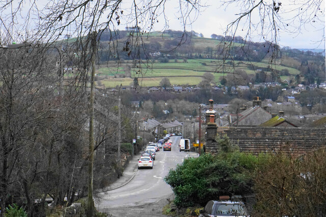
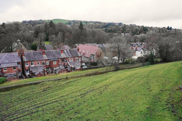
Stoneheads is a small village located in the county of Cheshire, England. Situated approximately 5 miles north-west of the town of Crewe, it falls within the unitary authority of Cheshire East. The village is surrounded by picturesque countryside, with rolling fields and farmland enhancing its rural charm.
Stoneheads has a population of around 500 residents, making it a tight-knit community. The village is primarily residential, with a mix of traditional cottages and more modern houses. It offers a peaceful and tranquil environment, perfect for those seeking a quieter way of life away from the hustle and bustle of larger towns and cities.
Despite its small size, Stoneheads boasts several amenities to cater to the needs of its residents. These include a local pub, a village hall used for community gatherings and events, and a small convenience store providing essential goods. The village also has a primary school, ensuring that families have access to education within the local area.
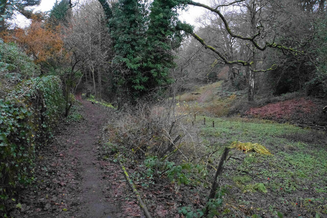
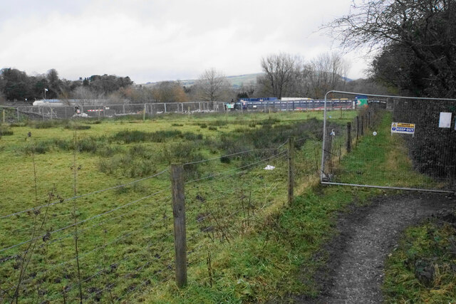
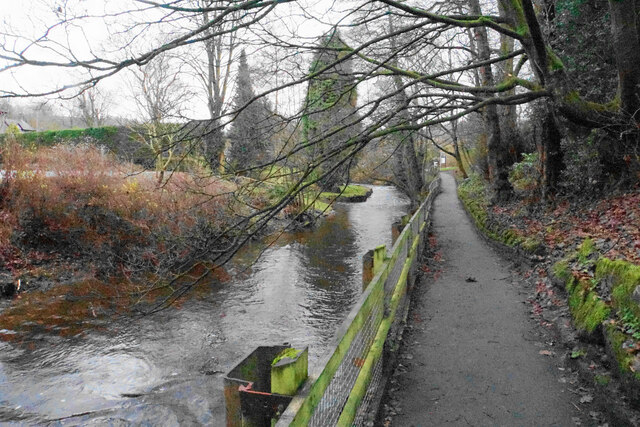
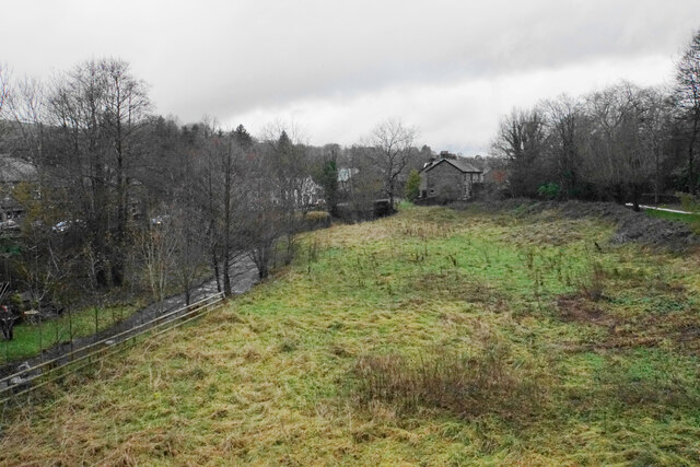
For outdoor enthusiasts, Stoneheads offers ample opportunities for walking, cycling, and exploring the surrounding countryside. There are numerous footpaths and bridleways that crisscross the area, providing access to stunning landscapes and scenic views.
Overall, Stoneheads is a charming and close-knit village in Cheshire, offering a peaceful and idyllic lifestyle for its residents. With its beautiful surroundings and community spirit, it is a place where locals can connect with nature and enjoy the benefits of rural living.
If you have any feedback on the listing, please let us know in the comments section below.
Stoneheads Images
Images are sourced within 2km of 53.332382/-1.9972577 or Grid Reference SK0081. Thanks to Geograph Open Source API. All images are credited.
Stoneheads is located at Grid Ref: SK0081 (Lat: 53.332382, Lng: -1.9972577)
Administrative County: Derbyshire
District: High Peak
Police Authority: Derbyshire
What 3 Words
///repeat.belonging.ants. Near Whaley Bridge, Derbyshire
Nearby Locations
Related Wikis

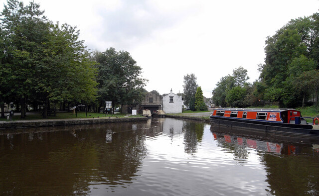
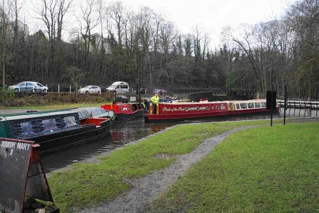
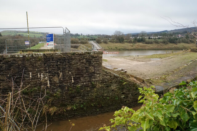
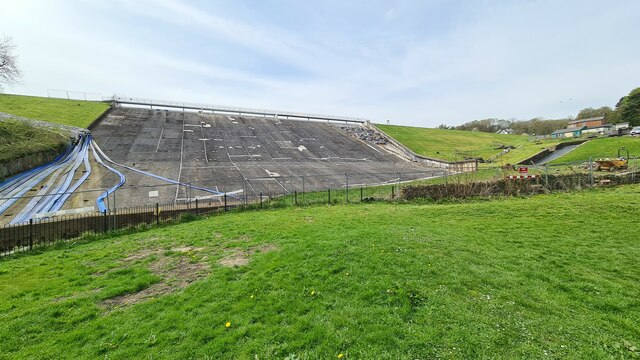
Toddbrook Reservoir
Toddbrook Reservoir, a feeder for the Peak Forest Canal, opened in 1838. It is above the town of Whaley Bridge in the High Peak area of Derbyshire, England...

Whaley Bridge railway station
Whaley Bridge railway station serves the Peak District town of Whaley Bridge in Derbyshire, England. The station is on the Manchester-Buxton Line 16+1...
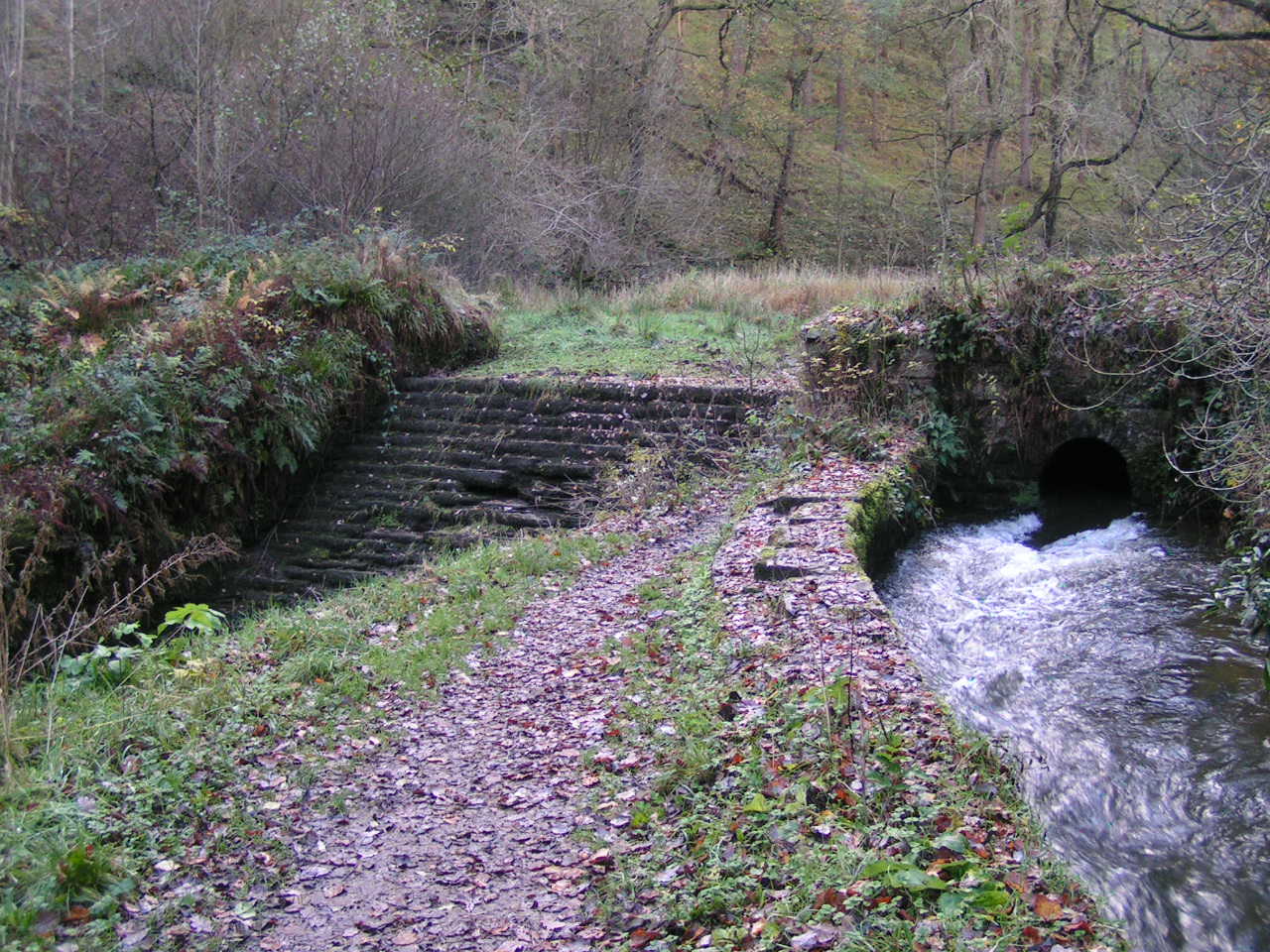
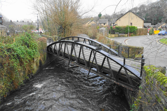
Todd Brook
Todd Brook is a small river running through the English counties of Cheshire and Derbyshire. The Brook rises beneath Shining Tor on the border between...

Whaley Bridge
Whaley Bridge () is a town and civil parish in the High Peak district of Derbyshire, England. It is situated on the River Goyt, 16 miles (26 km) south...
Nearby Amenities
Located within 500m of 53.332382,-1.9972577Have you been to Stoneheads?
Leave your review of Stoneheads below (or comments, questions and feedback).