Stockwood

Settlement in Dorset

England

Stockwood

Ford, Melbury Osmond Bridleway W33 9 crosses a stream by ford and footbridge.
Ford, Melbury Osmond Credit: Derek Harper

Stockwood is a small village located in the county of Dorset, England. Situated approximately 5 miles southwest of the town of Wareham, Stockwood is nestled amidst picturesque countryside and offers a tranquil and idyllic setting for its residents.

The village is known for its charming and quintessentially English architecture, with many traditional thatched-roof cottages lining its streets. The local community is close-knit and friendly, creating a welcoming atmosphere for both residents and visitors alike.

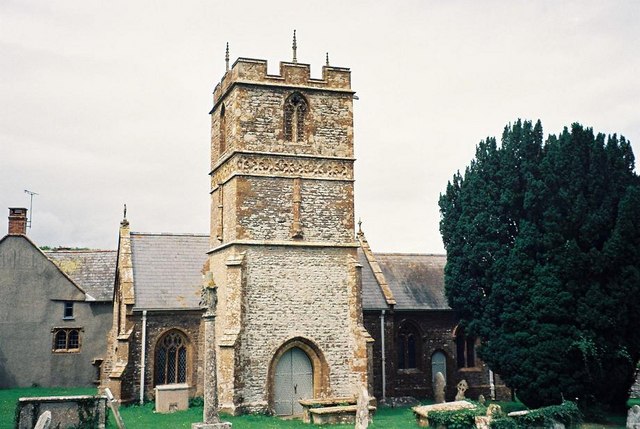
Despite its small size, Stockwood boasts a number of amenities to cater to the needs of its residents. These include a village hall, a primary school, and a local pub that serves as a popular meeting place for locals. The village is also home to a beautiful church, St. Mary's, which dates back to the 12th century and is a notable historical landmark in the area.

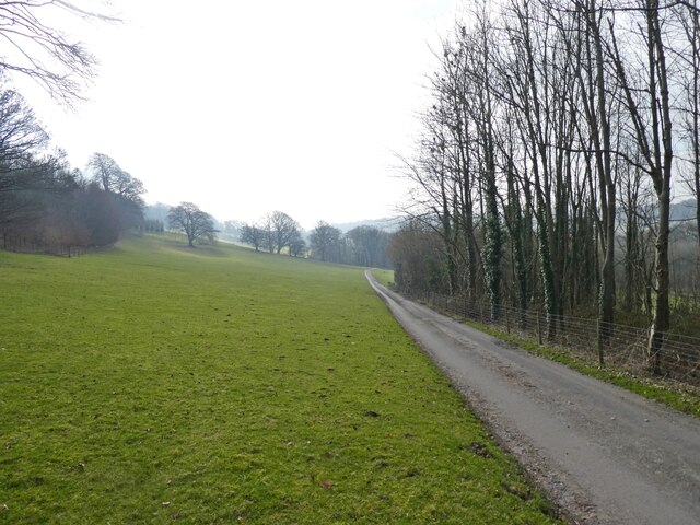
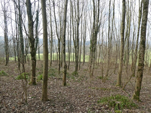
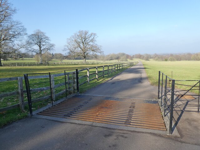
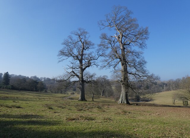
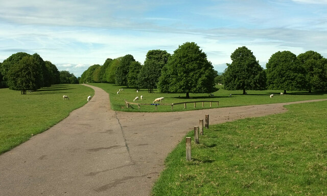
Surrounded by rolling hills and fields, Stockwood offers ample opportunities for outdoor activities and exploration. The village is located near the expansive Wareham Forest, which provides a picturesque backdrop for walks, cycling, and picnics. Additionally, the nearby River Frome offers opportunities for fishing and boating.

Overall, Stockwood is a charming village that offers a peaceful and scenic environment for its residents. With its rich history and close community spirit, it is a delightful place to call home in the heart of Dorset.

If you have any feedback on the listing, please let us know in the comments section below.

Stockwood Images

Images are sourced within 2km of 50.861667/-2.5873751 or Grid Reference ST5807. Thanks to Geograph Open Source API. All images are credited.

Ford, Melbury Osmond Bridleway W33 9 crosses a stream by ford and footbridge.
Ford, Melbury Osmond
Bridleway W33 9 crosses a stream by ford and footbridge.
Track to Hazel Farm
Track to Hazel Farm
Footpath to Evershot
Melbury House and Chapel
Cattle grid in Melbury Park
Ancient Cedar tree in Melbury Park
A pair of venerable trees in Melbury Park
Herd of deer at Melbury Park Destined for Waitrose, apparently.
Herd of deer at Melbury Park
Destined for Waitrose, apparently.
Ford at Melbury Osmond This ford is found at Town’s End near Melbury Osmond.
Ford at Melbury Osmond
This ford is found at Town’s End near Melbury Osmond.
Melbury Park The Hardy and Macmillan Ways follow footpath W28 1.
Melbury Park
The Hardy and Macmillan Ways follow footpath W28 1.
Trees, Melbury Park An oak in the foreground.
Trees, Melbury Park
An oak in the foreground.
Melbury Park Looking towards Melbury Lake.
Melbury Park
Looking towards Melbury Lake.
Melbury Park The Hardy and Macmillan Ways follow footpath W34 1.
Melbury Park
The Hardy and Macmillan Ways follow footpath W34 1.
Private road, Melbury Park Leaving the footpath used by the Hardy and Macmillan Ways and heading off towards High Woods Pond.
Private road, Melbury Park
Leaving the footpath used by the Hardy and Macmillan Ways and heading off towards High Woods Pond.
Melbury House The grade I listed building is a "Country House in parkland. c.1530 quadrangular house with Prospect Tower built for Giles Strangways, by Ham Hill school of masons". Later changes are described at <span class="nowrap"><a title="https://historicengland.org.uk/listing/the-list/list-entry/1119248?section=official-list-entry" rel="nofollow ugc noopener" href="https://historicengland.org.uk/listing/the-list/list-entry/1119248?section=official-list-entry">Link</a><img style="margin-left:2px;" alt="External link" title="External link - shift click to open in new window" src="https://s1.geograph.org.uk/img/external.png" width="10" height="10"/></span> . To the left is St Mary's church, also grade I listed <span class="nowrap"><a title="https://historicengland.org.uk/listing/the-list/list-entry/1323935?section=official-list-entry" rel="nofollow ugc noopener" href="https://historicengland.org.uk/listing/the-list/list-entry/1323935?section=official-list-entry">Link</a><img style="margin-left:2px;" alt="External link" title="External link - shift click to open in new window" src="https://s1.geograph.org.uk/img/external.png" width="10" height="10"/></span> .
Melbury House
The grade I listed building is a "Country House in parkland. c.1530 quadrangular house with Prospect Tower built for Giles Strangways, by Ham Hill school of masons". Later changes are described at LinkExternal link . To the left is St Mary's church, also grade I listed LinkExternal link .
Melbury Sampford: church and house A slightly more revealing view than <a href="https://www.geograph.org.uk/photo/7576045">ST5706 : Melbury House</a>, with the Prospect Tower prominent on the right: "square foundation, becoming hexagonal in top stage via stone squinches, octagonal buttressing and finials, castellated parapet and higher hexagonal stair-turret castellated on north-west". More at <span class="nowrap"><a title="https://historicengland.org.uk/listing/the-list/list-entry/1119248?section=official-list-entry" rel="nofollow ugc noopener" href="https://historicengland.org.uk/listing/the-list/list-entry/1119248?section=official-list-entry">Link</a><img style="margin-left:2px;" alt="External link" title="External link - shift click to open in new window" src="https://s1.geograph.org.uk/img/external.png" width="10" height="10"/></span> . The church is described at <span class="nowrap"><a title="https://historicengland.org.uk/listing/the-list/list-entry/1323935?section=official-list-entry" rel="nofollow ugc noopener" href="https://historicengland.org.uk/listing/the-list/list-entry/1323935?section=official-list-entry">Link</a><img style="margin-left:2px;" alt="External link" title="External link - shift click to open in new window" src="https://s1.geograph.org.uk/img/external.png" width="10" height="10"/></span> .
Melbury Sampford: church and house
A slightly more revealing view than ST5706 : Melbury House, with the Prospect Tower prominent on the right: "square foundation, becoming hexagonal in top stage via stone squinches, octagonal buttressing and finials, castellated parapet and higher hexagonal stair-turret castellated on north-west". More at LinkExternal link . The church is described at LinkExternal link .
Melbury Park Looking in the opposite direction from <a href="https://www.geograph.org.uk/photo/7576046">ST5706 : Melbury Sampford: church and house</a>, with the road carrying the Hardy and Macmillan Ways following footpath W34 1.
Melbury Park
Looking in the opposite direction from ST5706 : Melbury Sampford: church and house, with the road carrying the Hardy and Macmillan Ways following footpath W34 1.
Path junction, Melbury Park Footpath W34 1 keeps straight on, carrying the Hardy and Macmillan Ways, while footpath W34 2 turns right. Melbury Park is grade II* listed <span class="nowrap"><a title="https://historicengland.org.uk/listing/the-list/list-entry/1000531?section=official-list-entry" rel="nofollow ugc noopener" href="https://historicengland.org.uk/listing/the-list/list-entry/1000531?section=official-list-entry">Link</a><img style="margin-left:2px;" alt="External link" title="External link - shift click to open in new window" src="https://s1.geograph.org.uk/img/external.png" width="10" height="10"/></span> .
Path junction, Melbury Park
Footpath W34 1 keeps straight on, carrying the Hardy and Macmillan Ways, while footpath W34 2 turns right. Melbury Park is grade II* listed LinkExternal link .
Show me another place!

Stockwood is located at Grid Ref: ST5807 (Lat: 50.861667, Lng: -2.5873751)

Unitary Authority: Dorset

Police Authority: Dorset

What 3 Words

///highlighted.startles.sweat. Near Yetminster, Dorset

Related Wikis

Stockwood, Dorset

Stockwood is a village and civil parish in west Dorset, England, around eight miles south-west of Sherborne and less than a mile away from Chetnole railway...

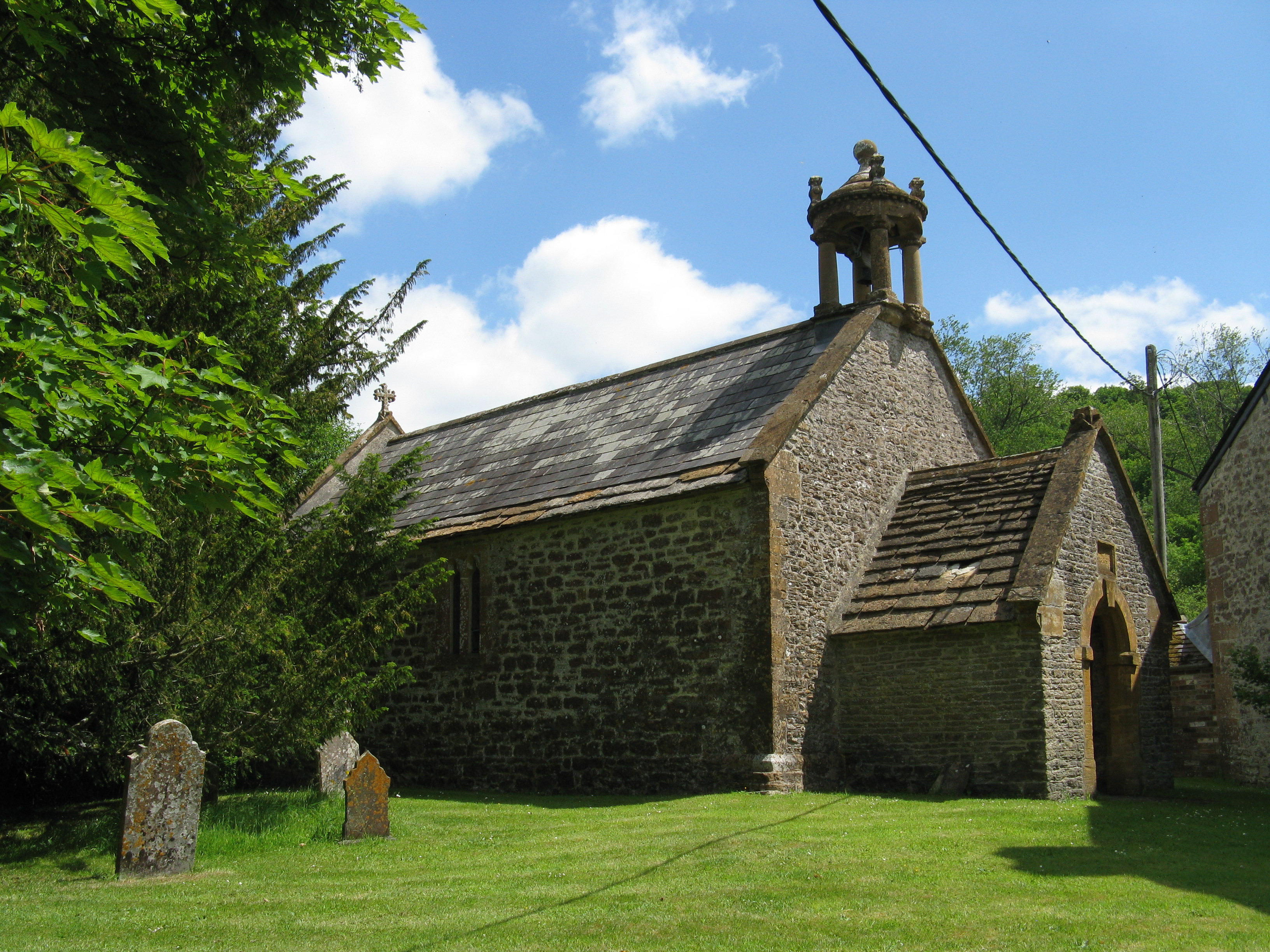
St Edwold's Church, Stockwood

St Edwold's Church in Stockwood, Dorset, England was rebuilt in the 15th century. It is recorded in the National Heritage List for England as a designated...

Melbury Bubb

Melbury Bubb is a small village and civil parish in the county of Dorset in South West England, situated approximately 7 miles (11 km) south of the town...

Chetnole railway station

Chetnole railway station is a small rural station serving the village of Chetnole, Dorset, England. The station is on the Heart of Wessex Line 21¼ miles...

Nearby Amenities

Located within 500m of 50.861667,-2.5873751
Stockwood
Place: hamlet
Source: NLS - OS 1:25k 1st Series 1937-61
Lat/Long: 50.860567/-2.5865829
The data included in this document is from www.openstreetmap.org. The data is made available under ODbL.

Have you been to Stockwood?

Leave your review of Stockwood below (or comments, questions and feedback).