St Andrew
Settlement in Somerset Mendip
England
St Andrew

St Andrew is a small village located in Somerset, England. Situated in the South West region of the country, it is part of the Mendip district and lies approximately 10 miles south of the city of Bristol. The village is nestled amidst the picturesque Somerset countryside, offering stunning views of rolling hills and lush greenery.
St Andrew is known for its rich history, with evidence of human settlement in the area dating back to the Roman times. The village is home to several notable landmarks, including the Grade I listed St Andrew's Church, which dates back to the 13th century and boasts beautiful stained glass windows and intricate architecture.
The village itself is small and charming, with a tight-knit community that fosters a welcoming and friendly atmosphere. It has a few amenities, including a local pub and a small convenience store, which cater to the needs of residents and visitors alike.
Nature lovers are drawn to St Andrew for its proximity to the Mendip Hills Area of Outstanding Natural Beauty, which provides ample opportunities for hiking, cycling, and exploring the stunning local landscapes. The village is also within reach of popular nearby attractions, such as Cheddar Gorge and Wookey Hole Caves, both of which attract a significant number of tourists throughout the year.
Overall, St Andrew is a tranquil and idyllic village, perfect for those seeking a peaceful retreat amidst the beauty of the Somerset countryside.
If you have any feedback on the listing, please let us know in the comments section below.
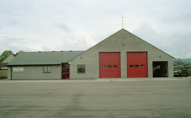
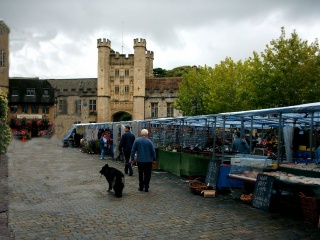
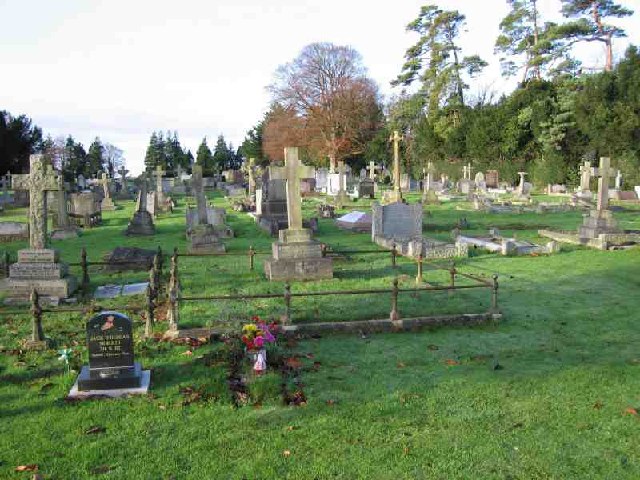
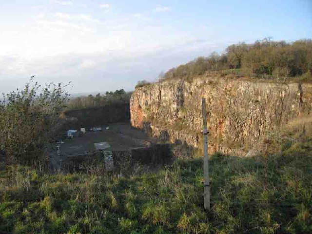
St Andrew Images
Images are sourced within 2km of 51.21125/-2.6423206 or Grid Reference ST5545. Thanks to Geograph Open Source API. All images are credited.


St Andrew is located at Grid Ref: ST5545 (Lat: 51.21125, Lng: -2.6423206)
Administrative County: Somerset
District: Mendip
Police Authority: Avon and Somerset
What 3 Words
///ejects.evoke.conquest. Near Wells, Somerset
Nearby Locations
Related Wikis
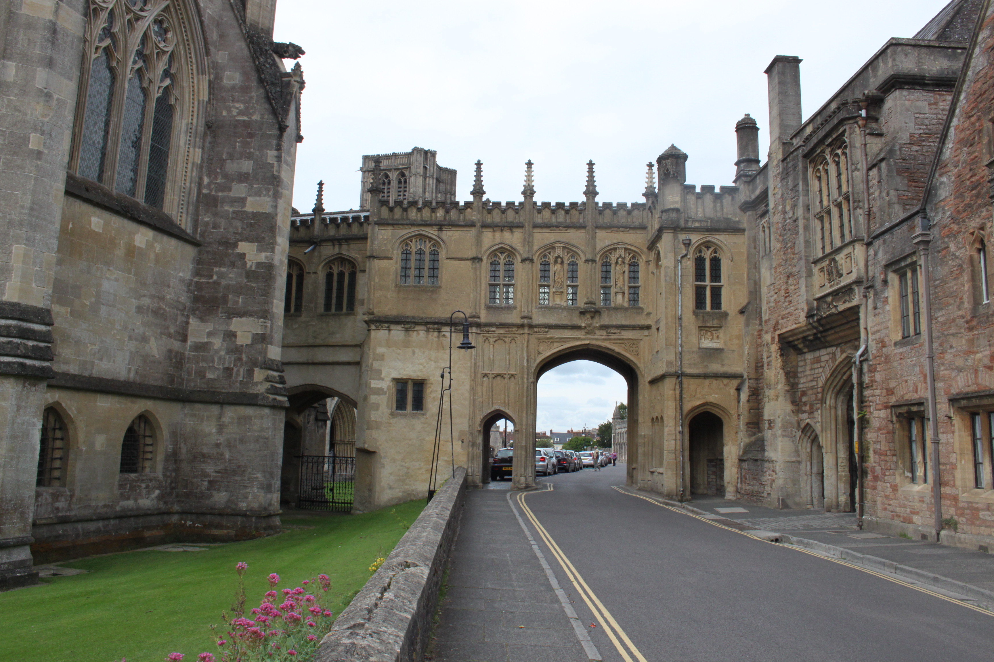
Chain Gate, Wells
The Chain Gate in Wells, Somerset, England, is an entrance gateway adjacent to the north side of Wells Cathedral, controlling access from St Andrew Street...
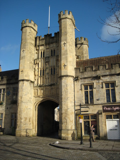
Wells St Andrew
Wells St Andrew, or St Andrew Liberty, or derivations thereof, was a liberty, ecclesiastical parish, and later a civil parish, containing Wells Cathedral...
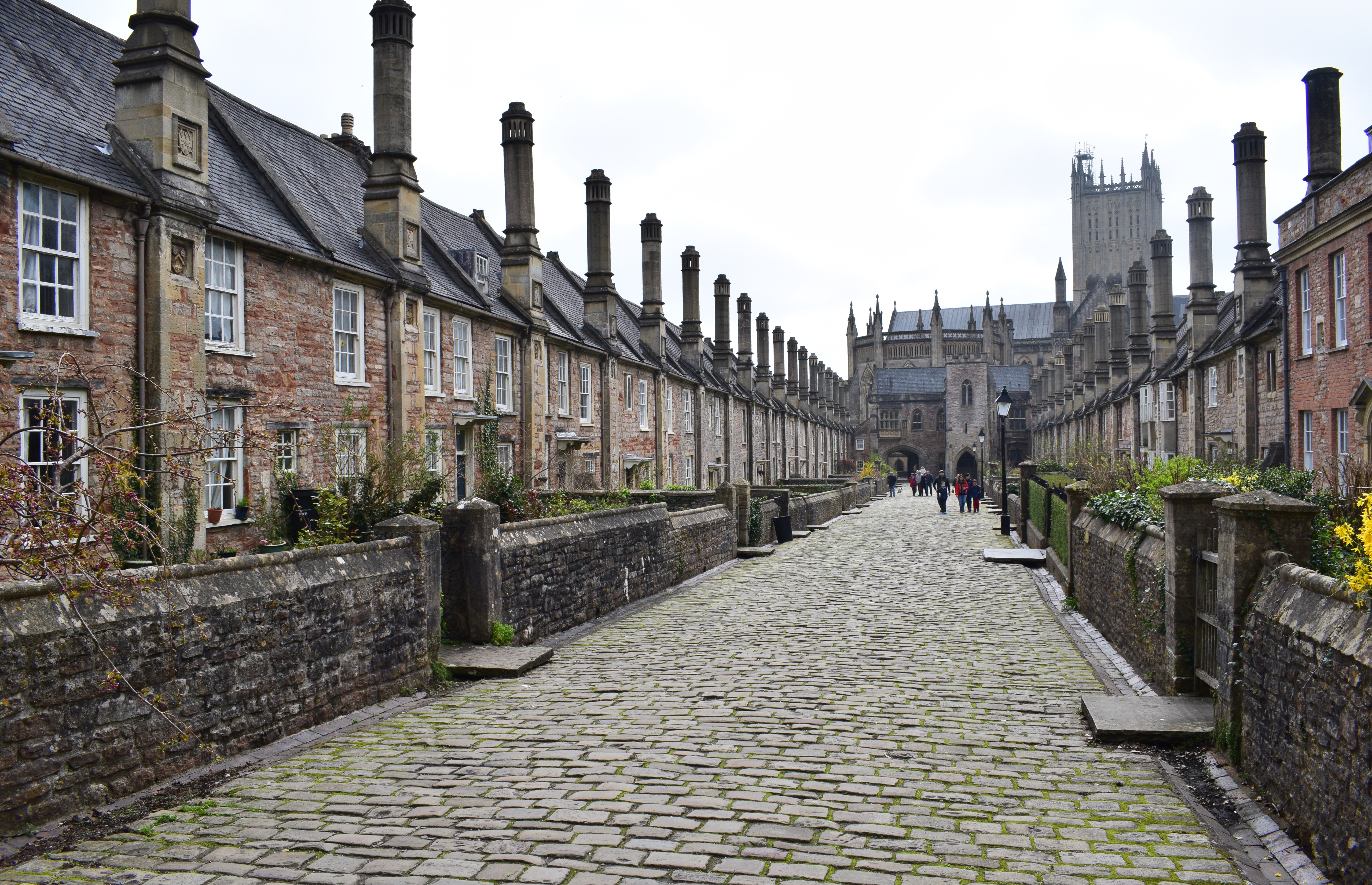
Vicars' Close, Wells
Vicars' Close, in Wells, Somerset, England, is claimed to be the oldest purely residential street with original buildings surviving intact in Europe. John...

Diocese of Bath and Wells
The Diocese of Bath and Wells is a diocese in the Church of England Province of Canterbury in England. The diocese covers the county of Somerset and a...
Nearby Amenities
Located within 500m of 51.21125,-2.6423206Have you been to St Andrew?
Leave your review of St Andrew below (or comments, questions and feedback).