Southfield Lea

Settlement in Northumberland

England

Southfield Lea

Front Street (B1505), Annitsford
Front Street (B1505), Annitsford Credit: habiloid

Southfield Lea is a charming village located in the county of Northumberland, in the northeast of England. Situated in the picturesque Tyne Valley, it is surrounded by stunning countryside and offers a peaceful and idyllic setting for its residents.

The village is known for its close-knit community and friendly atmosphere. With a population of around 500 people, Southfield Lea maintains a strong sense of community spirit and has a range of local amenities to cater to the needs of its residents. These include a village hall, a primary school, a pub, and a small convenience store.

The surrounding natural beauty of Southfield Lea makes it an ideal location for outdoor enthusiasts. The village is surrounded by rolling hills, lush green fields, and several walking and cycling trails, providing ample opportunities for recreational activities and exploration of the countryside.

Southfield Lea is also conveniently located for those who need access to larger towns and cities. The bustling market town of Hexham is just a short drive away, offering a wider range of amenities including supermarkets, shops, and leisure facilities. Additionally, the city of Newcastle upon Tyne is easily accessible, providing further options for shopping, entertainment, and cultural experiences.

Overall, Southfield Lea is a delightful village that offers a peaceful and scenic lifestyle, making it an attractive place to live for those seeking a tranquil countryside setting with easy access to nearby amenities.

If you have any feedback on the listing, please let us know in the comments section below.

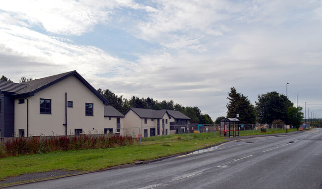
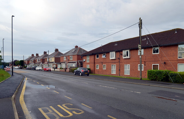
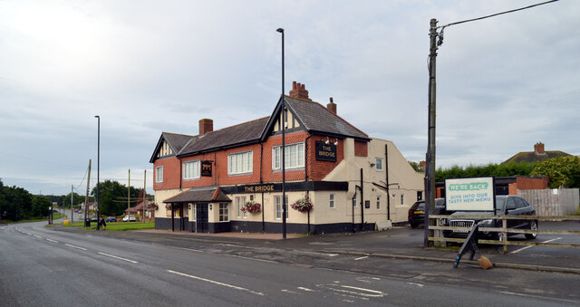
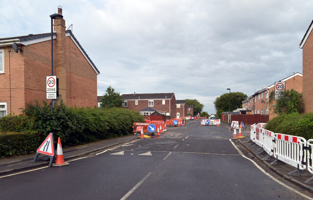
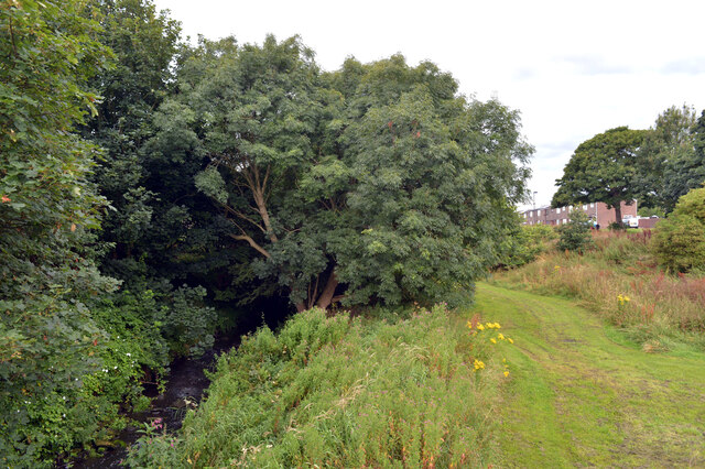
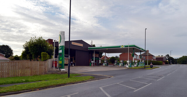
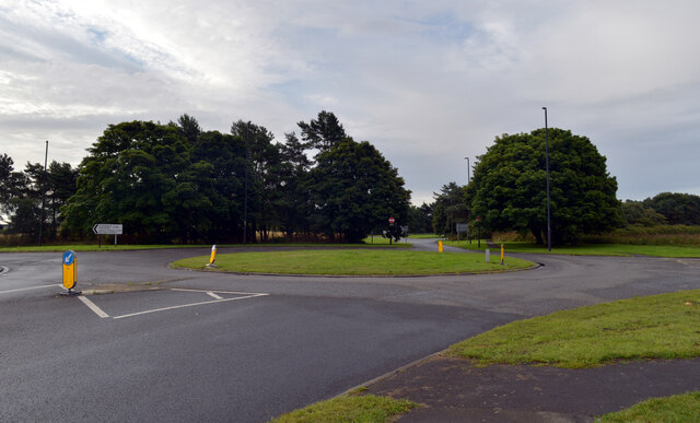
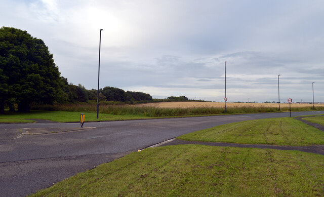
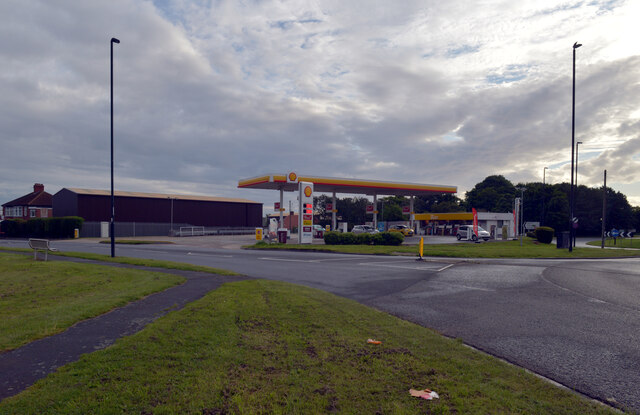
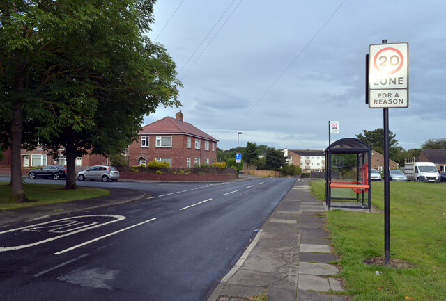
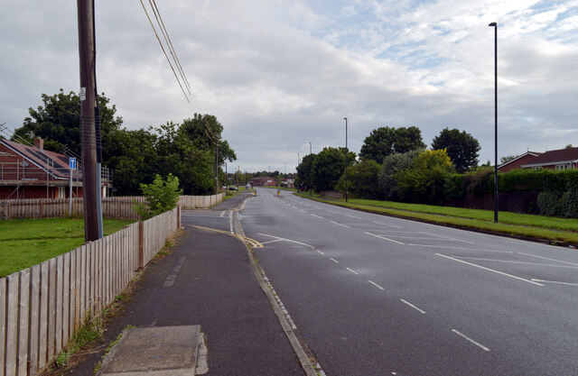
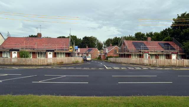
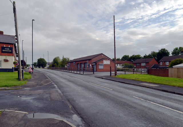
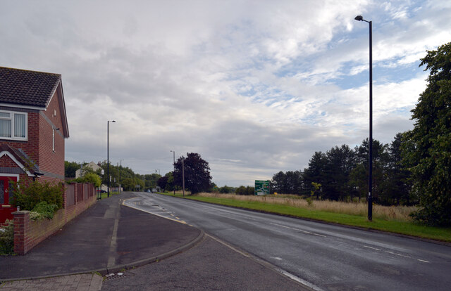
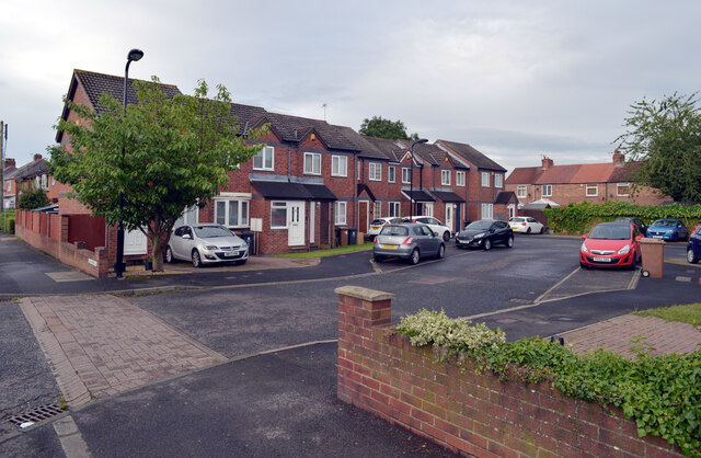
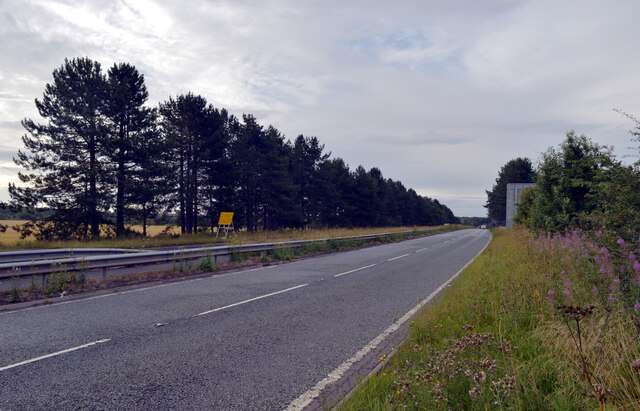
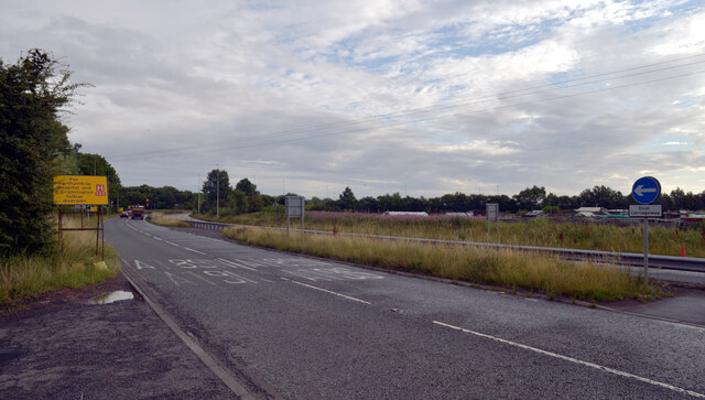
Southfield Lea Images

Images are sourced within 2km of 55.070294/-1.5761884 or Grid Reference NZ2775. Thanks to Geograph Open Source API. All images are credited.

Front Street (B1505), Annitsford
New houses, Front Street (B1505), Annitsford
Front Street (B1505), Annitsford
The Bridge, Front Street (B1505), Annitsford
Harrison Court, Annitsford
Seaton Burn seen from Front Street, Annitsford
Petrol station, Front Street (B1505), Annitsford
Roundabout at the junction of Front Street (B1505) and the B1321, Annitsford
The B1321, Annitsford Leaving the roundabout at its junction with Front Street (B1505).
The B1321, Annitsford
Leaving the roundabout at its junction with Front Street (B1505).
Petrol station, Front Street (B1505), Annitsford
Fern Drive, Annitsford
Front Street (B1505), Annitsford
Bridge Cottages seen from Front Street (B1505), Annitsford
Front Street (B1505), Annitsford The Bridge pub and Bridge Garage are on this part of Front Street; houses on The Spinney can be seen behind the garage.
Front Street (B1505), Annitsford
The Bridge pub and Bridge Garage are on this part of Front Street; houses on The Spinney can be seen behind the garage.
Front Street (B1505), Annitsford The large road sign beyond the grass is on the A189.
Front Street (B1505), Annitsford
The large road sign beyond the grass is on the A189.
Hanover Court seen from Front Street (B1505), Annitsford
The A189, Annitsford The A189 is an important A-road in southeast Northumberland, running for almost 21 miles from Gateshead to Ashington.

North of urban Tyne and Wear, the A189 is often referred to as simply “the Spine Road”. It is an example of a road which was constructed to promote regeneration of a whole area by improving road access to Tyneside and the A1 and A19 trunk roads. Construction of the Spine Road was undertaken in stages in the late 1960s and 1970s to facilitate regeneration of the historic coalfield area of South East Northumberland, which by this time was suffering from pit closures and loss of employment.

<span class="nowrap"><a title="https://www.sabre-roads.org.uk/wiki/index.php?title=A189" rel="nofollow ugc noopener" href="https://www.sabre-roads.org.uk/wiki/index.php?title=A189">Link</a><img style="margin-left:2px;" alt="External link" title="External link - shift click to open in new window" src="https://s1.geograph.org.uk/img/external.png" width="10" height="10"/></span> SABRE
<span class="nowrap"><a title="https://www.ciht.org.uk/media/8078/the_a189_spine_road.pdf" rel="nofollow ugc noopener" href="https://www.ciht.org.uk/media/8078/the_a189_spine_road.pdf">Link</a><img style="margin-left:2px;" alt="External link" title="External link - shift click to open in new window" src="https://s1.geograph.org.uk/img/external.png" width="10" height="10"/></span> CIHT
The A189, Annitsford
The A189 is an important A-road in southeast Northumberland, running for almost 21 miles from Gateshead to Ashington. North of urban Tyne and Wear, the A189 is often referred to as simply “the Spine Road”. It is an example of a road which was constructed to promote regeneration of a whole area by improving road access to Tyneside and the A1 and A19 trunk roads. Construction of the Spine Road was undertaken in stages in the late 1960s and 1970s to facilitate regeneration of the historic coalfield area of South East Northumberland, which by this time was suffering from pit closures and loss of employment. LinkExternal link SABRE LinkExternal link CIHT
Show me another place!

Southfield Lea is located at Grid Ref: NZ2775 (Lat: 55.070294, Lng: -1.5761884)

Unitary Authority: Northumberland

Police Authority: Northumbria

What 3 Words

///plot.teams.dishes. Near Seghill, Northumberland

Related Wikis

Northumbria Specialist Emergency Care Hospital

The Northumbria Specialist Emergency Care Hospital is a hospital specialising in emergency care for sick and injured patients, opened in 2015 in Cramlington...

Stonelaw Middle School

Stonelaw County Middle School was a middle school in Cramlington, Northumberland, England, normally referred to as Stonelaw. Operating under the three...
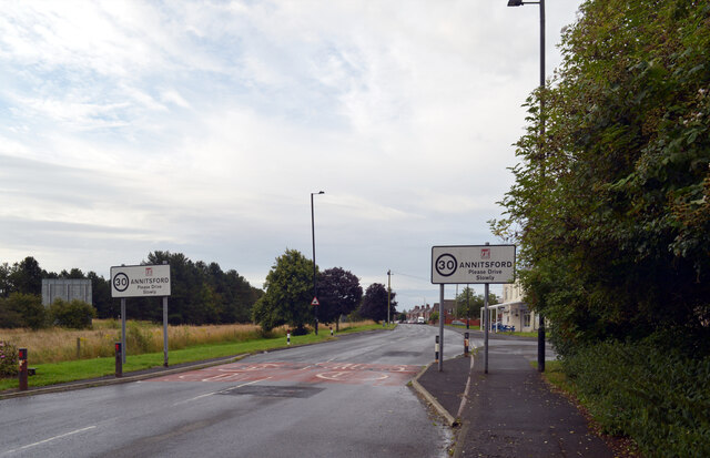
Annitsford

Annitsford is a semi-rural village located in North Tyneside (formerly South East Northumberland), on the border between Tyne and Wear and Northumberland...

Cramlington Learning Village

Cramlington Learning Village, formerly Cramlington Community High School, is a large high school with academy status in Cramlington, Northumberland, England...

Nearby Amenities

Located within 500m of 55.070294,-1.5761884
Mini Roundabout
Direction: clockwise
Lat/Long: 55.0663041/-1.5793554
Elley Dee's Underpass (Wildspace Network)
Artist Name: Jeremy Lord
Artwork Type: sculpture
Created By: xybot
Tourism: artwork
Website: http://www.wansbeck.gov.uk/index.cfm?page=single.cfm§ionid=792&id=5
Lat/Long: 55.071582/-1.5740004
Noexit: yes
Lat/Long: 55.0738643/-1.5784871
Noexit: yes
Lat/Long: 55.0735595/-1.5777183
Noexit: yes
Lat/Long: 55.0730734/-1.5747658
Noexit: yes
Lat/Long: 55.0733194/-1.5741668
Noexit: yes
Lat/Long: 55.0730453/-1.5750379
Noexit: yes
Lat/Long: 55.0727212/-1.5759946
Post Box
Brand: Royal Mail
Brand Wikidata: Q638098
Operator: Royal Mail
Operator Wikidata: Q638098
Post Box Type: lamp
Postal Code: NE23 6HT
Ref: NE23 61
Lat/Long: 55.0739381/-1.5742369
Noexit: yes
Lat/Long: 55.0714207/-1.5797876
Noexit: yes
Lat/Long: 55.0736963/-1.5788511
Noexit: yes
Lat/Long: 55.0723637/-1.5784849
Post Box
Post Box Type: lamp
Postal Code: NE23 6PJ
Ref: NE23 560
Lat/Long: 55.0701698/-1.579394
Noexit: yes
Lat/Long: 55.0714607/-1.5819146
Traffic Signals
Traffic Signals: signal
Lat/Long: 55.0660271/-1.5779848
Traffic Signals
Traffic Signals: signal
Lat/Long: 55.0659592/-1.5782296
Noexit: yes
Lat/Long: 55.0739185/-1.5799377
Noexit: yes
Lat/Long: 55.0727744/-1.5750466
Noexit: yes
Lat/Long: 55.0740843/-1.5753213
Noexit: yes
Lat/Long: 55.074059/-1.5750444
Noexit: yes
Lat/Long: 55.0734893/-1.578461
Noexit: yes
Lat/Long: 55.070247/-1.5786423
Noexit: yes
Lat/Long: 55.072258/-1.5758421
Noexit: yes
Lat/Long: 55.0708356/-1.5766677
Noexit: yes
Lat/Long: 55.0713489/-1.5793812
Noexit: yes
Lat/Long: 55.0687852/-1.5790468
Noexit: yes
Lat/Long: 55.0690928/-1.5809255
Noexit: yes
Lat/Long: 55.0689021/-1.5800613
Noexit: yes
Lat/Long: 55.0692466/-1.5818826
Noexit: yes
Lat/Long: 55.0691092/-1.577545
Noexit: yes
Lat/Long: 55.0699391/-1.5778846
Noexit: yes
Lat/Long: 55.0697087/-1.583662
Noexit: yes
Lat/Long: 55.0694388/-1.5827952
Noexit: yes
Lat/Long: 55.0724445/-1.5777625
Noexit: yes
Lat/Long: 55.0728994/-1.5771185
Bus Stop
Bus: yes
Departures Board: timetable
Public Transport: platform
Shelter: yes
Lat/Long: 55.068355/-1.5772517
Bus Stop
Bench: yes
Bus: yes
Departures Board: timetable
Naptan AtcoCode: 3100Z271751
Naptan NaptanCode: nldajdaw
Public Transport: platform
Shelter: yes
Lat/Long: 55.0687253/-1.5772684
Bus Stop
Bench: yes
Bus: yes
Naptan AtcoCode: 3100Z272753
Naptan NaptanCode: nldgjwpt
Public Transport: platform
Shelter: yes
Lat/Long: 55.0718839/-1.5748209
Barrier: bollard
Lat/Long: 55.0720415/-1.5749091
Bus Stop
Collingwood Chase, Bay Horse
Bench: yes
Bin: yes
Bus: yes
Departures Board: timetable
Naptan AtcoCode: 3100Z272754
Naptan NaptanCode: nldajawa
Public Transport: platform
Shelter: yes
Lat/Long: 55.0720937/-1.5748417
Noexit: yes
Lat/Long: 55.072711/-1.582168
Noexit: yes
Lat/Long: 55.073515/-1.5810359
Noexit: yes
Lat/Long: 55.0730971/-1.5816742
Give Way
Direction: forward
Lat/Long: 55.071922/-1.5766663
Noexit: yes
Lat/Long: 55.0718211/-1.5787133
Give Way
Direction: forward
Lat/Long: 55.0703268/-1.5762729
Give Way
Direction: forward
Lat/Long: 55.0708509/-1.577599
Generator Method: photovoltaic
Generator Output Electricity: yes
Generator Source: solar
Generator Type: solar_photovoltaic_panel
Location: roof
Power: generator
Lat/Long: 55.0720729/-1.5773937
Generator Method: photovoltaic
Generator Output Electricity: yes
Generator Source: solar
Generator Type: solar_photovoltaic_panel
Location: roof
Power: generator
Lat/Long: 55.0721421/-1.5775386
Generator Method: photovoltaic
Generator Output Electricity: yes
Generator Source: solar
Generator Type: solar_photovoltaic_panel
Location: roof
Power: generator
Lat/Long: 55.0724292/-1.5774313
Generator Method: photovoltaic
Generator Output Electricity: yes
Generator Source: solar
Generator Type: solar_photovoltaic_panel
Location: roof
Power: generator
Lat/Long: 55.0739541/-1.5796924
Generator Method: photovoltaic
Generator Output Electricity: yes
Generator Source: solar
Generator Type: solar_photovoltaic_panel
Location: roof
Power: generator
Lat/Long: 55.0731049/-1.5779275
Generator Method: photovoltaic
Generator Output Electricity: yes
Generator Source: solar
Generator Type: solar_photovoltaic_panel
Location: roof
Power: generator
Lat/Long: 55.0719608/-1.5780321
Generator Method: photovoltaic
Generator Output Electricity: yes
Generator Source: solar
Generator Type: solar_photovoltaic_panel
Location: roof
Power: generator
Lat/Long: 55.0716122/-1.578944
Generator Method: photovoltaic
Generator Output Electricity: yes
Generator Source: solar
Generator Type: solar_photovoltaic_panel
Location: roof
Power: generator
Lat/Long: 55.0715785/-1.5788582
Generator Method: photovoltaic
Generator Output Electricity: yes
Generator Source: solar
Generator Type: solar_photovoltaic_panel
Location: roof
Power: generator
Lat/Long: 55.0703837/-1.5796092
Generator Method: photovoltaic
Generator Output Electricity: yes
Generator Source: solar
Generator Type: solar_photovoltaic_panel
Location: roof
Power: generator
Lat/Long: 55.0704528/-1.5797916
Generator Method: photovoltaic
Generator Output Electricity: yes
Generator Source: solar
Generator Type: solar_photovoltaic_panel
Location: roof
Power: generator
Lat/Long: 55.0705004/-1.5799525
Generator Method: photovoltaic
Generator Output Electricity: yes
Generator Source: solar
Generator Type: solar_photovoltaic_panel
Location: roof
Power: generator
Lat/Long: 55.0702869/-1.5802234
Generator Method: photovoltaic
Generator Output Electricity: yes
Generator Source: solar
Generator Type: solar_photovoltaic_panel
Location: roof
Power: generator
Lat/Long: 55.069754/-1.5806043
Generator Method: photovoltaic
Generator Output Electricity: yes
Generator Source: solar
Generator Type: solar_photovoltaic_panel
Location: roof
Power: generator
Lat/Long: 55.0698477/-1.5799847
Generator Method: photovoltaic
Generator Output Electricity: yes
Generator Source: solar
Generator Type: solar_photovoltaic_panel
Location: roof
Power: generator
Lat/Long: 55.0697909/-1.5790889
Generator Method: photovoltaic
Generator Output Electricity: yes
Generator Source: solar
Generator Type: solar_photovoltaic_panel
Location: roof
Power: generator
Lat/Long: 55.069863/-1.5793544
Generator Method: photovoltaic
Generator Output Electricity: yes
Generator Source: solar
Generator Type: solar_photovoltaic_panel
Location: roof
Power: generator
Lat/Long: 55.0691431/-1.5815374
Give Way
Direction: forward
Lat/Long: 55.0717399/-1.5770503
Give Way
Direction: forward
Lat/Long: 55.071398/-1.5771133
Give Way
Direction: forward
Lat/Long: 55.0711726/-1.5774916
Generator Method: photovoltaic
Generator Output Electricity: yes
Generator Source: solar
Generator Type: solar_photovoltaic_panel
Location: roof
Power: generator
Lat/Long: 55.0701656/-1.5798533
Generator Method: photovoltaic
Generator Output Electricity: yes
Generator Source: solar
Generator Type: solar_photovoltaic_panel
Location: roof
Power: generator
Lat/Long: 55.070204/-1.5799552
Generator Method: photovoltaic
Generator Output Electricity: yes
Generator Source: solar
Generator Type: solar_photovoltaic_panel
Location: roof
Power: generator
Lat/Long: 55.0708183/-1.5769753
Generator Method: photovoltaic
Generator Output Electricity: yes
Generator Source: solar
Generator Type: solar_photovoltaic_panel
Location: roof
Power: generator
Lat/Long: 55.0709519/-1.5772918
Generator Method: photovoltaic
Generator Output Electricity: yes
Generator Source: solar
Generator Type: solar_photovoltaic_panel
Location: roof
Power: generator
Lat/Long: 55.0711316/-1.5770128
Generator Method: photovoltaic
Generator Output Electricity: yes
Generator Source: solar
Generator Type: solar_photovoltaic_panel
Location: roof
Power: generator
Lat/Long: 55.070376/-1.5826911
Generator Method: photovoltaic
Generator Output Electricity: yes
Generator Source: solar
Generator Type: solar_photovoltaic_panel
Location: roof
Power: generator
Lat/Long: 55.0705157/-1.5831444
Generator Method: photovoltaic
Generator Output Electricity: yes
Generator Source: solar
Generator Type: solar_photovoltaic_panel
Location: roof
Power: generator
Lat/Long: 55.0705818/-1.5833482
Generator Method: photovoltaic
Generator Output Electricity: yes
Generator Source: solar
Generator Type: solar_photovoltaic_panel
Location: roof
Power: generator
Lat/Long: 55.0706079/-1.5834475
Generator Method: photovoltaic
Generator Output Electricity: yes
Generator Source: solar
Generator Type: solar_photovoltaic_panel
Location: roof
Power: generator
Lat/Long: 55.0710026/-1.5826696
Generator Method: photovoltaic
Generator Output Electricity: yes
Generator Source: solar
Generator Type: solar_photovoltaic_panel
Location: roof
Power: generator
Lat/Long: 55.0710732/-1.5818918
Generator Method: photovoltaic
Generator Output Electricity: yes
Generator Source: solar
Generator Type: solar_photovoltaic_panel
Location: roof
Power: generator
Lat/Long: 55.0713051/-1.5825757
Noexit: yes
Lat/Long: 55.0702614/-1.5805207
Noexit: yes
Lat/Long: 55.070458/-1.5810668
Noexit: yes
Lat/Long: 55.0708154/-1.5833272
Noexit: yes
Lat/Long: 55.0713175/-1.5828223
Generator Method: photovoltaic
Generator Output Electricity: yes
Generator Source: solar
Generator Type: solar_photovoltaic_panel
Location: roof
Power: generator
Lat/Long: 55.0734458/-1.5812293
Give Way
Direction: forward
Lat/Long: 55.0737189/-1.573793
Generator Method: photovoltaic
Generator Output Electricity: yes
Generator Source: solar
Generator Type: solar_photovoltaic_panel
Location: roof
Power: generator
Lat/Long: 55.0735564/-1.5799713
Generator Method: photovoltaic
Generator Output Electricity: yes
Generator Source: solar
Generator Type: solar_photovoltaic_panel
Location: roof
Power: generator
Lat/Long: 55.0736071/-1.5800893
Information: board
Tourism: information
Lat/Long: 55.0720919/-1.5749711
The data included in this document is from www.openstreetmap.org. The data is made available under ODbL.

Have you been to Southfield Lea?

Leave your review of Southfield Lea below (or comments, questions and feedback).