Smitham Hill

Settlement in Somerset

England

Smitham Hill

East Harptree Clock Tower The Clock Tower on Church Lane in East Harptree.  The tower was built in 1897 to commemorate the Diamond Jubilee of Queen Victoria.
East Harptree Clock Tower Credit: Kevin Pearson

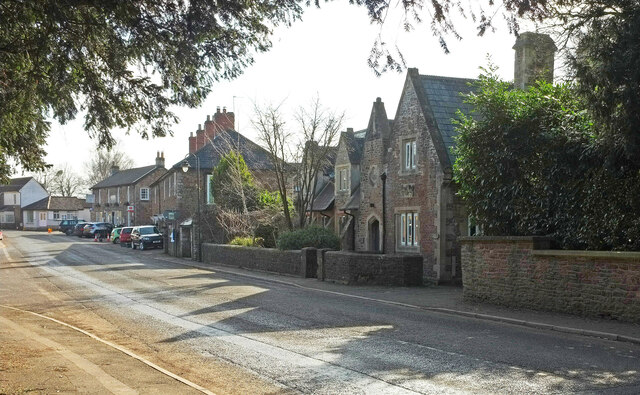
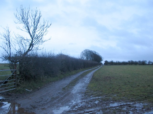
Smitham Hill is a charming village located in the county of Somerset, England. Situated in the picturesque Mendip Hills, it offers breathtaking views of the surrounding countryside and is known for its tranquil and idyllic setting. The village is situated approximately 8 miles east of the city of Wells and 16 miles south of Bristol, making it an ideal location for residents seeking a peaceful retreat while still having easy access to urban amenities.

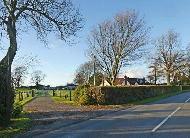
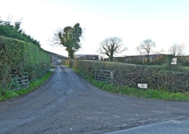
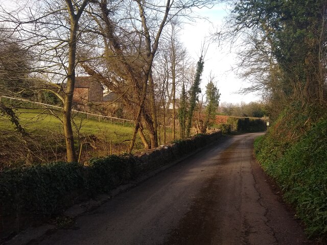
The village of Smitham Hill is characterized by its traditional English architecture, with quaint cottages and period houses lining its narrow streets. The area is rich in natural beauty, with rolling green hills, meandering streams, and dense woodlands providing ample opportunities for outdoor activities such as hiking, cycling, and horse riding.

Despite its small size, Smitham Hill boasts a close-knit community, with a village hall serving as the social hub for various events and gatherings throughout the year. The village is also home to a local pub, providing a cozy spot for residents and visitors to enjoy a drink or a meal.

The surrounding area offers a range of attractions and amenities, including historic sites such as Glastonbury Abbey and the Wells Cathedral. Additionally, the nearby city of Bristol offers a wide array of cultural, shopping, and dining options.

In summary, Smitham Hill is a charming and picturesque village nestled in the Somerset countryside. Its peaceful ambiance, stunning natural surroundings, and proximity to nearby towns and cities make it an ideal place to reside for those seeking a tranquil rural lifestyle.

If you have any feedback on the listing, please let us know in the comments section below.

Smitham Hill Images

Images are sourced within 2km of 51.291127/-2.6338408 or Grid Reference ST5554. Thanks to Geograph Open Source API. All images are credited.

East Harptree Clock Tower The Clock Tower on Church Lane in East Harptree.  The tower was built in 1897 to commemorate the Diamond Jubilee of Queen Victoria.
East Harptree Clock Tower
The Clock Tower on Church Lane in East Harptree. The tower was built in 1897 to commemorate the Diamond Jubilee of Queen Victoria.
Snowdrops on a wall Snowdrops growing on a drystone wall beside Smitham Hill, north of East Harptree.
Snowdrops on a wall
Snowdrops growing on a drystone wall beside Smitham Hill, north of East Harptree.
A368 leaving West Harptree The main road just west of the village passing the memorial hall on the left and a turn into Tilly Manor Farm on the right.
A368 leaving West Harptree
The main road just west of the village passing the memorial hall on the left and a turn into Tilly Manor Farm on the right.
Old School House, West Harptree On the A368 as it approaches the centre of the village. The school was built in 1852.
Old School House, West Harptree
On the A368 as it approaches the centre of the village. The school was built in 1852.
Houses, West Harptree A pair of semis on The Street (the A368).
Houses, West Harptree
A pair of semis on The Street (the A368).
West Harptree Beyond the two cottages is a sign for the (almost hidden) Crown Inn, with St Mary's church <a href="https://www.geograph.org.uk/photo/7112699">ST5656 : St Mary's church, West Harptree</a> visible in the background.
West Harptree
Beyond the two cottages is a sign for the (almost hidden) Crown Inn, with St Mary's church ST5656 : St Mary's church, West Harptree visible in the background.
'Lambs Lair'
'Lambs Lair'
Entrance, Vale Hollow Farm
Field at East Harptree
Old stile and wall at East Harptree
Water Street looking Northeast
Rose Cottage  Water Street looking Northeast, with Rose Cottage on the right, which was built in 1863.
Rose Cottage
Water Street looking Northeast, with Rose Cottage on the right, which was built in 1863.
Houses at Townsend
Houses at Townsend
Smitham Chimney Smitham Chimney in East Harptree Woods
Smitham Chimney
Smitham Chimney in East Harptree Woods
Overhead Pipe in Harptree Combe Comes as a bit of a surprise in the tight strip of woodland in Harptree Combe.
The pipe is an aqueduct built in 1850 as part of the first modern water supply to Bristol. It taps a number of springs in the Chewton Mendip area and delivers the water to the Barrow Reservoirs <a href="https://www.geograph.org.uk/photo/85084">ST5367 : Barrow Reservoir</a> <a href="https://www.geograph.org.uk/photo/1004867">ST5467 : Barrow Tanks</a>. The tube is of wrought iron and still in original condition.
Overhead Pipe in Harptree Combe
Comes as a bit of a surprise in the tight strip of woodland in Harptree Combe. The pipe is an aqueduct built in 1850 as part of the first modern water supply to Bristol. It taps a number of springs in the Chewton Mendip area and delivers the water to the Barrow Reservoirs ST5367 : Barrow Reservoir ST5467 : Barrow Tanks. The tube is of wrought iron and still in original condition.
Public Footpath on Niver Hill A view looking southeast along the public footpath leading to the summit of Niver Hill,  behind the hedge at right.
Public Footpath on Niver Hill
A view looking southeast along the public footpath leading to the summit of Niver Hill, behind the hedge at right.
WT Station A view looking northeast along the minor road from the Castle of Comfort public house to East Harptree, showing the wireless telegraphy station and its impressive collection of microwave dishes.
WT Station
A view looking northeast along the minor road from the Castle of Comfort public house to East Harptree, showing the wireless telegraphy station and its impressive collection of microwave dishes.
Church at East Harptree A view looking west to the church of St. Lawrence at East Harptree.
Church at East Harptree
A view looking west to the church of St. Lawrence at East Harptree.
Show me another place!

Smitham Hill is located at Grid Ref: ST5554 (Lat: 51.291127, Lng: -2.6338408)

Unitary Authority: Bath and North East Somerset

Police Authority: Avon and Somerset

What 3 Words

///appoints.excellent.shepherds. Near East Harptree, Somerset

Related Wikis

Smitham Chimney, East Harptree

Smitham Chimney is a chimney which was used for lead mining just outside the village of East Harptree, in the parish of Priddy, Somerset, England. It is...

Harptree Combe

Harptree Combe (grid reference ST561558) is a 13.63-hectare (33.68-acre) Site of Special Scientific Interest (SSSI) near East Harptree notified in 1954...

Richmont Castle

Richmont Castle was an 11th-century motte-and-bailey castle near the village of East Harptree, Somerset, England. Now totally ruined, it once included...

Church of St Laurence, East Harptree

The Church of St Laurence in East Harptree, Somerset, England, was built in the late 12th century. It is a Grade II* listed building.The original 12th...

Nearby Amenities

Located within 500m of 51.291127,-2.6338408
Barrier: kissing_gate
Lat/Long: 51.2883577/-2.6319359
Power: pole
Lat/Long: 51.2930832/-2.6367255
Power: pole
Lat/Long: 51.2936463/-2.6355709
Power: pole
Lat/Long: 51.2924425/-2.6354734
Power: pole
Lat/Long: 51.2918616/-2.6351176
Power: pole
Lat/Long: 51.2913417/-2.6348133
Power: pole
Lat/Long: 51.2930965/-2.6348555
Power: pole
Lat/Long: 51.2938822/-2.6340644
Power: pole
Lat/Long: 51.2937145/-2.6333746
Barrier: kissing_gate
Lat/Long: 51.2945926/-2.6380255
Barrier: stile
Material: wood
Stile: stepover
Lat/Long: 51.294437/-2.6370627
Power: pole
Transformer: distribution
Lat/Long: 51.294017/-2.6346285
Power: pole
Lat/Long: 51.2935714/-2.6327445
Generator Method: photovoltaic
Generator Output Electricity: yes
Generator Source: solar
Generator Type: solar_photovoltaic_panel
Location: roof
Power: generator
Lat/Long: 51.2933781/-2.6303742
Power: pole
Transformer: distribution
Lat/Long: 51.2934921/-2.6297389
Power: pole
Lat/Long: 51.2931988/-2.6288399
Power: pole
Lat/Long: 51.2930694/-2.6281887
Power: pole
Lat/Long: 51.2903695/-2.6339092
Power: pole
Lat/Long: 51.2896756/-2.6332569
Power: pole
Lat/Long: 51.2888403/-2.6324747
Power: pole
Lat/Long: 51.2880357/-2.630985
Power: pole
Lat/Long: 51.2895485/-2.6317228
Power: pole
Lat/Long: 51.2902568/-2.631048
Power: pole
Lat/Long: 51.2909781/-2.6303358
Power: pole
Lat/Long: 51.28784/-2.6300089
Grit Bin
Colour: yellow
Material: plastic
Lat/Long: 51.2908801/-2.6346474
The data included in this document is from www.openstreetmap.org. The data is made available under ODbL.

Have you been to Smitham Hill?

Leave your review of Smitham Hill below (or comments, questions and feedback).