Skimmington
Settlement in Surrey Reigate and Banstead
England
Skimmington

Skimmington is a small village located in the county of Surrey, England. Situated approximately 4 miles south of Reigate, it falls within the borough of Tandridge. The village is nestled in the heart of the picturesque North Downs, surrounded by rolling hills and verdant countryside.
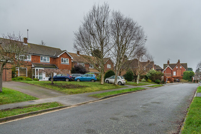
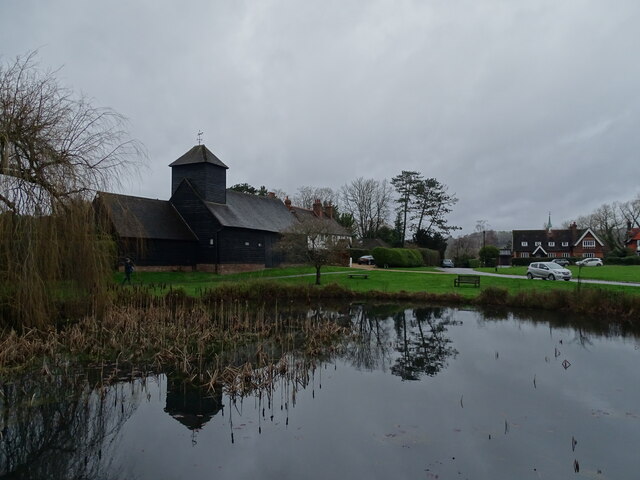
With a population of just over 500 residents, Skimmington maintains a close-knit community atmosphere. The village is characterized by its charming traditional cottages and quaint streets, lending it a timeless appeal. The area boasts a rich history, dating back several centuries, evident in the architecture and landmarks scattered throughout the village.
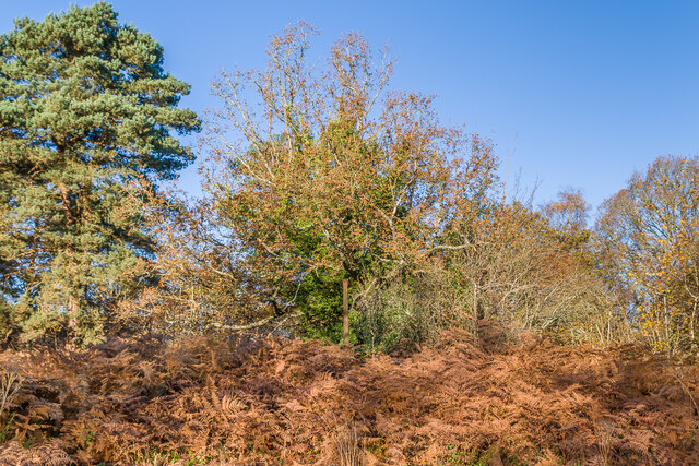
Skimmington is renowned for its natural beauty, attracting nature enthusiasts and hikers who come to explore the nearby countryside. The surrounding woodlands and trails offer stunning vistas and opportunities for outdoor activities, such as walking, cycling, and horse riding.
Despite its small size, Skimmington has a strong sense of community, with several local events and gatherings taking place throughout the year. The village pub serves as a central meeting point, where residents and visitors can enjoy a relaxing drink or a meal while soaking up the village ambiance.
Although Skimmington is primarily a residential area, it benefits from its proximity to nearby towns and cities. Reigate, with its vibrant town center and array of amenities, is easily accessible for shopping and entertainment.
In summary, Skimmington is a charming village in Surrey, offering a peaceful and idyllic setting surrounded by natural beauty. It provides an ideal retreat from the hustle and bustle of urban life while still being conveniently located near larger towns.
If you have any feedback on the listing, please let us know in the comments section below.
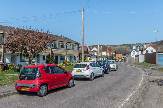
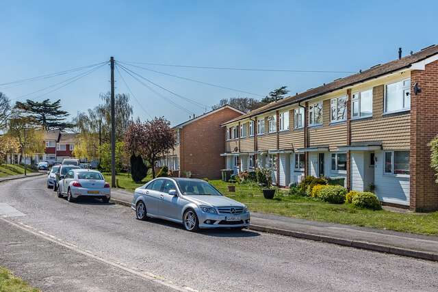
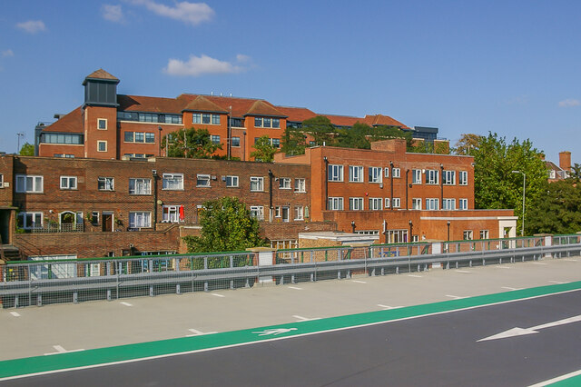
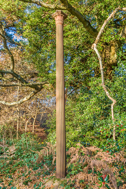
Skimmington Images
Images are sourced within 2km of 51.233419/-0.2313164 or Grid Reference TQ2349. Thanks to Geograph Open Source API. All images are credited.


Skimmington is located at Grid Ref: TQ2349 (Lat: 51.233419, Lng: -0.2313164)
Administrative County: Surrey
District: Reigate and Banstead
Police Authority: Surrey
What 3 Words
///inform.ripe.sticks. Near Reigate, Surrey
Nearby Locations
Related Wikis
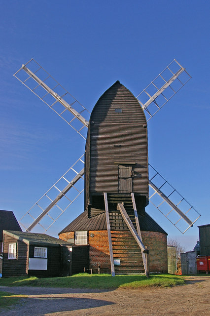
Reigate Heath Windmill
Reigate Heath Windmill is a grade II* listed post mill at Reigate Heath, Surrey, England which has been restored and is used as a chapel. It is thought...

Reigate Heath
Reigate Heath is a 61.7-hectare (152-acre) biological Site of Special Scientific Interest west of Reigate in Surrey. An area of 51.6 hectares (128 acres...

Reigate Priory F.C.
Reigate Priory Football Club is a football club based in Reigate, Surrey, England. They are currently members of the Mid-Sussex League Premiership and...

Reigate Priory Cricket Club Ground
Reigate Priory Cricket Club Ground is a cricket ground in Reigate, Surrey. The first recorded match on the ground was in 1853 when East Surrey played West...
Nearby Amenities
Located within 500m of 51.233419,-0.2313164Have you been to Skimmington?
Leave your review of Skimmington below (or comments, questions and feedback).