Shawl
Settlement in Herefordshire
England
Shawl

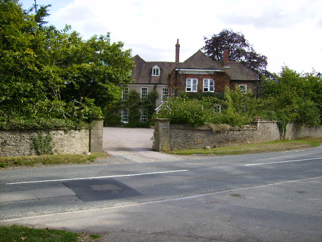
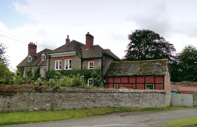
Shawl is a small village located in the county of Herefordshire, England. Nestled in the picturesque Wye Valley, this rural settlement is known for its idyllic setting and tranquil atmosphere. The village is situated approximately 5 miles southwest of the market town of Ross-on-Wye.
Shawl is characterized by its charming stone cottages, which give the village a quaint and traditional appearance. The surrounding countryside is predominantly agricultural, with rolling hills and lush green fields stretching as far as the eye can see. This makes Shawl a popular destination for nature lovers and those seeking a peaceful retreat.
Despite its small size, Shawl offers a range of amenities to its residents and visitors. The village has a local pub, which serves as a social hub for the community. There is also a village hall that hosts various events and gatherings throughout the year.
One of Shawl's notable features is its proximity to the River Wye, one of the UK's most scenic waterways. The river provides opportunities for outdoor activities such as fishing, boating, and riverside walks. The Wye Valley is also renowned for its stunning landscapes and is designated as an Area of Outstanding Natural Beauty.
Overall, Shawl offers a picturesque and tranquil escape from the hustle and bustle of city life. Its rural charm, beautiful surroundings, and community spirit make it an appealing destination for those seeking a slower pace of life in the heart of the Herefordshire countryside.
If you have any feedback on the listing, please let us know in the comments section below.
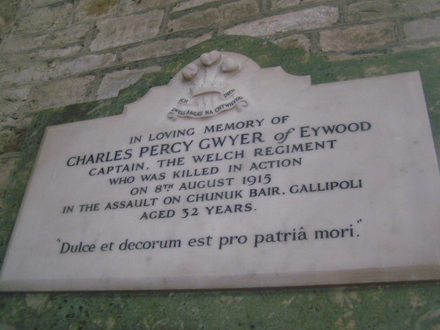
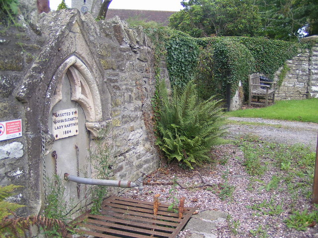
Shawl Images
Images are sourced within 2km of 52.225725/-2.9830033 or Grid Reference SO3259. Thanks to Geograph Open Source API. All images are credited.


Shawl is located at Grid Ref: SO3259 (Lat: 52.225725, Lng: -2.9830033)
Unitary Authority: County of Herefordshire
Police Authority: West Merica
What 3 Words
///torso.emailed.detective. Near Kington, Herefordshire
Nearby Locations
Related Wikis

Titley Pool
Titley Pool is a lake in Herefordshire, England. It is situated at Titley, 3 kilometres (1.9 mi) north west of the town of Kington. It is a naturally...
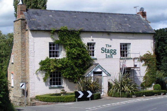
The Stagg Inn
The Stagg Inn is a restaurant located in Titley, Herefordshire, England. As of 2015, the restaurant holds one star in the Michelin Guide. The Stagg was...
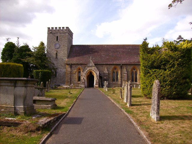
Titley, Herefordshire
Titley is a village and civil parish in Herefordshire, England. It lies on the B4355 between Kington and Presteigne. In the 2001 census the parish had...
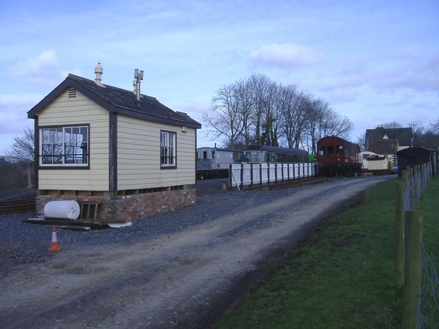
Titley Junction railway station
Titley Junction railway station was a station in Titley, Herefordshire, England. The station was located nearly two miles south of Titley village. The...
Titley Priory
Titley Priory was a priory near Titley in Herefordshire, England at grid reference SO32966011. == References ==
Forge Crossing Halt railway station
Forge Crossing Halt railway station was a station in Titley, Herefordshire, England. The station, on the Presteigne Branch Line of the Leominster and Kington...
Rushock, Herefordshire
Rushock is a small village in Herefordshire, England. It lies about 1 mile north-east of Kington. The population of the civil parish was 131 at the 2011...
Penrhos, Herefordshire
Penrhos is an area or hamlet at the top of the hill east of Kington, Herefordshire near the Welsh border. The name is derived from the Welsh words pen...
Related Videos
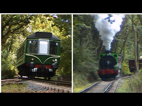
Titley Junction, Private Railway Herefordshire
Something a bit different from my channel, in September 2006 an open day was arranged at Titley Junction private railway in ...
Nearby Amenities
Located within 500m of 52.225725,-2.9830033Have you been to Shawl?
Leave your review of Shawl below (or comments, questions and feedback).