Matlock Bridge
Settlement in Derbyshire Derbyshire Dales
England
Matlock Bridge

Matlock Bridge is a picturesque village located in the county of Derbyshire, in the East Midlands region of England. Situated on the banks of the River Derwent, it is nestled in the heart of the beautiful Peak District National Park.
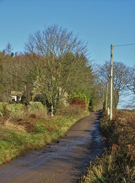
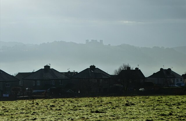
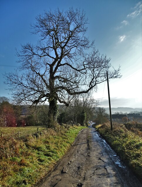
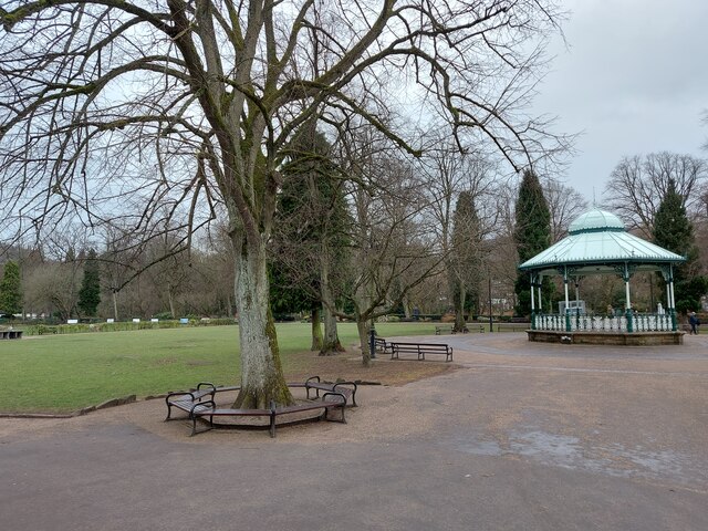
The village is renowned for its stunning natural scenery, with rolling hills, lush green fields, and the tranquil river providing a peaceful and idyllic setting. Matlock Bridge is a popular destination for outdoor enthusiasts, offering a multitude of walking and hiking trails that showcase the area's natural wonders.
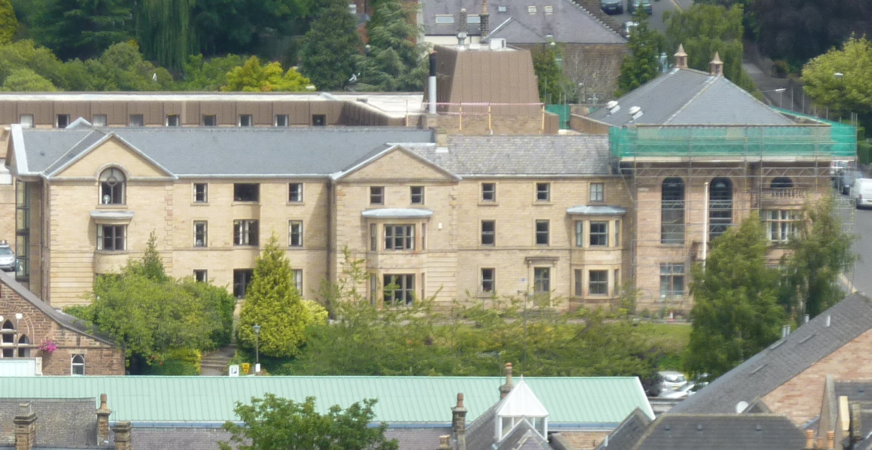
Historically, Matlock Bridge was a significant industrial hub during the 18th and 19th centuries. The village was a thriving center for cotton mills and textile production, taking advantage of the fast-flowing river to power the machinery. Today, remnants of this industrial past can still be seen in the form of old mill buildings and ancient weirs.
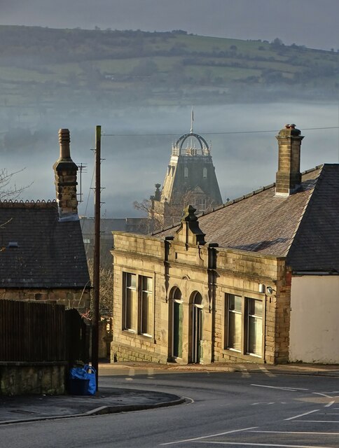
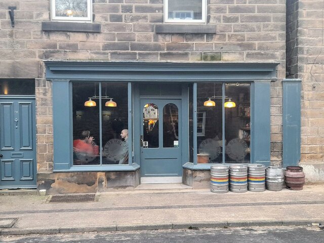
The village itself is characterized by its charming stone buildings, many of which date back to the Victorian era. The main street is lined with a variety of independent shops, cafes, and traditional pubs, offering a warm and welcoming atmosphere to both residents and visitors alike.
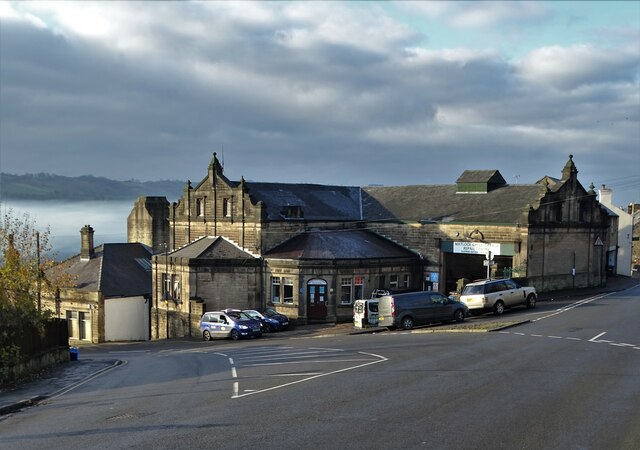
For those seeking cultural enrichment, Matlock Bridge is home to several notable landmarks, including the grand Victorian railway station and the iconic Smedley's Hydro, a former hydrotherapy spa. The village is also a gateway to the wider attractions of the Peak District, with nearby attractions such as the Heights of Abraham cable car and the famous Chatsworth House.
Overall, Matlock Bridge is a hidden gem within Derbyshire, offering a unique blend of natural beauty, rich history, and a warm community spirit. It is a destination that captivates visitors with its charm and leaves a lasting impression.
If you have any feedback on the listing, please let us know in the comments section below.
Matlock Bridge Images
Images are sourced within 2km of 53.137216/-1.557501 or Grid Reference SK2960. Thanks to Geograph Open Source API. All images are credited.


Matlock Bridge is located at Grid Ref: SK2960 (Lat: 53.137216, Lng: -1.557501)
Administrative County: Derbyshire
District: Derbyshire Dales
Police Authority: Derbyshire
What 3 Words
///tomorrow.ruffling.daffodils. Near Matlock, Derbyshire
Nearby Locations
Related Wikis

Matlock Bridge
Matlock Bridge also known as Derwent Bridge, is a stone bridge spanning the River Derwent in Matlock town centre, Derbyshire, England. The bridge dates...
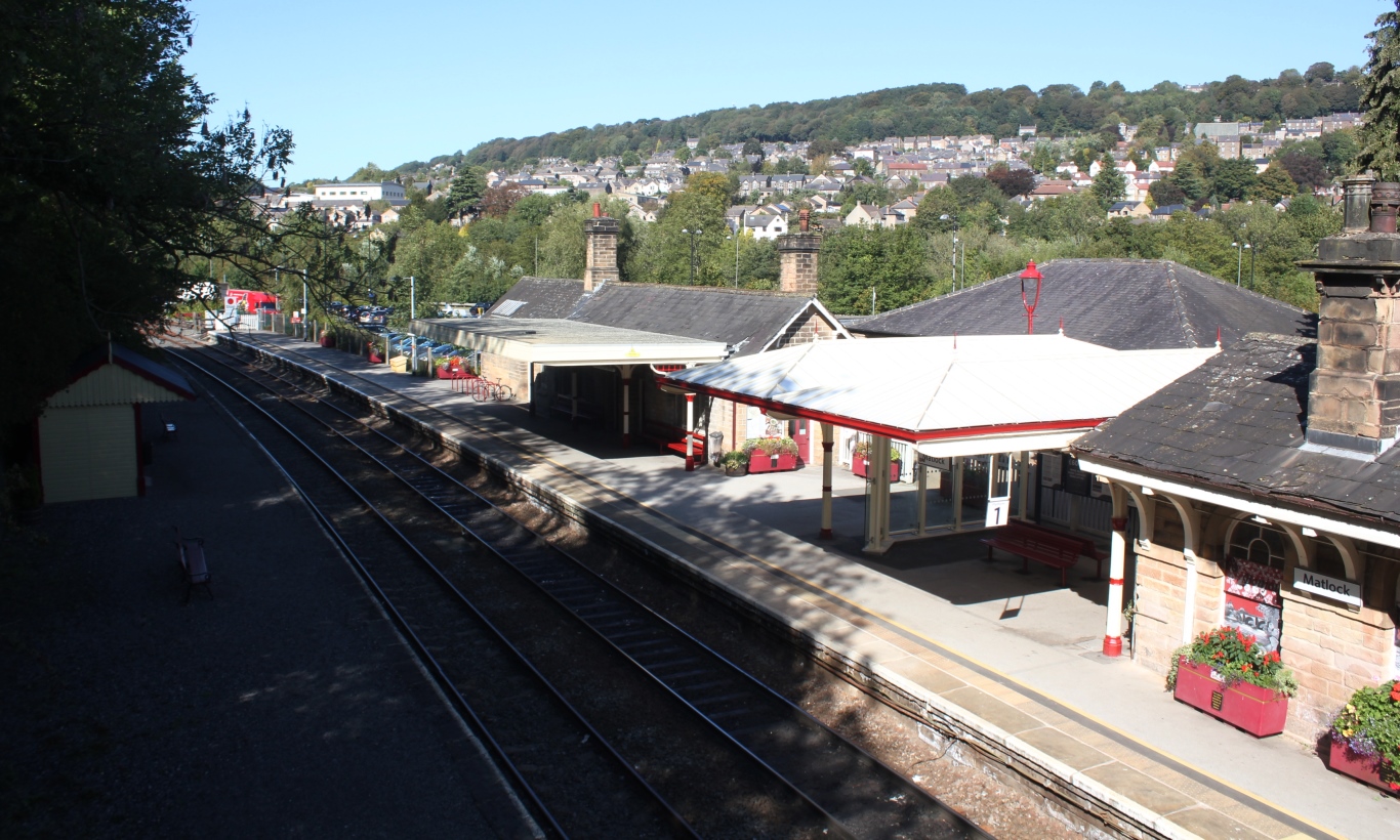
Matlock railway station
Matlock railway station is owned by Network Rail and managed by East Midlands Railway; it serves the Derbyshire Dales county town of Matlock, Derbyshire...

Pic Tor War Memorial
Pic Tor War Memorial is a 20th-century grade II listed war memorial in Matlock, Derbyshire. == History == The memorial stands on a limestone outcrop known...
Matlock Town Hall
Matlock Town Hall is a municipal building in Bank Road, Matlock, Derbyshire, England. The building is now used as the offices of Derbyshire Dales District...
Nearby Amenities
Located within 500m of 53.137216,-1.557501Have you been to Matlock Bridge?
Leave your review of Matlock Bridge below (or comments, questions and feedback).