Dimple
Settlement in Derbyshire Derbyshire Dales
England
Dimple
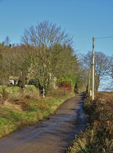
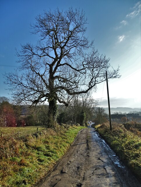
Dimple is a small village located in the Derbyshire Dales district of Derbyshire, England. Situated approximately 4 miles west of the market town of Matlock, it is nestled within the beautiful Peak District National Park.
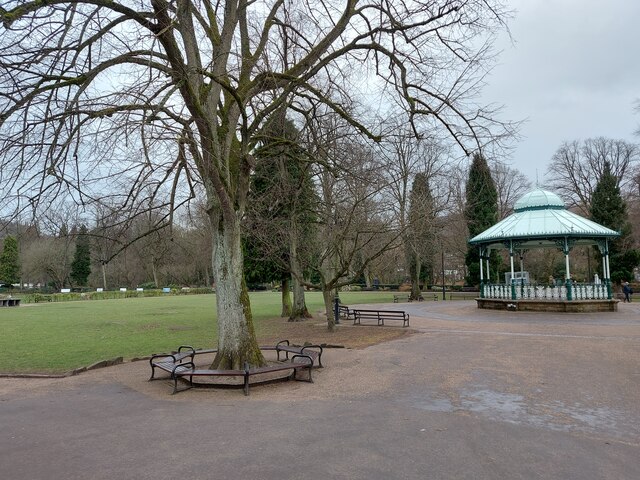
The village is known for its picturesque setting, surrounded by rolling hills, lush green fields, and dense woodlands. It benefits from being surrounded by stunning natural landscapes, making it an attractive destination for outdoor enthusiasts and nature lovers.
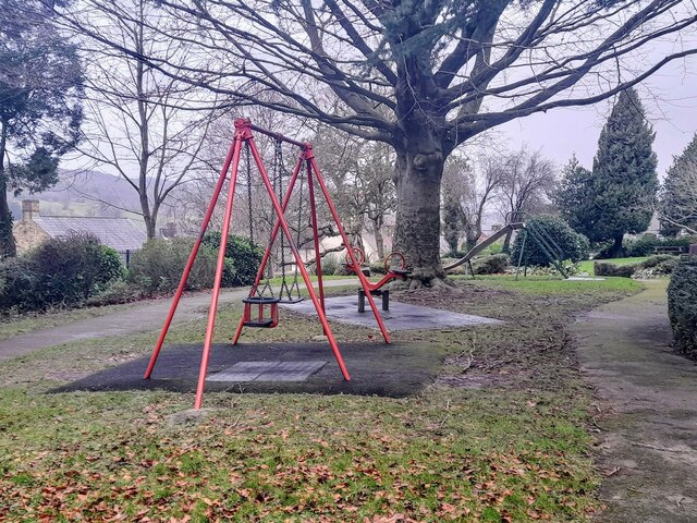
Dimple is a quiet and peaceful village with a close-knit community. The locals are known for their friendliness and welcoming nature, making visitors feel right at home. The village has a strong sense of community spirit, with regular social events and gatherings organized throughout the year.
The architecture in Dimple is predominantly traditional, with many stone-built houses and cottages dating back to the 18th and 19th centuries. The village has retained much of its historic charm and character.
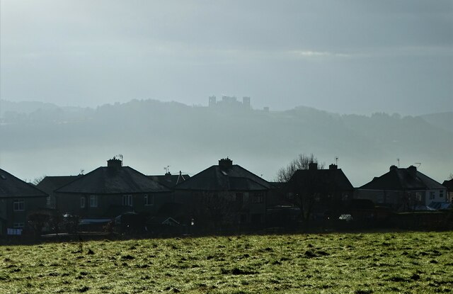
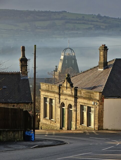
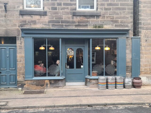
Although small in size, Dimple offers a range of amenities for its residents and visitors. There is a local pub, a village hall, and a small convenience store that caters to basic needs. For a wider range of facilities and services, the nearby towns of Matlock and Bakewell are easily accessible.
Overall, Dimple provides a tranquil and idyllic setting for those seeking an escape from the hustle and bustle of city life. With its natural beauty, friendly atmosphere, and sense of community, it is a hidden gem within the Derbyshire countryside.
If you have any feedback on the listing, please let us know in the comments section below.
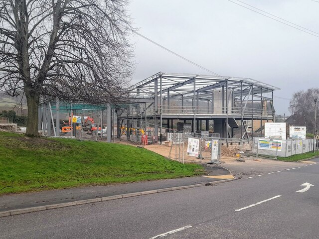
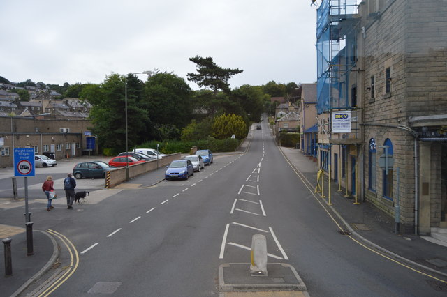
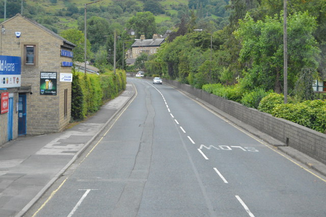
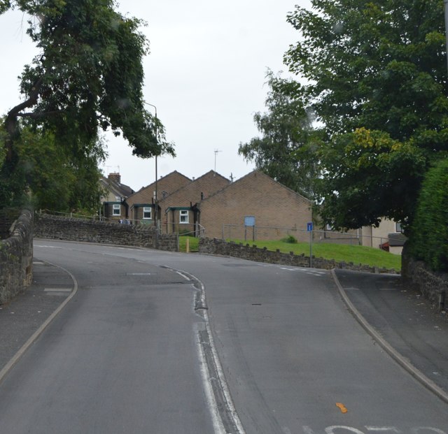
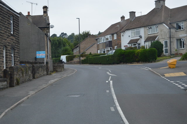
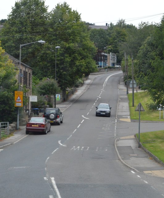
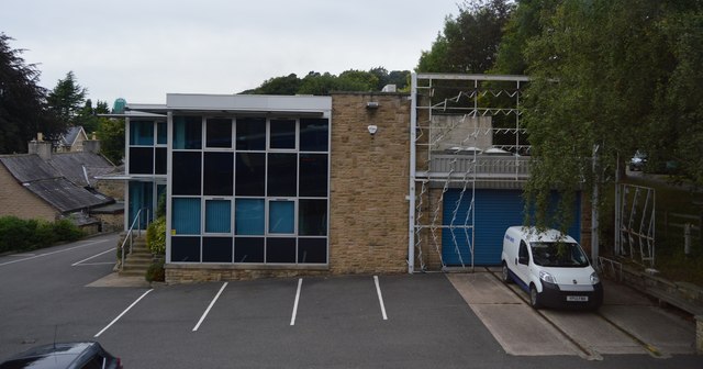
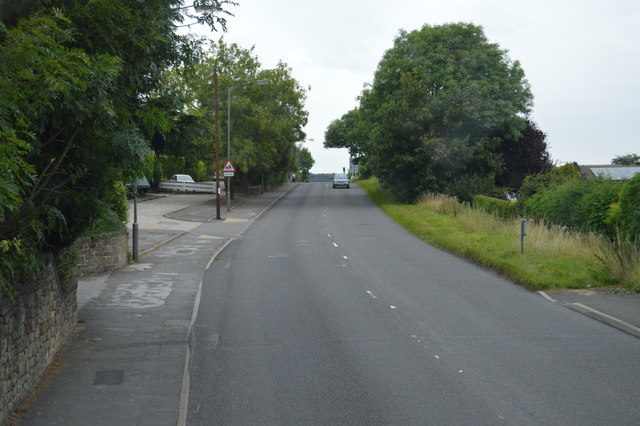
Dimple Images
Images are sourced within 2km of 53.140822/-1.560454 or Grid Reference SK2960. Thanks to Geograph Open Source API. All images are credited.


Dimple is located at Grid Ref: SK2960 (Lat: 53.140822, Lng: -1.560454)
Administrative County: Derbyshire
District: Derbyshire Dales
Police Authority: Derbyshire
What 3 Words
///spirits.keen.stung. Near Matlock, Derbyshire
Nearby Locations
Related Wikis
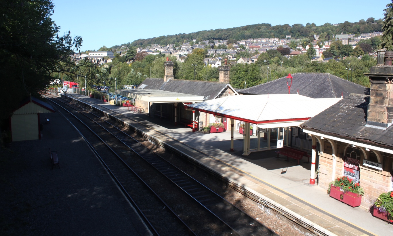
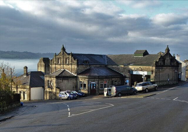
Matlock railway station
Matlock railway station is owned by Network Rail and managed by East Midlands Railway; it serves the Derbyshire Dales county town of Matlock, Derbyshire...

Cawdor Quarry
Cawdor Quarry is a disused quarry in Matlock, Derbyshire. Much of it is designated as a Site of Special Scientific Interest.Within the SSSI the quarry...
Matlock Town Hall
Matlock Town Hall is a municipal building in Bank Road, Matlock, Derbyshire, England. The building is now used as the offices of Derbyshire Dales District...

Matlock Bridge
Matlock Bridge also known as Derwent Bridge, is a stone bridge spanning the River Derwent in Matlock town centre, Derbyshire, England. The bridge dates...
Nearby Amenities
Located within 500m of 53.140822,-1.560454Have you been to Dimple?
Leave your review of Dimple below (or comments, questions and feedback).