Scotsburn
Settlement in Ross-shire
Scotland
Scotsburn
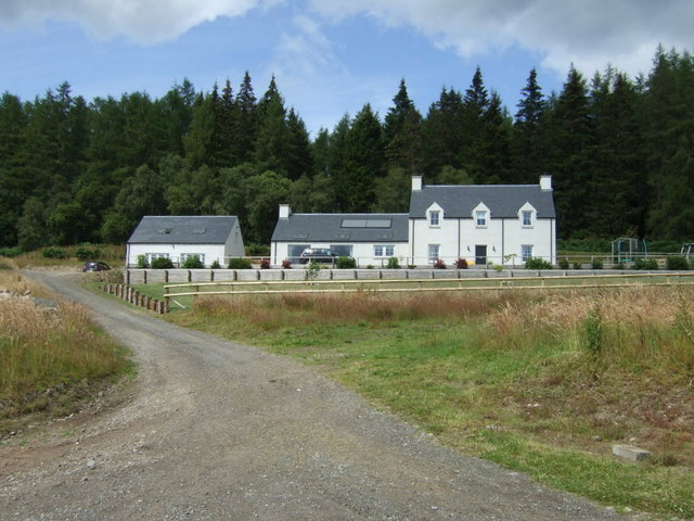
Scotsburn is a small village located in Ross-shire, a county in the Highlands of Scotland. Situated approximately 10 miles northwest of the town of Dingwall, Scotsburn lies in a picturesque rural setting with stunning views of the surrounding countryside.
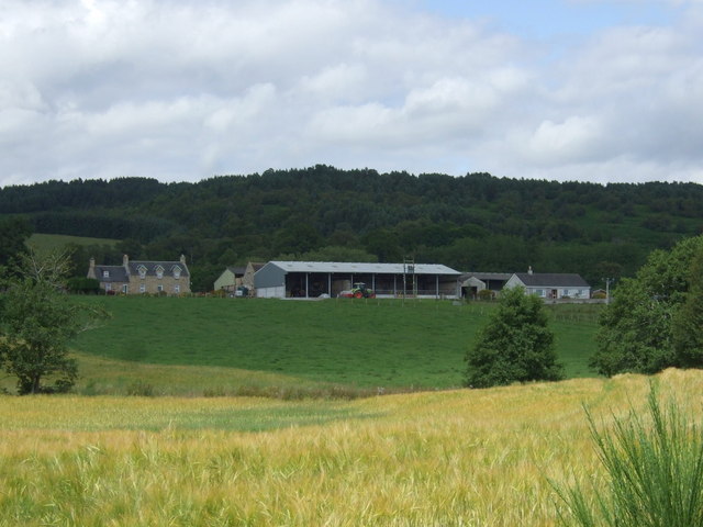
The village itself is characterized by its charming and traditional Scottish architecture, with many stone-built houses and cottages dotting the landscape. The population of Scotsburn is relatively small, with around 200 residents, fostering a tight-knit and friendly community.
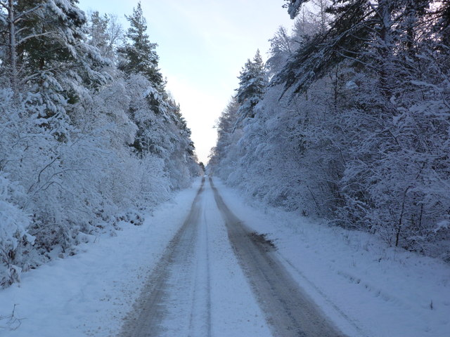
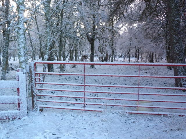
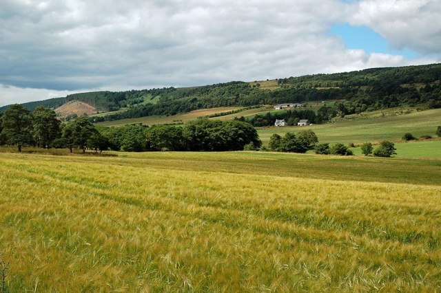
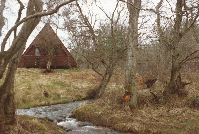
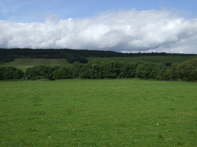
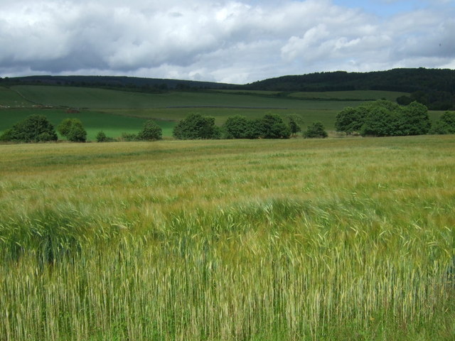
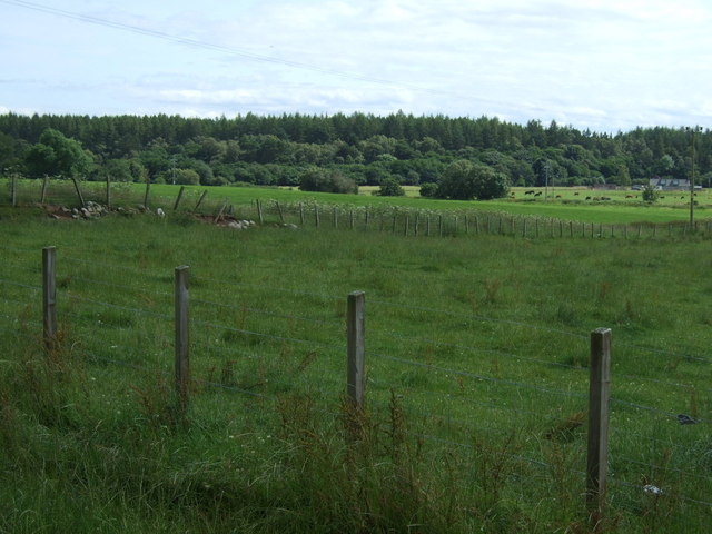
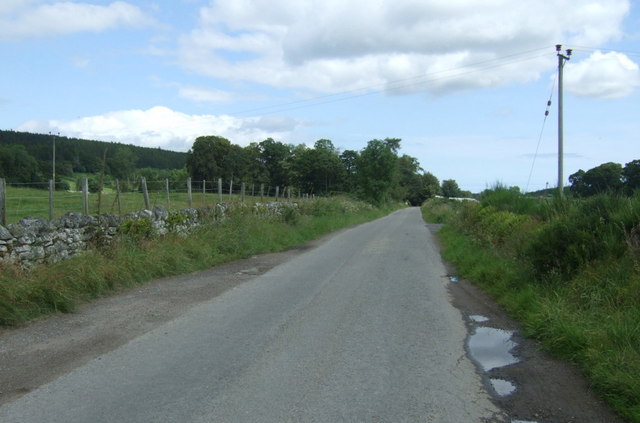
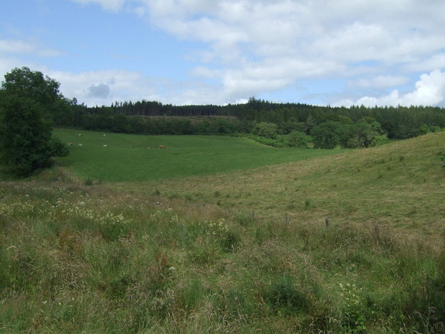
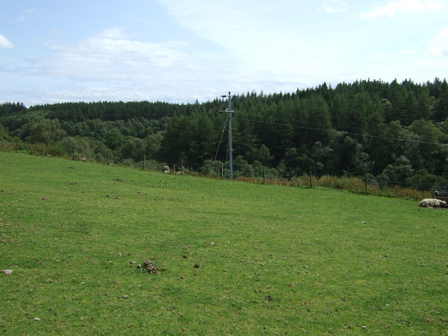
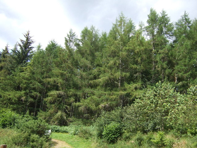
Scotsburn enjoys a peaceful and tranquil atmosphere, making it an ideal place for those seeking a slower pace of life away from the hustle and bustle of larger towns or cities. The village is surrounded by rolling hills, lush green fields, and serene forests, offering ample opportunities for outdoor activities such as hiking, cycling, and wildlife spotting.
Despite its small size, Scotsburn caters to the everyday needs of its residents. There is a local convenience store where villagers can find essential groceries, and a few small businesses and workshops that provide various services. For more extensive shopping and amenities, residents can easily access Dingwall or other nearby towns.
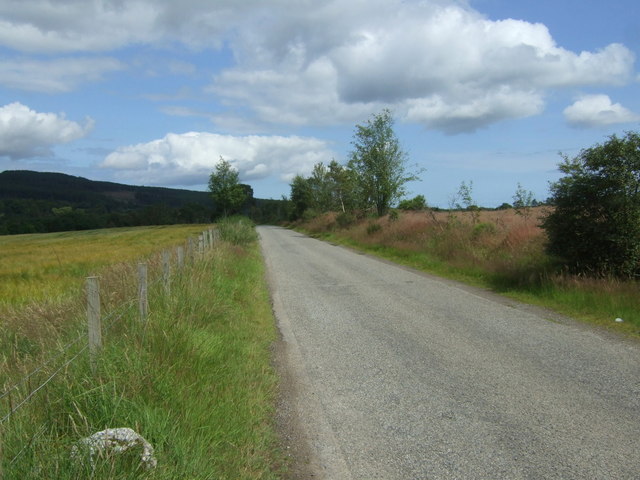
The village is well-connected to the rest of Ross-shire and beyond, with regular bus services running to Dingwall and other nearby towns. The nearby A835 road provides quick access to major routes, allowing for convenient travel to Inverness, the regional capital, and other parts of the Highlands.
Overall, Scotsburn is a charming and idyllic village that offers a peaceful and picturesque lifestyle amidst the stunning Scottish countryside.
If you have any feedback on the listing, please let us know in the comments section below.
Scotsburn Images
Images are sourced within 2km of 57.755533/-4.1447996 or Grid Reference NH7276. Thanks to Geograph Open Source API. All images are credited.


Scotsburn is located at Grid Ref: NH7276 (Lat: 57.755533, Lng: -4.1447996)
Unitary Authority: Highland
Police Authority: Highlands and Islands
What 3 Words
///pegs.forgiving.attends. Near Invergordon, Highland
Nearby Locations
Related Wikis

Lamington, Highland
Lamington is a village, which sits in the southern edges of the Morangie forest in Eastern Ross-shire, Scottish Highlands and is in the Scottish council...

Balnagown Castle
Balnagown Castle (also Balnagowan)(Ross Castle) is beside the village of Kildary in Easter Ross, part of the Highland area of Scotland. There has been...
Delny
Delny (Scottish Gaelic: Deilgnidh) is a small hamlet in the parish of Kilmuir-Easter in Ross-shire, Scotland. It was the site of a castle, that was once...
Inchindown oil tanks
The Inchindown oil tanks is a disused underground oil depot in Invergordon, Ross-shire, Scotland. The tanks hold the record for the longest reverberation...

Delny railway station
Delny railway station served the hamlet of Delny, Ross-shire, Scotland from 1864 to 1964 on the Inverness and Ross-shire Railway. == History == The station...
Kilmuir, Easter Ross
Kilmuir is a former fishing village, located on the north eastern shore of Nigg Bay, one mile (1.5 kilometres) southeast of Kildary and four miles (six...
Kildary railway station
Kildary railway station served the village of Kildary, Highland, Scotland from 1864 to 1960 on the Inverness and Ross-shire Railway. == History == The...
Milton, Easter Ross
Milton (Scottish Gaelic: Baile Mhuilinn Anndra), known as Milntown of Tarbat until the early 1970s, is a small Easter Ross community between Kildary and...
Nearby Amenities
Located within 500m of 57.755533,-4.1447996Have you been to Scotsburn?
Leave your review of Scotsburn below (or comments, questions and feedback).