Scotia Drift

Settlement in Suffolk East Suffolk

England

Scotia Drift

Blythburgh station. Restored Southwold railway shed The last existing Southwold Railway building, after its 2020 restoration by volunteers from Halesworth to Southwold Narrow Gauge Railway Society
Blythburgh station. Restored Southwold railway shed Credit: Tim Royall

Scotia Drift is a small village located in the county of Suffolk, England. Situated in the East Anglia region, it is nestled amidst picturesque countryside, offering a tranquil and idyllic setting for residents and visitors alike.

The village is characterized by its charming rural architecture, with a mix of traditional cottages and modern residences. The community in Scotia Drift is tight-knit, fostering a welcoming and friendly atmosphere. Residents take pride in their village and actively engage in activities that promote a sense of togetherness.

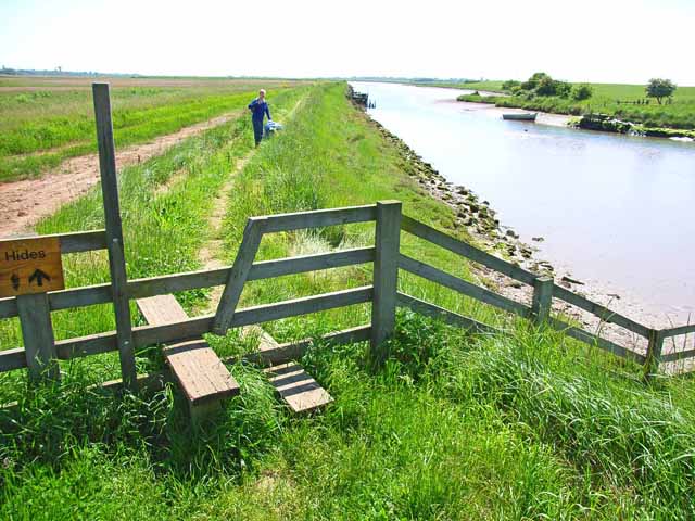
Nature enthusiasts will find themselves captivated by the surrounding scenery. The village is surrounded by rolling green hills, dotted with grazing livestock and vibrant wildflowers. The nearby countryside provides ample opportunities for leisurely walks, cycling, and horse riding. Additionally, Scotia Drift boasts easy access to the Suffolk Coast and Heaths Area of Outstanding Natural Beauty, offering stunning coastal landscapes and diverse wildlife.

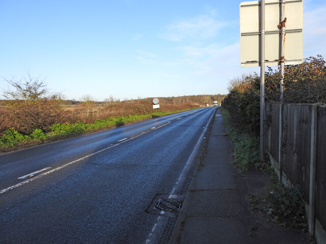
Although primarily a residential area, Scotia Drift benefits from its proximity to larger towns and cities. The market town of Ipswich is approximately 15 miles away, providing a range of amenities, including shopping centers, restaurants, and cultural attractions. In addition, the village is well-connected by road, making it convenient for commuters.

Overall, Scotia Drift offers a lifestyle that combines the tranquility of rural living with the convenience of nearby urban centers. Its natural beauty, community spirit, and accessible location make it an appealing place to live or explore for those seeking a peaceful retreat in the heart of Suffolk.

If you have any feedback on the listing, please let us know in the comments section below.
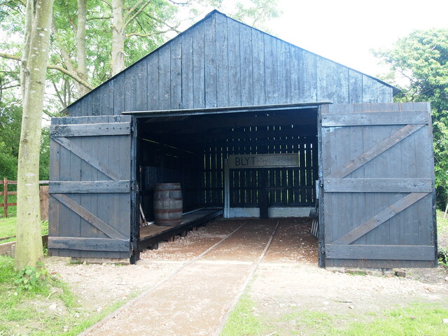
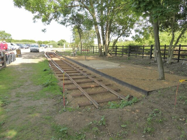
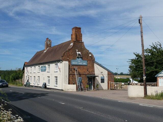
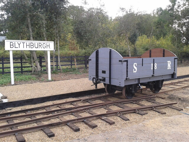
Scotia Drift Images

Images are sourced within 2km of 52.337362/1.6106867 or Grid Reference TM4677. Thanks to Geograph Open Source API. All images are credited.

Blythburgh station. Restored Southwold railway shed The last existing Southwold Railway building, after its 2020 restoration by volunteers from Halesworth to Southwold Narrow Gauge Railway Society
Blythburgh station. Restored Southwold railway shed
The last existing Southwold Railway building, after its 2020 restoration by volunteers from Halesworth to Southwold Narrow Gauge Railway Society
Site of Blythburgh Railway Station The Southwold Railway was a narrow (3-foot) gauge line from Halesworth to Southwold which operated from 1879 to 1929. The Halesworth to Southwold Narrow Gauge Railway Society is committed to preserving and restoring as much of the original railway as possible. This image was taken on a society open day and     shows a token length of relaid track at the site of the old Blythburgh Station.
Site of Blythburgh Railway Station
The Southwold Railway was a narrow (3-foot) gauge line from Halesworth to Southwold which operated from 1879 to 1929. The Halesworth to Southwold Narrow Gauge Railway Society is committed to preserving and restoring as much of the original railway as possible. This image was taken on a society open day and shows a token length of relaid track at the site of the old Blythburgh Station.
The White Hart Inn Beside the A12 close to Blythburgh Bridge, the White Hart Inn dates back to the 16th Century. .
The White Hart Inn
Beside the A12 close to Blythburgh Bridge, the White Hart Inn dates back to the 16th Century. .
Southwold railway wagon A replica SR wagon, built by HSNGRS volunteers. Placed on the relaid mainline, beside the platform, adjacent to the running in board at Blythburgh station. Station restoration being undertaken by HSNGRS volunteers.
Southwold railway wagon
A replica SR wagon, built by HSNGRS volunteers. Placed on the relaid mainline, beside the platform, adjacent to the running in board at Blythburgh station. Station restoration being undertaken by HSNGRS volunteers.
Frosty morning on Blythburgh station Saturday 10/12/22 a frosty start to a volunteer's morning.
Looking down the line to the west, from behind the buffer stop.
Frosty morning on Blythburgh station
Saturday 10/12/22 a frosty start to a volunteer's morning. Looking down the line to the west, from behind the buffer stop.
Reconstruction of Blythburgh station in progress Southwold Railway used to run from Southwold to Halesworth and this is the nearest station to the midpoint.
The derelict goods shed <a title="https://www.geograph.org.uk/photo/1774990" href="https://www.geograph.org.uk/photo/1774990">Link</a> has been rebuilt. The foundation for the station building is in place and the station platform sign has been erected. 
<span class="nowrap"><a title="https://en.wikipedia.org/wiki/Blythburgh_railway_station#/media/File:Blythburgh_railway_station_(postcard).JPG" rel="nofollow ugc noopener" href="https://en.wikipedia.org/wiki/Blythburgh_railway_station#/media/File:Blythburgh_railway_station_(postcard).JPG">Link</a><img style="margin-left:2px;" alt="External link" title="External link - shift click to open in new window" src="https://s1.geograph.org.uk/img/external.png" width="10" height="10"/></span>
Reconstruction of Blythburgh station in progress
Southwold Railway used to run from Southwold to Halesworth and this is the nearest station to the midpoint. The derelict goods shed Link has been rebuilt. The foundation for the station building is in place and the station platform sign has been erected. LinkExternal link
The rebuilt goods shed at Blythburgh station The shed was rebuilt as part of the preliminary work when the work began on the reconstruction of the station.
The rebuilt goods shed at Blythburgh station
The shed was rebuilt as part of the preliminary work when the work began on the reconstruction of the station.
New track at Blythburgh station The low platform is completed the base for the station building is just out of sight to the left, and the rails are in the process of being laid in the original configuration.
The work is being carried out and financed by the Halesworth to Southwold Railway Society members, in conjunction with the Blois Estate and Blythburgh parish council. See the notice board for more details. <a href="https://www.geograph.org.uk/photo/7377406">TM4575 : Notice and information board</a>
New track at Blythburgh station
The low platform is completed the base for the station building is just out of sight to the left, and the rails are in the process of being laid in the original configuration. The work is being carried out and financed by the Halesworth to Southwold Railway Society members, in conjunction with the Blois Estate and Blythburgh parish council. See the notice board for more details. TM4575 : Notice and information board
Notice and information board A little out of date but informative non-the-less.
Notice and information board
A little out of date but informative non-the-less.
Bounding the remains of the Blythburgh Priory Leaving Blythburgh station heading towards Wenhaston skirting marshland which is liable to flooding on the south bank of the river. 
Blythburgh Priory was a medieval monastic house of Augustinian canons, dedicated to the Blessed Virgin Mary, located in the village of Blythburgh in Suffolk, England. Founded in the early 12th century, it was among the first Augustinian houses in England and began as a cell of St Osyth's Priory in Essex
Bounding the remains of the Blythburgh Priory
Leaving Blythburgh station heading towards Wenhaston skirting marshland which is liable to flooding on the south bank of the river. Blythburgh Priory was a medieval monastic house of Augustinian canons, dedicated to the Blessed Virgin Mary, located in the village of Blythburgh in Suffolk, England. Founded in the early 12th century, it was among the first Augustinian houses in England and began as a cell of St Osyth's Priory in Essex
Skirting Angel Marshes For a photographic journey from Southwold to Halesworth visit <a title="https://www.geograph.org.uk/article/The-former-Southwold-to-Halesworth-railway" href="https://www.geograph.org.uk/article/The-former-Southwold-to-Halesworth-railway">Link</a>
Skirting Angel Marshes
For a photographic journey from Southwold to Halesworth visit Link
The 5 mile mile post was close to here Coincidentally a notice has been pinned to a post in the close proximity to where the 5 mile (from Halesworth) mile post was located.
The 5 mile mile post was close to here
Coincidentally a notice has been pinned to a post in the close proximity to where the 5 mile (from Halesworth) mile post was located.
Remnants of a sleeper across the path One of the original sleepers of the former narrow gauge (3 ft) Southwold Railway
Remnants of a sleeper across the path
One of the original sleepers of the former narrow gauge (3 ft) Southwold Railway
A small section of original rail All the rails were taken up during WW2 for the war effort but this section remains because a gun emplacement was built over it. The emplacement was removed shortly after the war leaving a hump in the path, but the sections of line remain.
A small section of original rail
All the rails were taken up during WW2 for the war effort but this section remains because a gun emplacement was built over it. The emplacement was removed shortly after the war leaving a hump in the path, but the sections of line remain.
Information board at Blythburgh station The board explains the current work being undertaken by the Halesworth to Southwold Narrow Gauge Railway Society and the involvement from The Blois estate, on which much of the original railway once meandered.
Old photographs illustrate some of the rolling stock and buildings.
Information board at Blythburgh station
The board explains the current work being undertaken by the Halesworth to Southwold Narrow Gauge Railway Society and the involvement from The Blois estate, on which much of the original railway once meandered. Old photographs illustrate some of the rolling stock and buildings.
The former location of the bridge over the railway The railway line ran the other side of the clearway sign and directly into Blythburgh station <a href="https://www.geograph.org.uk/photo/7377391">TM4575 : Reconstruction of Blythburgh station in progress</a> 
The bridge was designated #11, was a girder bridge with brick abutments having a 29 foot span over the railway, carrying what was at the time known as the Yarmouth Turnpike, since renamed the A12.
Originally described as a humpback bridge it was built over the Southwold railway in 1879 and rebuilt in 1907 with a wider span to facilitate the proposed second railway track, which never materialised.
The former location of the bridge over the railway
The railway line ran the other side of the clearway sign and directly into Blythburgh station TM4575 : Reconstruction of Blythburgh station in progress The bridge was designated #11, was a girder bridge with brick abutments having a 29 foot span over the railway, carrying what was at the time known as the Yarmouth Turnpike, since renamed the A12. Originally described as a humpback bridge it was built over the Southwold railway in 1879 and rebuilt in 1907 with a wider span to facilitate the proposed second railway track, which never materialised.
Serpentine wall at Henham Park This is the westernmost wall of the four walls which form the boundary of the Henham Hall walled garden, its length, extending to 120 yards or 110 metres. There is one segmental-arched doorway built into the southern half of the wall. The other three walls are of the normal variety each having wide access gates and enclose a total of about three and one third acres.
Built in the late 18th and early 19th century of red brick with brick copings, and amounting to about 3.5m. high. It is listed as a grade II building. 
My grateful thanks to Hektor Rous for allowing me access.
Serpentine wall at Henham Park
This is the westernmost wall of the four walls which form the boundary of the Henham Hall walled garden, its length, extending to 120 yards or 110 metres. There is one segmental-arched doorway built into the southern half of the wall. The other three walls are of the normal variety each having wide access gates and enclose a total of about three and one third acres. Built in the late 18th and early 19th century of red brick with brick copings, and amounting to about 3.5m. high. It is listed as a grade II building. My grateful thanks to Hektor Rous for allowing me access.
A short length of serpentine wall on Henham Park The wall is close to, but not part of the 120 yards or 110 metre length of garden wall. <a href="https://www.geograph.org.uk/photo/7472571">TM4478 : Serpentine wall at Henham Park</a>
A short length of serpentine wall on Henham Park
The wall is close to, but not part of the 120 yards or 110 metre length of garden wall. TM4478 : Serpentine wall at Henham Park
Show me another place!

Scotia Drift is located at Grid Ref: TM4677 (Lat: 52.337362, Lng: 1.6106867)

Administrative County: Suffolk

District: East Suffolk

Police Authority: Suffolk

What 3 Words

///pointed.decoded.dislodge. Near Southwold, Suffolk

Related Wikis

Latitude Festival

Latitude Festival is an annual music and arts festival set within the grounds of Henham Park, near Southwold, Suffolk, England.The first edition of the...

Henham Park

Henham Park is an historic 4,200 acres (1,700 ha) estate in the parish of Wangford with Henham, situated north of the village of Blythburgh in the English...

Hen Reedbeds

Hen Reedbeds is a 55 hectare nature reserve near the North Sea coast of the English county of Suffolk. The reserve is located in the Blyth valley between...

Grand Henham Steam Rally

The Grand Henham Steam Rally is a steam rally held every September at Henham Park near Southwold. It features displays of fixed and mobile steam engines...

Nearby Amenities

Located within 500m of 52.337362,1.6106867
Henham Park
Naptan AtcoCode: 390061103
Naptan Bearing: N
Naptan BusStopType: CUS
Naptan CommonName: Henham Park
Naptan Indicator: o/s
Naptan Landmark: Henham Park
Naptan NaptanCode: sufjpwdm
Naptan Street: A12
Naptan Verified: no
Source: naptan_import
Wikidata: Q5714379
Wikipedia: en:Henham Park
Lat/Long: 52.3351362/1.6054971
The data included in this document is from www.openstreetmap.org. The data is made available under ODbL.

Have you been to Scotia Drift?

Leave your review of Scotia Drift below (or comments, questions and feedback).