Rhodiad-y-Brenin

Settlement in Pembrokeshire

Wales

Rhodiad-y-Brenin

Carnedd Lleithr A view of Carnedd Lleithr which forms part of the headland of St David's Head, the headland is in the care of the National Trust.
Carnedd Lleithr Credit: Chris McAuley

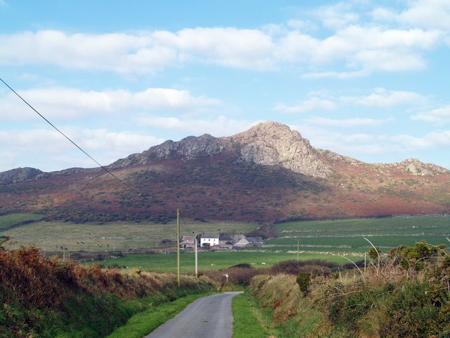
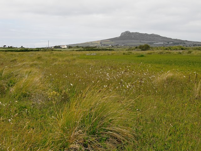
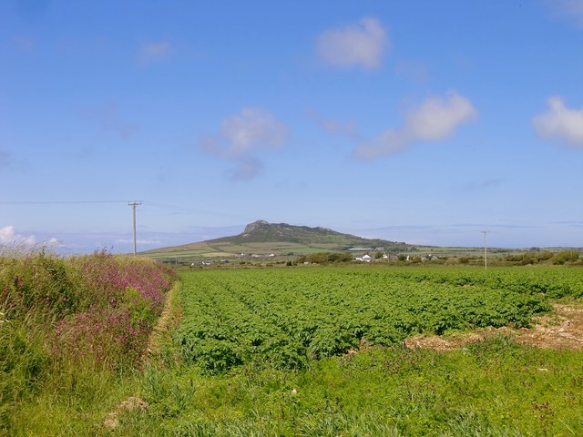
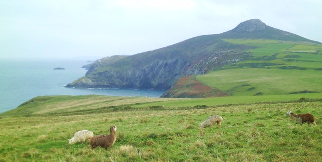
Rhodiad-y-Brenin is a small coastal village located in the county of Pembrokeshire, Wales. Situated on the southwestern tip of the country, the village offers stunning views of the surrounding countryside and the Irish Sea. It is situated approximately 15 miles west of the county town, Haverfordwest.

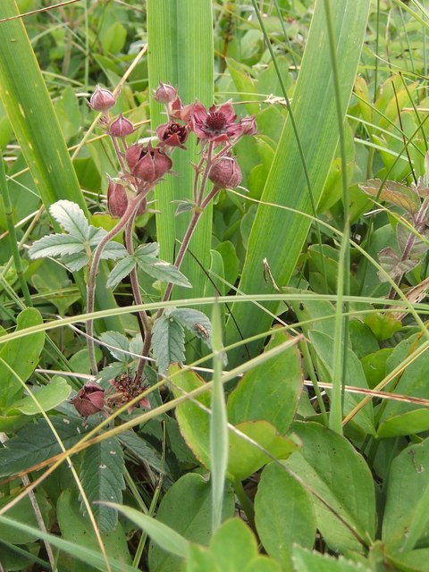
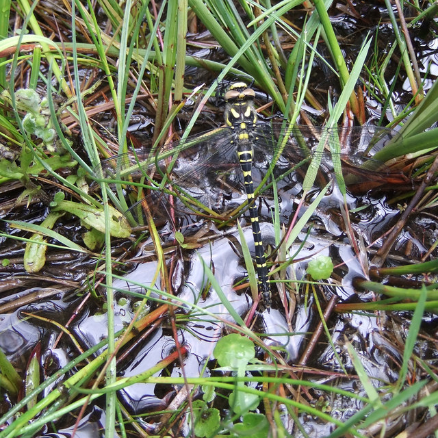
The village is known for its beautiful sandy beach, which stretches for about a mile along the coast. The beach is popular with both locals and tourists, offering opportunities for swimming, sunbathing, and water sports like surfing and kayaking. The area is also home to a diverse range of wildlife, including seals and dolphins, which can often be spotted off the coast.

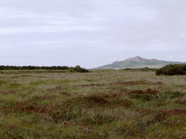
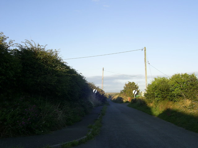
Rhodiad-y-Brenin is surrounded by picturesque countryside, making it a popular destination for hikers and nature enthusiasts. The nearby Pembrokeshire Coast Path, a long-distance walking trail, offers breathtaking views of the rugged coastline and is a great way to explore the area.

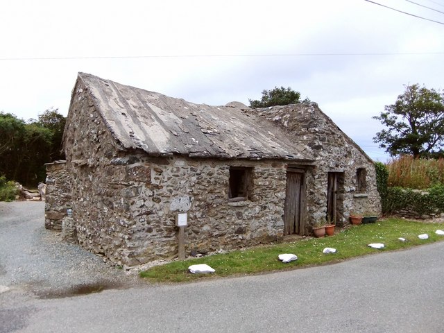
The village itself is small but charming, with a few shops, cafes, and guesthouses catering to visitors. It has a close-knit community and a friendly atmosphere, making it a welcoming place for tourists.

Overall, Rhodiad-y-Brenin is a tranquil coastal village that offers natural beauty, outdoor activities, and a peaceful escape from the hustle and bustle of city life.

If you have any feedback on the listing, please let us know in the comments section below.

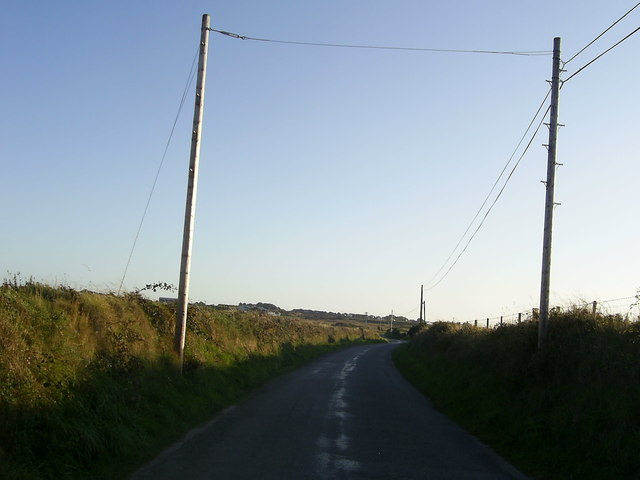
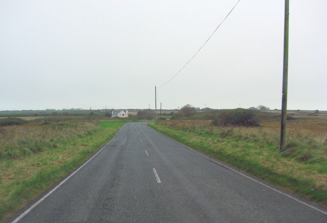
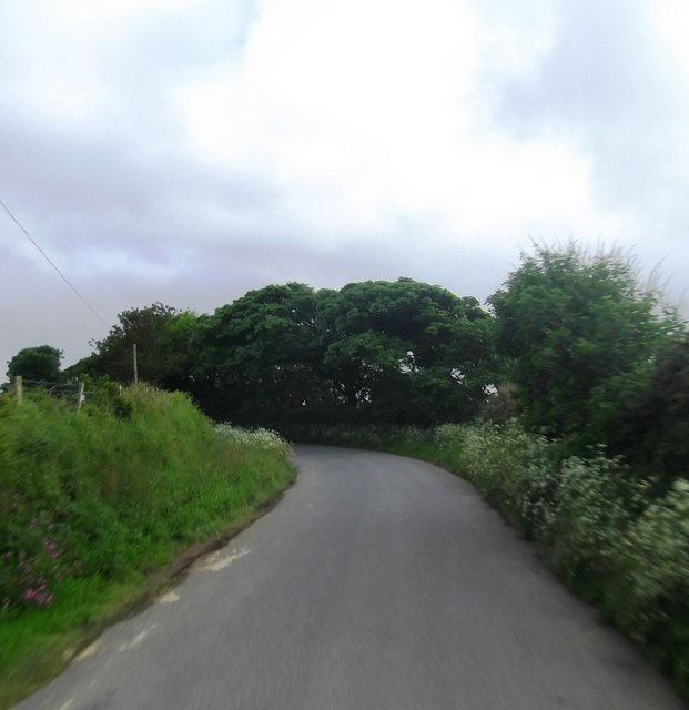
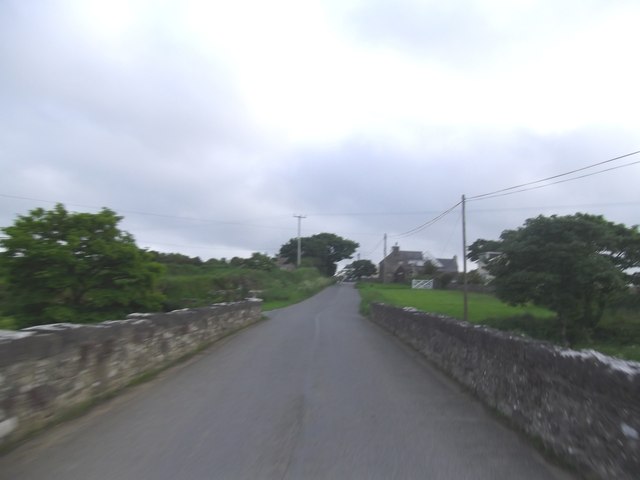
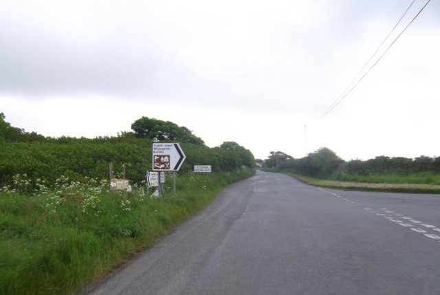
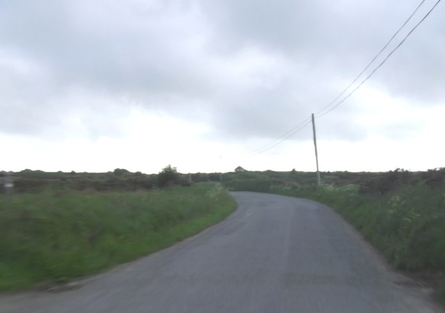
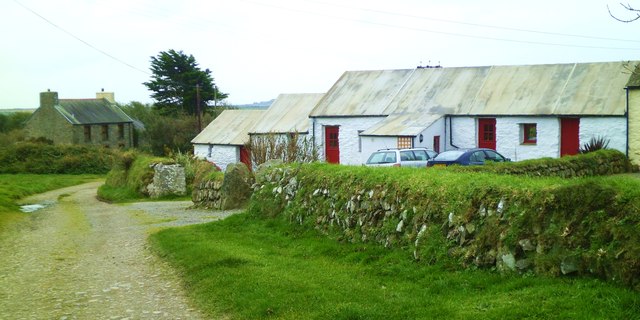
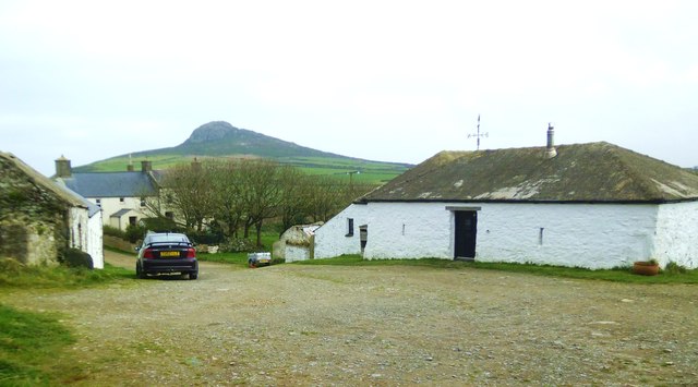
Rhodiad-y-Brenin Images

Images are sourced within 2km of 51.897949/-5.2473176 or Grid Reference SM7627. Thanks to Geograph Open Source API. All images are credited.

Carnedd Lleithr A view of Carnedd Lleithr which forms part of the headland of St David's Head, the headland is in the care of the National Trust.
Carnedd Lleithr
A view of Carnedd Lleithr which forms part of the headland of St David's Head, the headland is in the care of the National Trust.
Dowrog Common SSSI, with a distant view of Carn Llidi Much of Dowrog Common is bog.  Although a path is indicated on the map, there is little trace of it on the ground, and the going is very wet indeed - wellies essential if you hope to keep your feet and ankles dry.

The view here is WNW, with the coastal tor of Carn Llidi prominent on the horizon.
Dowrog Common SSSI, with a distant view of Carn Llidi
Much of Dowrog Common is bog. Although a path is indicated on the map, there is little trace of it on the ground, and the going is very wet indeed - wellies essential if you hope to keep your feet and ankles dry. The view here is WNW, with the coastal tor of Carn Llidi prominent on the horizon.
Marsh Cinquefoil (Potentilla palustris) on Dowrog Common SSSI One element in the rich flora of this boggy area.  Identified with a bit of help from my friend ceridwen (a terrific all-round naturalist) who was my guide on this walk.
Marsh Cinquefoil (Potentilla palustris) on Dowrog Common SSSI
One element in the rich flora of this boggy area. Identified with a bit of help from my friend ceridwen (a terrific all-round naturalist) who was my guide on this walk.
Gold-ringed Dragonfly (Cordulegaster boltonii), Dowrog Common SSSI This is the largest British dragonfly species, and in my experience one of the most approachable.  According to the British Dragonfly Society website <span class="nowrap"><a title="http://british-dragonflies.org.uk/species/golden-ringed-dragonfly" rel="nofollow ugc noopener" href="http://british-dragonflies.org.uk/species/golden-ringed-dragonfly">Link</a><img style="margin-left:2px;" alt="External link" title="External link - shift click to open in new window" src="https://s1.geograph.org.uk/img/external.png" width="10" height="10"/></span> females of this species reach a length of 84mm, males being smaller, reaching 74mm.  Wing-span will be greater, so this is a pretty impressive insect.  The individual in the picture is, I believe, a female.

While the body of the insect shows well in this shot, details of the wings aren't that easy to see - so I am making the image available in larger sizes.
Gold-ringed Dragonfly (Cordulegaster boltonii), Dowrog Common SSSI
This is the largest British dragonfly species, and in my experience one of the most approachable. According to the British Dragonfly Society website LinkExternal link females of this species reach a length of 84mm, males being smaller, reaching 74mm. Wing-span will be greater, so this is a pretty impressive insect. The individual in the picture is, I believe, a female. While the body of the insect shows well in this shot, details of the wings aren't that easy to see - so I am making the image available in larger sizes.
Dowrog Common SSSI, northern end Though officially described as 'lowland heath', much of Dowrog is bog.  In the foreground, a stand of Cotton Grass (or Bog Cotton), Eriophorum angustifolium, a plant of the sedge family, more typical of the Scottish Highlands.  The view is a little to the west of north, from near Rhodiad y Brenin, with Penberi - a great crag of volcanic origin - on the skyline.

For another instance of Cotton Grass growing in a lowland bog in southern Britain - albeit much further east - see <a href="https://www.geograph.org.uk/photo/2181554">SU9041 : The Bog, Thursley National Nature Reserve</a>.
Dowrog Common SSSI, northern end
Though officially described as 'lowland heath', much of Dowrog is bog. In the foreground, a stand of Cotton Grass (or Bog Cotton), Eriophorum angustifolium, a plant of the sedge family, more typical of the Scottish Highlands. The view is a little to the west of north, from near Rhodiad y Brenin, with Penberi - a great crag of volcanic origin - on the skyline. For another instance of Cotton Grass growing in a lowland bog in southern Britain - albeit much further east - see SU9041 : The Bog, Thursley National Nature Reserve.
Little stone buildings at Rhodiad y Brenin Very simple, rugged little buildings, in a fairly remote location close to the boggy north-west corner of Dowrog Common.  While they were most likely built to house animals, ceridwen has speculated that they may at some stage have served as human habitations: <a href="https://www.geograph.org.uk/photo/503697">SM7627 : Stone sheds</a>.
Little stone buildings at Rhodiad y Brenin
Very simple, rugged little buildings, in a fairly remote location close to the boggy north-west corner of Dowrog Common. While they were most likely built to house animals, ceridwen has speculated that they may at some stage have served as human habitations: SM7627 : Stone sheds.
A potato field near Dowrog Common - with Penberi on the horizon Potatoes are a very characteristic crop in this coastal area of Pembrokeshire - in contrast to the livestock rearing of the uplands further inland.  The hill on the horizon is Penberi, a peak of volcanic origin which would not look out of place in the barren wastes of Sutherland.

Compare this image with ceridwen's <a href="https://www.geograph.org.uk/photo/502571">SM7626 : Dewisland prospect</a>, taken from a point further north and east, on Dowrog Common itself.
A potato field near Dowrog Common - with Penberi on the horizon
Potatoes are a very characteristic crop in this coastal area of Pembrokeshire - in contrast to the livestock rearing of the uplands further inland. The hill on the horizon is Penberi, a peak of volcanic origin which would not look out of place in the barren wastes of Sutherland. Compare this image with ceridwen's SM7626 : Dewisland prospect, taken from a point further north and east, on Dowrog Common itself.
Country road near St David's View of the narrow country road heading for Trevinert from St David's, near  Ysgol Dewi Sant.
Country road near St David's
View of the narrow country road heading for Trevinert from St David's, near Ysgol Dewi Sant.
Country Road heading for St David's A section of a country road heading for St David's from Rhodiad-y-Brenin.
Country Road heading for St David's
A section of a country road heading for St David's from Rhodiad-y-Brenin.
A487 crosses Dowrog Common
A Bend in the Road at Yspytty
Pont-y-Gwrhyd at Rhodiad-y-Brenin Road bridge over the River Alun
Pont-y-Gwrhyd at Rhodiad-y-Brenin
Road bridge over the River Alun
Junction for Whitesands Beach
The Lane Bends Towards St. David's
Ocean Haze Fuel Station
Cottages at Treladdyd-fawr These traditional style buildings with cemented roofs appear to be holiday cottages converted from farm buildings.
Cottages at Treladdyd-fawr
These traditional style buildings with cemented roofs appear to be holiday cottages converted from farm buildings.
Farmyard at Llanferran A public footpath passes through this farmyard. Carn Penberry is the hill in the background.
Farmyard at Llanferran
A public footpath passes through this farmyard. Carn Penberry is the hill in the background.
Alpacas by the sea Not an animal one would expect to see close by the coast near St Davids. The view is towards the conical hill of Carn Penberry.
Alpacas by the sea
Not an animal one would expect to see close by the coast near St Davids. The view is towards the conical hill of Carn Penberry.
Show me another place!

Rhodiad-y-Brenin is located at Grid Ref: SM7627 (Lat: 51.897949, Lng: -5.2473176)

Unitary Authority: Pembrokeshire

Police Authority: Dyfed Powys

What 3 Words

///ballooned.hoot.adjuster. Near St Davids, Pembrokeshire

Related Wikis

Dowrog Common

Dowrog Common (Welsh: Comin Dowrog) is a Site of Special Scientific Interest (or SSSI) in Pembrokeshire, South Wales. It has been designated as a Site...

Ysgol Dewi Sant

Ysgol Dewi Sant is a secondary school in St Davids, Pembrokeshire, Wales. == Description == The school serves the historic city of St Davids and an extensive...

Penrhiw Priory

Penrhiw Priory was originally built as a vicarage in St Davids, Pembrokeshire, Wales, in 1884. The building was enlarged in the 1960s, serving for a time...

St David's (Pembrokeshire electoral ward)

St David's is the name of an electoral ward in Pembrokeshire, Wales. It covers the small city of St Davids and the ward's boundaries are coterminous with...

Nearby Amenities

Located within 500m of 51.897949,-5.2473176
Rhodiad-y-Brenin
Place: hamlet
Lat/Long: 51.8991378/-5.2474614
Post Box
Brand: Royal Mail
Brand Wikidata: Q638098
Operator: Royal Mail
Operator Wikidata: Q638098
Post Box Mounting: building
Post Box Type: wall
Ref: SA62 24
Lat/Long: 51.8989908/-5.2466334
Power: pole
Lat/Long: 51.9013058/-5.246948
Power: pole
Lat/Long: 51.900192/-5.2466127
Power: pole
Lat/Long: 51.89977/-5.2464491
Power: pole
Lat/Long: 51.8990252/-5.2460039
Power: pole
Lat/Long: 51.8986214/-5.2457196
Power: pole
Lat/Long: 51.8978468/-5.2455854
Power: pole
Lat/Long: 51.897155/-5.2453601
Power: pole
Lat/Long: 51.8963506/-5.2451697
Power: pole
Lat/Long: 51.8945961/-5.24683
Power: pole
Lat/Long: 51.8938579/-5.2475274
Power: pole
Lat/Long: 51.8993993/-5.2497026
Power: pole
Lat/Long: 51.8996624/-5.2486727
Power: pole
Lat/Long: 51.8999703/-5.2474737
Power: pole
Lat/Long: 51.9022425/-5.247243
Power: pole
Lat/Long: 51.8975588/-5.2420288
Power: pole
Lat/Long: 51.8976482/-5.2431607
Power: pole
Lat/Long: 51.8977144/-5.2440029
The data included in this document is from www.openstreetmap.org. The data is made available under ODbL.

Have you been to Rhodiad-y-Brenin?

Leave your review of Rhodiad-y-Brenin below (or comments, questions and feedback).