Rha
Settlement in Inverness-shire
Scotland
Rha
Rha is a small village located in the county of Inverness-shire, Scotland. Situated in the Scottish Highlands, it is nestled on the eastern banks of Loch Ness, a world-renowned freshwater lake famous for its mythical creature, the Loch Ness Monster. Rha is approximately 10 miles southwest of the city of Inverness, the administrative center of the Highlands.
The village of Rha offers breathtaking views of the surrounding mountains and Loch Ness, making it a popular destination for nature lovers and outdoor enthusiasts. Its tranquil and picturesque setting attracts visitors who enjoy activities such as hiking, fishing, and wildlife spotting. The area offers various walking trails, including the Great Glen Way, which passes through Rha, providing stunning views of the nearby Caledonian Canal.
Although Rha is a small village, it is well-served by amenities. The village has a local pub, where visitors can enjoy traditional Scottish food and drinks while soaking in the friendly atmosphere. Additionally, there are a few accommodation options available, ranging from cozy bed and breakfasts to self-catered cottages, providing visitors with a comfortable stay during their visit.
Rha's proximity to Loch Ness and Inverness also offers opportunities for exploring nearby attractions. Visitors can take boat tours on Loch Ness to search for the elusive Loch Ness Monster or visit the iconic Urquhart Castle, a historic ruin overlooking the loch. Inverness, with its rich history, museums, and vibrant cultural scene, is easily accessible from Rha and offers a wider range of amenities and activities.
Overall, Rha is a charming village that offers a peaceful retreat in the stunning Scottish Highlands, with its natural beauty, outdoor activities, and proximity to Loch Ness and Inverness making it a popular destination for tourists.
If you have any feedback on the listing, please let us know in the comments section below.
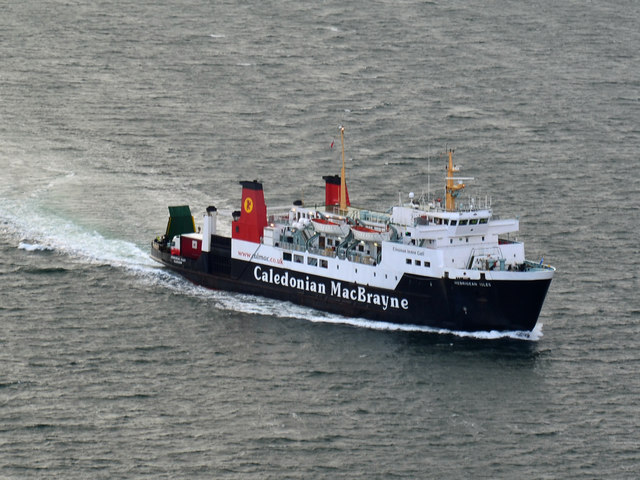
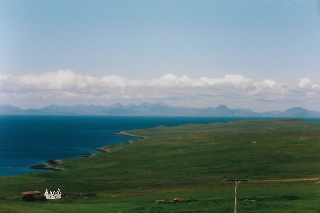
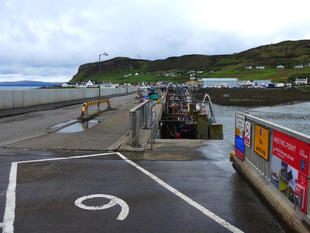
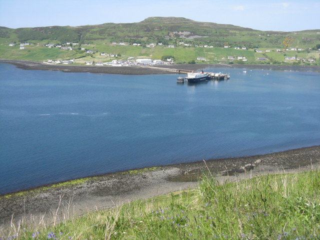
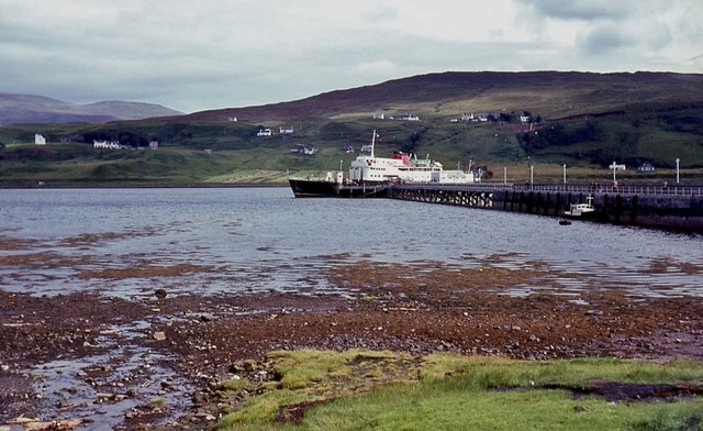
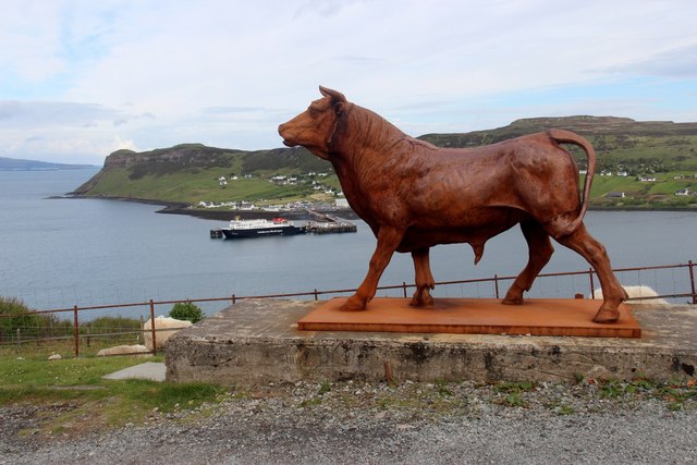
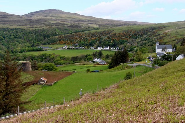
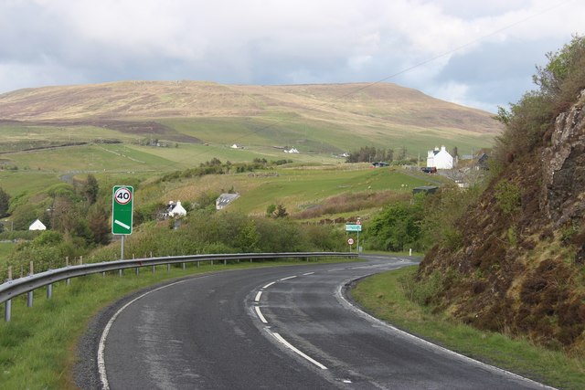
Rha Images
Images are sourced within 2km of 57.591429/-6.3642804 or Grid Reference NG3964. Thanks to Geograph Open Source API. All images are credited.

Rha is located at Grid Ref: NG3964 (Lat: 57.591429, Lng: -6.3642804)
Unitary Authority: Highland
Police Authority: Highlands and Islands
What 3 Words
///surfed.breeding.reclined. Near Uig, Highland
Nearby Locations
Related Wikis

Hebridean Light Railway Company
The Hebridean Light Railway Company proposed to operate on the Scottish islands of Skye and Lewis. The Skye line was to have connected the port of Isleornsay...

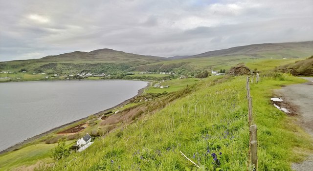
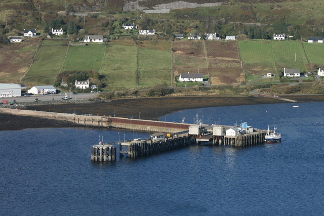
Uig, Snizort
Uig (Scottish Gaelic: Ùige [ˈuːkʲə]) is a village at the head of Uig Bay on the west coast of the Trotternish peninsula on the Isle of Skye, Scotland....

Idrigill
Idrigill is a small crofting village, on the coast of Uig Bay, on the west side of the Trotternish Peninsula, near Uig, in Portree, Isle of Skye, Scottish...
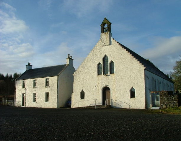
Snizort Free Church
The Snizort Free Church, is a place of worship of the Free Church of Scotland (Continuing) in the township of Skeabost in Snizort on the island of Skye...
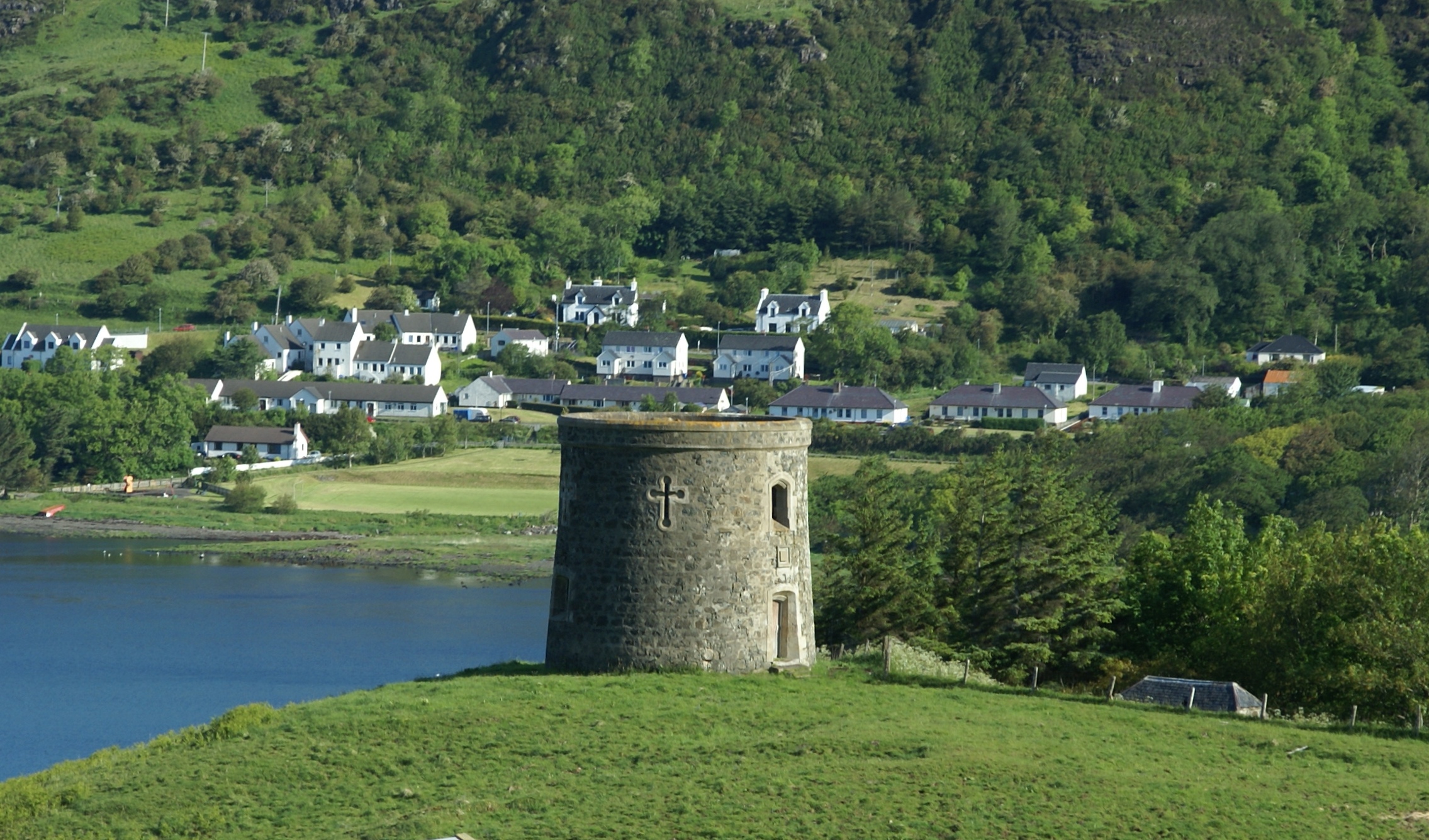
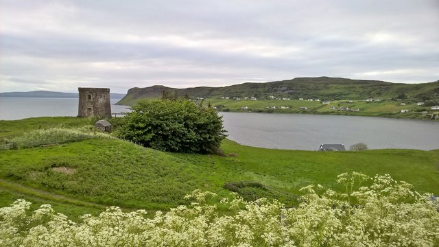
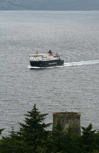
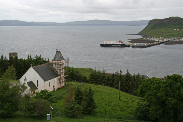
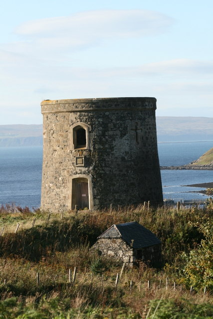
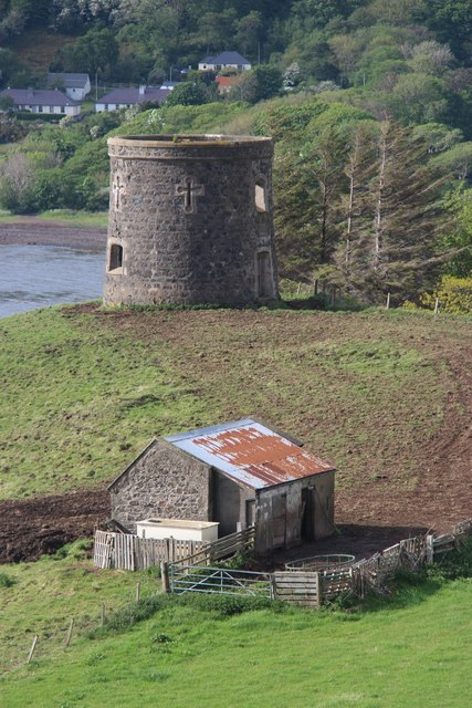
Uig Tower
The Uig Tower, also known as Captain Fraser's Folly, is a nineteenth century folly located in Uig on the island of Skye in the Highlands of Scotland. It...

Dun Skudiburgh
Dun Skudiburgh is a prehistoric fort near Uig, Skye, Scotland. The site is on the west coast of Trotternish, on a steep-sided knoll about 60 metres (200...
Kilvaxter
Kilvaxter (Scottish Gaelic: Cille Bhacastair) is a crofting township on the Trotternish peninsula of the Isle of Skye in the Highlands of Scotland. It...

Peinlich
Peinlich (Scottish Gaelic: Peighinn an Lighiche) is a hamlet on the Isle of Skye in Scotland. Its main claim to fame is that its name is German for "embarrassing...
Related Videos

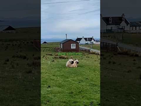
Just chill bro
two pals are just chilling and enjoy doing nothing #chill #views #scotland #isleofskye #uig #travel #travelling #wonderful ...


Nearby Amenities
Located within 500m of 57.591429,-6.3642804Have you been to Rha?
Leave your review of Rha below (or comments, questions and feedback).