Raigbeg

Settlement in Inverness-shire

Scotland

Raigbeg

Track heading for the Allt Bruachaig bridge The track isn't in great shape; hopefully the bridge is better.
Track heading for the Allt Bruachaig bridge Credit: Nigel Brown

Raigbeg is a small village located in the county of Inverness-shire, Scotland. Situated on the western shores of Loch Ness, it offers breathtaking views of the iconic lake and the surrounding Scottish Highlands. The village is part of the Highland Council area and is approximately 20 miles southwest of the city of Inverness.

With a population of around 300 residents, Raigbeg is known for its tranquil and picturesque setting, attracting visitors seeking a peaceful retreat amidst nature. The village is surrounded by verdant hills and forests, providing ample opportunities for outdoor activities such as hiking, cycling, and wildlife spotting. Loch Ness itself is a major draw, with its deep waters and the legendary Loch Ness Monster capturing the imaginations of locals and tourists alike.

Although Raigbeg is a small community, it offers some essential amenities for its residents and visitors. There is a general store where one can purchase groceries and other necessities, and a local pub that serves traditional Scottish food and beverages. The village also has a primary school to cater to the educational needs of the local children, while secondary education options can be found in nearby towns.

Raigbeg is well-connected to the surrounding areas through a network of roads, making it easily accessible for travelers. The village provides a unique opportunity to experience the raw beauty of the Scottish Highlands and indulge in outdoor pursuits, while also being in close proximity to larger towns for additional amenities and services.

If you have any feedback on the listing, please let us know in the comments section below.
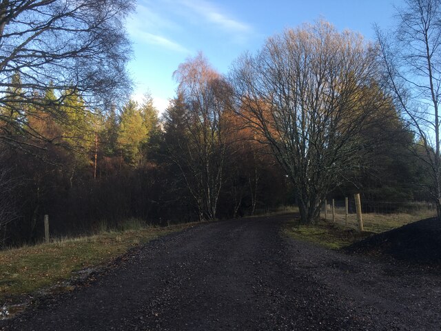
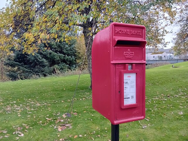
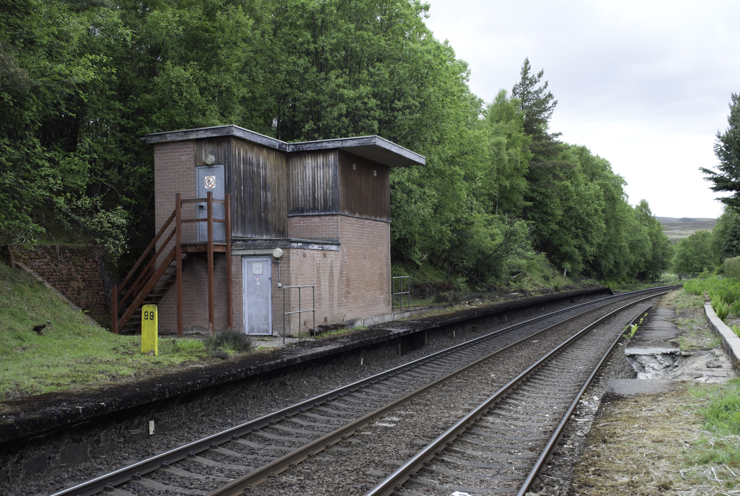
Raigbeg Images

Images are sourced within 2km of 57.336461/-3.9791058 or Grid Reference NH8029. Thanks to Geograph Open Source API. All images are credited.

Track heading for the Allt Bruachaig bridge The track isn't in great shape; hopefully the bridge is better.
Track heading for the Allt Bruachaig bridge
The track isn't in great shape; hopefully the bridge is better.
Minor road near Tomatin
Roadside pathway near Tomatin Distillery Looking southward.
Roadside pathway near Tomatin Distillery
Looking southward.
Tomatin Distillery buildings
Wash still in Tomatin Distillery
Ordnance Survey Flush Bracket G1196 This bracket can be found on the wall of a private dwelling (Pinewood) at Tomatin.
The recorded details give a height of 294.382 metres above sea level.
For more detail see : <span class="nowrap"><a title="https://www.bench-marks.org.uk/bm12449" rel="nofollow ugc noopener" href="https://www.bench-marks.org.uk/bm12449">Link</a><img style="margin-left:2px;" alt="External link" title="External link - shift click to open in new window" src="https://s1.geograph.org.uk/img/external.png" width="10" height="10"/></span>
Ordnance Survey Flush Bracket G1196
This bracket can be found on the wall of a private dwelling (Pinewood) at Tomatin. The recorded details give a height of 294.382 metres above sea level. For more detail see : LinkExternal link
Tomatin Distillery A whisky distillery.
Tomatin Distillery
A whisky distillery.
Postbox at Tomatin IV13 48. Royal Mail list this box as 'Tomatin Distillery'.
Postbox at Tomatin
IV13 48. Royal Mail list this box as 'Tomatin Distillery'.
Distillery Houses, Tomatin
Tomatin Station Now a passing loop on the Highland Main Line it was a victim of Beeching's Axe
Tomatin Station
Now a passing loop on the Highland Main Line it was a victim of Beeching's Axe
Entrance to the Tomatin Distillery
Conifer plantation, Tomatin Sitka spruce invade another space, this time between the old A9 and a minor road.
Conifer plantation, Tomatin
Sitka spruce invade another space, this time between the old A9 and a minor road.
Tomatin Distillery
Tomatin Distillery
Burn near Tomatin Distillery
Houses, Tomatin Distillery
Railway bridge near Tomatin Distillery The Highland Main Line.
Railway bridge near Tomatin Distillery
The Highland Main Line.
Grazing and burn near Pinewood
The entrance to Tomatin Distillery, Tomatin
Show me another place!

Raigbeg is located at Grid Ref: NH8029 (Lat: 57.336461, Lng: -3.9791058)

Unitary Authority: Highland

Police Authority: Highlands and Islands

What 3 Words

///alleyway.recitals.prefect. Near Milton of Leys, Highland

Nearby Locations

Raigbeg

Related Wikis

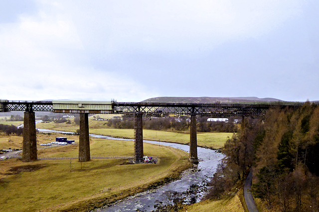
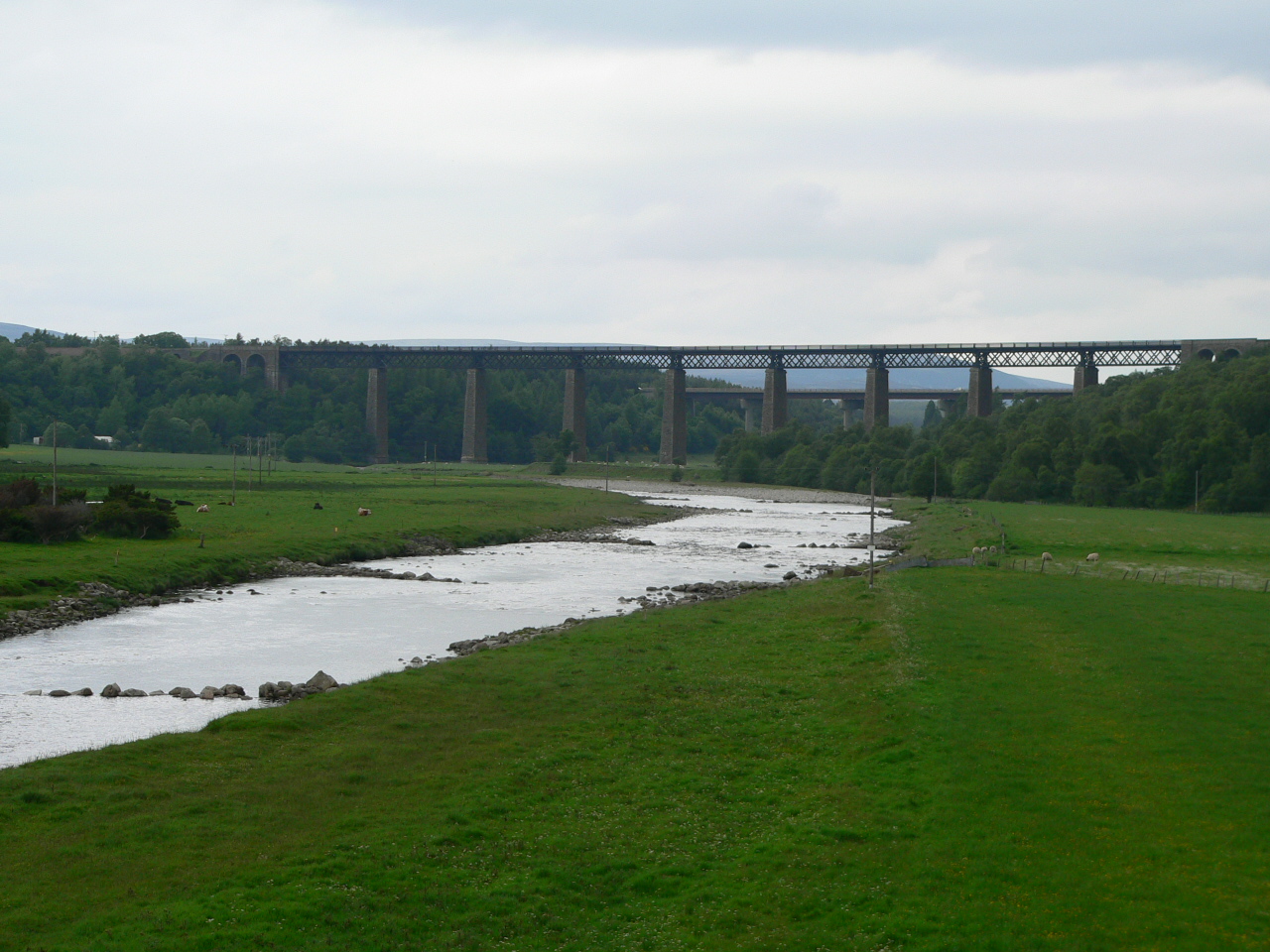
Findhorn Viaduct (Tomatin)

The Findhorn Viaduct is a railway bridge approximately 500 metres (550 yd) east of the village of Tomatin in the Scottish Highlands, which carries the...

Tomatin

Tomatin (Scottish Gaelic: Tom Aitinn) is a small village on the River Findhorn in Strathdearn in the Scottish Highlands, about 16 miles (26 km) southeast...

Tomatin railway station

Tomatin railway station served the village of Tomatin, Highland, Scotland from 1897 to 1965 on the Inverness and Aviemore Direct Railway. == History... ==

Tomatin distillery

Tomatin distillery is a single malt Scotch whisky distillery in the village of Tomatin. Its whisky is classified as being from the Highland region, as...

Nearby Amenities

Located within 500m of 57.336461,-3.9791058
Bus Stop
Old Schoolhouse
Naptan AtcoCode: 6700713065
Naptan Bearing: NE
Naptan CommonName: Old Schoolhouse
Naptan Indicator: opp
Naptan Landmark: Old Schoolhouse
Naptan NaptanCode: 45328484
Naptan Street: Balvraid Road
Naptan Verified: no
Source: naptan_import
Lat/Long: 57.3368698/-3.9783525
Bus Stop
Old Schoolhouse
Naptan AtcoCode: 6700713065A
Naptan Bearing: SW
Naptan CommonName: Old Schoolhouse
Naptan Indicator: o/s
Naptan Landmark: Old Schoolhouse
Naptan NaptanCode: 45329523
Naptan Street: Balvraid Road
Naptan Verified: no
Source: naptan_import
Lat/Long: 57.3368696/-3.9783691
Parking
Layby 157
Access: yes
Fee: no
Parking: layby
Source: survey
Lat/Long: 57.3322544/-3.9788794
Parking
Layby 159
Access: yes
Fee: no
Parking: layby
Source: survey
Lat/Long: 57.3374464/-3.9832157
Historic: memorial
Source: survey
Lat/Long: 57.3374087/-3.9775854
Parking
Layby 158
Access: yes
Fee: no
Parking: layby
Source: survey
Lat/Long: 57.3372922/-3.9834677
Raigbeg
Place: hamlet
Lat/Long: 57.3365864/-3.9774912
Power: pole
Lat/Long: 57.3339436/-3.9857725
Power: pole
Lat/Long: 57.3340606/-3.9848031
Power: pole
Lat/Long: 57.334287/-3.9840736
Power: pole
Lat/Long: 57.3346389/-3.9830482
Power: pole
Lat/Long: 57.3346776/-3.9829132
Power: pole
Lat/Long: 57.3349799/-3.9820602
Power: pole
Lat/Long: 57.3357162/-3.9824939
Power: pole
Lat/Long: 57.3362247/-3.9845245
Power: pole
Lat/Long: 57.3367269/-3.985603
Power: pole
Lat/Long: 57.3371362/-3.9864877
Power: pole
Lat/Long: 57.3335754/-3.9850358
Power: pole
Lat/Long: 57.3331041/-3.9843493
Power: pole
Lat/Long: 57.3374579/-3.9711673
Power: pole
Lat/Long: 57.3374342/-3.9724406
Power: pole
Lat/Long: 57.3374251/-3.9730849
Power: pole
Lat/Long: 57.3370512/-3.9740528
Power: pole
Lat/Long: 57.3366789/-3.9750055
Power: pole
Lat/Long: 57.3363115/-3.9759354
Power: pole
Lat/Long: 57.3362885/-3.9765888
Power: pole
Lat/Long: 57.3362762/-3.9777193
Power: pole
Lat/Long: 57.3360843/-3.9784016
Power: pole
Lat/Long: 57.3358588/-3.9791537
Power: pole
Lat/Long: 57.3356931/-3.979719
Power: pole
Lat/Long: 57.3358839/-3.9790701
Power: pole
Lat/Long: 57.3358826/-3.9797296
Power: pole
Lat/Long: 57.3382411/-3.9796886
Power: pole
Lat/Long: 57.3379098/-3.9795579
Power: pole
Lat/Long: 57.3376014/-3.9794516
Power: pole
Lat/Long: 57.3373243/-3.9793452
Power: pole
Lat/Long: 57.3370791/-3.9787465
The data included in this document is from www.openstreetmap.org. The data is made available under ODbL.

Have you been to Raigbeg?

Leave your review of Raigbeg below (or comments, questions and feedback).