Priestland

Settlement in Ayrshire

Scotland

Priestland

Road bridge Bridge over the River Irvine
Road bridge Credit: Scott

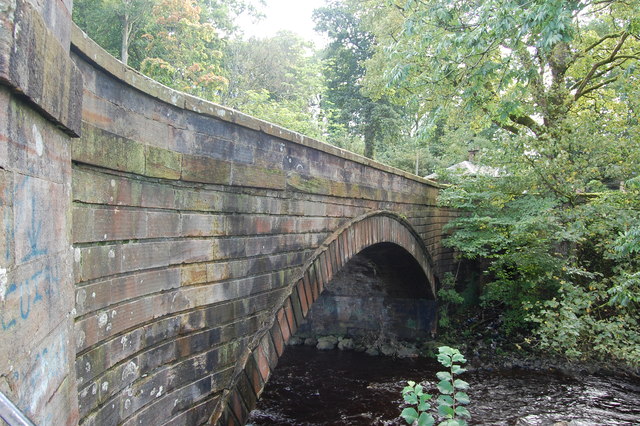
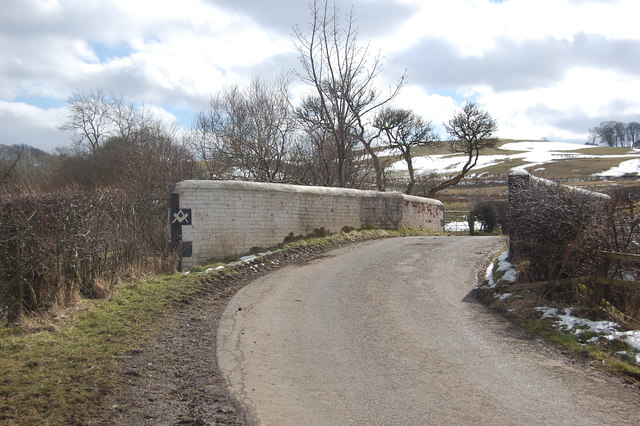
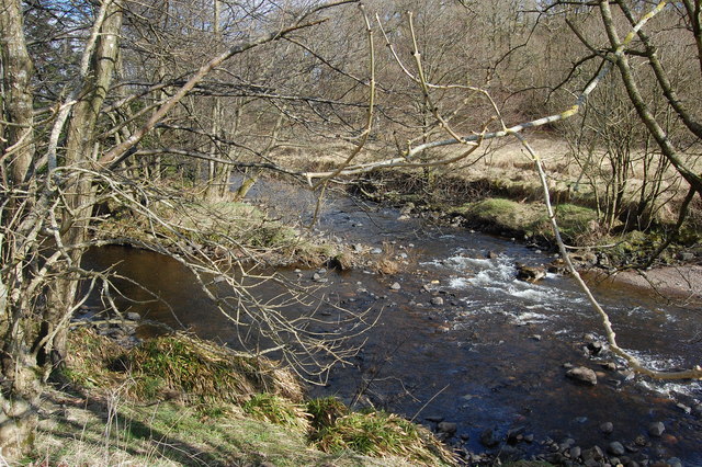
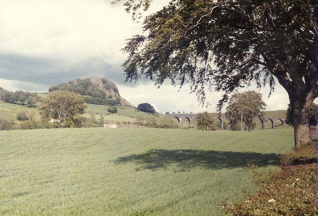
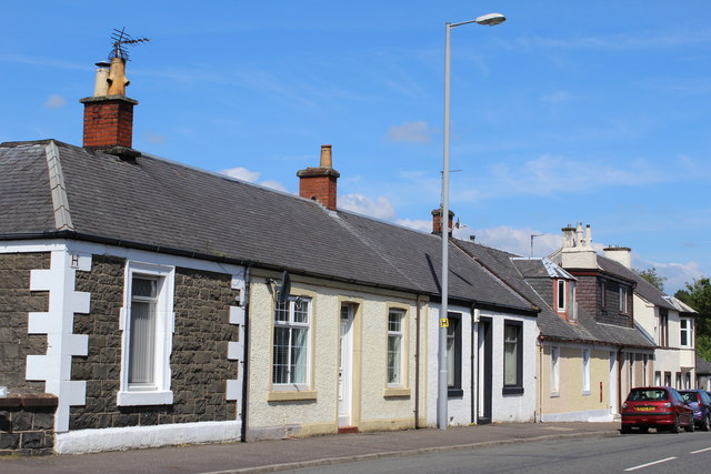
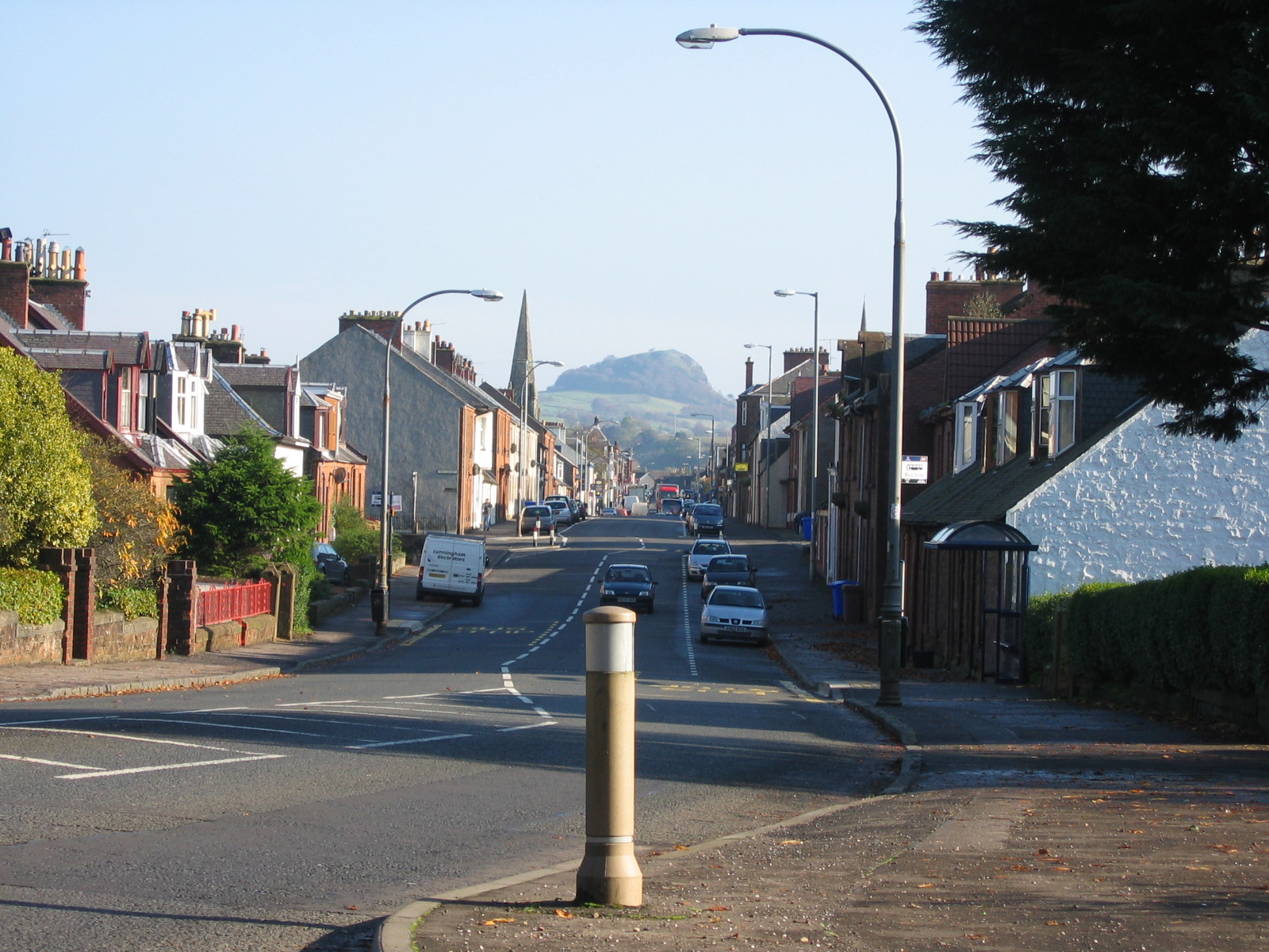
Priestland is a small village located in the South Ayrshire council area of Scotland. Situated approximately 8 miles southeast of the town of Ayr, it is nestled in the picturesque countryside of Ayrshire. The village is surrounded by rolling hills, farmland, and forests, offering residents and visitors a tranquil and scenic environment.

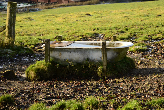
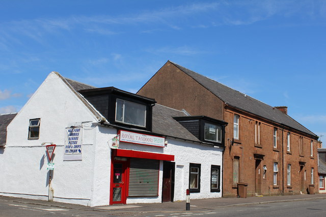
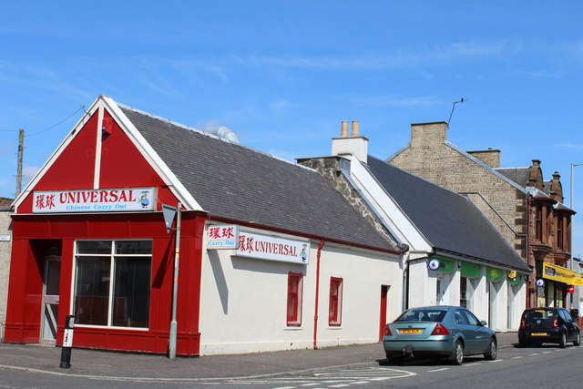
Priestland is primarily a residential area, with a close-knit community that values its rural setting and peaceful atmosphere. The village consists of a mix of traditional cottages, modern houses, and a few local amenities. These amenities include a primary school, a community hall, and a small shop that caters to the basic needs of the residents.

The village is well-connected to neighboring towns and cities, with regular bus services providing transportation links to Ayr, where more extensive amenities and services can be found. Additionally, Priestland benefits from its proximity to the A77 road, which connects it to other parts of Ayrshire and beyond.

The surrounding area offers numerous opportunities for outdoor activities and recreation. Residents and visitors can explore the nearby countryside through well-maintained walking and cycling paths, taking in the scenic beauty of the region. The village also benefits from its proximity to the coast, with several sandy beaches within a short drive.

Overall, Priestland is a charming village that offers a peaceful and idyllic setting for those who prefer a rural lifestyle while still being within reach of larger towns and cities.

If you have any feedback on the listing, please let us know in the comments section below.

Priestland Images

Images are sourced within 2km of 55.609074/-4.2590111 or Grid Reference NS5737. Thanks to Geograph Open Source API. All images are credited.

Road bridge Bridge over the River Irvine
Road bridge
Bridge over the River Irvine
Cold bath
Cold bath
High Henryton Darvel This ruined steading hasn't been occupied for at least 150 years. It is divided up into three sections. Two would be accommodation and the other would be used as a byre.
High Henryton Darvel
This ruined steading hasn't been occupied for at least 150 years. It is divided up into three sections. Two would be accommodation and the other would be used as a byre.
Road Bridge Bridge on farm access road.
Road Bridge
Bridge on farm access road.
River meetings The Glen Water meets the River Irvine
River meetings
The Glen Water meets the River Irvine
Steel Bridge Private access bridge across River Irvine.
Steel Bridge
Private access bridge across River Irvine.
Looking across the fields from the A71 towards Loudoun Hill The railway line was demolished in 1986 - the year after I took this picture
Looking across the fields from the A71 towards Loudoun Hill
The railway line was demolished in 1986 - the year after I took this picture
West Main Street, Darvel
The Turf Hotel, West Main Street, Darvel Category B-listed. Built c1840
The Turf Hotel, West Main Street, Darvel
Category B-listed. Built c1840
The Black Bull, West Main Street, Darvel Dated 1840
The Black Bull, West Main Street, Darvel
Dated 1840
Darvel Town Hall Category B-listed. Built late 19th-early 20th century.
Darvel Town Hall
Category B-listed. Built late 19th-early 20th century.
Darvel War Memorial
Darvel War Memorial
The Dagon Stone, Hastings Square, Darvel Possible standing stone which has been moved and re-erected on more than one occasion. The round boulder on top was added by a local blacksmith in the 19th century.
The Dagon Stone, Hastings Square, Darvel
Possible standing stone which has been moved and re-erected on more than one occasion. The round boulder on top was added by a local blacksmith in the 19th century.
Darvel Industrial Co-Operative Society Ltd Registered Offices Derelict building on Ranoldcoup Road
Darvel Industrial Co-Operative Society Ltd Registered Offices
Derelict building on Ranoldcoup Road
East Main Street, Darvel At the corner of Jamieson Road
East Main Street, Darvel
At the corner of Jamieson Road
East Main Street, Darvel
Loudoun Valley Manufacturing Co Ltd, Darvel Vacant business premises on Jamieson Road
Loudoun Valley Manufacturing Co Ltd, Darvel
Vacant business premises on Jamieson Road
Show me another place!

Priestland is located at Grid Ref: NS5737 (Lat: 55.609074, Lng: -4.2590111)

Unitary Authority: East Ayrshire

Police Authority: Ayrshire

What 3 Words

///spacing.undertook.kipper. Near Darvel, East Ayrshire

Related Wikis

Priestland

Priestland is a village in East Ayrshire, Scotland. It has a population of 121 (Census 2001) and lies on the A71, around two miles west of Loudoun Hill...

Darvel F.C.

Darvel Football Club are a Scottish football club based in the town of Darvel, Ayrshire. Nicknamed "The Vale" and formed in 1889, the club play at Recreation...

Darvel

Darvel (Scots: Dairvel, Scottish Gaelic: Darbhail) is a small town in East Ayrshire, Scotland. It is at the eastern end of the Irvine Valley and is sometimes...

Darvel Town Hall

Darvel Town Hall is a municipal building in West Main Street, Darvel, East Ayrshire, Scotland. The structure, which is used as a library and a community...

Darvel Music Festival

Darvel Music Festival is a music festival that has been held in the town of Darvel, East Ayrshire, Ayrshire, Scotland, since 2002. The Darvel Music Festival...

Loudounhill railway station

Loudounhill (NS 60268 37191) was a railway station on the Darvel and Strathaven Railway serving a rural area that included the landmark of Loudoun Hill...

Kilmarnock and Loudoun (UK Parliament constituency)

Kilmarnock and Loudoun is a county constituency of the House of Commons of the Parliament of the United Kingdom. It elects one Member of Parliament (MP...

Battle of Loudoun Hill

The Battle of Loudoun Hill was fought on 10 May 1307, between a Scots force led by King Robert the Bruce and the English commanded by Aymer de Valence...

Nearby Amenities

Located within 500m of 55.609074,-4.2590111
Post Box
Source: survey
Lat/Long: 55.6093113/-4.2596429
Power: pole
Lat/Long: 55.6079986/-4.2663128
Power: pole
Lat/Long: 55.6078962/-4.2658607
Power: pole
Lat/Long: 55.6079044/-4.26455
Power: pole
Lat/Long: 55.6079127/-4.2631706
Power: pole
Lat/Long: 55.6079115/-4.2625372
Power: pole
Lat/Long: 55.6079138/-4.2613787
Power: pole
Lat/Long: 55.6079468/-4.2602597
Power: pole
Lat/Long: 55.6075878/-4.2592554
Power: pole
Lat/Long: 55.6072206/-4.2582782
Power: pole
Lat/Long: 55.6068899/-4.2573592
Power: pole
Lat/Long: 55.6070523/-4.2559903
Power: pole
Lat/Long: 55.6071512/-4.2551255
Power: pole
Lat/Long: 55.6073065/-4.2537295
Power: pole
Lat/Long: 55.6074713/-4.2523376
Power: pole
Lat/Long: 55.6072736/-4.2628914
Power: pole
Lat/Long: 55.606678/-4.2632206
Power: pole
Lat/Long: 55.6061224/-4.2635415
Power: pole
Lat/Long: 55.6080998/-4.2531231
Power: pole
Lat/Long: 55.6087024/-4.2538753
Power: pole
Lat/Long: 55.6091649/-4.2544358
Power: pole
Lat/Long: 55.6099605/-4.2554381
Power: pole
Lat/Long: 55.6107467/-4.2555402
Power: pole
Lat/Long: 55.6113199/-4.2556194
Power: pole
Lat/Long: 55.6133228/-4.2591481
Power: pole
Lat/Long: 55.6124849/-4.2589251
Power: pole
Lat/Long: 55.6121107/-4.2596836
Priestland
Place: village
Lat/Long: 55.6095872/-4.2600697
The data included in this document is from www.openstreetmap.org. The data is made available under ODbL.

Have you been to Priestland?

Leave your review of Priestland below (or comments, questions and feedback).