Pharaoh's Island

Settlement in Middlesex Spelthorne

England

Pharaoh's Island

Farmland next to Walton Lane Fields between the River Thames and Oatlands Park Hotel.
Farmland next to Walton Lane Credit: James Emmans

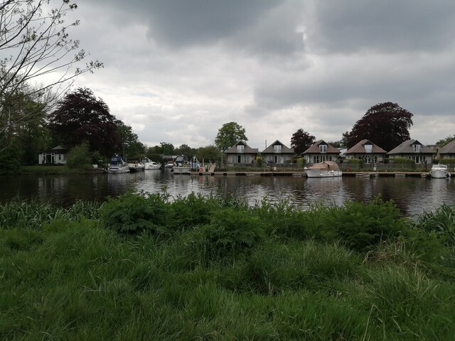
Pharaoh's Island is a small island located in the River Thames, Middlesex, England. It is situated approximately 30 miles west of central London and is part of the borough of Spelthorne. The island covers an area of about 2.5 acres and is accessible only by boat.

The island gets its name from its alleged resemblance to the shape of a pharaoh's headdress when viewed from certain angles. It has a rich history dating back to the medieval times when it served as a strategic defensive position for guarding the river and protecting London.

The island is dominated by a 19th-century fort, which was built as part of the Victorian defensive system known as the Palmerston Forts. The fort was constructed to defend against potential French invasions during that period. It consists of a central tower surrounded by high walls and gun positions. Today, the fort stands as a historic landmark and is privately owned.

Pharaoh's Island also features a small number of residential properties, including a cottage and a few houses. These properties are privately owned and provide a unique living experience for the residents.

Due to its remote location and limited public access, Pharaoh's Island remains a hidden gem and is mostly visited by history enthusiasts, boaters, and tourists seeking a glimpse into the past. The island offers picturesque views of the river and its surrounding natural beauty, making it a popular spot for photography and leisurely walks along the riverbank.

If you have any feedback on the listing, please let us know in the comments section below.

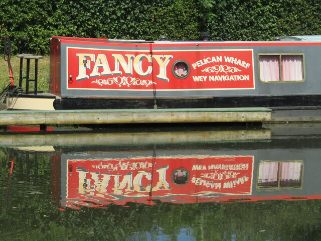
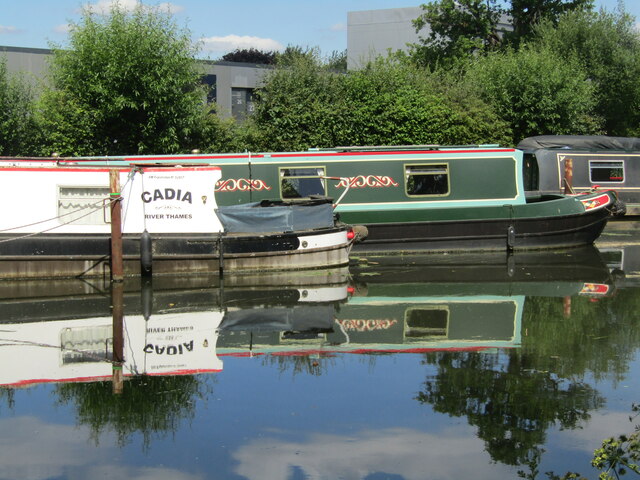
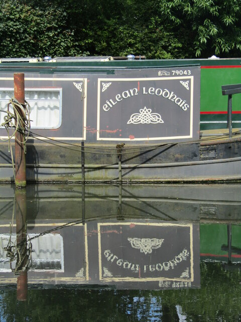
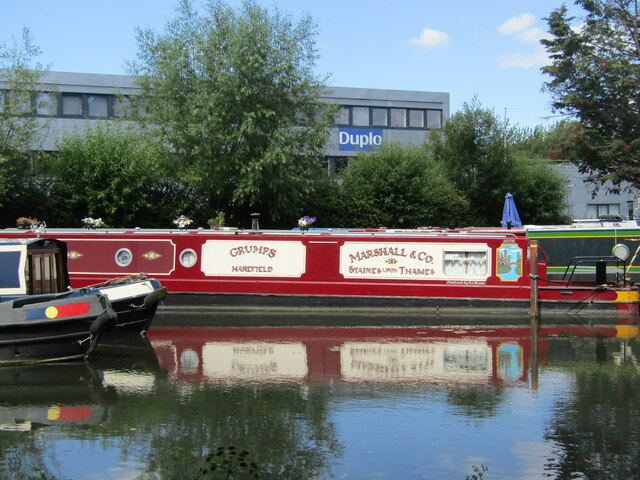
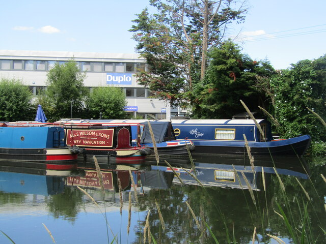
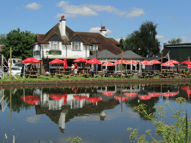
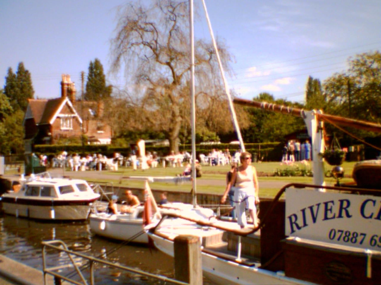
Pharaoh's Island Images

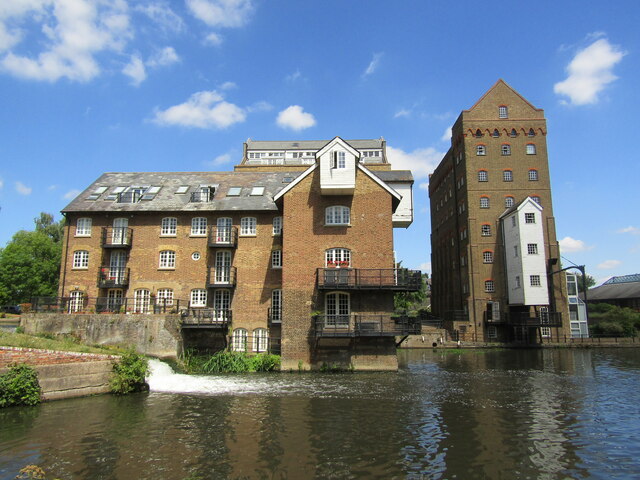
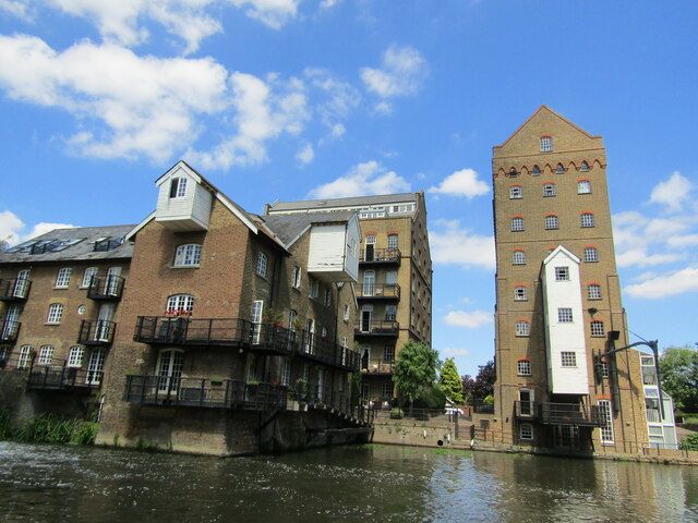
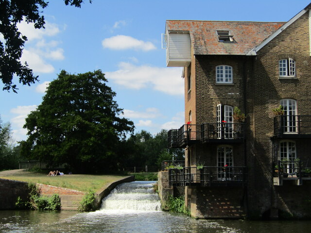
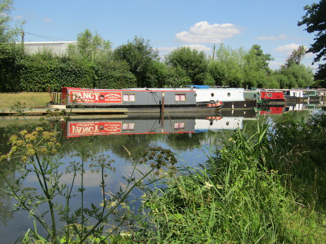
Images are sourced within 2km of 51.382349/-0.4649651 or Grid Reference TQ0665. Thanks to Geograph Open Source API. All images are credited.

Farmland next to Walton Lane Fields between the River Thames and Oatlands Park Hotel.
Farmland next to Walton Lane
Fields between the River Thames and Oatlands Park Hotel.
Entrance to Bates Wharf The entrance to Bates Wharf Marina, looking across the River Thames from a convenient bench
Entrance to Bates Wharf
The entrance to Bates Wharf Marina, looking across the River Thames from a convenient bench
Addlestone - Coxes Lock Mill Mill on the River Wey Navigation, first built 1776, rebuilt 1901, finally closed 1983. It has been an iron mill, silk mill and a flour mill before being converted to residential use.
<span class="nowrap"><a title="www.weyriver.co.uk" rel="nofollow ugc noopener" href="http://www.weyriver.co.uk">Link</a><img style="margin-left:2px;" alt="External link" title="External link - shift click to open in new window" src="https://s1.geograph.org.uk/img/external.png" width="10" height="10"/></span>
Addlestone - Coxes Lock Mill
Mill on the River Wey Navigation, first built 1776, rebuilt 1901, finally closed 1983. It has been an iron mill, silk mill and a flour mill before being converted to residential use. LinkExternal link
Addlestone - Coxes Mill Mill on the River Wey Navigation, first built 1776, rebuilt 1901, finally closed 1983. It has been an iron mill, silk mill and a flour mill before being converted to residential use.
<span class="nowrap"><a title="www.weyriver.co.uk" rel="nofollow ugc noopener" href="http://www.weyriver.co.uk">Link</a><img style="margin-left:2px;" alt="External link" title="External link - shift click to open in new window" src="https://s1.geograph.org.uk/img/external.png" width="10" height="10"/></span>
Addlestone - Coxes Mill
Mill on the River Wey Navigation, first built 1776, rebuilt 1901, finally closed 1983. It has been an iron mill, silk mill and a flour mill before being converted to residential use. LinkExternal link
Addlestone - Coxes Lock and Mill Mill on the River Wey Navigation, first built 1776, rebuilt 1901, finally closed 1983. It had been an iron mill, silk mill and a flour mill before being converted to residential use.
<span class="nowrap"><a title="www.weyriver.co.uk" rel="nofollow ugc noopener" href="http://www.weyriver.co.uk">Link</a><img style="margin-left:2px;" alt="External link" title="External link - shift click to open in new window" src="https://s1.geograph.org.uk/img/external.png" width="10" height="10"/></span>
Addlestone - Coxes Lock and Mill
Mill on the River Wey Navigation, first built 1776, rebuilt 1901, finally closed 1983. It had been an iron mill, silk mill and a flour mill before being converted to residential use. LinkExternal link
Addlestone - Coxes Mill Mill on the River Wey Navigation, first built 1776, rebuilt 1901, finally closed 1983. It has been an iron mill, silk mill and a flour mill before being converted to residential use.
<span class="nowrap"><a title="www.weyriver.co.uk" rel="nofollow ugc noopener" href="http://www.weyriver.co.uk">Link</a><img style="margin-left:2px;" alt="External link" title="External link - shift click to open in new window" src="https://s1.geograph.org.uk/img/external.png" width="10" height="10"/></span>
Addlestone - Coxes Mill
Mill on the River Wey Navigation, first built 1776, rebuilt 1901, finally closed 1983. It has been an iron mill, silk mill and a flour mill before being converted to residential use. LinkExternal link
Addlestone - Coxes Mill Mill on the River Wey Navigation, first built 1776, rebuilt 1901, finally closed 1983. It had been an iron mill, silk mill and a flour mill before being converted to residential use.
<span class="nowrap"><a title="www.weyriver.co.uk" rel="nofollow ugc noopener" href="http://www.weyriver.co.uk">Link</a><img style="margin-left:2px;" alt="External link" title="External link - shift click to open in new window" src="https://s1.geograph.org.uk/img/external.png" width="10" height="10"/></span>
Addlestone - Coxes Mill
Mill on the River Wey Navigation, first built 1776, rebuilt 1901, finally closed 1983. It had been an iron mill, silk mill and a flour mill before being converted to residential use. LinkExternal link
Addlestone - River Wey Navigation Narrowboats moored at Hamm Moor, south of Weybridge.
<span class="nowrap"><a title="www.weyriver.co.uk" rel="nofollow ugc noopener" href="http://www.weyriver.co.uk">Link</a><img style="margin-left:2px;" alt="External link" title="External link - shift click to open in new window" src="https://s1.geograph.org.uk/img/external.png" width="10" height="10"/></span>
Addlestone - River Wey Navigation
Narrowboats moored at Hamm Moor, south of Weybridge. LinkExternal link
Addlestone - Fancy Narrowboat "Fancy" moored at Pelican Wharf on the River Wey Navigation south of Weybridge.
<span class="nowrap"><a title="www.weyriver.co.uk" rel="nofollow ugc noopener" href="http://www.weyriver.co.uk">Link</a><img style="margin-left:2px;" alt="External link" title="External link - shift click to open in new window" src="https://s1.geograph.org.uk/img/external.png" width="10" height="10"/></span>
Addlestone - Fancy
Narrowboat "Fancy" moored at Pelican Wharf on the River Wey Navigation south of Weybridge. LinkExternal link
Addlestone - Pelican Wharf Narrowboat "Cadia" and others moored at Hamm Moor on the River Wey Navigation.
<span class="nowrap"><a title="www.weyriver.co.uk" rel="nofollow ugc noopener" href="http://www.weyriver.co.uk">Link</a><img style="margin-left:2px;" alt="External link" title="External link - shift click to open in new window" src="https://s1.geograph.org.uk/img/external.png" width="10" height="10"/></span>
Addlestone - Pelican Wharf
Narrowboat "Cadia" and others moored at Hamm Moor on the River Wey Navigation. LinkExternal link
Addlestone - Eilean Leodhais Narrowboat "Eilean Leodhais" moored at Pelican Wharf, Hamm Moor, on the River Wey Navigation is a long way from the Isle of Lewis.
Addlestone - Eilean Leodhais
Narrowboat "Eilean Leodhais" moored at Pelican Wharf, Hamm Moor, on the River Wey Navigation is a long way from the Isle of Lewis.
Addlestone - Work and Play "Duplo" office block beside Pelican Wharf on the River Wey Navigation where narrowboat "Grumps" of Harefield is moored.
<span class="nowrap"><a title="www.weyriver.co.uk" rel="nofollow ugc noopener" href="http://www.weyriver.co.uk">Link</a><img style="margin-left:2px;" alt="External link" title="External link - shift click to open in new window" src="https://s1.geograph.org.uk/img/external.png" width="10" height="10"/></span>
Addlestone - Work and Play
"Duplo" office block beside Pelican Wharf on the River Wey Navigation where narrowboat "Grumps" of Harefield is moored. LinkExternal link
Weybridge - Wey Navigation Narrowboats moored at Pelican Wharf, Weybridge Business Park.
Weybridge - Wey Navigation
Narrowboats moored at Pelican Wharf, Weybridge Business Park.
Hamm Moor - The Pelican Pub with beer garden on the bank of the River Wey Navigation.
Hamm Moor - The Pelican
Pub with beer garden on the bank of the River Wey Navigation.
Hamm Moor - Waterside Haunt The "Devil's Elbow" narrowboat moored at The Pelican on the River Wey Navigation near Weybridge. 
<span class="nowrap"><a title="www.weyriver.co.uk" rel="nofollow ugc noopener" href="http://www.weyriver.co.uk">Link</a><img style="margin-left:2px;" alt="External link" title="External link - shift click to open in new window" src="https://s1.geograph.org.uk/img/external.png" width="10" height="10"/></span>
Hamm Moor - Waterside Haunt
The "Devil's Elbow" narrowboat moored at The Pelican on the River Wey Navigation near Weybridge. LinkExternal link
Hamm Moor - Adina Boating on the River Wey Navigation near Weybridge.
<span class="nowrap"><a title="www.weyriver.co.uk" rel="nofollow ugc noopener" href="http://www.weyriver.co.uk">Link</a><img style="margin-left:2px;" alt="External link" title="External link - shift click to open in new window" src="https://s1.geograph.org.uk/img/external.png" width="10" height="10"/></span>
Hamm Moor - Adina
Boating on the River Wey Navigation near Weybridge. LinkExternal link
Show me another place!

Pharaoh's Island is located at Grid Ref: TQ0665 (Lat: 51.382349, Lng: -0.4649651)

Administrative County: Surrey

District: Spelthorne

Police Authority: Surrey

What 3 Words

///less.oddly.brush. Near Weybridge, Surrey

Related Wikis

Pharaoh's Island, River Thames

Pharaoh's Island is an island in the River Thames, in Surrey, England, 270 m (300 yd) upstream of Shepperton Lock. == Overview == The island has a length...

Hamhaugh Island

Hamhaugh Island is an island, historically known simply as Stadbury, in the River Thames in England south of Shepperton Lock, in Shepperton, Surrey....

River Bourne, Addlestone

The River Bourne is the name given to a Thames tributary in northwest Surrey, England which has a longer tributary, the Windle Brook, that rises nears...

Shepperton Lock

Shepperton Lock is a lock on the River Thames, in England by the left bank at Shepperton, Surrey. It is across the river from Weybridge which is nearby...

Nearby Amenities

Located within 500m of 51.382349,-0.4649651
Post Box
Operator: Royal Mail
Post Box Type: pillar
Ref: TW17 317D
Royal Cypher: EIIR
Royal Cypher Wikidata: Q33102113
Lat/Long: 51.3821639/-0.4591278
Restaurant
Lat/Long: 51.3827982/-0.4616602
Hamm Court
Place: hamlet
Lat/Long: 51.3798835/-0.4651175
Bench
Backrest: yes
Lat/Long: 51.3855856/-0.4695914
Power: pole
Lat/Long: 51.3808531/-0.4713097
Power: pole
Lat/Long: 51.3802914/-0.4678188
Power: pole
Lat/Long: 51.3805568/-0.4694751
Barrier: entrance
Lat/Long: 51.3802842/-0.4703061
Barrier: entrance
Lat/Long: 51.3802999/-0.4712098
Barrier: entrance
Lat/Long: 51.3791066/-0.4694144
Toilets
Lat/Long: 51.3821896/-0.4586972
Bench
Backrest: yes
Lat/Long: 51.3824635/-0.4617074
Bench
Backrest: yes
Lat/Long: 51.3826058/-0.4621084
Bench
Backrest: yes
Lat/Long: 51.3825405/-0.4619126
Bench
Backrest: yes
Lat/Long: 51.3831817/-0.4649314
Bench
Backrest: yes
Lat/Long: 51.3848992/-0.4694362
Bench
Backrest: yes
Lat/Long: 51.3849879/-0.4694402
Bench
Backrest: yes
Lat/Long: 51.3852063/-0.4694644
Bench
Backrest: yes
Lat/Long: 51.3824108/-0.4579959
Bench
Backrest: yes
Lat/Long: 51.38223/-0.4581756
Bench
Backrest: yes
Lat/Long: 51.3822442/-0.4583097
Bench
Backrest: yes
Lat/Long: 51.3821999/-0.4584224
Bench
Backrest: yes
Lat/Long: 51.3821802/-0.4585404
Bench
Backrest: yes
Lat/Long: 51.382163/-0.458637
Bench
Backrest: yes
Lat/Long: 51.3821383/-0.4587905
Bench
Backrest: yes
Lat/Long: 51.3821748/-0.459044
Bench
Backrest: yes
Lat/Long: 51.3821522/-0.4592063
Bench
Backrest: yes
Lat/Long: 51.3821471/-0.4592465
Bench
Backrest: yes
Lat/Long: 51.3821388/-0.4592867
Bench
Backrest: yes
Lat/Long: 51.378877/-0.4604768
Bench
Backrest: yes
Lat/Long: 51.3788139/-0.460521
Waterway: sanitary_dump_station
Lat/Long: 51.3821639/-0.458894
Defibrillator
Defibrillator Location: On shed wall
Emergency: defibrillator
Indoor: no
Not Ref GB The Circuit: 656AAC14-10CE-4765-AA36-ADD3013273C0
Lat/Long: 51.3800208/-0.4609987
The data included in this document is from www.openstreetmap.org. The data is made available under ODbL.

Have you been to Pharaoh's Island?

Leave your review of Pharaoh's Island below (or comments, questions and feedback).