Pharaoh's Island
Island in Middlesex Spelthorne
England
Pharaoh's Island
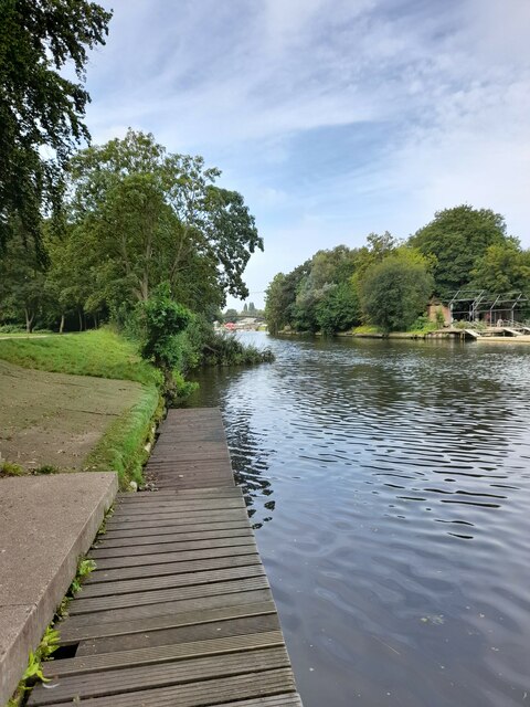
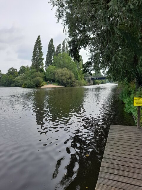
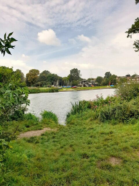
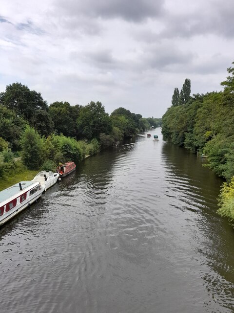
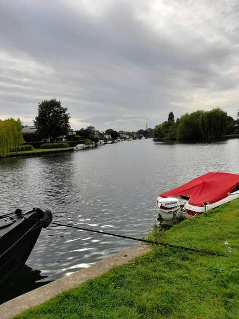
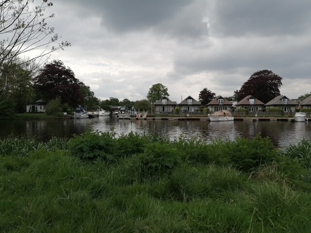
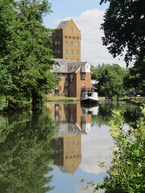
Pharaoh's Island, Middlesex, also known as Thorn Island, is a small and historically significant island located in the River Thames, England. With an area of approximately 3.4 acres, it is situated near Shepperton Lock and falls within the borough of Spelthorne.
The island derives its name from an influential incident that occurred in 1822, when the Egyptian ruler Muhammad Ali Pasha presented it to the British government as a gesture of goodwill. However, the island's ownership was later transferred to the Admiralty, and it became a part of the Shepperton Lock Hospital for Infectious Diseases. It served as a quarantine facility for sailors and travelers coming from regions affected by infectious diseases.
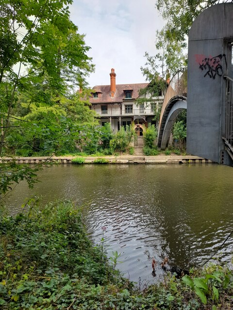
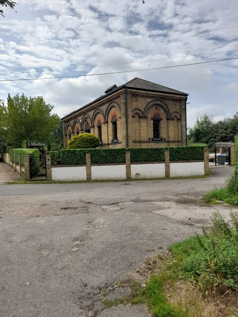
Pharaoh's Island is renowned for its unique architecture, featuring a Victorian style hospital building and a chapel. The hospital building was constructed in 1870 and has distinctive red brickwork, with a central tower and a clock face. The chapel, located adjacent to the hospital, exhibits Gothic Revival architecture and adds to the island's historical charm.
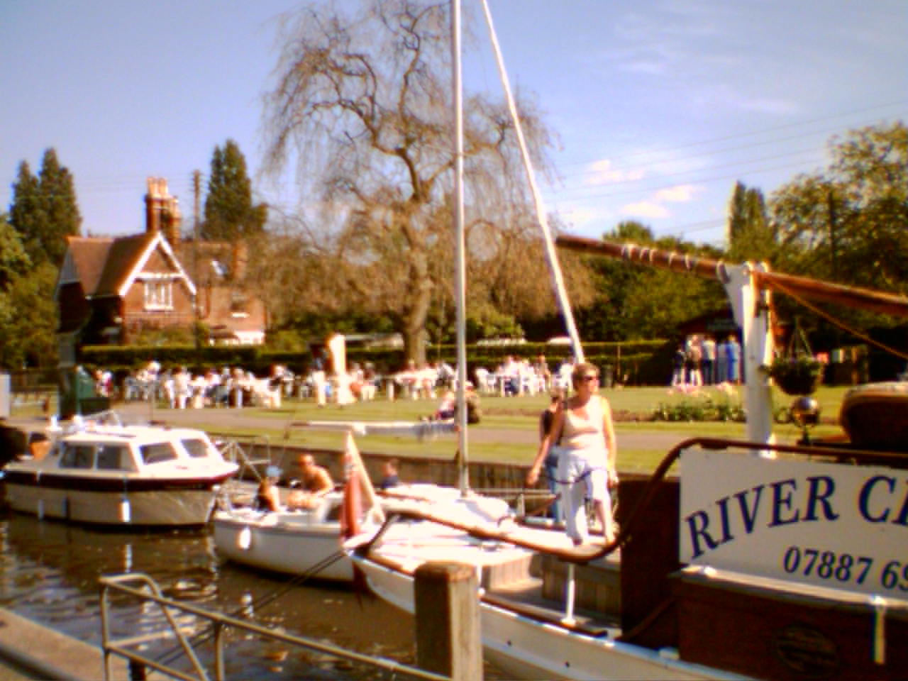
Today, Pharaoh's Island is privately owned and is a residential area, consisting of a handful of privately owned houses and cottages. The island offers a tranquil and picturesque environment, with its beautifully maintained gardens and views of the River Thames. Access to the island is by boat only, adding to its secluded and exclusive ambiance.
Pharaoh's Island, Middlesex, with its rich history and idyllic setting, continues to be a unique and sought-after location, attracting residents and visitors alike.
If you have any feedback on the listing, please let us know in the comments section below.
Pharaoh's Island Images
Images are sourced within 2km of 51.382385/-0.46493517 or Grid Reference TQ0665. Thanks to Geograph Open Source API. All images are credited.

Pharaoh's Island is located at Grid Ref: TQ0665 (Lat: 51.382385, Lng: -0.46493517)
Administrative County: Surrey
District: Spelthorne
Police Authority: Surrey
What 3 Words
///camera.allows.winner. Near Weybridge, Surrey
Nearby Locations
Related Wikis

Pharaoh's Island, River Thames
Pharaoh's Island is an island in the River Thames, in Surrey, England, 270 m (300 yd) upstream of Shepperton Lock. == Overview == The island has a length...

Hamhaugh Island
Hamhaugh Island is an island, historically known simply as Stadbury, in the River Thames in England south of Shepperton Lock, in Shepperton, Surrey....

River Bourne, Addlestone
The River Bourne is the name given to a Thames tributary in northwest Surrey, England which has a longer tributary, the Windle Brook, that rises nears...
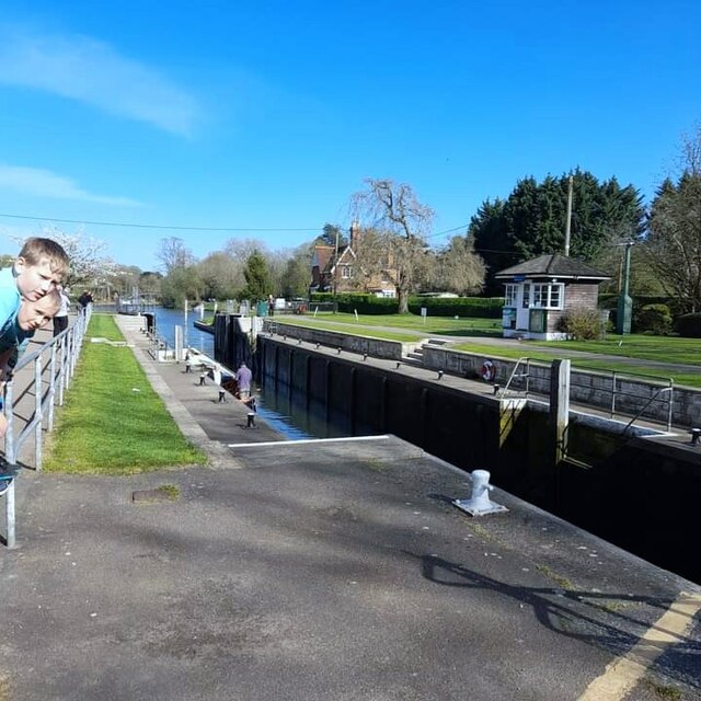
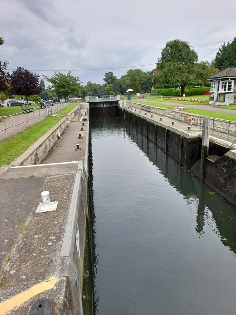
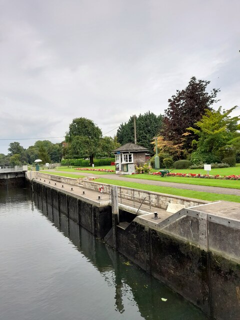
Shepperton Lock
Shepperton Lock is a lock on the River Thames, in England by the left bank at Shepperton, Surrey. It is across the river from Weybridge which is nearby...

Lock Island
Lock Island is an island in the River Thames in England connected to Shepperton Lock, near Shepperton. Facing the attached by lock-gate bridge mainland...

Shepperton to Weybridge Ferry
The Shepperton to Weybridge Ferry is a pedestrian and cycle ferry service across the River Thames in Surrey, England. The service has operated almost continuously...

Weybridge Ladies Amateur Rowing Club
Weybridge Ladies Amateur Rowing Club (WLARC) is a rowing club at the confluence of a mouth of the Wey and two weirstreams of the Thames, based at Boat...

River Bourne, Chertsey
The River Bourne or the Chertsey Bourne is in Berkshire and Surrey; it runs from sources in Windsor Great Park and Swinley Forest through to the River...
Nearby Amenities
Located within 500m of 51.382385,-0.46493517Have you been to Pharaoh's Island?
Leave your review of Pharaoh's Island below (or comments, questions and feedback).