Osberton

Settlement in Nottinghamshire Bassetlaw

England

Osberton

Private road on the Foljambe Estate The road is on the line of the runway of former RAF Worksop which was operational between 1943 and 1960. Although still shown on the OS map few traces of the airfield are visible today.
Private road on the Foljambe Estate Credit: Graham Hogg

Osberton is a small village located in the county of Nottinghamshire, England. Situated approximately 9 miles northeast of Worksop, it falls within the local government district of Bassetlaw. With a population of around 200 people, Osberton is known for its peaceful and rural atmosphere.

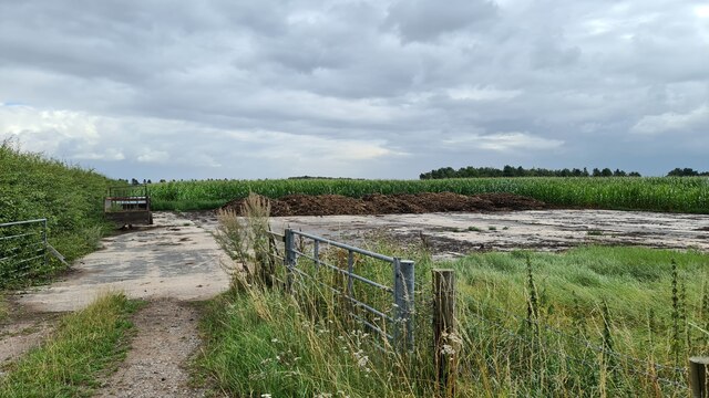
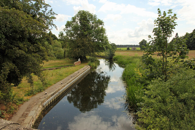
The village is surrounded by picturesque countryside, with rolling hills and lush green fields stretching as far as the eye can see. It is a popular destination for nature lovers and those seeking a tranquil escape from the hustle and bustle of city life. The nearby Sherwood Forest, famous for its association with the legendary outlaw Robin Hood, offers visitors the chance to explore ancient woodlands and discover historic landmarks.

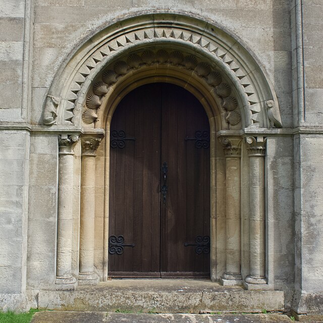
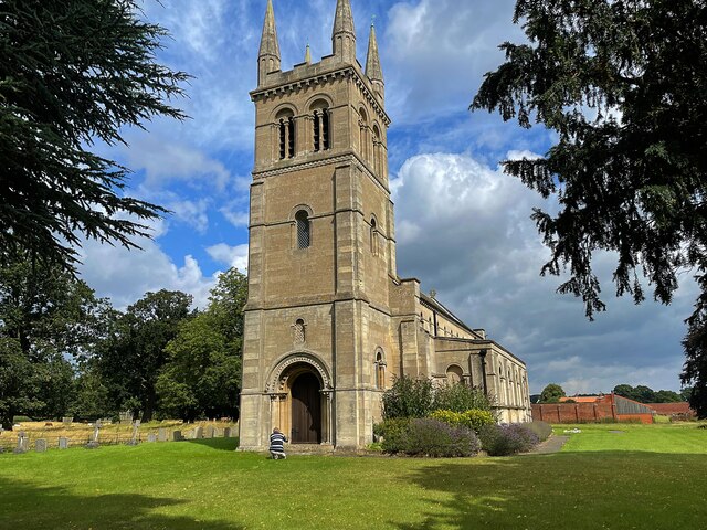
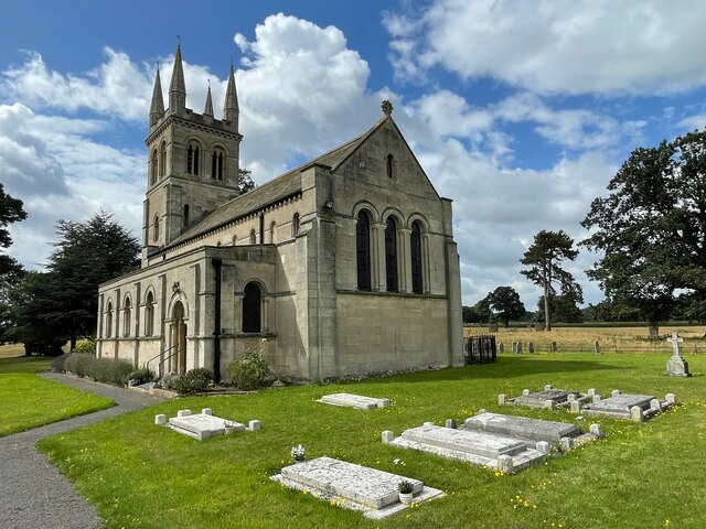
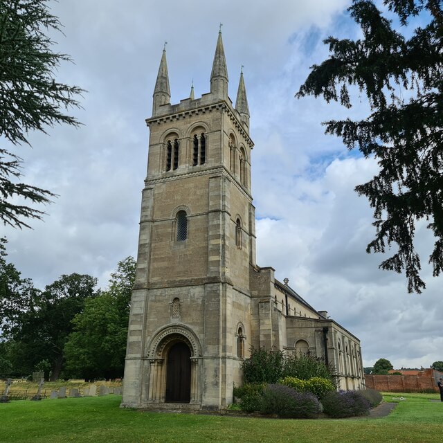
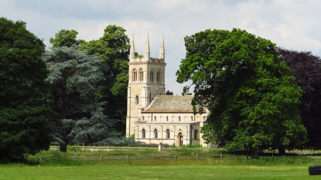
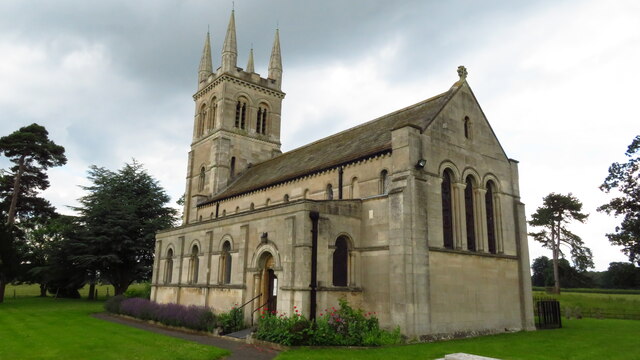
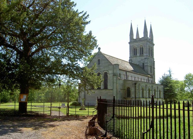
One of the notable features of Osberton is the grand Osberton House, a Grade II listed country house that dates back to the 18th century. The house is set within extensive grounds and is known for its beautiful architecture and elegant gardens. Currently, Osberton House is privately owned and not open to the public.

The village itself has a small community feel, with a handful of residential properties and a local pub, providing a social hub for residents and visitors alike. While Osberton may be small in size, its charm and natural beauty make it an appealing destination for those seeking a peaceful retreat in the heart of Nottinghamshire.

If you have any feedback on the listing, please let us know in the comments section below.
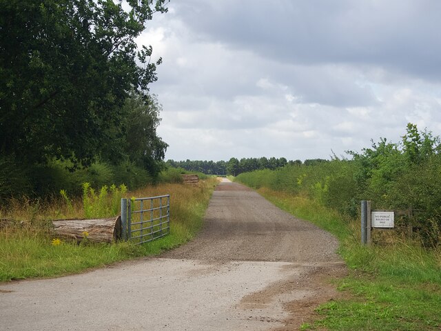
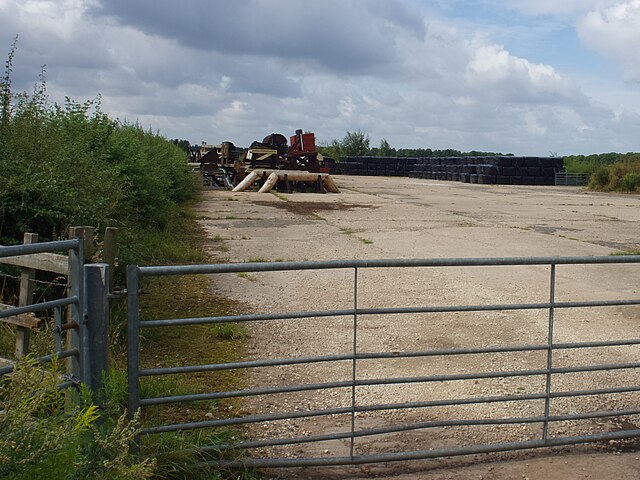
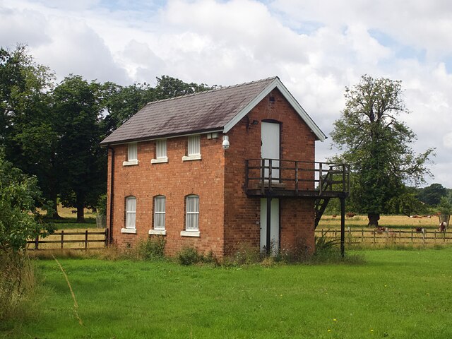
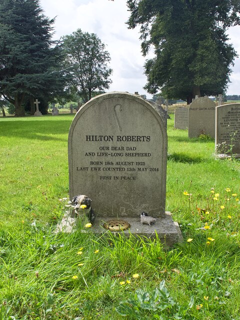
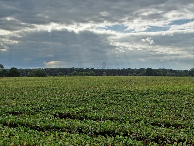
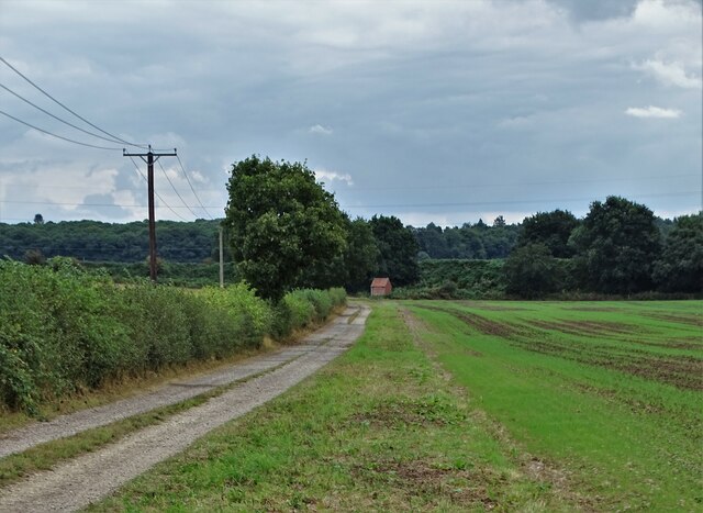
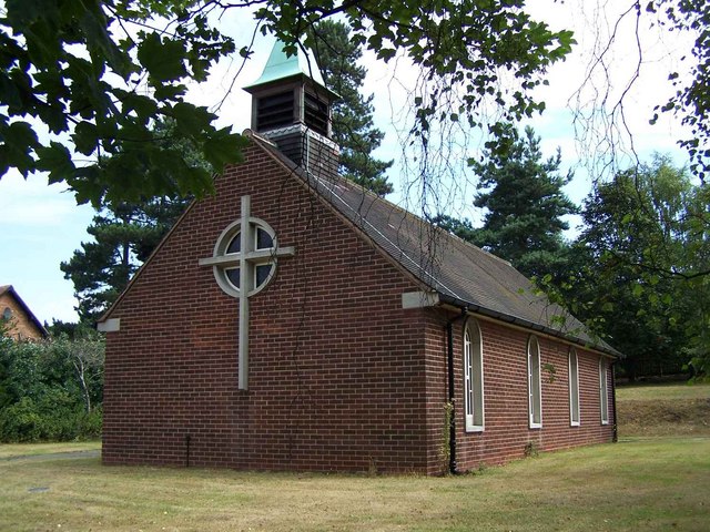
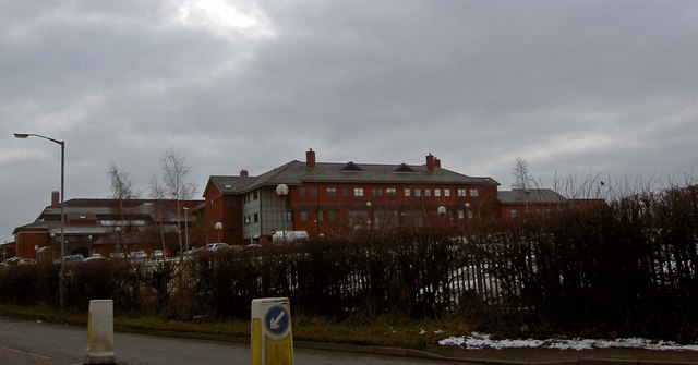
Osberton Images

Images are sourced within 2km of 53.30835/-1.0556148 or Grid Reference SK6379. Thanks to Geograph Open Source API. All images are credited.

Private road on the Foljambe Estate The road is on the line of the runway of former RAF Worksop which was operational between 1943 and 1960. Although still shown on the OS map few traces of the airfield are visible today.
Private road on the Foljambe Estate
The road is on the line of the runway of former RAF Worksop which was operational between 1943 and 1960. Although still shown on the OS map few traces of the airfield are visible today.
Farm storage   Once the runway of RAF Worksop which was operational between 1943 and 1960. Although still shown on the OS map few traces of the airfield are visible today.
The area holds bales of silage and horse jumping fences.
Farm storage
Once the runway of RAF Worksop which was operational between 1943 and 1960. Although still shown on the OS map few traces of the airfield are visible today. The area holds bales of silage and horse jumping fences.
Mystery building in Scofton With barred windows on the ground floor, louvred shutters on the upper floor and a security camera that monitored our movements as we walked along the path to the church I wonder what's inside?
Mystery building in Scofton
With barred windows on the ground floor, louvred shutters on the upper floor and a security camera that monitored our movements as we walked along the path to the church I wonder what's inside?
A shepherd's grave In the graveyard of the church of St John.
A shepherd's grave
In the graveyard of the church of St John.
The west door of St John's Church.  Look carefully and you will see carvings of an owl and a cat at the feet of the arch - these are said to be the inspiration for Edward Lear's nonsense poem 'The Owl and the Pussycat'.
The west door of St John's Church.
Look carefully and you will see carvings of an owl and a cat at the feet of the arch - these are said to be the inspiration for Edward Lear's nonsense poem 'The Owl and the Pussycat'.
The church of St John A grade II listed parish church built in 1833 as a private chapel to Osberton Hall. My fellow geographer is apparently saying his prayers at the west door.
The church of St John
A grade II listed parish church built in 1833 as a private chapel to Osberton Hall. My fellow geographer is apparently saying his prayers at the west door.
Foljambe family graves The Foljambes, owners of the Osberton Hall estate, are buried by the east end of the church. Most of these graves are aligned east-west but two are aligned north-south. I wonder why?
Foljambe family graves
The Foljambes, owners of the Osberton Hall estate, are buried by the east end of the church. Most of these graves are aligned east-west but two are aligned north-south. I wonder why?
Former RAF Worksop runway Now used for agricultural storage
Former RAF Worksop runway
Now used for agricultural storage
St John's, Scofton-with-Osberton
Scofton - Church of St John the Baptist
Osberton Lock Osberton Lock, number 53 and Keepers Cottage on the Chesterfield Canal at Scofton
Osberton Lock
Osberton Lock, number 53 and Keepers Cottage on the Chesterfield Canal at Scofton
Chesterfield Canal View east from Osberton Lock bridge
Chesterfield Canal
View east from Osberton Lock bridge
Beet field west of Osberton Grange
South of Osberton Grange A view to the railway embannkment and railway workers' shed.
South of Osberton Grange
A view to the railway embannkment and railway workers' shed.
In Manton Wood Enterprise Park
A pit head sculpture Near the site of the former Manton colliery.
A pit head sculpture
Near the site of the former Manton colliery.
A57 in Top Wood, heading towards Worksop
Show me another place!

Osberton is located at Grid Ref: SK6379 (Lat: 53.30835, Lng: -1.0556148)

Administrative County: Nottinghamshire

District: Bassetlaw

Police Authority: Nottinghamshire

What 3 Words

///direction.courier.leaned. Near Hardwick Village, Nottinghamshire

Related Wikis

Scofton

Scofton is a hamlet in the Bassetlaw district of northern Nottinghamshire, England. It is 130 miles (210 km) north west of London, 25 miles (40 km) north...

Manton Colliery

Manton Colliery was a coal mine in north Nottinghamshire (Bassetlaw). The site was also known as Manton Wood Colliery. == History == The land was owned...

Checker House railway station

Checker House railway station was a station between Retford and Worksop, Nottinghamshire, England which served the village of Ranby from 1852 to 1931....

RAF Worksop

Royal Air Force Worksop, or more simply RAF Worksop, is a former Royal Air Force satellite station located at Scofton, 2.8 miles (4.5 km) north east of...

Ranby, Nottinghamshire

Ranby is a small village in the north of Nottinghamshire, next to the Chesterfield Canal and adjacent to the A1. It is in the civil parish of Babworth...

Bracebridge, Nottinghamshire

Bracebridge is an undefined area of Worksop in Nottinghamshire, lying between Manton to the south, and Kilton to the north, lying on the Chesterfield Canal...

Bilby, Nottinghamshire

Bilby is a hamlet in Nottinghamshire, England. It is part of the civil parish of Barnby Moor. It is located 5 miles west of Retford, close to the A1 road...

Kilton, Nottinghamshire

Kilton is a large suburban area in the northeast of the market town of Worksop in the ceremonial county of Nottinghamshire in the East Midlands of England...

Nearby Amenities

Located within 500m of 53.30835,-1.0556148
Bus Stop
Osberton Grange
Bus: yes
Naptan AtcoCode: 3300BA0121
Naptan Bearing: NE
Naptan CommonName: Osberton Grange
Naptan Indicator: opp
Naptan Landmark: Osberton Grange
Naptan NaptanCode: ntsdpwpm
Naptan Notes: none
Naptan Street: Retford Road
Naptan Verified: no
Public Transport: platform
Source: naptan_import
Lat/Long: 53.3084094/-1.0556413
Bus Stop
Osberton Grange
Bus: yes
Naptan AtcoCode: 3300BA0122
Naptan Bearing: SW
Naptan CommonName: Osberton Grange
Naptan Indicator: adj
Naptan Landmark: Osberton Grange
Naptan NaptanCode: ntsdpwpt
Naptan Notes: none
Naptan Street: Retford Road
Naptan Verified: no
Public Transport: platform
Source: naptan_import
Lat/Long: 53.3082831/-1.0555841
Bus Stop
East Lodge
Bus: yes
Naptan AtcoCode: 3300BA0123
Naptan Bearing: SW
Naptan CommonName: East Lodge
Naptan Crossing: East Lodge
Naptan Indicator: opp
Naptan NaptanCode: ntsdpwpw
Naptan Notes: BW--3300BA0809
Naptan Street: Retford Road
Naptan Verified: no
Public Transport: platform
Source: naptan_import
Lat/Long: 53.3105051/-1.0512574
East Lodge
Naptan AtcoCode: 3300BA0809
Naptan Bearing: NE
Naptan BusStopType: CUS
Naptan CommonName: East Lodge
Naptan Indicator: o/s
Naptan Landmark: East Lodge
Naptan NaptanCode: ntsgjpdj
Naptan Notes: CUS--3300BA0123
Naptan Street: Retford Road
Naptan Verified: no
Source: naptan_import
Lat/Long: 53.3106571/-1.0511489
The data included in this document is from www.openstreetmap.org. The data is made available under ODbL.

Have you been to Osberton?

Leave your review of Osberton below (or comments, questions and feedback).