Martin Dales
Settlement in Lincolnshire North Kesteven
England
Martin Dales
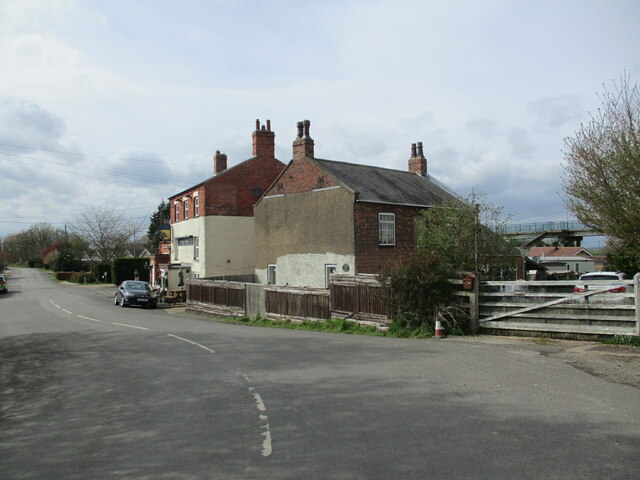
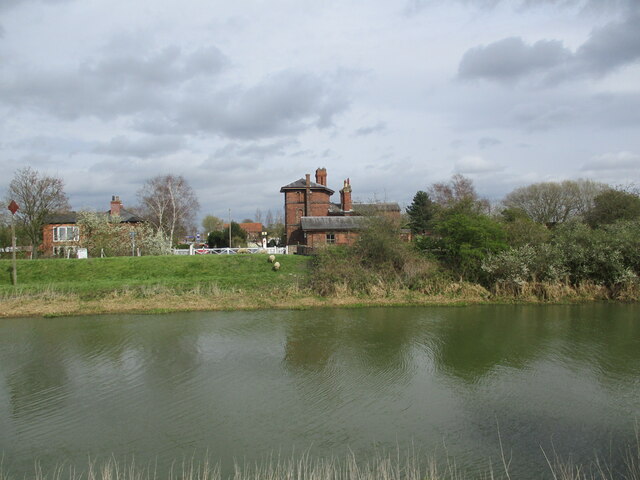
Martin Dales is a small village located in the county of Lincolnshire, England. Situated approximately 2 miles northwest of the town of Woodhall Spa, the village lies on the eastern bank of the River Witham. The name "Martin Dales" is derived from the Old English word "dal," meaning valley, and refers to its picturesque location nestled within the rolling hills of the region.
The village is home to a close-knit community, with a population of around 300 residents. The landscape surrounding Martin Dales is predominantly rural, characterized by lush green fields, meadows, and woodland areas. The village itself is known for its charming traditional houses, many of which date back to the 19th century, giving the area a quaint and timeless feel.
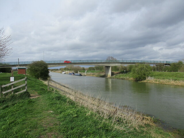
A notable feature of Martin Dales is the River Witham, which flows through the village. The river provides a serene and scenic setting for leisure activities such as fishing, boating, and riverside walks. Martin Dales is also located near a number of nature reserves, including Kirkby Moor and Moor Farm, which offer ample opportunities for wildlife watching and exploring the local flora and fauna.
While Martin Dales may be a relatively small village, it benefits from its proximity to neighboring towns and amenities. The nearby town of Woodhall Spa provides a range of services, including shops, schools, and medical facilities. Additionally, the village is well-connected to the wider area, with good road links to Lincoln and other local towns.
Overall, Martin Dales offers a peaceful and idyllic setting, making it an attractive place to live for those seeking a rural lifestyle amidst the natural beauty of Lincolnshire.
If you have any feedback on the listing, please let us know in the comments section below.
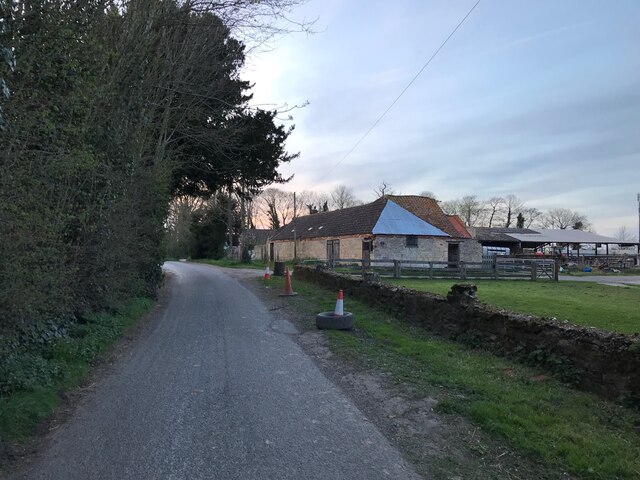
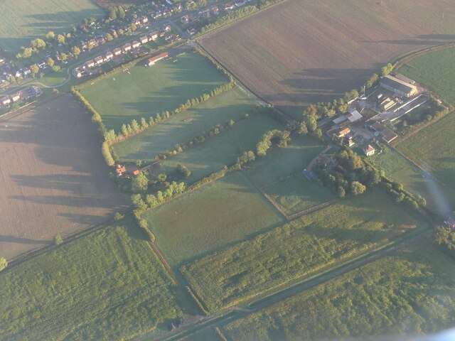
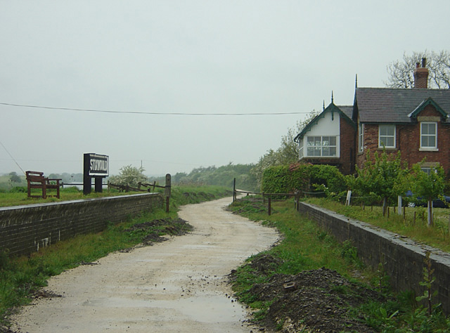
Martin Dales Images
Images are sourced within 2km of 53.144649/-0.253649 or Grid Reference TF1662. Thanks to Geograph Open Source API. All images are credited.


Martin Dales is located at Grid Ref: TF1662 (Lat: 53.144649, Lng: -0.253649)
Division: Parts of Kesteven
Administrative County: Lincolnshire
District: North Kesteven
Police Authority: Lincolnshire
What 3 Words
///included.reunion.performed. Near Woodhall Spa, Lincolnshire
Nearby Locations
Related Wikis
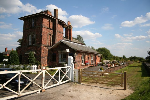
Woodhall Junction railway station
Woodhall Junction railway station (previously Kirkstead railway station) is a former station in Woodhall, Lincolnshire. It served as a junction where several...
Lincolnshire loop line
The Lincolnshire loop line was a railway built by the Great Northern Railway, that linked Peterborough to Gainsborough via Spalding, Boston and Lincoln...

Kirkstead Abbey
Kirkstead Abbey is a former Cistercian monastery in Kirkstead, Lincolnshire, England. The monastery was founded in 1139 by Hugh Brito, (or Hugh son of...
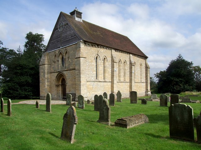
St Leonard's Without
The church of St Leonard's Without is a small chapel built between 1230 and 1240 in the parish of Kirkstead, Lincolnshire, close to Woodhall Spa. The chapel...
Nearby Amenities
Located within 500m of 53.144649,-0.253649Have you been to Martin Dales?
Leave your review of Martin Dales below (or comments, questions and feedback).