Martin
Settlement in Kent Dover
England
Martin

Martin, Kent is a small village located in the county of Kent, in southeastern England. Situated approximately 6 miles south of the city of Canterbury, the village is nestled within the picturesque countryside of the Kent Downs Area of Outstanding Natural Beauty. With a population of just over 500 residents, Martin exudes a quiet and peaceful atmosphere, making it an ideal destination for those seeking a tranquil retreat.
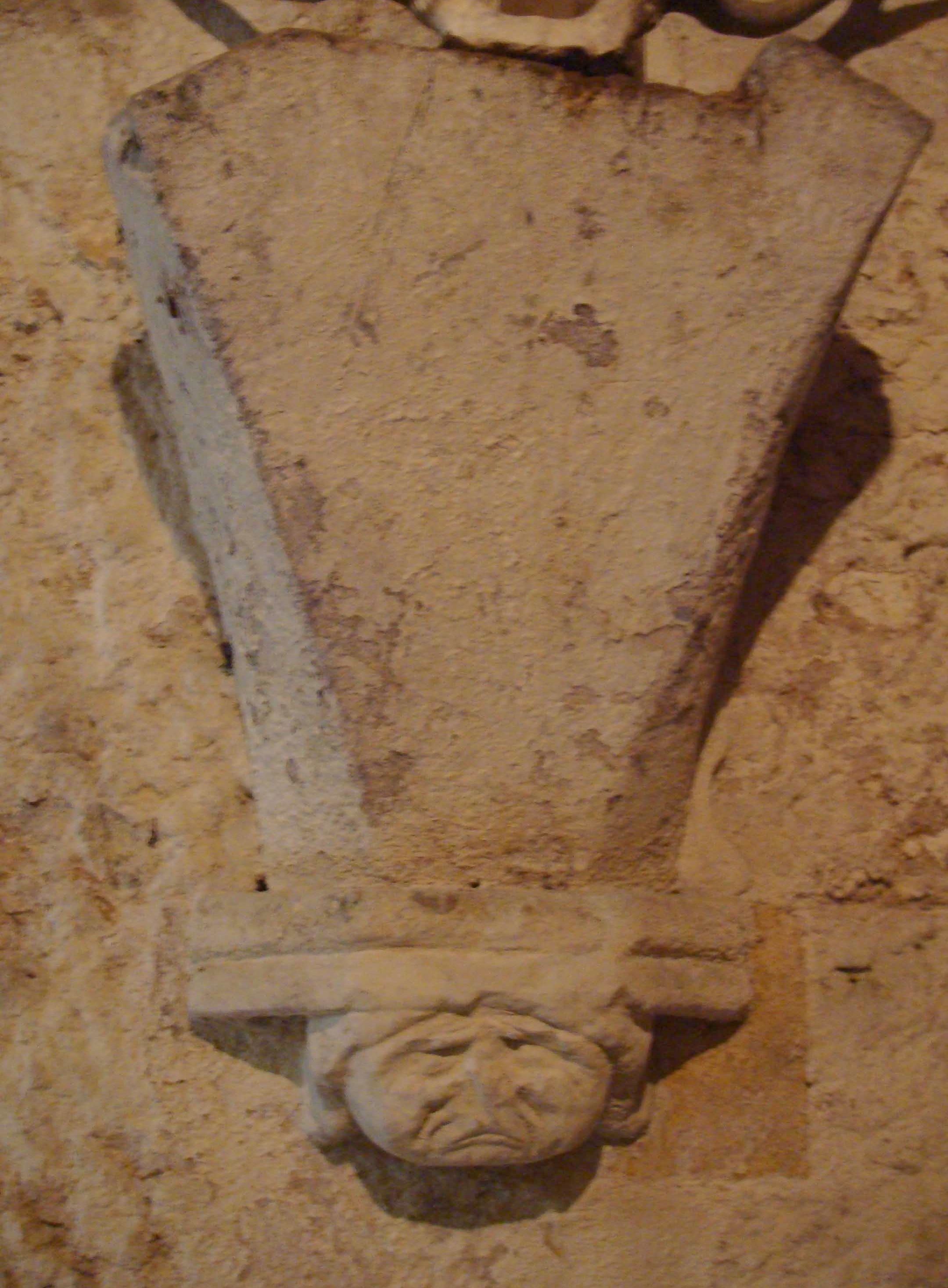
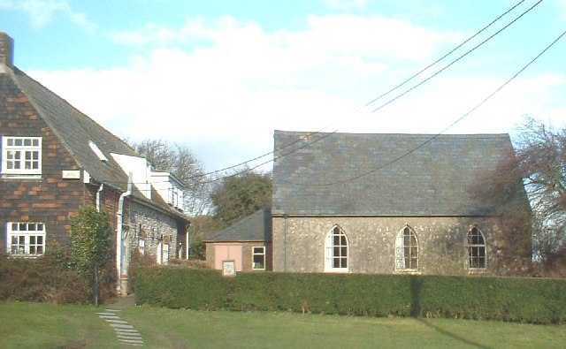
The village of Martin is characterized by its charming and quintessentially English architecture. Traditional thatched-roof cottages, historic houses, and beautiful gardens can be found throughout the area, giving it a timeless and idyllic feel. The village church, St. Martin's Church, is a prominent landmark, dating back to the 14th century and featuring stunning architectural details.
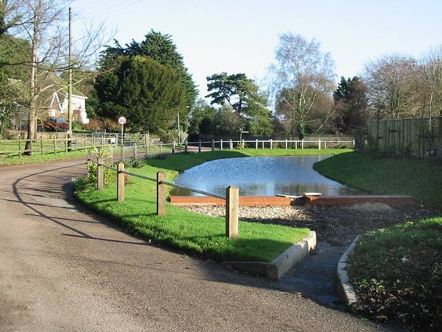
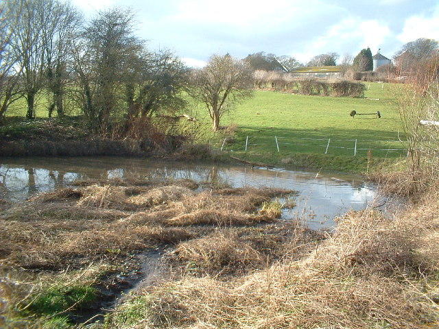
Nature lovers will find themselves in paradise in Martin, as the village is surrounded by lush green fields, rolling hills, and scenic walking trails. The nearby Kent Downs offer opportunities for hiking, cycling, and exploring the stunning countryside. Additionally, Martin is in close proximity to several nature reserves and wildlife sanctuaries, providing ample opportunities for birdwatching and spotting local wildlife.
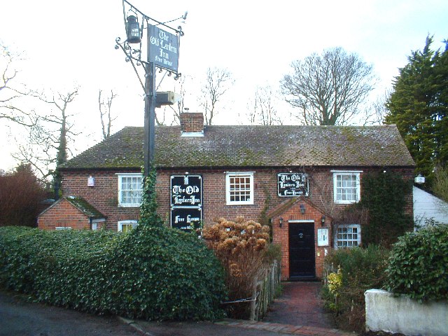
Despite its small size, Martin boasts a close-knit and active community. The village is home to a local pub, The Red Lion, where residents and visitors can gather for a pint and a hearty meal. Various community events and activities take place throughout the year, fostering a strong sense of community spirit.
Overall, Martin, Kent is a charming and peaceful village that offers a serene escape from the hustle and bustle of city life. Visitors can expect beautiful scenery, historic charm, and a warm and welcoming community.
If you have any feedback on the listing, please let us know in the comments section below.
Martin Images
Images are sourced within 2km of 51.174107/1.345583 or Grid Reference TR3346. Thanks to Geograph Open Source API. All images are credited.


Martin is located at Grid Ref: TR3346 (Lat: 51.174107, Lng: 1.345583)
Administrative County: Kent
District: Dover
Police Authority: Kent
What 3 Words
///scrapped.toned.nuzzled. Near Dover, Kent
Nearby Locations
Related Wikis
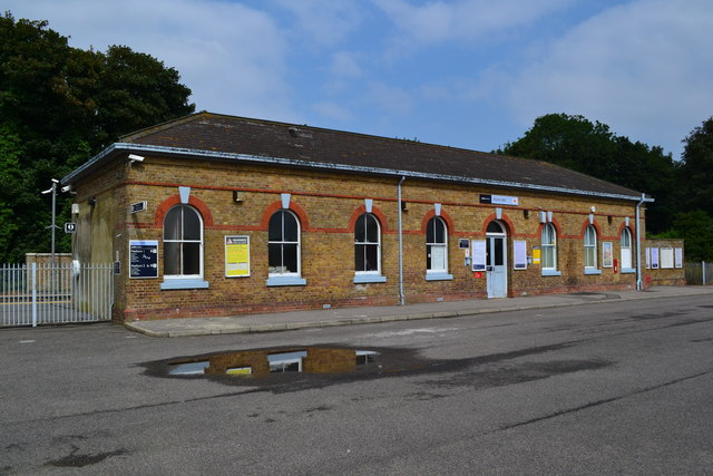
Martin Mill railway station
Martin Mill railway station serves the small village of Martin Mill in East Kent. The station and all trains serving it are operated by Southeastern. The...
Martin, Kent
Martin is a hamlet north-east of Dover in the county of Kent in England. The nearby village of Martin Mill is situated on the railway between Dover and...

Martin Mill
Martin Mill is a village in east Kent, England. It takes its name from the nearby village of Martin. Martin Mill railway station is on the Dover to Deal...
Langdon Abbey
Langdon Abbey (grid reference TR329468) was a Premonstratensian abbey near West Langdon, Kent, founded in about 1192 and dissolved in 1535, reportedly...
Langdon, Kent
Langdon is a civil parish in the Dover district of Kent, England, and contains the villages of East Langdon and West Langdon, and the hamlets of Martin...

East Langdon
East Langdon is a village and former civil parish, now in the parish of Langdon, in the Dover district of Kent, England. It is 3 miles (5 km) northeast...
West Langdon
West Langdon is a village and former civil parish, now in the parish of Langdon, in the Dover district of Kent, England. It is located five miles north...
Sutton, Kent
Sutton is a village and civil parish near Dover in Kent, England. In 1935 this village became a parish when the small settlements of Studdal, Sutton, Ashley...
Nearby Amenities
Located within 500m of 51.174107,1.345583Have you been to Martin?
Leave your review of Martin below (or comments, questions and feedback).