Oaktree Hill
Settlement in Yorkshire Hambleton
England
Oaktree Hill
Oaktree Hill is a charming village nestled in the picturesque countryside of Yorkshire, England. Located in the heart of the county, it offers a tranquil and idyllic setting for residents and visitors alike. The village is known for its rich history, stunning natural beauty, and warm community spirit.
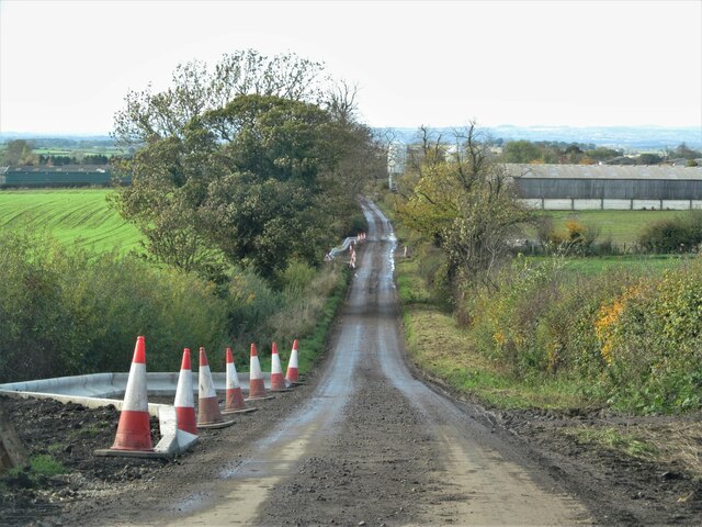
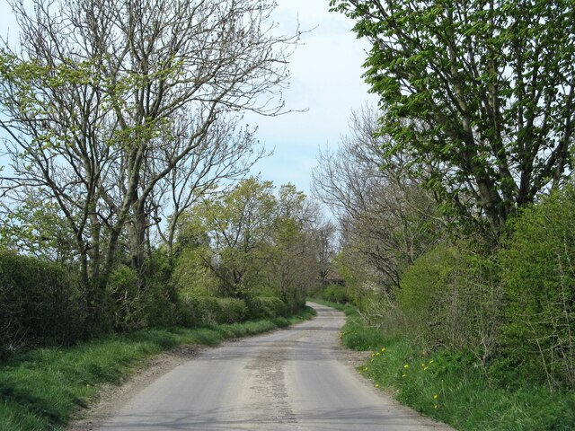
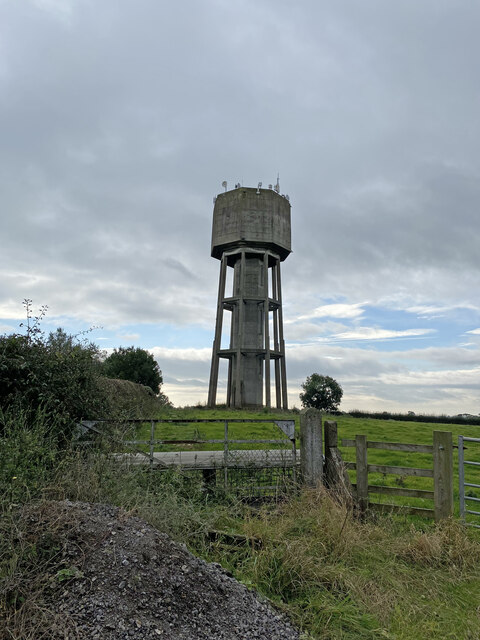
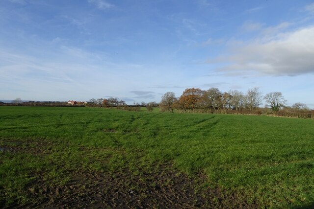
Surrounded by rolling green hills and lush fields, Oaktree Hill is a haven for nature lovers and outdoor enthusiasts. The area is dotted with ancient oak trees, giving the village its name and adding to its rustic charm. Walking trails and footpaths crisscross the landscape, providing ample opportunities for leisurely strolls and invigorating hikes.
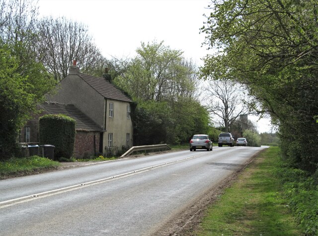
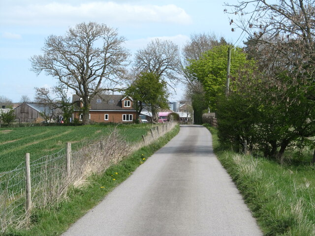
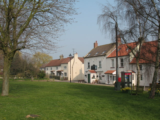
The village itself exudes a quaint and welcoming atmosphere. Traditional stone cottages line the streets, their well-tended gardens bursting with colorful flowers. The local pub, The Oak Inn, serves as a focal point for socializing and enjoying traditional Yorkshire fare, accompanied by a pint of locally brewed ale.
Oaktree Hill is also home to a range of amenities and services that cater to the needs of its residents. The village boasts a primary school, a post office, and a small grocery store, ensuring that daily necessities are easily accessible. Additionally, a community center hosts various events and activities throughout the year, fostering a strong sense of community and belonging.
With its natural beauty, rich history, and close-knit community, Oaktree Hill offers a peaceful and fulfilling lifestyle. Whether exploring the countryside, soaking in the village's charm, or participating in community events, visitors to Oaktree Hill are sure to be captivated by its timeless allure.
If you have any feedback on the listing, please let us know in the comments section below.
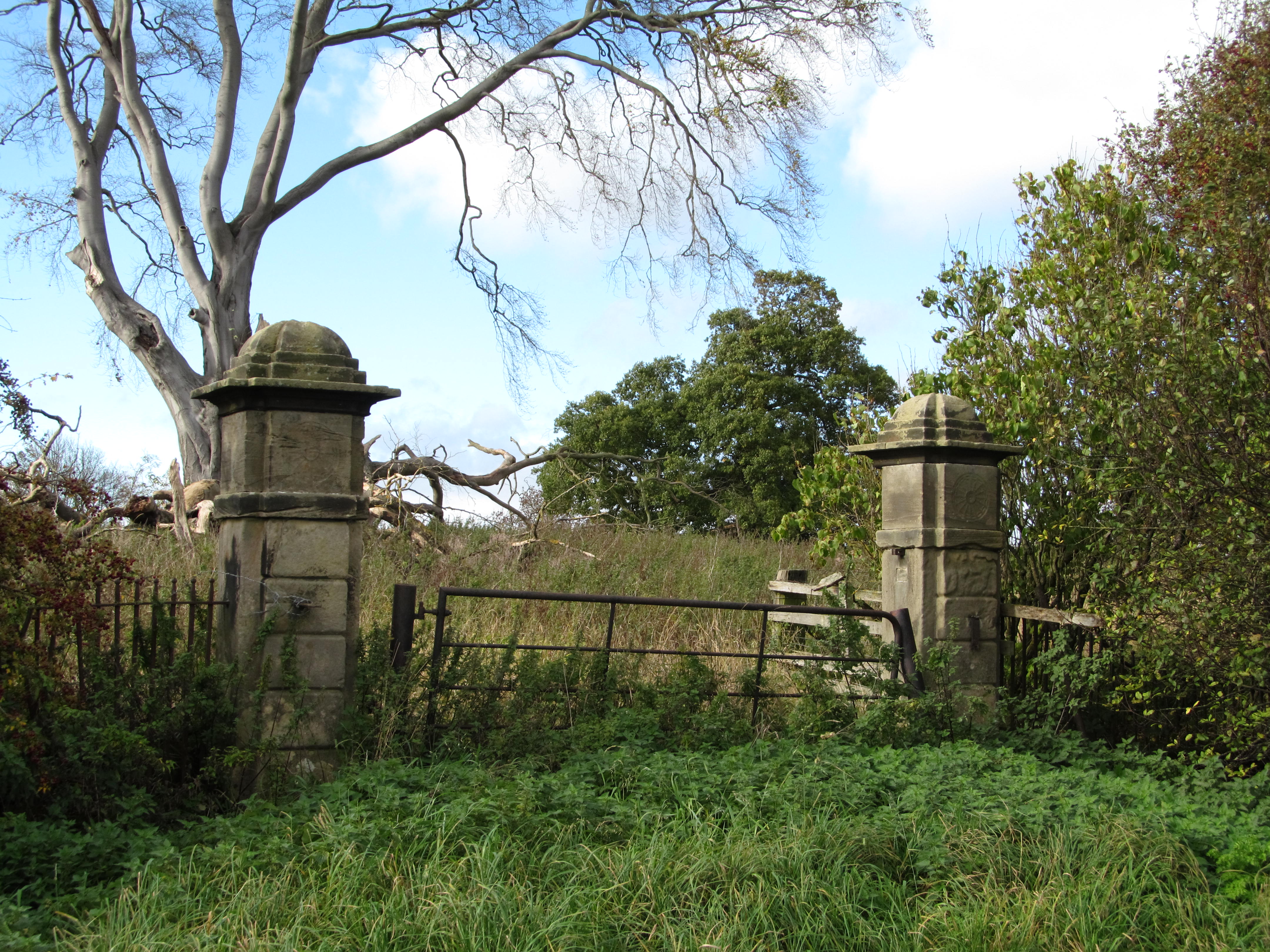
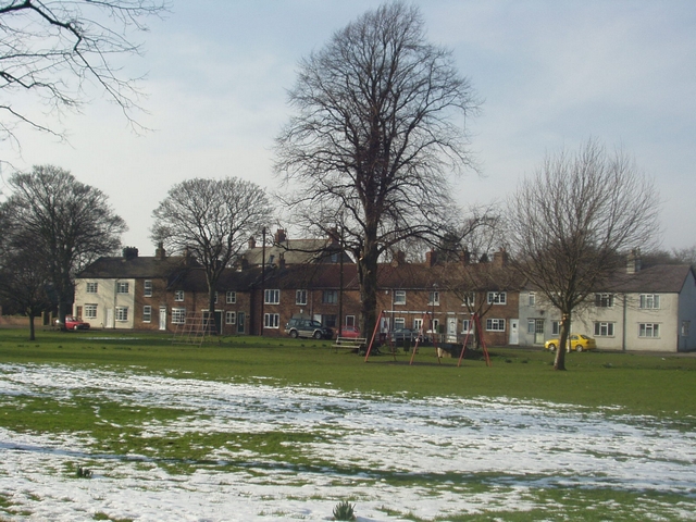
Oaktree Hill Images
Images are sourced within 2km of 54.383296/-1.4461498 or Grid Reference SE3698. Thanks to Geograph Open Source API. All images are credited.


Oaktree Hill is located at Grid Ref: SE3698 (Lat: 54.383296, Lng: -1.4461498)
Division: North Riding
Administrative County: North Yorkshire
District: Hambleton
Police Authority: North Yorkshire
What 3 Words
///slippery.copes.remembers. Near Brompton, North Yorkshire
Nearby Locations
Related Wikis
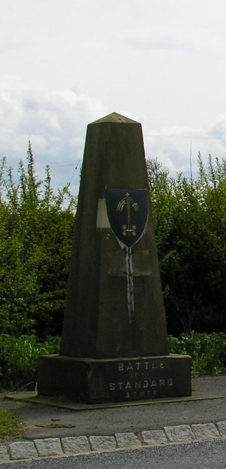
Battle of the Standard
The Battle of the Standard, sometimes called the Battle of Northallerton, took place on 22 August 1138 on Cowton Moor near Northallerton in Yorkshire,...

Danby Wiske railway station
Danby Wiske railway station was a station on the East Coast Main Line. It was located approximately 0.5 miles (0.8 km) east of Danby Wiske, in the Hambleton...
Danby Wiske
Danby Wiske is a village and the main settlement in the civil parish of Danby Wiske with Lazenby, in North Yorkshire, England. The village lies 3.7 miles...
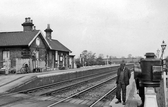
Brompton railway station
Brompton railway station was a railway station that served the community of Brompton, 1 mile (1.6 km) north east of Northallerton in North Yorkshire, England...

St Lawrence's Church, Hutton Bonville
The Church of St Lawrence, Hutton Bonville, North Yorkshire, England is a redundant, former estate church which is now in the care of the Friends of Friendless...
Hutton Bonville
Hutton Bonville is a hamlet and civil parish in the Hambleton District of North Yorkshire, England. The population of the civil parish as of the 2011 census...
Brompton, west North Yorkshire
Brompton is a village, civil parish and electoral ward in the Hambleton District of North Yorkshire, England, about 1.6 miles (2.6 km) north of the county...

Deighton, Hambleton
Deighton is a village and civil parish in the Hambleton District of North Yorkshire, England. It is about 6 miles north of Northallerton and near the A167...
Nearby Amenities
Located within 500m of 54.383296,-1.4461498Have you been to Oaktree Hill?
Leave your review of Oaktree Hill below (or comments, questions and feedback).