North Corner
Settlement in Sussex Wealden
England
North Corner
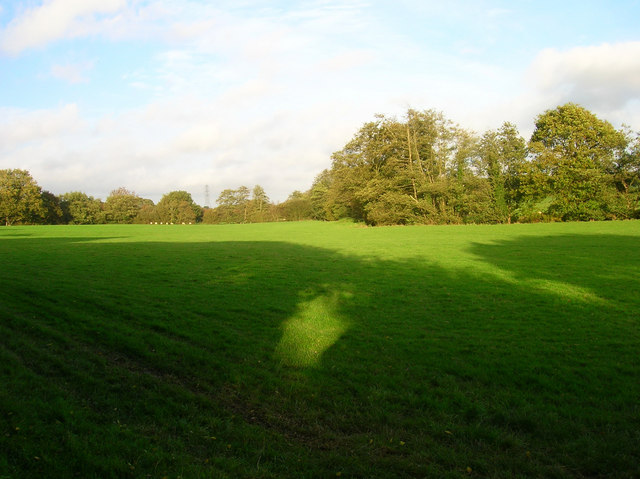
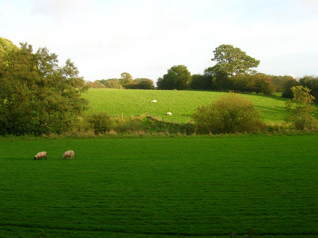
North Corner is a small village located in the county of Sussex, England. Situated in the southeastern part of the country, it falls within the administrative boundaries of the Chichester District Council. The village is nestled amidst the picturesque countryside, surrounded by rolling hills and lush green fields.
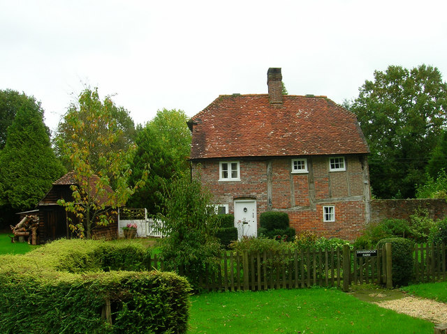
Despite its small size, North Corner boasts a rich history, with evidence of human settlement dating back to the Roman era. The village is known for its charming traditional cottages, many of which were built in the 18th and 19th centuries, adding to its quaint and idyllic character.
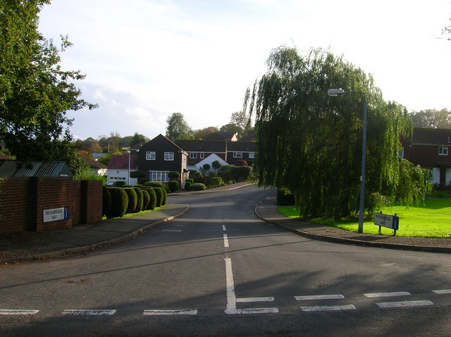
The village is primarily residential, with a close-knit community of approximately 300 residents. It offers a peaceful and tranquil atmosphere that appeals to those seeking a quiet and rural lifestyle. The surrounding natural beauty provides ample opportunities for outdoor activities such as hiking, cycling, and exploring the nearby woodlands.
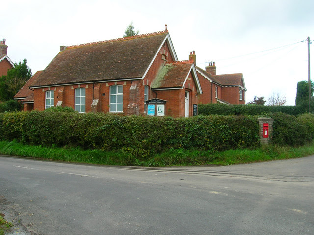
While North Corner may lack some amenities commonly found in larger towns, it benefits from its proximity to nearby villages and towns where residents can access essential services. The village also benefits from good transport links, with regular bus services connecting it to neighboring areas.
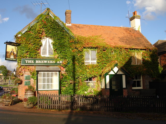
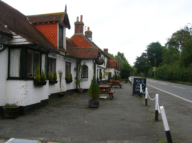
North Corner is a close community, with several local events and gatherings organized throughout the year, fostering a sense of community spirit. The village also has a small church and a local pub, which serves as a social hub for residents and visitors alike.
Overall, North Corner offers a peaceful and scenic retreat for those seeking a slower pace of life, surrounded by the beauty of the Sussex countryside.
If you have any feedback on the listing, please let us know in the comments section below.
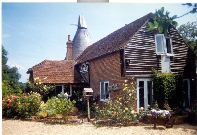
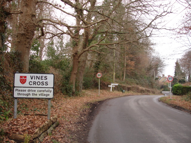
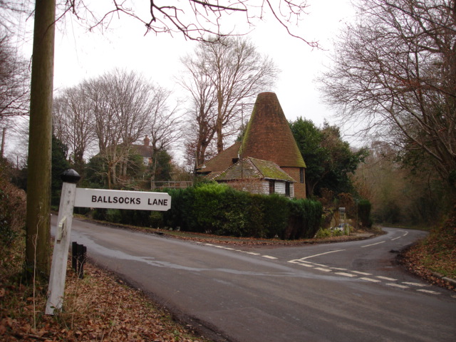
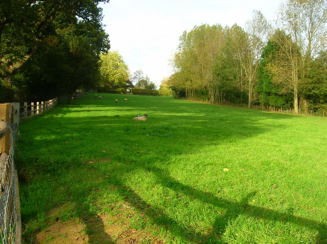
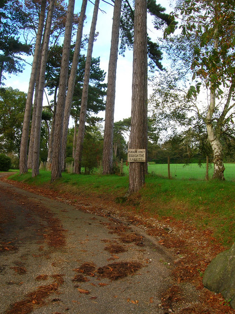
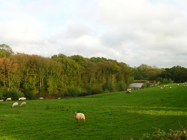
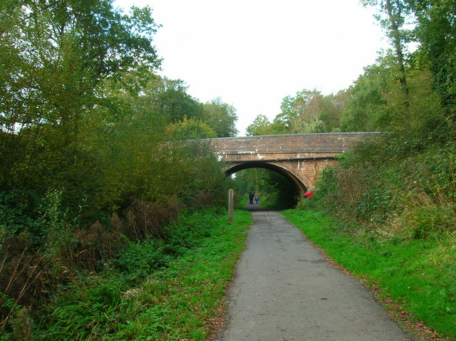
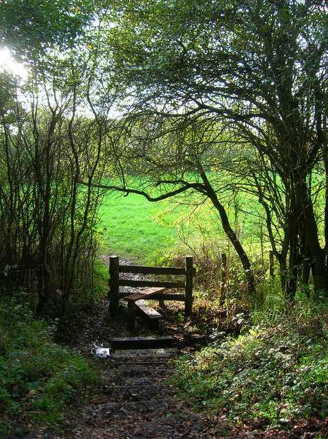
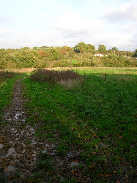
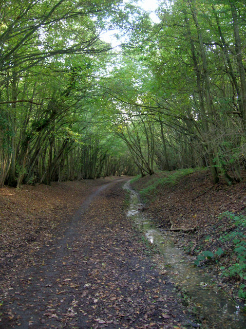
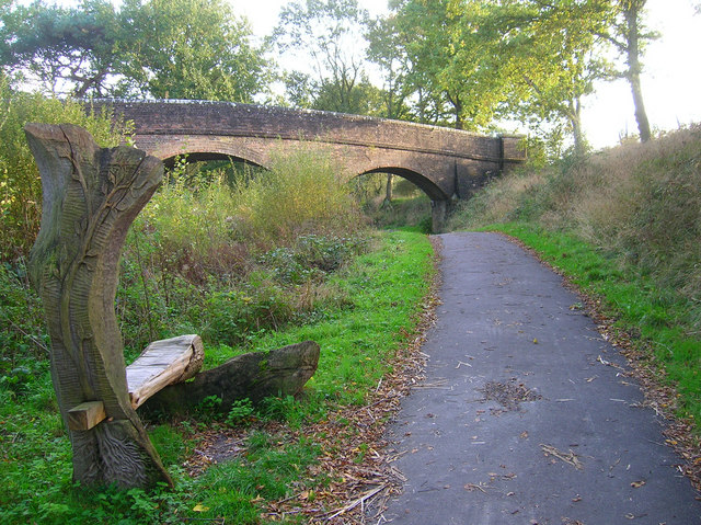
North Corner Images
Images are sourced within 2km of 50.920134/0.26268892 or Grid Reference TQ5915. Thanks to Geograph Open Source API. All images are credited.
North Corner is located at Grid Ref: TQ5915 (Lat: 50.920134, Lng: 0.26268892)
Administrative County: East Sussex
District: Wealden
Police Authority: Sussex
What 3 Words
///image.afterglow.campus. Near Horam, East Sussex
Nearby Locations
Related Wikis

Horam
Horam is a village, electoral ward and civil parish in the Wealden District of East Sussex, situated three miles (4.8 km) south of Heathfield. Included...
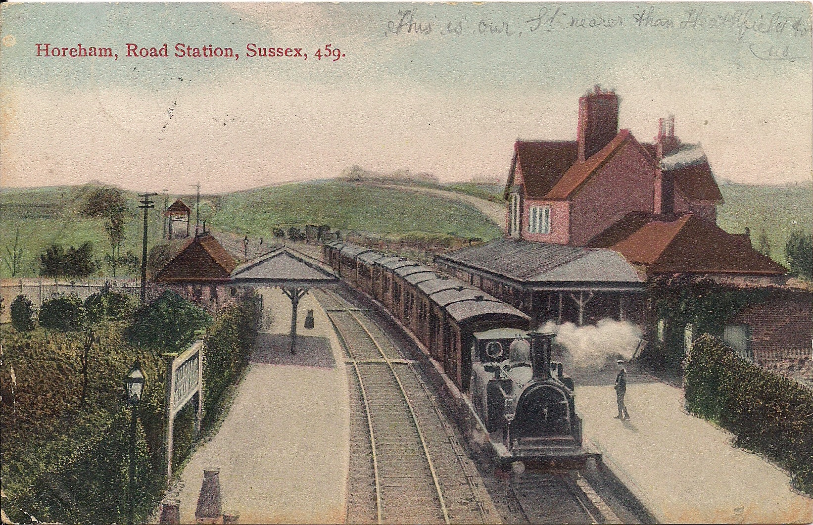
Horam railway station
Horam railway station was on the Cuckoo Line between Hellingly and Heathfield, serving the village of Horam. == History == The station was opened by the...

Gun Hill, East Sussex
Gun Hill is a hamlet in the civil parish of Chiddingly in the Wealden district of East Sussex, England. It is one of the seven hills of the parish in which...

Warbleton
Warbleton is a village and civil parish in the Wealden district of East Sussex, England. Within its bounds are three other settlements. It is located south...
Nearby Amenities
Located within 500m of 50.920134,0.26268892Have you been to North Corner?
Leave your review of North Corner below (or comments, questions and feedback).