North Balfern

Settlement in Wigtownshire

Scotland

North Balfern

Bluebells in a glade in The Forest With walks in this Forest Commission Land.
Bluebells in a glade in The Forest Credit: Russel Wills

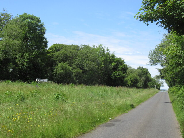
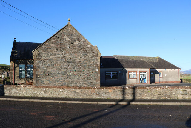
North Balfern is a charming village located in the Wigtownshire region of southwestern Scotland. Situated on the picturesque shores of the Solway Firth, this tranquil community offers stunning views of the surrounding countryside and the nearby coast.

With a population of around 500 residents, North Balfern exudes a tight-knit and friendly atmosphere. The village is characterized by its traditional stone houses and well-maintained gardens, which lend it a timeless and idyllic feel. The main street is lined with a few local amenities, including a small grocery store, a post office, and a cozy pub where locals gather to socialize.

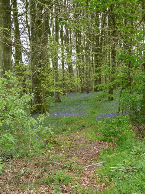
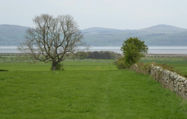
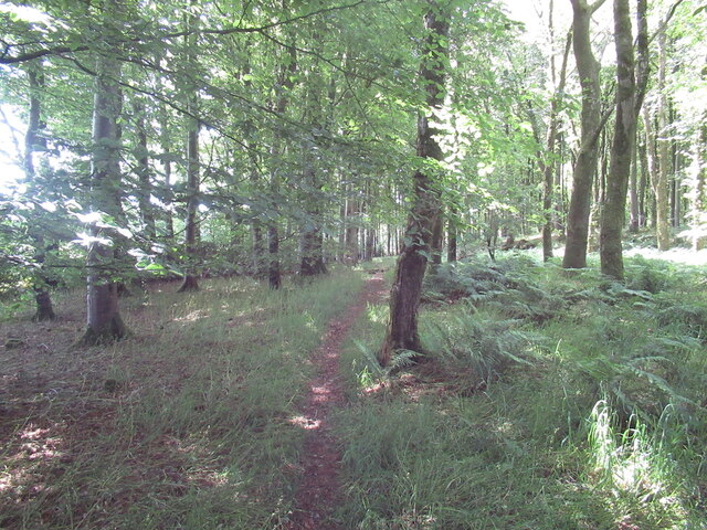
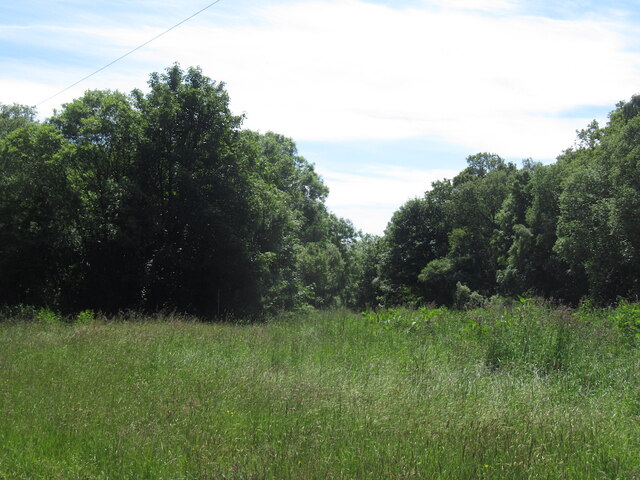
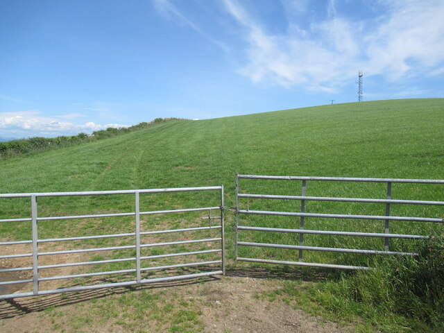
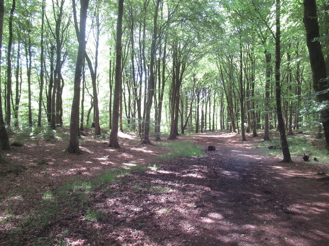
Nature lovers are in for a treat in North Balfern, as the village is surrounded by beautiful landscapes and natural wonders. The nearby Galloway Forest Park, recognized as a Dark Sky Park, offers breathtaking stargazing opportunities. Outdoor enthusiasts can also explore the Solway Coast, with its sandy beaches, rugged cliffs, and diverse wildlife.

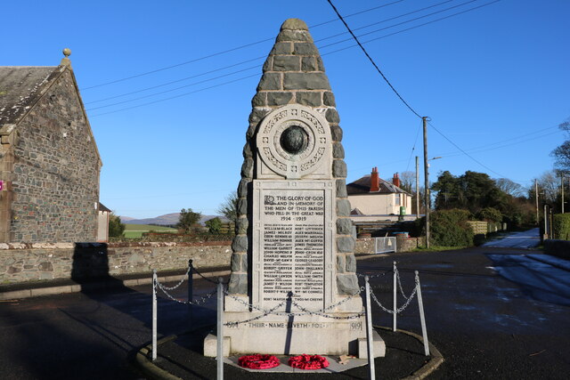
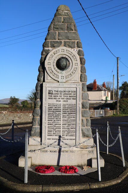
History buffs will appreciate the village's rich heritage. Close by, the Wigtown Bay Local Nature Reserve provides a glimpse into the area's maritime history, offering a haven for birdwatchers and preserving the natural habitat of many species. Additionally, the nearby town of Wigtown is known for its extensive collection of bookshops, making it a must-visit destination for literature enthusiasts.

Overall, North Balfern offers a peaceful and scenic retreat for those seeking a slower pace of life amidst Scotland's stunning natural beauty.

If you have any feedback on the listing, please let us know in the comments section below.

North Balfern Images

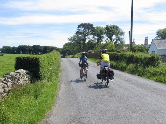
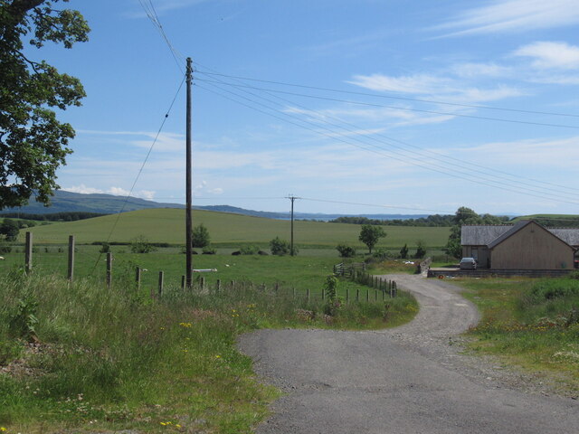
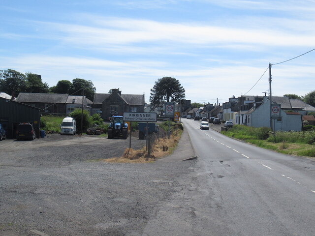
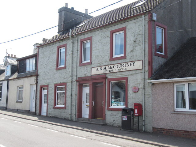
Images are sourced within 2km of 54.83015/-4.4364715 or Grid Reference NX4351. Thanks to Geograph Open Source API. All images are credited.

Bluebells in a glade in The Forest With walks in this Forest Commission Land.
Bluebells in a glade in The Forest
With walks in this Forest Commission Land.
Dry stone wall  Leading down through pastures towards Baldoon Sands.
Dry stone wall
Leading down through pastures towards Baldoon Sands.
Path, Kilsture Forest
Farm sign, Stewarton
Passing Stewarton Touring from Glasgow to Stranraer.
Passing Stewarton
Touring from Glasgow to Stranraer.
Track at Crook of Baldoon Track at Crook of Baldoon RSPB Reserve.
Track at Crook of Baldoon
Track at Crook of Baldoon RSPB Reserve.
View towards Milton Hill, Braehead Milton Hill is a small drumlin.
View towards Milton Hill, Braehead
Milton Hill is a small drumlin.
Kirkinner A746 southwards.
Kirkinner
A746 southwards.
J & M McCourtney Shop, Kirkinner
J & M McCourtney
Shop, Kirkinner
Road junction, Littlehills Wood A big unmown area between two gently diverging roads.
Road junction, Littlehills Wood
A big unmown area between two gently diverging roads.
B7004, Little Hills A one way stretch at a fork in the road away from the A746.
B7004, Little Hills
A one way stretch at a fork in the road away from the A746.
Turkey Hill
Turkey Hill
Kilsture Forest A waymarked path leading from a car park.
Kilsture Forest
A waymarked path leading from a car park.
Kirkinner Primary School Viewed in late January (20th).
Kirkinner Primary School
Viewed in late January (20th).
War Memorial, Kirkinner With the Primary School on the left. Memorial says 1914-1919 even though the war finished in 1918, papers were not signed till 1919. Viewed in late January (20th).
War Memorial, Kirkinner
With the Primary School on the left. Memorial says 1914-1919 even though the war finished in 1918, papers were not signed till 1919. Viewed in late January (20th).
War Memorial, Kirkinner Viewed in late January (20th). Memorial says 1914-1919, war finished in 1918 but papers not signed till 1919.
War Memorial, Kirkinner
Viewed in late January (20th). Memorial says 1914-1919, war finished in 1918 but papers not signed till 1919.
Kirkinner Primary School Viewed in late January (20th).
Kirkinner Primary School
Viewed in late January (20th).
Climbing Wall, Kirkinner On the side to the Primary School. Viewed in late January (20th).
Climbing Wall, Kirkinner
On the side to the Primary School. Viewed in late January (20th).
Show me another place!

North Balfern is located at Grid Ref: NX4351 (Lat: 54.83015, Lng: -4.4364715)

Unitary Authority: Dumfries and Galloway

Police Authority: Dumfries and Galloway

What 3 Words

///reframe.laughs.recline. Near Whithorn, Dumfries & Galloway

Nearby Locations

North Balfern Bank Hill

Related Wikis

Kirkinner railway station

Kirkinner was a railway station on the Wigtownshire Railway branch line, from Newton Stewart to Whithorn, of the Portpatrick and Wigtownshire Joint Railway...

Kirkinner

Kirkinner (Scottish Gaelic: Cille Chainneir, IPA: [ˈkʲʰiʎə ˈxaɲɪɾʲ]) is a village in the Machars, in the historical county of Wigtownshire in Dumfries...

RAF Wigtown

Royal Air Force Wigtown, or more simply RAF Wigtown, is a former Royal Air Force station within the Dumfries and Galloway region of southwest Scotland...

River Cree

The River Cree is a river in Dumfries and Galloway, Scotland which runs through Newton Stewart and into the Solway Firth. It forms part of the boundary...

Nearby Amenities

Located within 500m of 54.83015,-4.4364715
Place: farm
Lat/Long: 54.8328873/-4.4319973
Place: farm
Lat/Long: 54.8306132/-4.4363318
Ring Hill
Natural: peak
Lat/Long: 54.8291972/-4.4343475
North Balfern
Place: hamlet
Lat/Long: 54.8289673/-4.4370028
Historic: archaeological_site
Lat/Long: 54.8289345/-4.434069
Power: pole
Lat/Long: 54.8290616/-4.4439996
Power: pole
Lat/Long: 54.8291499/-4.4426511
Power: pole
Lat/Long: 54.829236/-4.4414327
Power: pole
Lat/Long: 54.8293176/-4.4402085
Power: pole
Lat/Long: 54.8293176/-4.4389881
Power: pole
Lat/Long: 54.8293153/-4.4378337
Power: pole
Lat/Long: 54.8293064/-4.4368112
Power: pole
Lat/Long: 54.829921/-4.4369528
Power: pole
Lat/Long: 54.8303781/-4.4362563
Power: pole
Lat/Long: 54.8292986/-4.4339475
Power: pole
Lat/Long: 54.829302/-4.4352086
Power: pole
Lat/Long: 54.8295388/-4.4350747
Power: pole
Lat/Long: 54.8302485/-4.4346828
Power: pole
Lat/Long: 54.8309548/-4.4343161
Power: pole
Lat/Long: 54.8316767/-4.433932
Power: pole
Lat/Long: 54.8323896/-4.4335304
Power: pole
Lat/Long: 54.828685/-4.4333053
Power: pole
Lat/Long: 54.8278435/-4.4324089
Power: pole
Lat/Long: 54.8270488/-4.431565
Power: pole
Lat/Long: 54.8257241/-4.4352063
Power: pole
Lat/Long: 54.8264096/-4.4343127
Power: pole
Lat/Long: 54.8271506/-4.4333273
Power: pole
Lat/Long: 54.8282642/-4.4318692
Power: pole
Lat/Long: 54.8285825/-4.4314553
Power: pole
Lat/Long: 54.8293032/-4.4305428
Power: pole
Lat/Long: 54.8299439/-4.429748
Power: pole
Lat/Long: 54.8305792/-4.4289154
The data included in this document is from www.openstreetmap.org. The data is made available under ODbL.

Have you been to North Balfern?

Leave your review of North Balfern below (or comments, questions and feedback).