Bank Hill

Hill, Mountain in Wigtownshire

Scotland

Bank Hill

Bluebells in a glade in The Forest With walks in this Forest Commission Land.
Bluebells in a glade in The Forest Credit: Russel Wills

Bank Hill is a prominent feature located in Wigtownshire, Scotland. Standing at an elevation of approximately 290 meters (950 feet), it is considered a hill rather than a mountain. Bank Hill is positioned on the outskirts of the charming village of Wigtown, which is renowned for its literary heritage as Scotland's National Book Town.

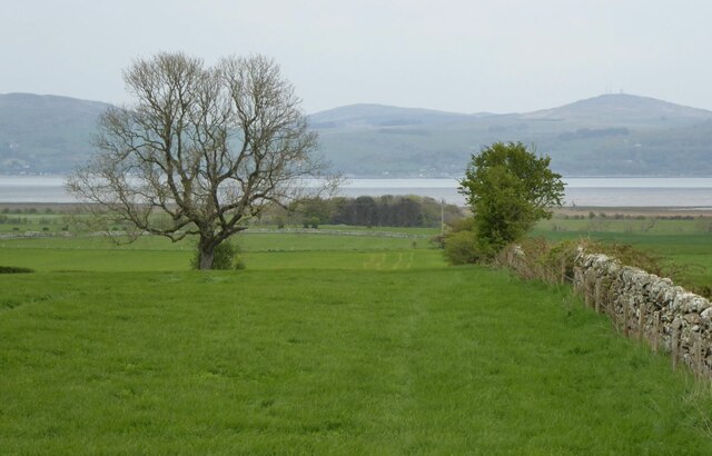
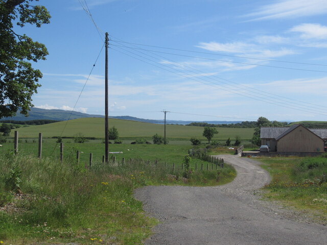
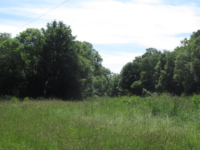
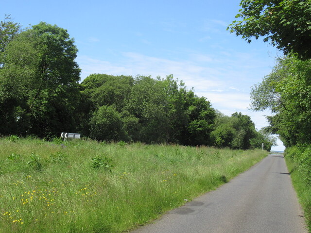
This hill offers breathtaking panoramic views of the surrounding landscape, including the vast expanses of lush green fields, rolling hills, and the sparkling waters of the nearby River Bladnoch. Its strategic location makes it an ideal spot for nature enthusiasts, hikers, and photographers, who can capture the stunning scenery from the various vantage points along the hill.

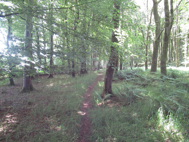
Bank Hill is easily accessible, with well-maintained footpaths leading to its summit. The ascent is relatively gentle, making it suitable for all fitness levels. At the top, visitors are rewarded with a mesmerizing vista that stretches as far as the eye can see. On clear days, it is even possible to catch glimpses of the distant Galloway Hills to the north.

The hill is also home to a diverse range of flora and fauna, including wildflowers, heather, and a variety of bird species. Its natural beauty and tranquility provide a peaceful escape from the hustle and bustle of everyday life.

Bank Hill truly encapsulates the natural splendor of Wigtownshire, attracting both locals and tourists alike. It is a place where visitors can immerse themselves in the breathtaking scenery, enjoy a leisurely walk, and appreciate the wonders of the Scottish countryside.

If you have any feedback on the listing, please let us know in the comments section below.
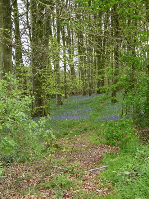
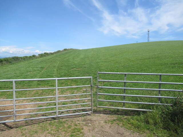
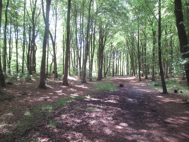
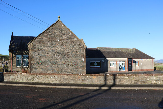
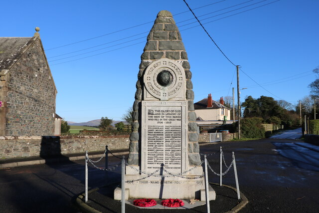
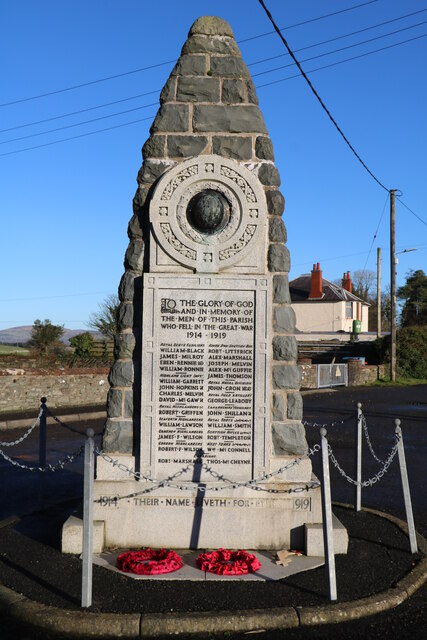
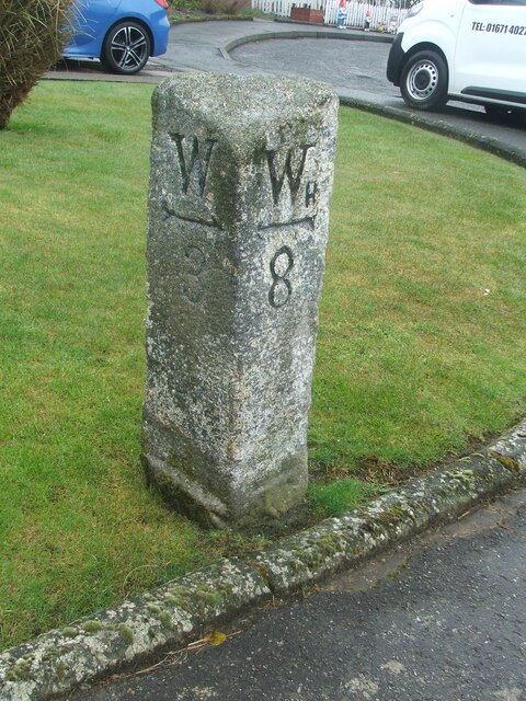
Bank Hill Images

Images are sourced within 2km of 54.835307/-4.4348356 or Grid Reference NX4351. Thanks to Geograph Open Source API. All images are credited.

Bluebells in a glade in The Forest With walks in this Forest Commission Land.
Bluebells in a glade in The Forest
With walks in this Forest Commission Land.
Dry stone wall  Leading down through pastures towards Baldoon Sands.
Dry stone wall
Leading down through pastures towards Baldoon Sands.
Path, Kilsture Forest
Track at Crook of Baldoon Track at Crook of Baldoon RSPB Reserve.
Track at Crook of Baldoon
Track at Crook of Baldoon RSPB Reserve.
View towards Milton Hill, Braehead Milton Hill is a small drumlin.
View towards Milton Hill, Braehead
Milton Hill is a small drumlin.
Kirkinner A746 southwards.
Kirkinner
A746 southwards.
J & M McCourtney Shop, Kirkinner
J & M McCourtney
Shop, Kirkinner
Road junction, Littlehills Wood A big unmown area between two gently diverging roads.
Road junction, Littlehills Wood
A big unmown area between two gently diverging roads.
B7004, Little Hills A one way stretch at a fork in the road away from the A746.
B7004, Little Hills
A one way stretch at a fork in the road away from the A746.
Turkey Hill
Turkey Hill
Kilsture Forest A waymarked path leading from a car park.
Kilsture Forest
A waymarked path leading from a car park.
Kirkinner Primary School Viewed in late January (20th).
Kirkinner Primary School
Viewed in late January (20th).
War Memorial, Kirkinner With the Primary School on the left. Memorial says 1914-1919 even though the war finished in 1918, papers were not signed till 1919. Viewed in late January (20th).
War Memorial, Kirkinner
With the Primary School on the left. Memorial says 1914-1919 even though the war finished in 1918, papers were not signed till 1919. Viewed in late January (20th).
War Memorial, Kirkinner Viewed in late January (20th). Memorial says 1914-1919, war finished in 1918 but papers not signed till 1919.
War Memorial, Kirkinner
Viewed in late January (20th). Memorial says 1914-1919, war finished in 1918 but papers not signed till 1919.
Kirkinner Primary School Viewed in late January (20th).
Kirkinner Primary School
Viewed in late January (20th).
Climbing Wall, Kirkinner On the side to the Primary School. Viewed in late January (20th).
Climbing Wall, Kirkinner
On the side to the Primary School. Viewed in late January (20th).
School Name Sign Viewed in late January (20th).
School Name Sign
Viewed in late January (20th).
Old milestone In 2008 this milestone in Kirkinner was set correctly with the front edge forward.   <a href="https://www.geograph.org.uk/photo/6045683">NX4251 : Old Milestone by the A746, Kirkinner</a>.   On Wigtownshire milestones a W can be for Wigtown or Whithorn.  But as this is the route between the two, Whithorn gets the small H extra.   Once upon a time there was a railway from Newton Stewart via Wigtown to Whithorn.
Old milestone
In 2008 this milestone in Kirkinner was set correctly with the front edge forward. NX4251 : Old Milestone by the A746, Kirkinner. On Wigtownshire milestones a W can be for Wigtown or Whithorn. But as this is the route between the two, Whithorn gets the small H extra. Once upon a time there was a railway from Newton Stewart via Wigtown to Whithorn.
Show me another place!

Bank Hill is located at Grid Ref: NX4351 (Lat: 54.835307, Lng: -4.4348356)

Unitary Authority: Dumfries and Galloway

Police Authority: Dumfries and Galloway

What 3 Words

///servicing.typed.passing. Near Whithorn, Dumfries & Galloway

Nearby Locations

North Balfern Bank Hill

Related Wikis

Kirkinner railway station

Kirkinner was a railway station on the Wigtownshire Railway branch line, from Newton Stewart to Whithorn, of the Portpatrick and Wigtownshire Joint Railway...

RAF Wigtown

Royal Air Force Wigtown, or more simply RAF Wigtown, is a former Royal Air Force station within the Dumfries and Galloway region of southwest Scotland...
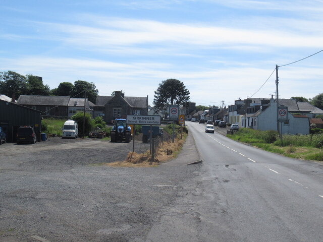
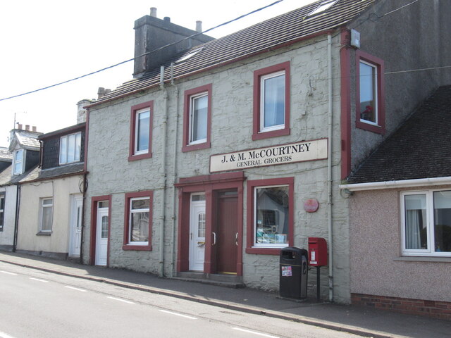
Kirkinner

Kirkinner (Scottish Gaelic: Cille Chainneir, IPA: [ˈkʲʰiʎə ˈxaɲɪɾʲ]) is a village in the Machars, in the historical county of Wigtownshire in Dumfries...

River Cree

The River Cree is a river in Dumfries and Galloway, Scotland which runs through Newton Stewart and into the Solway Firth. It forms part of the boundary...

Nearby Amenities

Located within 500m of 54.835307,-4.4348356
Place: farm
Lat/Long: 54.8328873/-4.4319973
Bank Hill
Natural: peak
Lat/Long: 54.8348193/-4.4351156
Power: pole
Lat/Long: 54.8309548/-4.4343161
Power: pole
Lat/Long: 54.8316767/-4.433932
Power: pole
Lat/Long: 54.8323896/-4.4335304
The data included in this document is from www.openstreetmap.org. The data is made available under ODbL.

Have you been to Bank Hill?

Leave your review of Bank Hill below (or comments, questions and feedback).