Norden

Settlement in Lancashire Hyndburn

England

Norden

Windy Bank Trig Point Flush Bracket S4703
Windy Bank Trig Point Flush Bracket S4703 Credit: thejackrustles

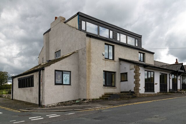
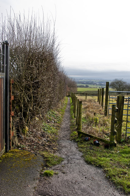
Norden is a small village located in the Rossendale Valley, within the county of Lancashire in North West England. Situated about 4 miles north of Rochdale and 15 miles north of Manchester, Norden enjoys a picturesque setting surrounded by rolling hills and countryside.

The village has a rich history that dates back to the medieval period, with evidence of settlements and agriculture found in the area. Over the years, Norden has transformed from a predominantly agricultural community to a residential area, attracting families and individuals seeking a peaceful and scenic place to live.

Despite its rural charm, Norden benefits from excellent transport links, making it an attractive location for commuters. The village is well-connected to nearby towns and cities via the A680 road and has regular bus services that provide easy access to Rochdale and Manchester.

A range of amenities can be found in Norden, including a primary school, a post office, local shops, and a few dining options. Additionally, the village is home to the Norden Cricket Club, which has a long-established history and plays an important role in the local community.

The surrounding countryside offers ample opportunities for outdoor activities, such as hiking, cycling, and horse riding. Norden is also near to Healey Dell Nature Reserve, a beautiful wooded valley with a river and waterfalls, providing a serene escape for nature enthusiasts.

In summary, Norden is a charming village nestled in the Lancashire countryside, offering a peaceful retreat while still maintaining convenient access to nearby urban centers.

If you have any feedback on the listing, please let us know in the comments section below.
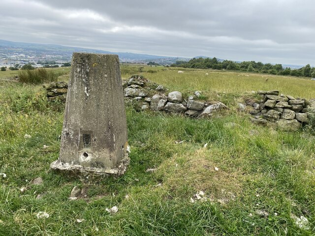
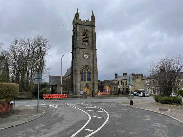
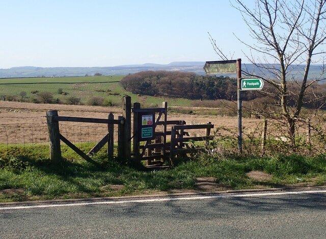
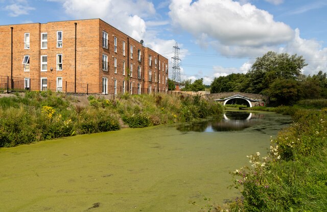
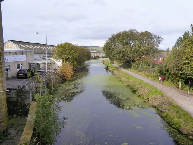
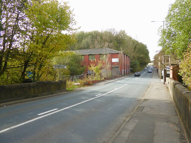
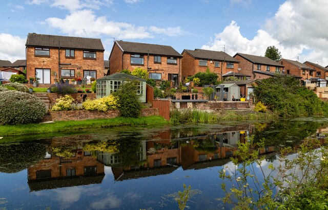
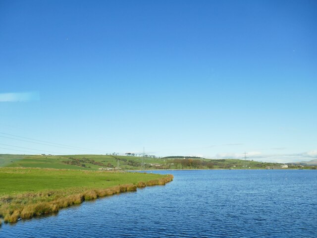
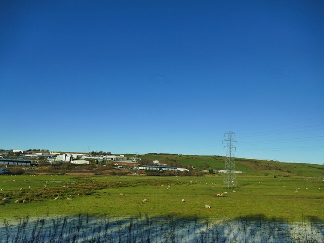
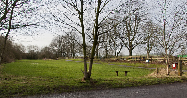
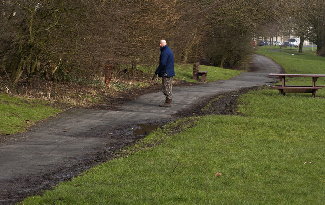
Norden Images

Images are sourced within 2km of 53.773306/-2.4248651 or Grid Reference SD7230. Thanks to Geograph Open Source API. All images are credited.

Windy Bank Trig Point Flush Bracket S4703
Church of St. Peter & St. Paul, Rishton
Footpath leading to Dean Clough Reservoir The style for the footpath leading across the field opposite the layby on Blackburn Old Road. Both York Road and Dean Clough reservoir can be accessed using the footpath.
Footpath leading to Dean Clough Reservoir
The style for the footpath leading across the field opposite the layby on Blackburn Old Road. Both York Road and Dean Clough reservoir can be accessed using the footpath.
Melrose House Melrose House in Rishton, alongside the Leeds & Liverpool Canal.
Melrose House
Melrose House in Rishton, alongside the Leeds & Liverpool Canal.
Leeds & Liverpool Canal The Leeds and Liverpool Canal is the longest canal in Northern England at 127 miles long. The first of the trans-Pennine canals it took 46 years to build at a cost of five times the original budget, mainly because of the length and complexity of the route. It passes through 91 locks with a summit level of 487 feet at Foulridge near Nelson and Colne. It was originally conceived in the 18th century to carry woollen goods from Leeds and Bradford and limestone from Skipton but in its 19th century heyday it carried stone, coal and many other goods. The impact of the railways was not as great as with other canals and commercial traffic continued along the main canal until 1964. Regular work stopped in 1972 when the movement of coal to Wigan Power Station ceased. In the latter part of the 20th century the leisure potential of the canal was developed and it is now a popular destination for cruising, fishing, walking and cycling. See <span class="nowrap"><a title="http://www.penninewaterways.co.uk/ll/index.htm" rel="nofollow ugc noopener" href="http://www.penninewaterways.co.uk/ll/index.htm">Link</a><img style="margin-left:2px;" alt="External link" title="External link - shift click to open in new window" src="https://s1.geograph.org.uk/img/external.png" width="10" height="10"/></span> for detailed information.
Leeds & Liverpool Canal
The Leeds and Liverpool Canal is the longest canal in Northern England at 127 miles long. The first of the trans-Pennine canals it took 46 years to build at a cost of five times the original budget, mainly because of the length and complexity of the route. It passes through 91 locks with a summit level of 487 feet at Foulridge near Nelson and Colne. It was originally conceived in the 18th century to carry woollen goods from Leeds and Bradford and limestone from Skipton but in its 19th century heyday it carried stone, coal and many other goods. The impact of the railways was not as great as with other canals and commercial traffic continued along the main canal until 1964. Regular work stopped in 1972 when the movement of coal to Wigan Power Station ceased. In the latter part of the 20th century the leisure potential of the canal was developed and it is now a popular destination for cruising, fishing, walking and cycling. See LinkExternal link for detailed information.
Hen Moss The only visible remains of the property at Hen Moss on Blackburn Old Road.
Hen Moss
The only visible remains of the property at Hen Moss on Blackburn Old Road.
Four Winds
Four Winds
Communications Mast
Communications Mast
New Inns Old public house at New Inns.
New Inns
Old public house at New Inns.
Leeds and Liverpool Canal View from the bridge on Hermitage Street
Leeds and Liverpool Canal
View from the bridge on Hermitage Street
Entering Rishton on Hermitage Street At the end of Holt Mill Bridge with the former Rishton Paper Mill ahead and the climb up into Rishton
Entering Rishton on Hermitage Street
At the end of Holt Mill Bridge with the former Rishton Paper Mill ahead and the climb up into Rishton
Rishton railway station, Lancashire Opened in 1853 by the East Lancashire Railway, later part of the Lancashire & Yorkshire Railway, on the line from Blackburn to Burnley. There may have also been a station open here for a few months in 1848.
View east, towards Church & Oswaldtwistle and Accrington. The station building and goods shed were formerly on the platform to the left and unusually, a goods siding ran where the houses on the far left now are, meaning that the footbridge was longer as it had to cross that as well. 
New waiting shelters have been provided since <a href="https://www.geograph.org.uk/photo/3204566">SD7229 : Rishton railway station, Lancashire</a> was taken on the left-hand platform.
Rishton railway station, Lancashire
Opened in 1853 by the East Lancashire Railway, later part of the Lancashire & Yorkshire Railway, on the line from Blackburn to Burnley. There may have also been a station open here for a few months in 1848. View east, towards Church & Oswaldtwistle and Accrington. The station building and goods shed were formerly on the platform to the left and unusually, a goods siding ran where the houses on the far left now are, meaning that the footbridge was longer as it had to cross that as well. New waiting shelters have been provided since SD7229 : Rishton railway station, Lancashire was taken on the left-hand platform.
Rishton Petre Crescent in Rishton, seen from the Leeds & Liverpool Canal.
Rishton
Petre Crescent in Rishton, seen from the Leeds & Liverpool Canal.
Rishton Reservoir The reservoir serves the Leeds and Liverpool canal, and was built in 1828. Compare this early winter view of a full reservoir, with a spring one when it was drawn down <a href="https://www.geograph.org.uk/photo/3414218">SD7129 : Rishton Reservoir</a>.
Rishton Reservoir
The reservoir serves the Leeds and Liverpool canal, and was built in 1828. Compare this early winter view of a full reservoir, with a spring one when it was drawn down SD7129 : Rishton Reservoir.
Field east of the canal at Whitebirk The Leeds and Liverpool canal passes in front of the buildings in the distance, and at this point acts as the boundary between Blackburn unitary authority in which the buildings lie, and Lancashire county this side.
Field east of the canal at Whitebirk
The Leeds and Liverpool canal passes in front of the buildings in the distance, and at this point acts as the boundary between Blackburn unitary authority in which the buildings lie, and Lancashire county this side.
Open space by the cemetery
Walking an agile dog
A footpath not marked as a right of way The lake in the distance is, I believe, an illusion. Not a mirage but a trick of the clouds. There is no significant body of water in that direction nearer than Mitchell’s House Reservoir which is too far.
A footpath not marked as a right of way
The lake in the distance is, I believe, an illusion. Not a mirage but a trick of the clouds. There is no significant body of water in that direction nearer than Mitchell’s House Reservoir which is too far.
Show me another place!

Norden is located at Grid Ref: SD7230 (Lat: 53.773306, Lng: -2.4248651)

Administrative County: Lancashire

District: Hyndburn

Police Authority: Lancashire

What 3 Words

///strain.sooner.risen. Near Rishton, Lancashire

Nearby Locations

Norden

Related Wikis

The Hyndburn Academy

The Hyndburn Academy, previously known as Norden High School and Sports College, is the united learning academy school situated in the town of Rishton...

Rishton

Rishton is a town in the Hyndburn district of Lancashire, England, about 2 miles (3 km) west of Clayton-le-Moors and 4 miles (6 km) north east of Blackburn...

Rishton railway station

Rishton railway station is in the southern part of the town of Rishton, Lancashire, England. The station is on the East Lancashire Line, operated by Northern...

Tottleworth

Tottleworth is a small hamlet situated between Great Harwood and Rishton in Lancashire, England. It situated close to the confluence of Lidgett and Norden...

Nearby Amenities

Located within 500m of 53.773306,-2.4248651
Power: tower
Source: OS 1:25k
Lat/Long: 53.7709775/-2.4273181
Bus Stop
Public Transport: platform
Lat/Long: 53.7706566/-2.4200707
Barrier: rope
Lat/Long: 53.7721108/-2.4316397
Bench
Lat/Long: 53.7721172/-2.4306203
Bus Stop
Naptan AtcoCode: 250015516
Naptan NaptanCode: lanapmtp
Public Transport: platform
Lat/Long: 53.7740566/-2.4239966
Bench
Lat/Long: 53.7734537/-2.4220624
Power: tower
Lat/Long: 53.7736088/-2.4194058
Power: tower
Lat/Long: 53.7721163/-2.4223721
Power: tower
Lat/Long: 53.770604/-2.4270445
Power: tower
Lat/Long: 53.7724682/-2.4226993
The data included in this document is from www.openstreetmap.org. The data is made available under ODbL.

Have you been to Norden?

Leave your review of Norden below (or comments, questions and feedback).