Newtown-in-St Martin

Settlement in Cornwall

England

Newtown-in-St Martin

Farmland, St Keverne Seen from the footpath between Traboe and Rosuick.
Farmland, St Keverne Credit: Andrew Smith

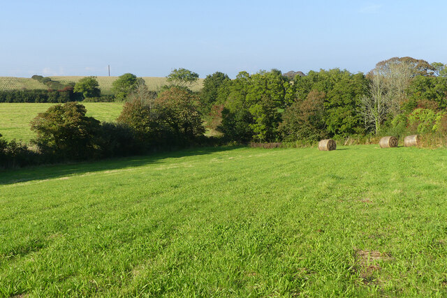
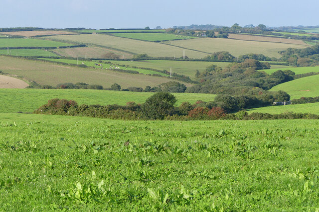
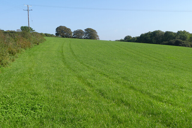
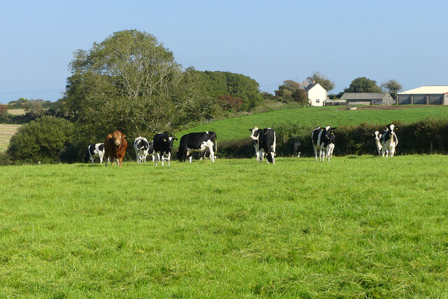
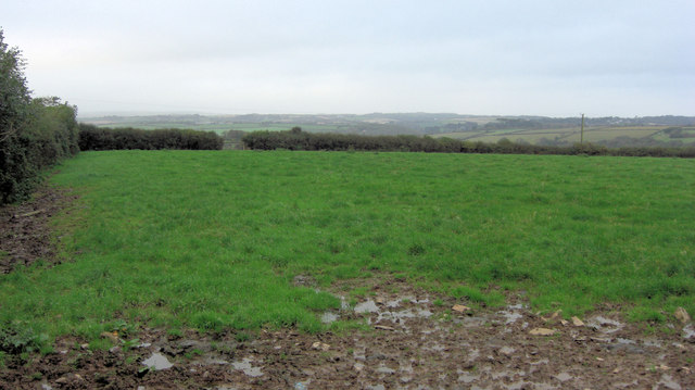
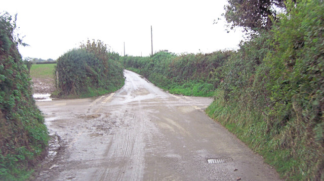
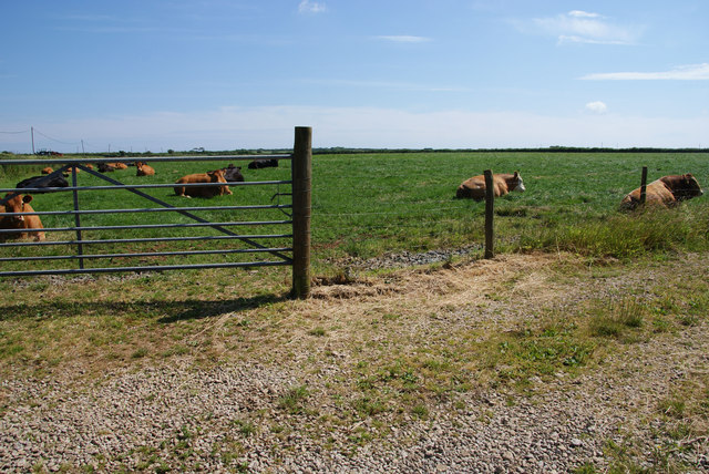
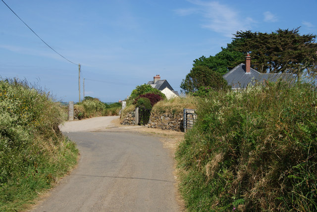
Newtown-in-St Martin is a small village located in the civil parish of St Martin on the Lizard Peninsula in Cornwall, England. Situated approximately 3 miles west of Helston, it is nestled in a rural and picturesque setting, surrounded by rolling green hills and farmland.

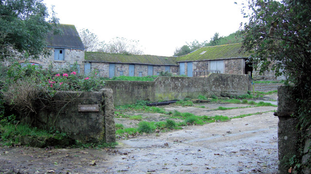
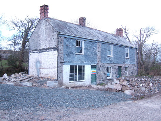
The village itself consists of a collection of charming stone cottages, some dating back several centuries, giving it a quaint and traditional feel. The community is tight-knit, with a friendly and welcoming atmosphere that is characteristic of rural Cornish villages.

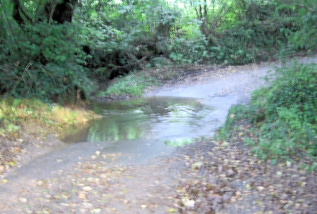
Newtown-in-St Martin benefits from its proximity to the beautiful Cornish coastline, with the rugged cliffs and sandy beaches of the Lizard Peninsula just a short drive away. This makes it an ideal location for those who enjoy outdoor activities such as hiking, birdwatching, and surfing.

One of the notable landmarks in Newtown-in-St Martin is the St Martin's Church, a historic building that dates back to the 12th century. The church is known for its beautiful stained glass windows and unique architectural features.

Despite its small size, Newtown-in-St Martin offers some amenities for residents and visitors, including a local pub and a village hall that hosts various community events throughout the year.

Overall, Newtown-in-St Martin is a charming and peaceful village, perfect for those seeking a tranquil retreat in the beautiful Cornish countryside.

If you have any feedback on the listing, please let us know in the comments section below.

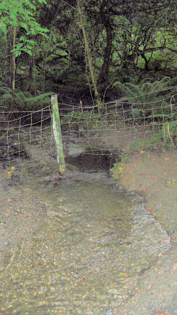
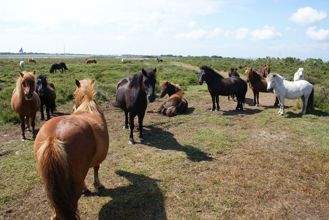
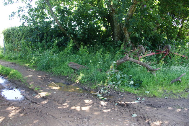
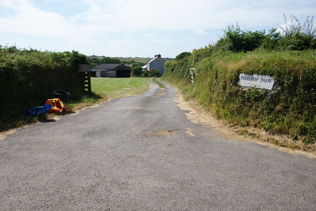
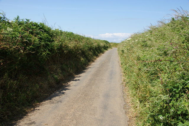
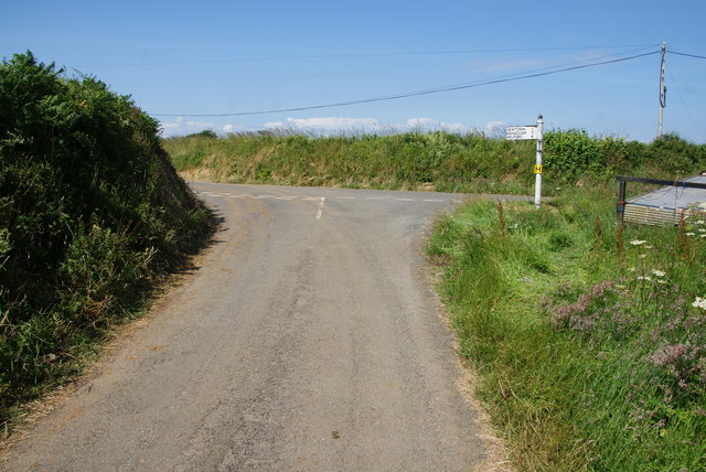
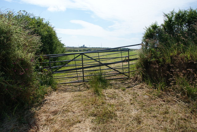
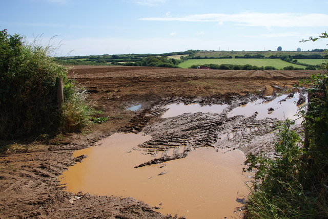
Newtown-in-St Martin Images

Images are sourced within 2km of 50.065669/-5.1574039 or Grid Reference SW7423. Thanks to Geograph Open Source API. All images are credited.

Farmland, St Keverne Seen from the footpath between Traboe and Rosuick.
Farmland, St Keverne
Seen from the footpath between Traboe and Rosuick.
Farmland, St Keverne The view north-east from Tregeague.
Farmland, St Keverne
The view north-east from Tregeague.
Farmland, St Martin-in-Meneage A footpath follows the field's edge before passing to the north of Trewince.
Farmland, St Martin-in-Meneage
A footpath follows the field's edge before passing to the north of Trewince.
Pasture, St Martin-in-Meneage Looking towards Halliggye Farm from the footpath south of St Martin's church.
Pasture, St Martin-in-Meneage
Looking towards Halliggye Farm from the footpath south of St Martin's church.
Tregithew Farm This is part of a group of planned farm buildings associated with Tregithew Farmhouse, which is an unusually good 17th and 18th C house. These buildings comprise a barn, piggery and shelter shed. Built around the early-mid 19th C.
Tregithew Farm
This is part of a group of planned farm buildings associated with Tregithew Farmhouse, which is an unusually good 17th and 18th C house. These buildings comprise a barn, piggery and shelter shed. Built around the early-mid 19th C.
Ford at Carnbarges
Ford at Carnbarges
Pasture south of Withan
Unnamed lane crosses Ford's Hill
Tributary of Tremayne Creek
Ponies on the edge of Goonhilly Downs These ponies have been imported, I think from Exmoor.
Ponies on the edge of Goonhilly Downs
These ponies have been imported, I think from Exmoor.
Farm equipment dumped in the long grass It looks like a harrow which has been left by the side of the road.
Farm equipment dumped in the long grass
It looks like a harrow which has been left by the side of the road.
Entrance to Polkerth Farm
Lane near Polkerth Farm There are no field entrances and the hedgerows are too high to see over, so you don't get a view.
Lane near Polkerth Farm
There are no field entrances and the hedgerows are too high to see over, so you don't get a view.
Road junction near Trelaminney There is a network of quiet lanes.
Road junction near Trelaminney
There is a network of quiet lanes.
Field entrance opposite Trelaminney Farm You can see as far as Goonhilly Earth Station. The double gating looks to be an effective barrier.
Field entrance opposite Trelaminney Farm
You can see as far as Goonhilly Earth Station. The double gating looks to be an effective barrier.
Muddy field entrance The Goonhilly Earth Station is visible on the skyline.
Muddy field entrance
The Goonhilly Earth Station is visible on the skyline.
Cows and a bull resting near Tretharrup Isn't it supposed to mean rain is coming when cows are sitting? The day after this was forecast to be very fine, and so it proved.
Cows and a bull resting near Tretharrup
Isn't it supposed to mean rain is coming when cows are sitting? The day after this was forecast to be very fine, and so it proved.
The lane at Tretharrup There are a handful of cottages here as well as a farm.
The lane at Tretharrup
There are a handful of cottages here as well as a farm.
Show me another place!

Newtown-in-St Martin is located at Grid Ref: SW7423 (Lat: 50.065669, Lng: -5.1574039)

Unitary Authority: Cornwall

Police Authority: Devon and Cornwall

Also known as: Newtown-in-St. Martin

What 3 Words

///reading.dads.fussy. Near Mullion, Cornwall

Related Wikis

Newtown-in-St Martin

Newtown-in-St Martin is a hamlet in the parish of St Martin-in-Meneage, Cornwall, England. Newtown is south-southeast of St Martin's Green. == References ==

St Martin-in-Meneage

St Martin-in-Meneage (Cornish: Dydemin) is a civil parish and village in the Meneage district of the Lizard Peninsula in Cornwall, England, United Kingdom...

Tregidden

Tregidden (Cornish: Tregudyn) is a hamlet south of Manaccan in Cornwall, England, United Kingdom. A little further south is Tregidden Farm. Tregidden is...

Meneage

The Meneage (Cornish: Menaghek or Manahek) is a district in west Cornwall, United Kingdom. The nearest large towns are Falmouth and Helston. (Note: the...

Traboe

Traboe (pronounced tray-bow) (Cornish: Treworabo) is a hamlet on the Lizard Peninsula, Cornwall, England, United Kingdom. Traboe is about 5 km west of...

Goonhilly Satellite Earth Station

Goonhilly Satellite Earth Station is a large radiocommunication site located on Goonhilly Downs near Helston on the Lizard peninsula in Cornwall, England...

Halliggye Fogou

Halliggye Fogou is one of many fogous in Cornwall, England, United Kingdom. The site is under the guardianship of English Heritage, and managed by the...

Manaccan

Manaccan (; Cornish: Manahan) is a civil parish and village on the Lizard peninsula in south Cornwall, England, United Kingdom. The village is about five...

Nearby Amenities

Located within 500m of 50.065669,-5.1574039
Newtown
Is In: Cornwall, England, UK
Is In Country: England
Is In Country Code: GB
Is In County: Cornwall
Name Kw: Trenowydh
Place: hamlet
Source: npe
Lat/Long: 50.0658406/-5.1571425
Direction: S
Generator Method: photovoltaic
Generator Source: solar
Generator Type: solar_photovoltaic_panel
Power: generator
Lat/Long: 50.0645137/-5.1574065
Post Box
Brand: Royal Mail
Brand Wikidata: Q638098
Collection Times: Mo-Fr 09:00; Sa 07:00; Su off
Drive Through: no
Operator: Royal Mail
Operator Wikidata: Q638098
Post Box Mounting: building
Post Box Type: wall
Ref: TR12 27D
Royal Cypher: VR
Royal Cypher Wikidata: Q33102356
Source: survey;streetlevel imagery;aerial imagery
Lat/Long: 50.0655575/-5.1573683
Defibrillator
Access: yes
Booth: K6
Covered: booth
Defibrillator Location: inside old red phone box in Newtown
Disused Amenity: telephone
Emergency: defibrillator
Man Made: telephone_box
Mapillary: 642733061144529
Lat/Long: 50.06522/-5.1558836
Waste Basket
Waste: dog_excrement
Lat/Long: 50.0652577/-5.15597
Give Way
Direction: backward
Lat/Long: 50.0652431/-5.1557251
The data included in this document is from www.openstreetmap.org. The data is made available under ODbL.

Have you been to Newtown-in-St Martin?

Leave your review of Newtown-in-St Martin below (or comments, questions and feedback).